Ford

Settlement in Midlothian

Scotland

Ford

The drive, Vogrie House
The drive, Vogrie House Credit: Richard Webb

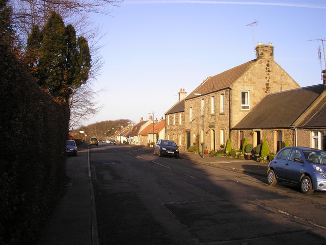
Ford is a small village located in the Midlothian council area of Scotland. Situated approximately 10 miles south of Edinburgh, it lies along the east bank of the River North Esk. With a population of around 500 residents, Ford is a quaint and picturesque settlement surrounded by rolling hills and green countryside.

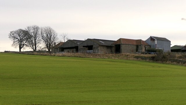
The village has a rich history dating back to ancient times, with evidence of Bronze Age settlements in the area. Throughout the centuries, Ford has remained a rural community, known for its farming and agriculture. The fertile land and favorable climate contribute to the village's agricultural activities, which primarily focus on arable farming and livestock rearing.

Ford is home to several notable landmarks and attractions. One of the most prominent is Ford Castle, a historic fortress built in the 14th century. The castle has witnessed various events in Scottish history and is now a popular venue for weddings and events.

The village also boasts a charming primary school, Ford Primary School, which caters to the educational needs of local children. Additionally, there is a village hall that serves as a hub for community gatherings and events.

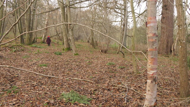
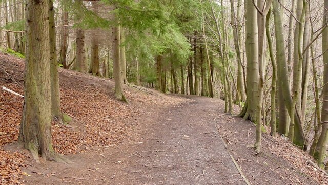
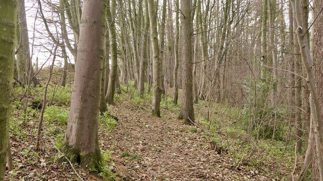
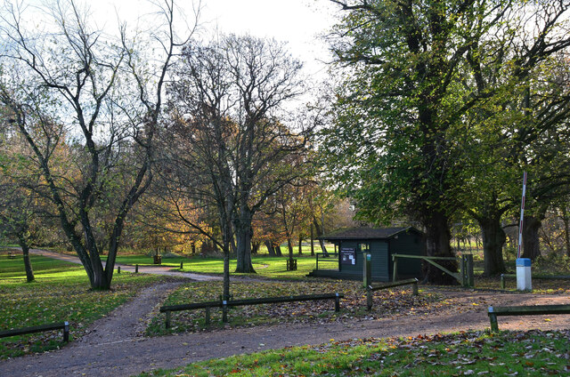
For outdoor enthusiasts, Ford offers ample opportunities for exploring nature. The surrounding countryside provides scenic walking trails, fishing spots along the river, and breathtaking views of the Midlothian landscape.

Although Ford is a small village, it offers a peaceful and close-knit community atmosphere, making it an attractive place for those seeking a tranquil rural lifestyle within easy reach of urban amenities.

If you have any feedback on the listing, please let us know in the comments section below.
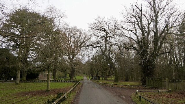
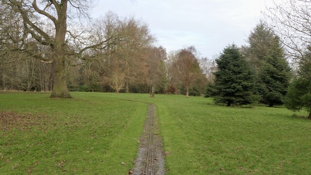
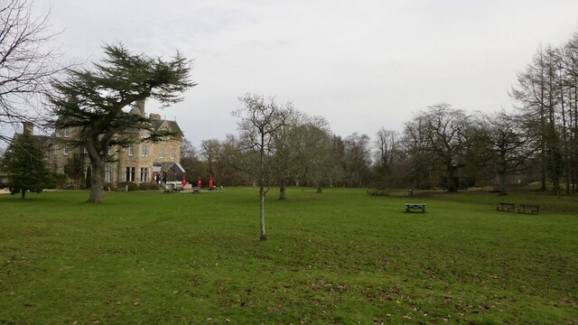
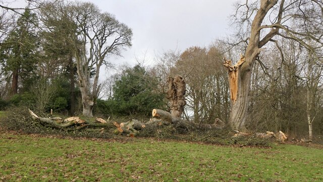
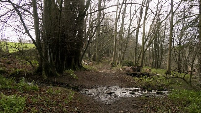
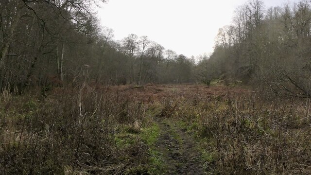
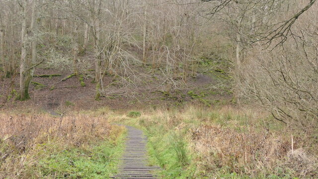
Ford Images

Images are sourced within 2km of 55.865171/-2.9922179 or Grid Reference NT3864. Thanks to Geograph Open Source API. All images are credited.

The drive, Vogrie House
Railway, Vogrie Country Park
Vogrie House Notes on the history of this estate, now owned and run as a country park by Midlothian Council can be found here: <a href="https://www.geograph.org.uk/photo/2141929">NT3863 : Vogrie House</a>
Vogrie House
Notes on the history of this estate, now owned and run as a country park by Midlothian Council can be found here: NT3863 : Vogrie House
Storm damage, Vogrie Country Park After the northerly gales on 26th November 2021. There are a lot of aged trees here.
Storm damage, Vogrie Country Park
After the northerly gales on 26th November 2021. There are a lot of aged trees here.
Giant trike sculpture, Vogrie Country Park
Former field, Vogrie Now an open space in the country park.
Former field, Vogrie
Now an open space in the country park.
Pond, Vogrie Country Park
Fallen tree, Vogrie Country Park There is a lot of fallen dead wood at Vogrie which enhances the biodiversity of the woodlands.
Fallen tree, Vogrie Country Park
There is a lot of fallen dead wood at Vogrie which enhances the biodiversity of the woodlands.
Crow Wood, Vogrie
Crow Wood, Vogrie
Path, Vogrie Wood Descending to the Tyne Water, following the Vogrie Burn.
Path, Vogrie Wood
Descending to the Tyne Water, following the Vogrie Burn.
Tyne Water, Vogrie One of those rivers which is a tributary of a watercourse with a similar name. It flows into the River Tyne which gains much of its flow from the Humbie/Birnie/Colstoun Waters.
Tyne Water, Vogrie
One of those rivers which is a tributary of a watercourse with a similar name. It flows into the River Tyne which gains much of its flow from the Humbie/Birnie/Colstoun Waters.
Path, Vogrie Wood On the edge of the woodland, high above the Tyne Water.
Path, Vogrie Wood
On the edge of the woodland, high above the Tyne Water.
Turniedykes by Pathhead
Turniedykes Strip Not a stripwood, but part of the Vogrie Estate woodlands. The path runs along the eastern edge of the wood, high above the Tyne Water. The burn is the outflow of field drains.
Turniedykes Strip
Not a stripwood, but part of the Vogrie Estate woodlands. The path runs along the eastern edge of the wood, high above the Tyne Water. The burn is the outflow of field drains.
Alderdean Marshland beside the Tyne Water, Vogrie
Alderdean
Marshland beside the Tyne Water, Vogrie
Path, Alderdean Raised walkway over a marsh.
Path, Alderdean
Raised walkway over a marsh.
Cafe, Vogrie House
Cafe, Vogrie House
Drive to Vogrie House The grounds of the 19th century Vogrie House are now a Country Park, managed by Midlothian Council. The hut is an information point.
Drive to Vogrie House
The grounds of the 19th century Vogrie House are now a Country Park, managed by Midlothian Council. The hut is an information point.
Show me another place!

Ford is located at Grid Ref: NT3864 (Lat: 55.865171, Lng: -2.9922179)

Unitary Authority: Midlothian

Police Authority: The Lothians and Scottish Borders

What 3 Words

///fattest.crouches.drizzly. Near Mayfield, Midlothian

Nearby Locations

Ford Dewar Town Glen

Related Wikis

Dewartown

Dewartown is a small hamlet in Midlothian, Scotland (near Pathhead and Mayfield). Its name relates to the Dewar family who owned the nearby Vogrie House...

Vogrie Country Park

Vogrie Country Park in Scotland is managed by Midlothian Council. It consists of a woodland estate surrounding the Victorian Vogrie House. It is located...

Vogrie House

Vogrie House forms the centrepiece of Vogrie Country Park in Midlothian. It was built for James Dewar and his family in 1876 by Andrew Heiton, the town...

Edgehead

Edgehead (also known as Chesterhill) is a village in Midlothian, Scotland. == Location == Edgehead is situated east of Dewartown and Mayfield, north-west...

Nearby Amenities

Located within 500m of 55.865171,-2.9922179
Post Box
Collection Times: Mo-Fr 16:00; Sa 11:15
Operator: Royal Mail
Post Box Type: lamp
Ref: EH23 280
Royal Cypher: scottish_crown
Lat/Long: 55.8663463/-2.9945753
Power: tower
Lat/Long: 55.8656542/-2.9910181
Dewartown
Place: hamlet
Wikidata: Q5268091
Wikipedia: en:Dewartown
Lat/Long: 55.8664119/-2.9942739
Power: tower
Lat/Long: 55.8629192/-2.9867713
Power: tower
Lat/Long: 55.864015/-2.9884309
Power: tower
Lat/Long: 55.8673488/-2.991679
Generator Method: photovoltaic
Generator Output Electricity: yes
Generator Source: solar
Generator Type: solar_photovoltaic_panel
Power: generator
Lat/Long: 55.8665858/-2.9945964
Power: pole
Lat/Long: 55.8687688/-2.9961214
Power: pole
Lat/Long: 55.8680418/-2.9960721
Power: pole
Lat/Long: 55.8673797/-2.996029
Power: pole
Lat/Long: 55.8664227/-2.9959407
Power: pole
Lat/Long: 55.86591/-2.9999122
Power: pole
Lat/Long: 55.866062/-2.9987516
Power: pole
Lat/Long: 55.8662164/-2.9975597
Power: pole
Lat/Long: 55.8679818/-2.9912702
Power: pole
Lat/Long: 55.867665/-2.99012
Power: pole
Lat/Long: 55.8673201/-2.9889073
The data included in this document is from www.openstreetmap.org. The data is made available under ODbL.

Have you been to Ford?

Leave your review of Ford below (or comments, questions and feedback).