Valley of Uraday
Valley in Orkney
Scotland
Valley of Uraday
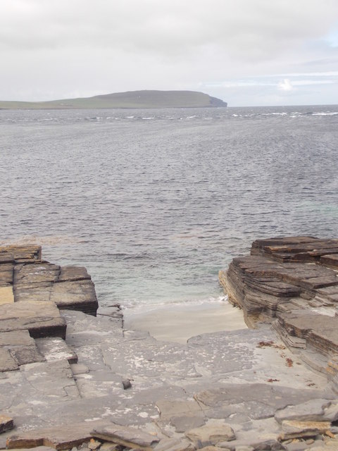
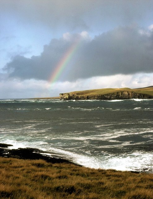
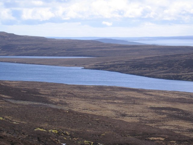
The Valley of Uraday is a picturesque valley located in Orkney, an archipelago in Scotland. Nestled amidst rolling hills and lush green landscapes, this valley is known for its natural beauty and serene environment. It is situated on the island of Mainland, which is the largest island in the Orkney archipelago.
The valley is characterized by its wide open spaces, with the Rendall Burn meandering through it, adding to its charm. The valley is surrounded by hills on all sides, providing a stunning backdrop to the landscape. The hills are covered in heather and wildflowers, creating a colorful spectacle during the summer months.
Uraday is home to a diverse range of flora and fauna. The valley boasts a variety of bird species, including the elusive hen harrier, curlew, and oystercatcher. The presence of these birds makes the valley a popular spot for birdwatching enthusiasts. Additionally, visitors may also spot rabbits, hares, and other small mammals that call the valley their home.
The Valley of Uraday offers numerous opportunities for outdoor activities. Hiking and walking enthusiasts can explore the valley on foot, enjoying the stunning vistas and peaceful ambiance. The valley is also an ideal spot for picnicking, with several picturesque spots along the Rendall Burn.
Overall, the Valley of Uraday in Orkney is a tranquil and visually stunning location, offering visitors a chance to immerse themselves in the natural beauty of the Scottish countryside.
If you have any feedback on the listing, please let us know in the comments section below.
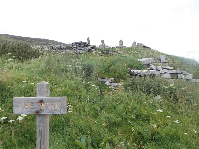
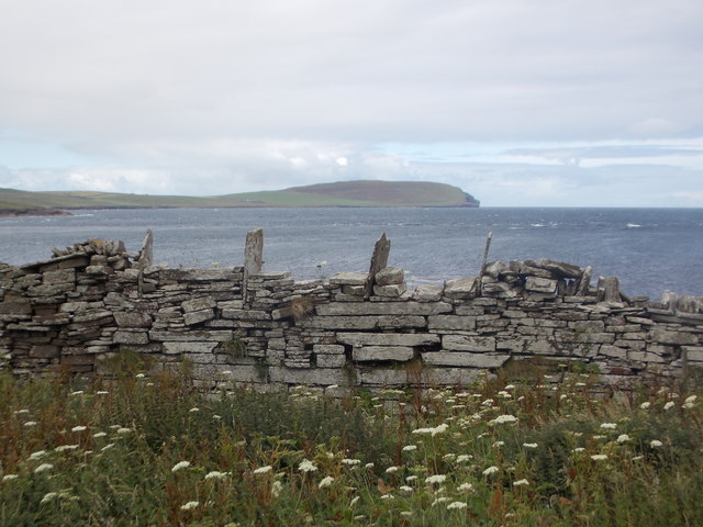
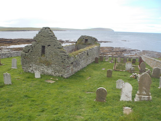
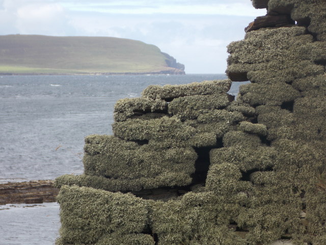
Valley of Uraday Images
Images are sourced within 2km of 59.149965/-3.0800918 or Grid Reference HY3829. Thanks to Geograph Open Source API. All images are credited.
Valley of Uraday is located at Grid Ref: HY3829 (Lat: 59.149965, Lng: -3.0800918)
Unitary Authority: Orkney Islands
Police Authority: Highlands and Islands
What 3 Words
///lovely.deserved.drummers. Near Evie, Orkney Islands
Nearby Locations
Related Wikis

Knowe of Swandro
The Knowe of Swandro is an archaeological site located on the Bay of Swandro on Rousay in Orkney, Scotland. The site consists of a 5000-year-old Neolithic...
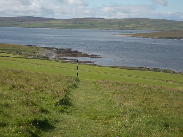
Muckle Water
Muckle Water is a long, narrow fresh water loch on Ward Hill on Rousay, Orkney, Scotland. It is the biggest loch on the island and is popular for fishing...

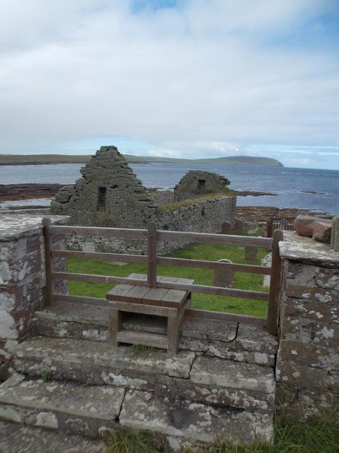
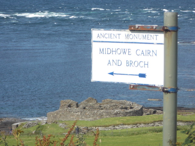
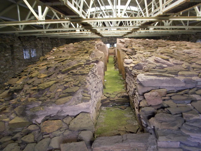
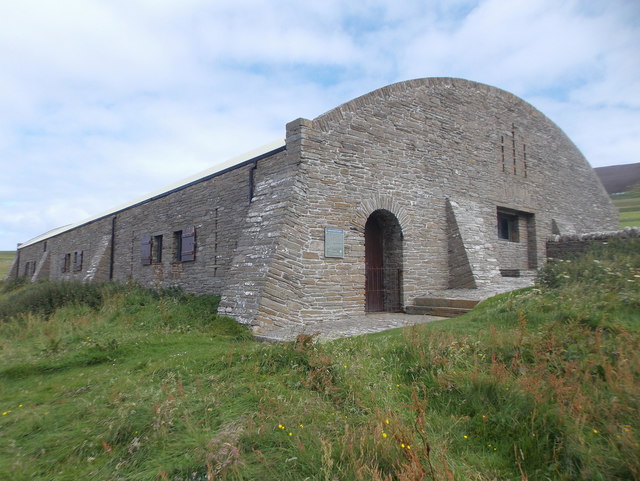
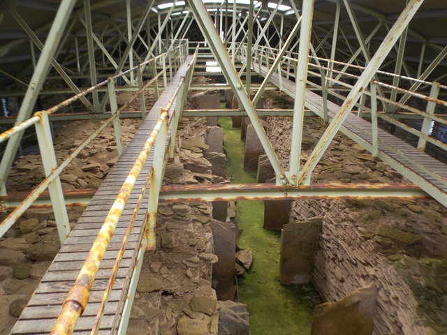
Midhowe Chambered Cairn
Midhowe Chambered Cairn is a large Neolithic chambered cairn located on the south shore of the island of Rousay, Orkney, Scotland. The name "Midhowe" comes...

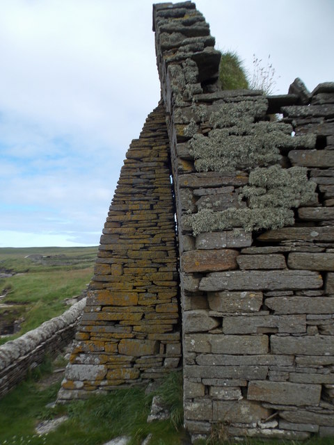
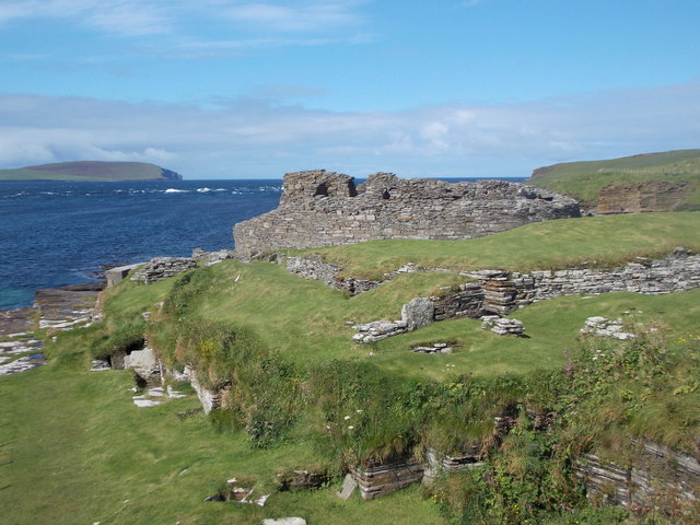
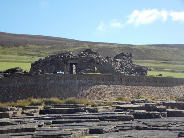
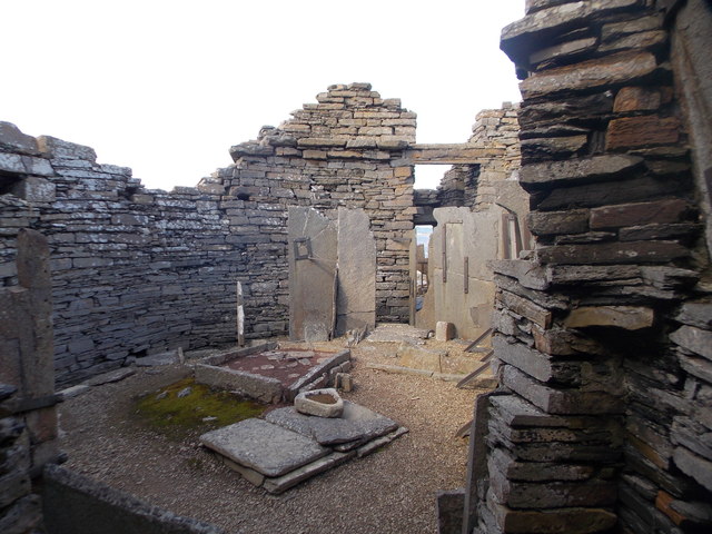
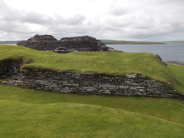
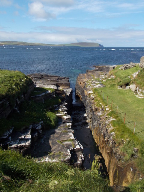
Midhowe Broch
Midhowe Broch () is an Iron Age broch located on the west coast of the island of Rousay in the Orkney Islands, in Scotland. == Description == Midhowe...
Nearby Amenities
Located within 500m of 59.149965,-3.0800918Have you been to Valley of Uraday?
Leave your review of Valley of Uraday below (or comments, questions and feedback).