Lang Hope

Valley in Roxburghshire

Scotland

Lang Hope

Comb Hill A radio mast is at the 513m summit of Comb Hill. This was viewed from Dod Hill on the east side of the A7. Wisp Hill is to the left. For a closer view of the radio mast, see <a href="https://www.geograph.org.uk/photo/37593">NT3900 : Comb Hill</a>.
Comb Hill Credit: Walter Baxter

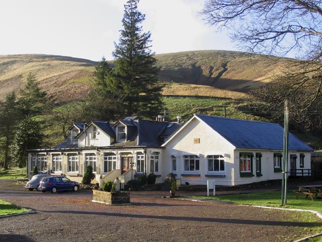
Lang Hope is a picturesque valley located in the region of Roxburghshire in the Scottish Borders, United Kingdom. Situated near the village of Hawick, Lang Hope is known for its stunning natural beauty and tranquil atmosphere.

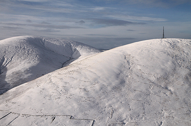
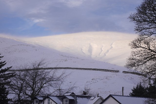
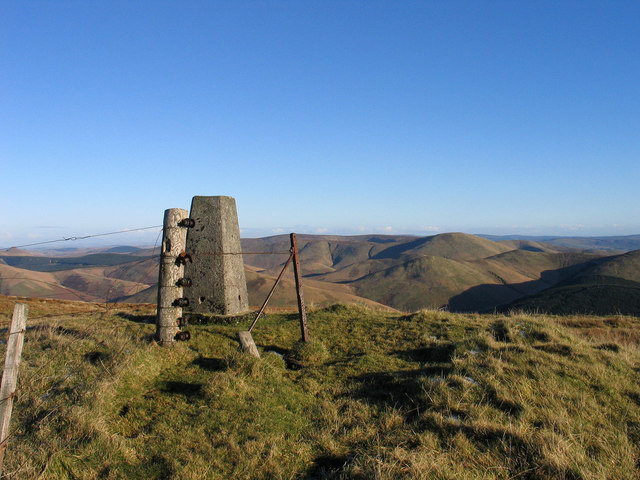
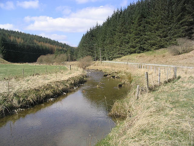
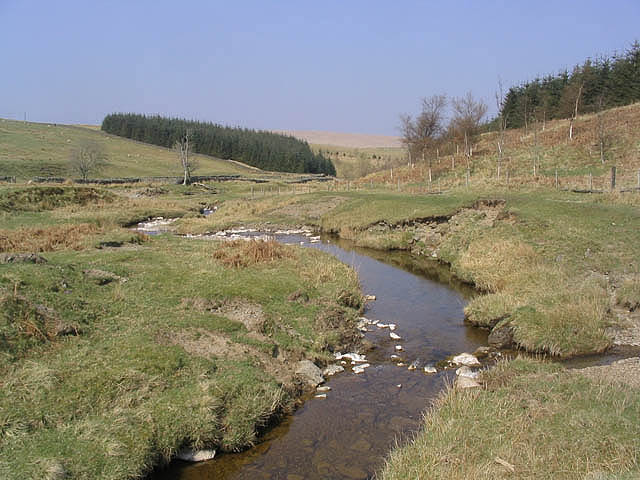
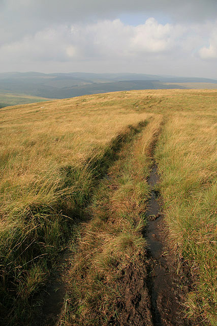
The valley is surrounded by rolling hills and lush greenery, making it an ideal destination for nature lovers and outdoor enthusiasts. The area is home to a diverse range of flora and fauna, including native Scottish wildlife such as deer, foxes, and various bird species.

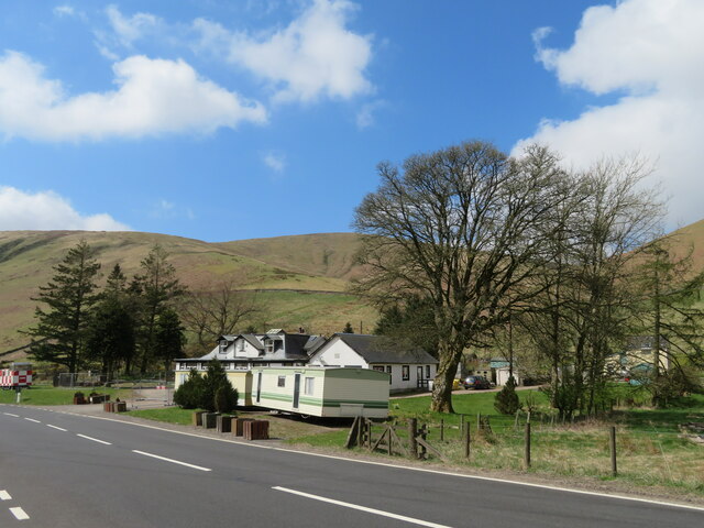
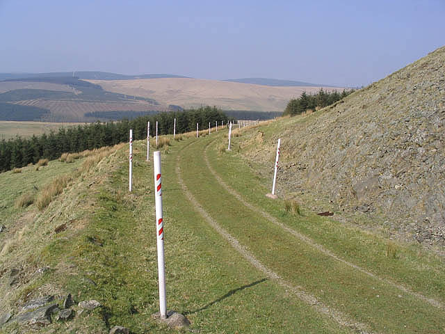
Lang Hope is characterized by its narrow, winding road that meanders through the valley, offering breathtaking views of the surrounding landscape. The road is often frequented by cyclists and hikers, who are drawn to the area for its scenic routes and peaceful ambiance.

In addition to its natural beauty, Lang Hope also boasts a rich history. The valley was once home to several traditional Scottish crofts, which were small agricultural units. Today, remnants of these crofts can still be seen, adding to the charm and character of the area.

Visitors to Lang Hope can explore the valley by foot or by bike, taking in the stunning scenery and enjoying the tranquility of the surroundings. The area also offers opportunities for fishing in nearby rivers and streams, as well as picnicking and camping in designated areas.

Overall, Lang Hope is a hidden gem in Roxburghshire, offering visitors a chance to escape the hustle and bustle of everyday life and immerse themselves in the serenity of the Scottish countryside.

If you have any feedback on the listing, please let us know in the comments section below.
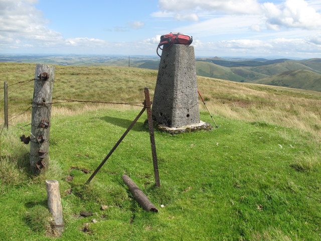
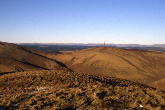
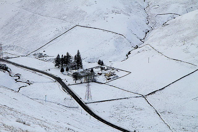
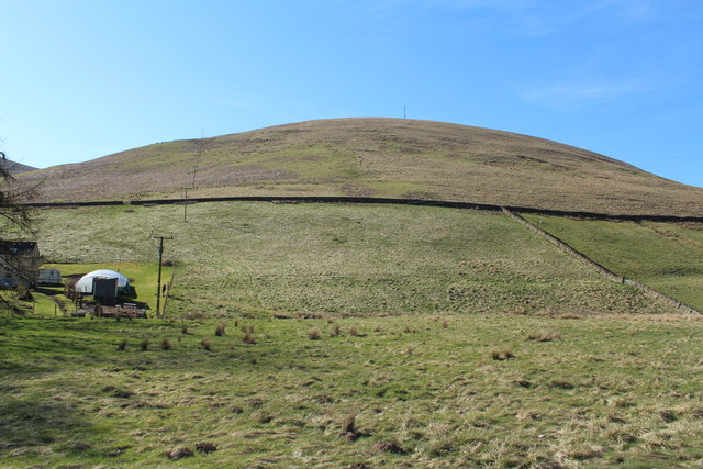
Lang Hope Images

Images are sourced within 2km of 55.294404/-2.9731665 or Grid Reference NT3800. Thanks to Geograph Open Source API. All images are credited.

Comb Hill A radio mast is at the 513m summit of Comb Hill. This was viewed from Dod Hill on the east side of the A7. Wisp Hill is to the left. For a closer view of the radio mast, see <a href="https://www.geograph.org.uk/photo/37593">NT3900 : Comb Hill</a>.
Comb Hill
A radio mast is at the 513m summit of Comb Hill. This was viewed from Dod Hill on the east side of the A7. Wisp Hill is to the left. For a closer view of the radio mast, see NT3900 : Comb Hill.
Wisp Hill Above Mosspaul with a lot of spindrift blowing about.
Wisp Hill
Above Mosspaul with a lot of spindrift blowing about.
Mosspaul on the A7 Labelled as a hotel on some scales of map, but fenced off and certainly not looking as if it is now a hotel. Some sources indicate that it is hostel or available to let. The hill in view is in Dumfries & Galloway.
Mosspaul on the A7
Labelled as a hotel on some scales of map, but fenced off and certainly not looking as if it is now a hotel. Some sources indicate that it is hostel or available to let. The hill in view is in Dumfries & Galloway.
Summit of Wisp Hill The summit of Wisp Hill has a cairn (an antiquity), parts of two fences, and a trig point. Cauldcleugh Head is among the many distant hills which lie generally to the east.
Summit of Wisp Hill
The summit of Wisp Hill has a cairn (an antiquity), parts of two fences, and a trig point. Cauldcleugh Head is among the many distant hills which lie generally to the east.
Wisp Hill Parked opposite Mosspaul Hotel, easy up and down in 65 mins on dry clear morning.
Name: Wisp Hill
Hill number: 1915
Height: 595m / 1952ft
Area: 28B: The River Tweed to the English Border
Class: Ma,5D
Grid ref: NY 38645 99346
Summit feature: fence corner 2m SW of trig point
Drop: 261m
Col: 334m  NT253071
Wisp Hill
Parked opposite Mosspaul Hotel, easy up and down in 65 mins on dry clear morning. Name: Wisp Hill Hill number: 1915 Height: 595m / 1952ft Area: 28B: The River Tweed to the English Border Class: Ma,5D Grid ref: NY 38645 99346 Summit feature: fence corner 2m SW of trig point Drop: 261m Col: 334m NT253071
Comb Hill (with mast) as seen from Elison Fell
Mosspaul Inn For more information and a closer view of the inn, see <a href="https://www.geograph.org.uk/photo/295623">NY4099 : Mosspaul Inn</a>. This was viewed from Dod Hill on the east side of the A7. The inn was closed when this photo was taken.
Mosspaul Inn
For more information and a closer view of the inn, see NY4099 : Mosspaul Inn. This was viewed from Dod Hill on the east side of the A7. The inn was closed when this photo was taken.
Comb Hill
Comb Hill
Mosspaul Inn
Mosspaul Inn
The former Mosspaul Hotel Situated at the highest point on the A7 between Langholm and Hawick, it is now, apparently, a self-catering establishment for fairly large groups.
The former Mosspaul Hotel
Situated at the highest point on the A7 between Langholm and Hawick, it is now, apparently, a self-catering establishment for fairly large groups.
Mosspaul Until recently a hotel and bar, now it is a self catering establishment for outdoor groups.
Mosspaul
Until recently a hotel and bar, now it is a self catering establishment for outdoor groups.
Comb Hill This Radio Tower stands high on Comb Hill at 513metres above the A7 near Teviothead. The tower belongs to Vodafone.
Comb Hill
This Radio Tower stands high on Comb Hill at 513metres above the A7 near Teviothead. The tower belongs to Vodafone.
Mosspaul Inn This inn is situated by the A7, 12 miles South of Hawick and 10 miles North of Langholm, in the Border countryside of the Teviotdale Hills. The existing building dates from 1900 but the original coaching inn dates back to the 18th century and was visited in 1803 by the poet Wordsworth and his sister during their tour of Scotland.
For more information on Mosspaul Inn see:- <span class="nowrap"><a title="www.mosspaulinn.com" rel="nofollow ugc noopener" href="http://www.mosspaulinn.com">Link</a><img style="margin-left:2px;" alt="External link" title="External link - shift click to open in new window" src="https://s1.geograph.org.uk/img/external.png" width="10" height="10"/></span>
Mosspaul Inn
This inn is situated by the A7, 12 miles South of Hawick and 10 miles North of Langholm, in the Border countryside of the Teviotdale Hills. The existing building dates from 1900 but the original coaching inn dates back to the 18th century and was visited in 1803 by the poet Wordsworth and his sister during their tour of Scotland. For more information on Mosspaul Inn see:- LinkExternal link
A country road A narrow road with passing places that runs from Merrylaw at the edge of Craik Forest to Teviothead by the A7.
A country road
A narrow road with passing places that runs from Merrylaw at the edge of Craik Forest to Teviothead by the A7.
The River Teviot To the east of Merrylaw at the edge of Craik Forest.
The River Teviot
To the east of Merrylaw at the edge of Craik Forest.
Wrangway Burn
Wrangway Burn
Access track on Langhope Height Provides access to the communication mast on Comb Hill and lined both sides with white plastic poles with red markings, set into concrete.
Access track on Langhope Height
Provides access to the communication mast on Comb Hill and lined both sides with white plastic poles with red markings, set into concrete.
Rough grazing track A track running through rough grazing terrain, home to some sheep, between Langhope Height and Short Hope.
Rough grazing track
A track running through rough grazing terrain, home to some sheep, between Langhope Height and Short Hope.
Show me another place!

Lang Hope is located at Grid Ref: NT3800 (Lat: 55.294404, Lng: -2.9731665)

Unitary Authority: The Scottish Borders

Police Authority: The Lothians and Scottish Borders

What 3 Words

///novelists.earphones.optimists. Near Teviothead, Scottish Borders

Nearby Locations

Lang Hope

Related Wikis

River Teviot

The River Teviot (; Scottish Gaelic: Abhainn Tìbhiot), or Teviot Water, is a river of the Scottish Borders area of Scotland, and is the largest tributary...

Caerlanrig

Caerlanrig - also spelled 'Carlenrig' - (Gaelic: Cathair Lannraig) is a hamlet in the parish of Cavers, Borders, Scotland, lying on the River Teviot, 6...

Teviothead

Teviothead (Scottish Gaelic: Ceann Tìbhiot) is a small village and civil parish in Teviotdale in the Scottish Borders, known locally as Teviotheid. It...

Falnash

Falnash (Scots: Fawenesh) is a village in the Scottish Borders of Scotland. It is near Teviothead, in the former Roxburghshire, and in the parish of Teviothead...

Nearby Amenities

Located within 500m of 55.294404,-2.9731665
The data included in this document is from www.openstreetmap.org. The data is made available under ODbL.

Have you been to Lang Hope?

Leave your review of Lang Hope below (or comments, questions and feedback).