Nant Dingle

Valley in Denbighshire

Wales

Nant Dingle

Cattle grazing in a field by the River Dee With a distant view of the Welsh hills.
Cattle grazing in a field by the River Dee Credit: John H Darch

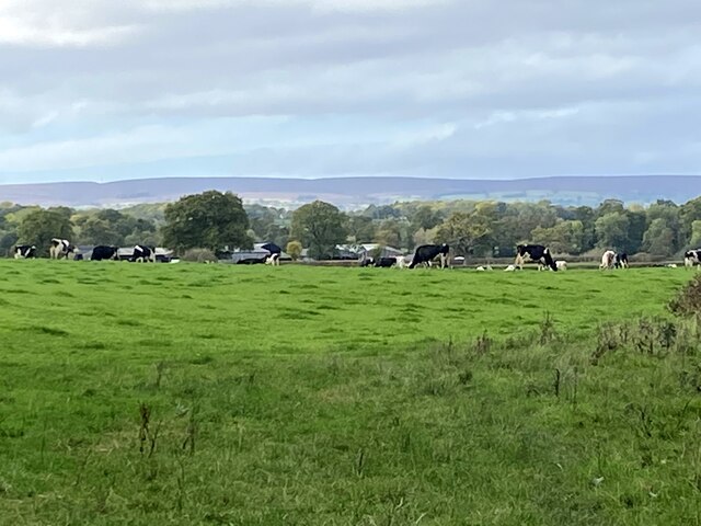
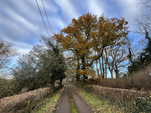
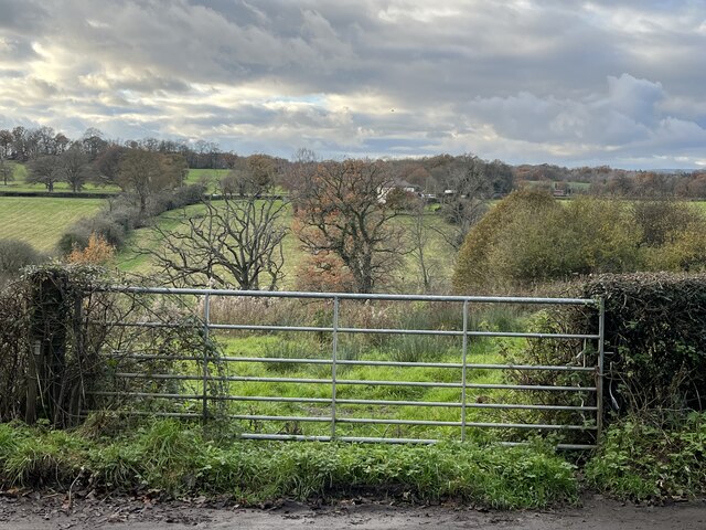
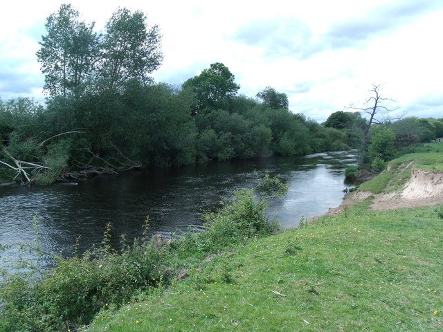
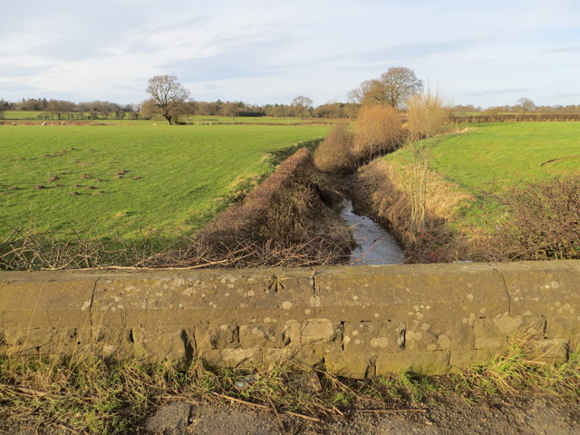
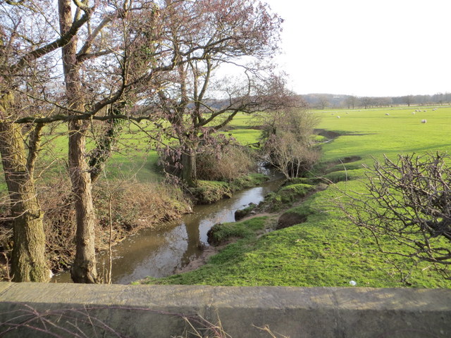
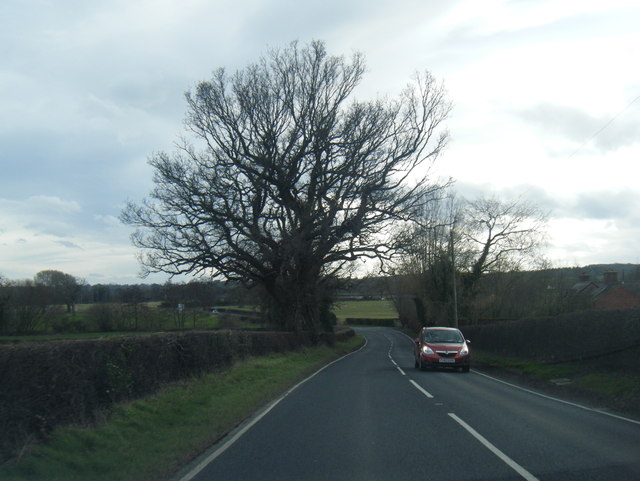
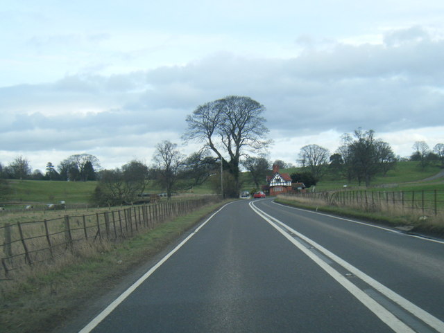
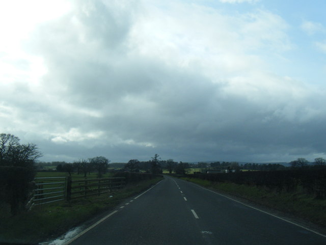
Nant Dingle is a picturesque valley located in Denbighshire, Wales. The valley is characterized by rolling hills, dense woodlands, and a meandering river that flows through the landscape. Nant Dingle is a popular destination for outdoor enthusiasts, offering a variety of hiking trails and scenic viewpoints.

The valley is home to a diverse range of flora and fauna, including rare bird species and wildflowers. Visitors to Nant Dingle can enjoy birdwatching, nature walks, and picnicking in the tranquil surroundings.

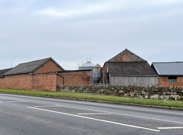
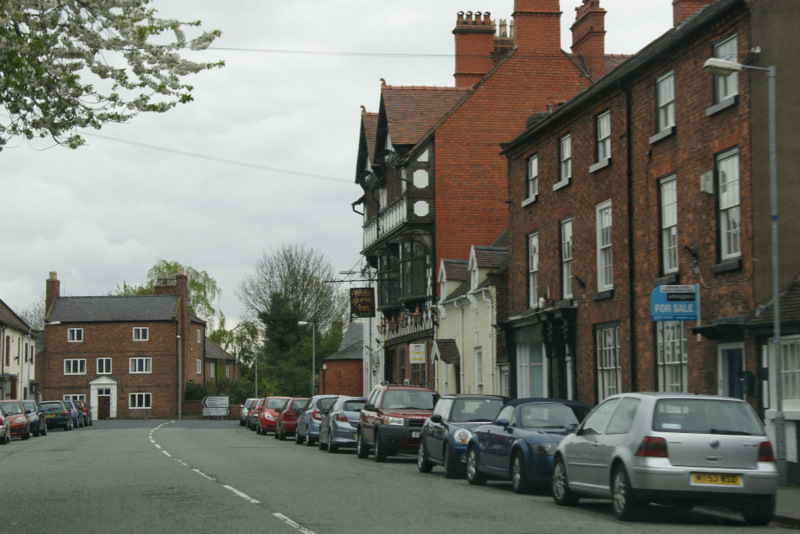
The traditional stone cottages and farmhouses that dot the valley add to its charm and provide a glimpse into the area's rural heritage. The valley is also known for its historic landmarks, including ancient ruins and stone circles that date back centuries.

Nant Dingle is a peaceful and idyllic spot for those looking to escape the hustle and bustle of city life and immerse themselves in the beauty of the Welsh countryside. Whether you're a nature lover, history buff, or simply seeking a peaceful retreat, Nant Dingle offers something for everyone to enjoy.

If you have any feedback on the listing, please let us know in the comments section below.
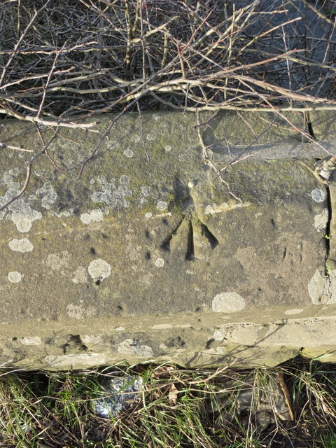
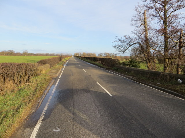
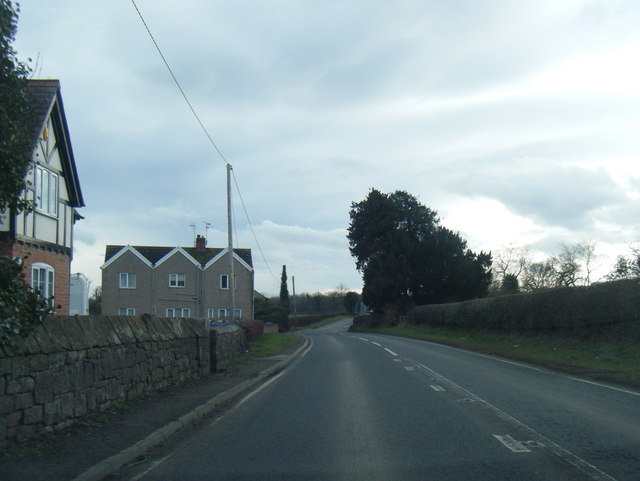
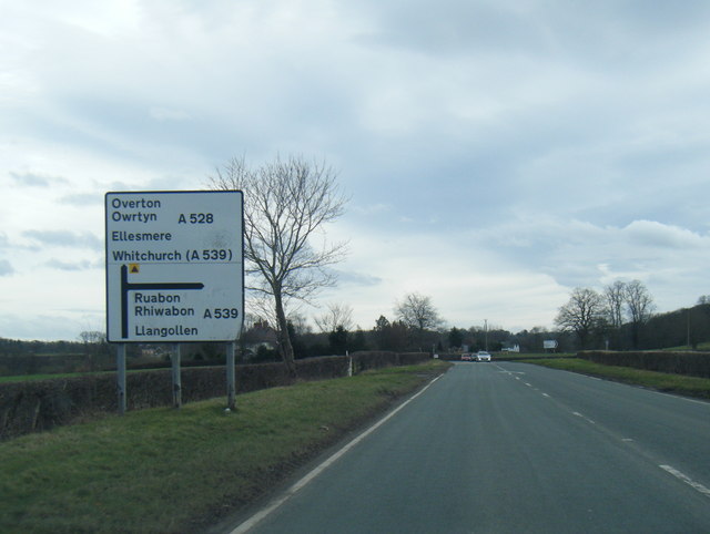
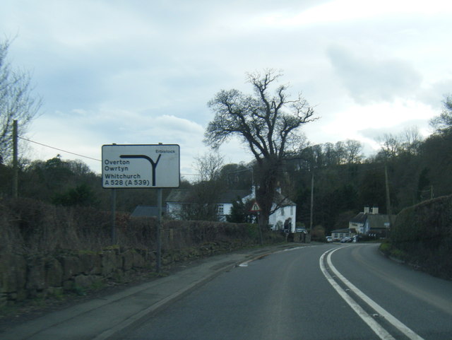
Nant Dingle Images

Images are sourced within 2km of 52.986719/-2.9622856 or Grid Reference SJ3543. Thanks to Geograph Open Source API. All images are credited.

Cattle grazing in a field by the River Dee With a distant view of the Welsh hills.
Cattle grazing in a field by the River Dee
With a distant view of the Welsh hills.
Dead-end road above the River Dee
Gate with a view Though the River Dee, in the valley, is hidden from view.
Gate with a view
Though the River Dee, in the valley, is hidden from view.
Farm buildings at Eyton House
River Dee towards Overton
Bench mark on Overton Bridge This bench mark is at the centre of the south west parapet of Overton Bridge. See also <a href="https://www.geograph.org.uk/photo/3455567">SJ3542 : Overton Bridge and a bench mark</a>
Bench mark on Overton Bridge
This bench mark is at the centre of the south west parapet of Overton Bridge. See also SJ3542 : Overton Bridge and a bench mark
Overton Bridge and a bench mark Looking along the south west parapet of Overton Bridge with a bench mark on the right. For a close up see <a href="https://www.geograph.org.uk/photo/3455562">SJ3542 : Bench mark on Overton Bridge</a>
Overton Bridge and a bench mark
Looking along the south west parapet of Overton Bridge with a bench mark on the right. For a close up see SJ3542 : Bench mark on Overton Bridge
Rivet bench mark on Whitehouse Bridge This rivet bench mark is on the north parapet of Whitehouse Bridge on the B5426 between Eyton and Bangor on Dee. The mark is recorded on the 1872 O.S. map. See also: <a href="https://www.geograph.org.uk/photo/3849568">SJ3645 : North of Whitehouse Bridge</a>
Rivet bench mark on Whitehouse Bridge
This rivet bench mark is on the north parapet of Whitehouse Bridge on the B5426 between Eyton and Bangor on Dee. The mark is recorded on the 1872 O.S. map. See also: SJ3645 : North of Whitehouse Bridge
North of Whitehouse Bridge Looking north from Whitehouse Bridge on the B5426.  The farmland here seems to be in good condition, whilst further east the farmland around Bangor on Dee is badly flooded after recent storms and heavy rain. There is an Ordnance Survey rivet bench mark on top of the parapet - <a href="https://www.geograph.org.uk/photo/3849544">SJ3645 : Rivet bench mark on Whitehouse Bridge</a>
North of Whitehouse Bridge
Looking north from Whitehouse Bridge on the B5426. The farmland here seems to be in good condition, whilst further east the farmland around Bangor on Dee is badly flooded after recent storms and heavy rain. There is an Ordnance Survey rivet bench mark on top of the parapet - SJ3645 : Rivet bench mark on Whitehouse Bridge
South of Whitehouse Bridge Looking south from Whitehouse Bridge on the B5426 between Eyton and Bangor on Dee. Although this land appears to be in good condition, a short distance east the lower lying land around Bangor on Dee is badly flooded.
South of Whitehouse Bridge
Looking south from Whitehouse Bridge on the B5426 between Eyton and Bangor on Dee. Although this land appears to be in good condition, a short distance east the lower lying land around Bangor on Dee is badly flooded.
The B5426 across Whitehouse Bridge Looking east along the B5426, and across Whitehouse Bridge, towards Bangor on Dee.
The B5426 across Whitehouse Bridge
Looking east along the B5426, and across Whitehouse Bridge, towards Bangor on Dee.
Overton Road south of Cock Bank
A528 near Manor Farm
A528 nearing the A539 junction
A528 at Overton Bridge
A528 nears Lower Lodge
B5426 near Whitehouse Bridge
Show me another place!

Nant Dingle is located at Grid Ref: SJ3543 (Lat: 52.986719, Lng: -2.9622856)

Unitary Authority: Wrexham

Police Authority: North Wales

What 3 Words

///downward.treatment.bumpy. Near Overton, Wrexham

Related Wikis

Erbistock

Erbistock (Welsh: Erbistog) is a village and community in Wrexham County Borough, Wales. The village lies on the banks of the River Dee. The community...

Bangor-on-Dee racecourse

Bangor-on-Dee Racecourse (Welsh: Cae Rasio Bangor-is-y-coed) is a thoroughbred horse racing venue located in Bangor-on-Dee near Wrexham, Wales, United...

Overton-on-Dee

Overton (Welsh: Owrtyn) or Overton-on-Dee is a village and community in Wrexham County Borough, Wales. It is situated close to the Welsh-English border...

Wrexham Maelor

Wrexham Maelor (Welsh: Wrecsam Maelor) was a local government district with borough status, being one of six districts in the county of Clwyd, north-east...

Nearby Amenities

Located within 500m of 52.986719,-2.9622856
Source: npe
Lat/Long: 52.9842501/-2.9593398
Source: npe
Lat/Long: 52.9864401/-2.9590921
Source: npe
Lat/Long: 52.98949/-2.9569653
The data included in this document is from www.openstreetmap.org. The data is made available under ODbL.

Have you been to Nant Dingle?

Leave your review of Nant Dingle below (or comments, questions and feedback).