Bannerdale
Valley in Cumberland Eden
England
Bannerdale

Bannerdale is a small rural community located in the picturesque county of Cumberland in the Cumberland Valley region of England. Situated amidst rolling hills and lush green fields, Bannerdale is known for its idyllic countryside and charming character.
The village is home to approximately 500 residents, creating a close-knit community where neighbors often know each other by name. The traditional stone-built houses that line the streets add to the area's rustic charm.
In terms of amenities, Bannerdale offers a range of services to cater to the needs of its residents. The village boasts a local grocery store, a post office, and a primary school, providing convenience and accessibility for daily essentials. Additionally, the village pub, The Bannerdale Arms, serves as a hub for social gatherings and offers a warm and welcoming atmosphere.
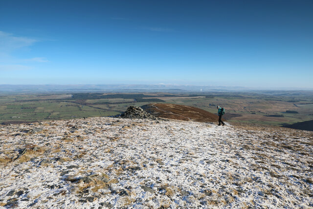
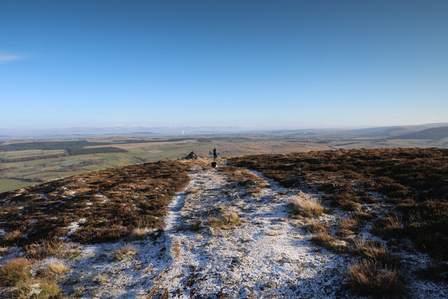
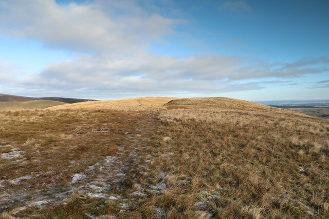
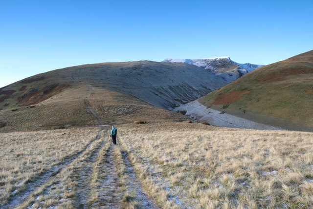
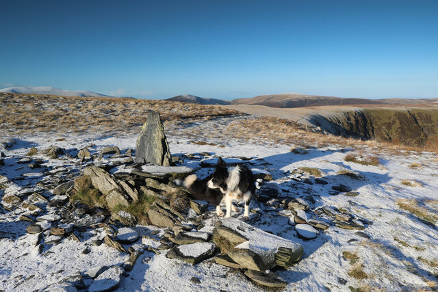
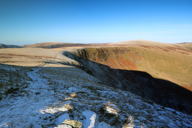
Nature lovers are drawn to Bannerdale due to its stunning surroundings. The nearby Bannerdale Crags provide breathtaking views of the valley, making it a popular spot for hiking and picnicking. The surrounding fields and woodlands also offer ample opportunities for outdoor activities, such as walking, cycling, and birdwatching.
Despite its rural setting, Bannerdale is well-connected to neighboring towns and cities. The A66 road runs close by, providing easy access to larger urban areas, while the nearest train station is just a short drive away.
Overall, Bannerdale is a peaceful and picturesque village, offering a tranquil escape from the hustle and bustle of city life. Its natural beauty, tight-knit community, and convenient amenities make it an attractive place to live for those seeking a slower pace of life in the heart of the Cumberland Valley.
If you have any feedback on the listing, please let us know in the comments section below.
Bannerdale Images
Images are sourced within 2km of 54.656435/-3.0199826 or Grid Reference NY3429. Thanks to Geograph Open Source API. All images are credited.


Bannerdale is located at Grid Ref: NY3429 (Lat: 54.656435, Lng: -3.0199826)
Administrative County: Cumbria
District: Eden
Police Authority: Cumbria
What 3 Words
///lookout.disprove.gardens. Near Keswick, Cumbria
Nearby Locations
Related Wikis

Bannerdale Crags
Bannerdale Crags is a fell in the English Lake District. It stands between Blencathra and Bowscale Fell in the Northern Fells. == Topography == Bannerdale...

Souther Fell
Souther Fell is a fell in the English Lake District. It stands to the south of Mungrisdale village in the Northern Fells. It is most famous for the appearance...

Bowscale Fell
Bowscale Fell is a hill in the English Lake District. It rises above the village of Mungrisdale in the Northern Fells. Bowscale Fell stands at the extreme...

Mungrisdale
Mungrisdale is a small village and civil parish in the north east of the English Lake District in Cumbria. It is also the name of the valley in which...

Bowscale
Bowscale is a hamlet and former civil parish, now in the parish of Mungrisdale, in the Eden district, in the county of Cumbria, England. In 1931 the parish...

Blencathra
Blencathra, also known as Saddleback, is one of the most northerly hills in the English Lake District. It has six separate fell tops, of which the highest...

Mosedale, Cumbria
Mosedale is a hamlet and former civil parish, now in the parish of Mungrisdale in the Eden district, in the county of Cumbria, in the north west of the...

Trout Beck (Glenderamackin)
Trout Beck is a 7.6 miles (12.3 km) long stream or beck in the English Lake District, Cumbria. It rises on the northwestern slopes of Great Dodd, with...
Nearby Amenities
Located within 500m of 54.656435,-3.0199826Have you been to Bannerdale?
Leave your review of Bannerdale below (or comments, questions and feedback).