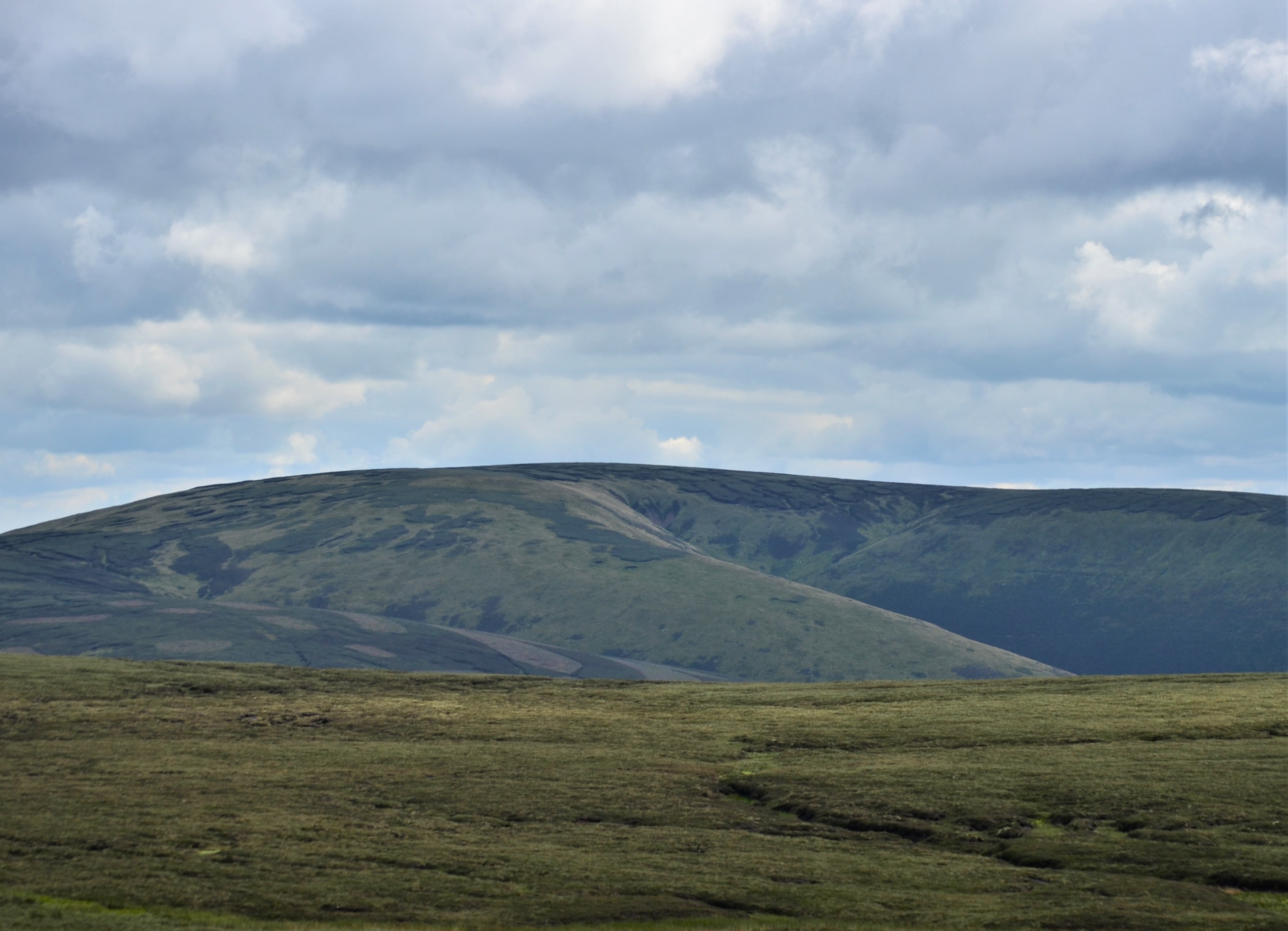
Craigie Cleuch

Valley in Peeblesshire

Scotland

Craigie Cleuch

Bowbeat Wind Farm from Kings Road Nick, Moorfoot Hills
Bowbeat Wind Farm from Kings Road Nick, Moorfoot Hills Credit: Colin Park

Craigie Cleuch is a picturesque valley located in Peeblesshire, a historic county in the Scottish Borders region of Scotland. Nestled between rolling hills and surrounded by lush greenery, this enchanting valley spans approximately 2 miles in length. It is situated near the quaint town of Peebles, which lies about 20 miles south of Edinburgh.

The valley is renowned for its natural beauty, attracting nature enthusiasts, hikers, and photographers alike. The landscape is characterized by a meandering river, the Craigie Burn, which gracefully winds its way through the valley floor. The river is flanked by dense woodlands, adding to the valley's charm and providing a habitat for various wildlife species.

Walking trails and footpaths crisscross the valley, allowing visitors to explore its breathtaking surroundings. These trails offer stunning views of the river, rolling hills, and the occasional glimpse of local wildlife. The valley is particularly popular during spring when vibrant wildflowers carpet the meadows, creating a vibrant tapestry of colors.

Craigie Cleuch is steeped in history, with remnants of ancient settlements and archaeological sites scattered throughout the area. These historical sites provide a glimpse into the valley's rich past and offer an intriguing opportunity for historical exploration.

Visitors to Craigie Cleuch can enjoy a peaceful and tranquil experience in this idyllic Scottish valley. Whether it's a leisurely stroll, a challenging hike, or simply immersing oneself in the beauty of nature, Craigie Cleuch offers a serene escape from the hustle and bustle of everyday life.

If you have any feedback on the listing, please let us know in the comments section below.

Craigie Cleuch Images

Images are sourced within 2km of 55.70523/-3.0845798 or Grid Reference NT3146. Thanks to Geograph Open Source API. All images are credited.

Bowbeat Wind Farm from Kings Road Nick, Moorfoot Hills
Felled area above Williamslee Burn A view down the hillside along the edge of a felled area - most of this valley has been planted and logging is taking place further up the glen.
Felled area above Williamslee Burn
A view down the hillside along the edge of a felled area - most of this valley has been planted and logging is taking place further up the glen.
Upgraded forest road, Williamslee Hope The road surface has been spread with crushed stone and compacted in preparation for logging work.
Upgraded forest road, Williamslee Hope
The road surface has been spread with crushed stone and compacted in preparation for logging work.
Fauld Cleuch Rig A section of clear felled forest on Fauld Cleuch Rig in Williamslee Hope.
Fauld Cleuch Rig
A section of clear felled forest on Fauld Cleuch Rig in Williamslee Hope.
Fauld Cleuch Contrasting sides of the forestry by the small burn in Fauld Cleuch.
Fauld Cleuch
Contrasting sides of the forestry by the small burn in Fauld Cleuch.
Forest road in Williamslee Hope The road climbs at a gentle gradient around the 450m contour on the W side of Williamslee Hope. The distinctive steep col (centre) is Leithen Door, Glentress Forest.
Forest road in Williamslee Hope
The road climbs at a gentle gradient around the 450m contour on the W side of Williamslee Hope. The distinctive steep col (centre) is Leithen Door, Glentress Forest.
Craigie Cleuch Several dry shaly gullies at the head of Craigie Cleuch, at the upper edge of the forestry plantation.
Craigie Cleuch
Several dry shaly gullies at the head of Craigie Cleuch, at the upper edge of the forestry plantation.
Gullies at Craigie Cleuch Several small gullies have formed where the edge of the peaty plateau S of Garvald Punks drops down to Williamslee Hope, a side valley of the Leithen Water. Seen from the track contouring just above the fringe of the forestry plantation.
Gullies at Craigie Cleuch
Several small gullies have formed where the edge of the peaty plateau S of Garvald Punks drops down to Williamslee Hope, a side valley of the Leithen Water. Seen from the track contouring just above the fringe of the forestry plantation.
Moorland and erosion gullies The expanse of almost flat peat moorland S of Blackhope Scar here meets the valley of Williamslee Hope, with several small gullies at the head of Craigie Cleuch.
Moorland and erosion gullies
The expanse of almost flat peat moorland S of Blackhope Scar here meets the valley of Williamslee Hope, with several small gullies at the head of Craigie Cleuch.
Thorter Cleuch The track skirting the forestry plantation in Wlliamslee Hope curves around the re-entrant of Thorter Cleuch.
Thorter Cleuch
The track skirting the forestry plantation in Wlliamslee Hope curves around the re-entrant of Thorter Cleuch.
North Grain North Grain drains the peat moorland of Garvald Punks and flows down through the forestry plantations to join the Williamslee Burn, a tributary of the Leithen Water.
North Grain
North Grain drains the peat moorland of Garvald Punks and flows down through the forestry plantations to join the Williamslee Burn, a tributary of the Leithen Water.
End of the track, Williamslee Hope The end of the track that contours above the edge of the forest, just E of North Grain.
End of the track, Williamslee Hope
The end of the track that contours above the edge of the forest, just E of North Grain.
Fauld Cleuch Rig forestry Forest road and clear felled area seen from the ridge between North Grain and South Grain.
Fauld Cleuch Rig forestry
Forest road and clear felled area seen from the ridge between North Grain and South Grain.
Sheepfold within the forest, Williamslee Hope A sheepfold near the foot of the ridge between North Grain and South Grain at the head of Williamslee Burn.
Sheepfold within the forest, Williamslee Hope
A sheepfold near the foot of the ridge between North Grain and South Grain at the head of Williamslee Burn.
Track by Williamslee Burn The Williamslee Burn is formed by the union of North Grain and South Grain, streams that drain the peat moorland south of Blackhope Scar.
Track by Williamslee Burn
The Williamslee Burn is formed by the union of North Grain and South Grain, streams that drain the peat moorland south of Blackhope Scar.
Track junction with forest road, Williamslee Hope The road follows the burn down to the valley of the Leithen Water.
Track junction with forest road, Williamslee Hope
The road follows the burn down to the valley of the Leithen Water.
Forest road and timber stacks Logging has been in progress by the Williamslee Burn.
Forest road and timber stacks
Logging has been in progress by the Williamslee Burn.
Bridge, Williamslee Burn The forest road leads out to the Leithen Water. <a href="https://www.geograph.org.uk/photo/260918">NT3245 : Forest roads and bridge, Williamslee burn</a> shows the bridge from the N side.
Bridge, Williamslee Burn
The forest road leads out to the Leithen Water. NT3245 : Forest roads and bridge, Williamslee burn shows the bridge from the N side.
Show me another place!

Craigie Cleuch is located at Grid Ref: NT3146 (Lat: 55.70523, Lng: -3.0845798)

Unitary Authority: The Scottish Borders

Police Authority: The Lothians and Scottish Borders

What 3 Words

///sugars.gown.handlebar. Near Peebles, Scottish Borders

Nearby Locations

Craigie Cleuch

Related Wikis

Blackhope Scar

Blackhope Scar is a hill in the Moorfoot Hills range, part of the Southern Uplands of Scotland. It lies to the northeast of the town of Peebles and is...

Bowbeat Hill

Bowbeat Hill is a hill in the Moorfoot Hills range, part of the Southern Uplands of Scotland. It lends its name to Bowbeat Onshore Wind Farm built on the...

Moorfoot Hills

The Moorfoot Hills are a range of hills south of Edinburgh in east central Scotland, one of the ranges which collectively form the Southern Uplands....

Dewar, Scottish Borders

Dewar is a village by the Dewar Burn and Peatrig Hill, in the Scottish Borders area of Scotland. Places nearby include Allanshaugh, Borthwick Hall, Fountainhall...

Have you been to Craigie Cleuch?

Leave your review of Craigie Cleuch below (or comments, questions and feedback).