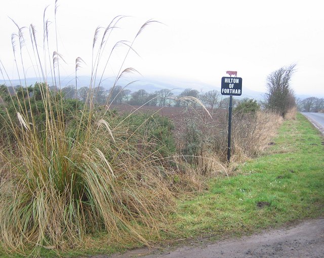
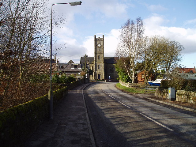
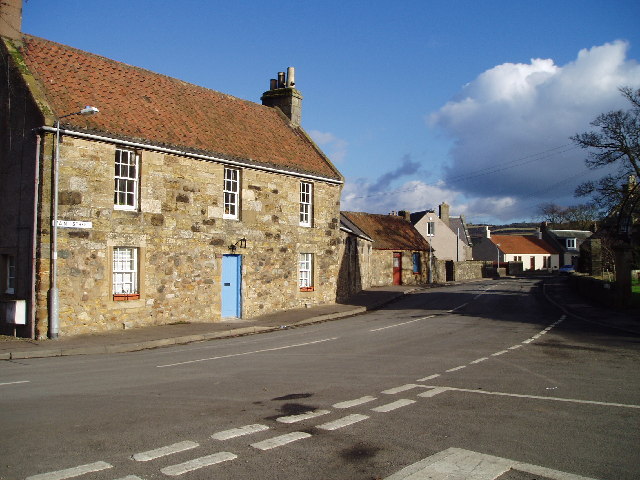
Coalpit Den

Valley in Fife

Scotland

Coalpit Den

Farmland by Greenside, Drummy Wood Looking across much of the square in a north direction towards Rameldry. Much of the square to the South of this position is old woodland.
Farmland by Greenside, Drummy Wood Credit: Jim Bain

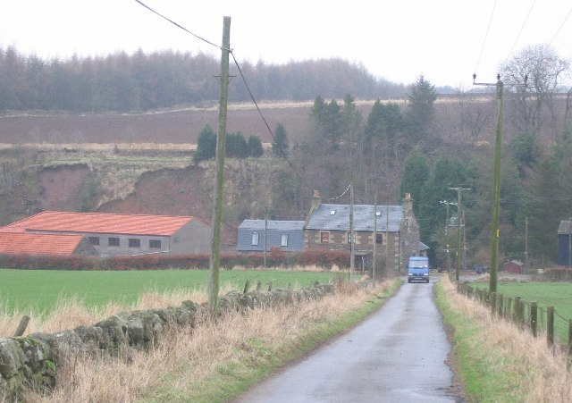
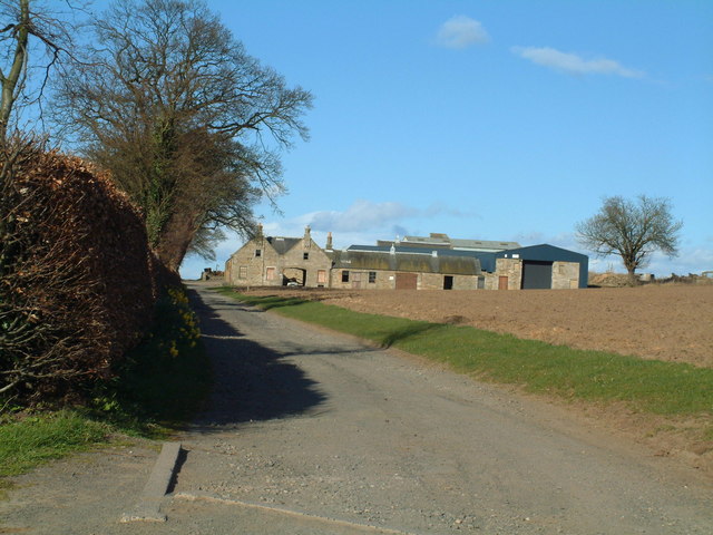
Coalpit Den is a picturesque valley located in the county of Fife, Scotland. Situated near the village of Kelty, it is a popular destination for nature enthusiasts and walkers. The den, or valley, is named after the coal mining activities that took place in the area during the 19th and early 20th centuries.

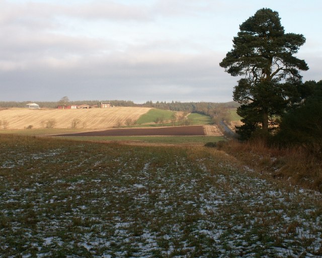
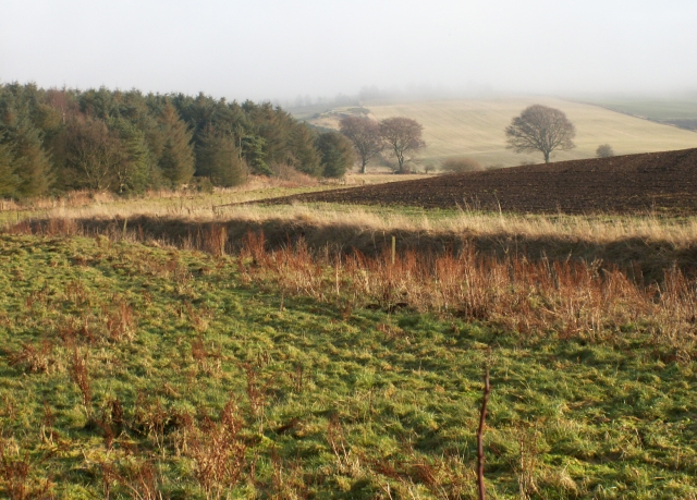
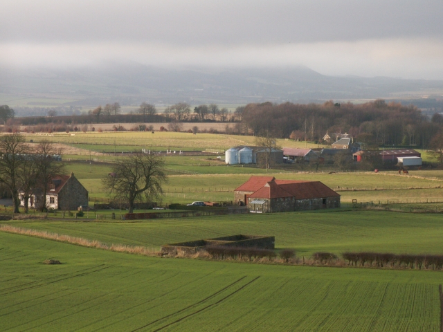
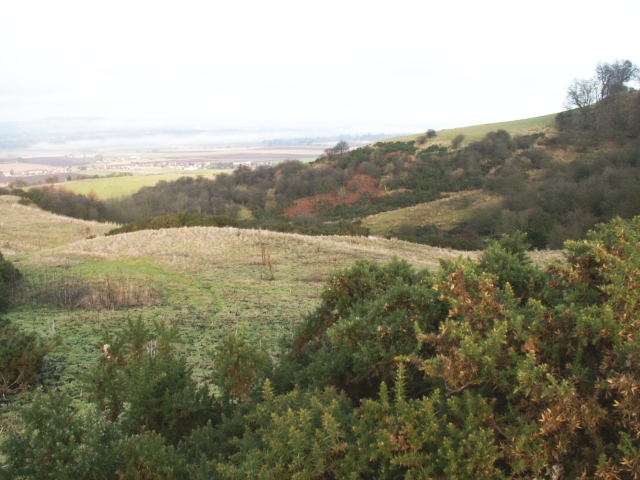
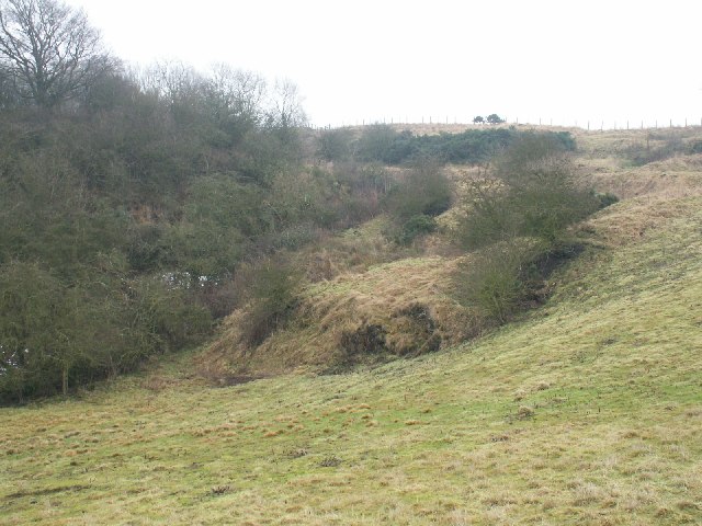
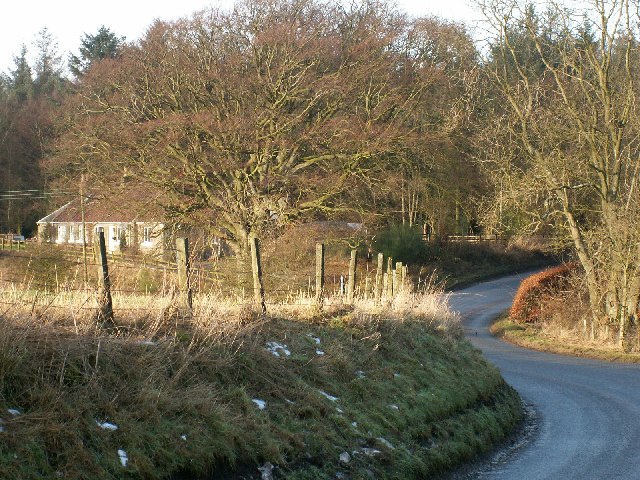
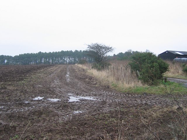
The landscape of Coalpit Den is characterized by its steep slopes, lush vegetation, and meandering streams. The den is surrounded by dense woodland, providing a serene and peaceful atmosphere. Visitors can explore the numerous walking trails that wind through the valley, offering stunning views of the surrounding countryside.

One of the highlights of Coalpit Den is the presence of several waterfalls. The cascading water creates a mesmerizing sight and adds to the natural beauty of the area. The den also features a small pond, which is home to various species of aquatic plants and wildlife.

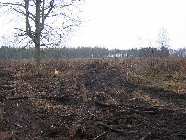
The rich industrial history of Coalpit Den is evident through the remnants of old mine workings and structures that are scattered throughout the valley. These serve as a reminder of the coal mining heritage of the area and provide an interesting insight into the past.

Coalpit Den is a haven for wildlife, with a diverse range of species calling it home. Birdwatchers can spot various species of birds, including woodpeckers and kingfishers. The den is also home to mammals such as foxes, rabbits, and bats.

Overall, Coalpit Den offers a tranquil and scenic escape for nature lovers, history enthusiasts, and those seeking a peaceful retreat in the heart of Fife.

If you have any feedback on the listing, please let us know in the comments section below.
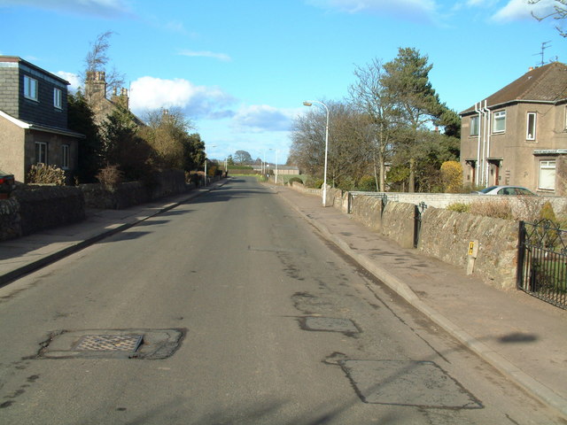
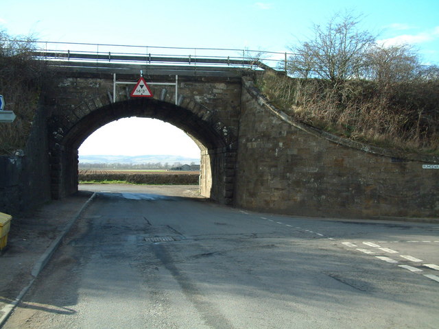
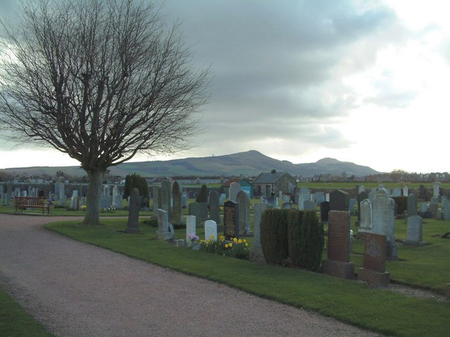
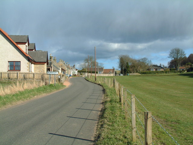
Coalpit Den Images

Images are sourced within 2km of 56.250671/-3.1002143 or Grid Reference NO3107. Thanks to Geograph Open Source API. All images are credited.

Farmland by Greenside, Drummy Wood Looking across much of the square in a north direction towards Rameldry. Much of the square to the South of this position is old woodland.
Farmland by Greenside, Drummy Wood
Looking across much of the square in a north direction towards Rameldry. Much of the square to the South of this position is old woodland.
By Rameldry Rough grazing, burn, ploughed field and woodland all by Rameldry. Looking East towards the mist covered slopes of Clatto Hill 248mts
By Rameldry
Rough grazing, burn, ploughed field and woodland all by Rameldry. Looking East towards the mist covered slopes of Clatto Hill 248mts
Kettlehill Farm Looking out SW across the square. The mist covered Lomonds in the background.
Kettlehill Farm
Looking out SW across the square. The mist covered Lomonds in the background.
Burnside by Burnturk A steep hillside cut by this small burn. Looking North towards Pitlessie.
Burnside by Burnturk
A steep hillside cut by this small burn. Looking North towards Pitlessie.
Old workings by a burn High up on the burnside these old workings of some sort are grown over. An old road line can be seen above.
Old workings by a burn
High up on the burnside these old workings of some sort are grown over. An old road line can be seen above.
By Middlefield Midway between Rameldry Farm and Middlefield cross roads
By Middlefield
Midway between Rameldry Farm and Middlefield cross roads
Road in Drummy Wood. Looking north along a country land in Drummy  and Milldeans Wood.
Road in Drummy Wood.
Looking north along a country land in Drummy and Milldeans Wood.
Clearfell , Dykehead Wood. Part of the Drummy Wood forest block, now almost completely felled.
A view from 2009 can be seen here: <a href="https://www.geograph.org.uk/photo/1439915">NO3105 : Dykehead Wood</a>
Clearfell , Dykehead Wood.
Part of the Drummy Wood forest block, now almost completely felled. A view from 2009 can be seen here: NO3105 : Dykehead Wood
Rameldry Mill View NE along a minor road. Note the landslips on the bank.
Rameldry Mill
View NE along a minor road. Note the landslips on the bank.
Hilton of Forthar, road end. End of the road up to Hilton of Forthar.  View W towards the cloud covered Lomond Hills.
Hilton of Forthar, road end.
End of the road up to Hilton of Forthar. View W towards the cloud covered Lomond Hills.
Hilton of Forthar Newly ploughed fields, looking north. Stables on the right,
Hilton of Forthar
Newly ploughed fields, looking north. Stables on the right,
Howe of Fife Parish Church, Kingskettle View west along main road towards the church which stands on the western edge of this grid square, The church was built in 1853 and is a very fine and attractive building which can be seen from afar and which lies within a very attractive small village.
Howe of Fife Parish Church, Kingskettle
View west along main road towards the church which stands on the western edge of this grid square, The church was built in 1853 and is a very fine and attractive building which can be seen from afar and which lies within a very attractive small village.
Kingskettle An attractive village in Fife locally known as Kettle which developed in an area which once belonged to the Crown and where an unrecorded battle or Cathel took place, this is how the name Kingskettle came about. The village developed in the 19th century with the opening of the turnpike road and with the development of mining and weaving.
Kingskettle
An attractive village in Fife locally known as Kettle which developed in an area which once belonged to the Crown and where an unrecorded battle or Cathel took place, this is how the name Kingskettle came about. The village developed in the 19th century with the opening of the turnpike road and with the development of mining and weaving.
Kettlebridge Main street (Rumdewan) in the village of Kettlebridge
Kettlebridge
Main street (Rumdewan) in the village of Kettlebridge
Kettlebridge railway bridge The main line between the Forth Rail Bridge and Tay Rail bridge also crosses this little bridge in Kettlebridge
Kettlebridge railway bridge
The main line between the Forth Rail Bridge and Tay Rail bridge also crosses this little bridge in Kettlebridge
Kingskettle Cemetery The Lomond Hills form the background skyline
Kingskettle Cemetery
The Lomond Hills form the background skyline
Coaltown of Burnturk There are many Fife villages known as 'Coaltown' of this or that. They were originally mining villages, but none of the pits or mines now remain active.
Coaltown of Burnturk
There are many Fife villages known as 'Coaltown' of this or that. They were originally mining villages, but none of the pits or mines now remain active.
Burnturk Farm From the corner of the farm road
Burnturk Farm
From the corner of the farm road
Show me another place!

Coalpit Den is located at Grid Ref: NO3107 (Lat: 56.250671, Lng: -3.1002143)

Unitary Authority: Fife

Police Authority: Fife

What 3 Words

///records.subtitle.ignoring. Near Kingskettle, Fife

Nearby Locations

Kettle Hill Coalpit Den

Related Wikis

Balmalcolm

Balmalcolm is a small village in the Kettle parish of Fife, Scotland. Encompassed by the low-lying Howe of Fife, the village is roughly 5+1⁄2 miles (9...

Kingskettle

Kingskettle or often simply Kettle is a village and parish in Fife, Scotland. Encompassed by the Howe of Fife, the village is approximately 5.5 miles...

Kingskettle railway station

Kingskettle railway station served the village of Kingskettle, Fife, Scotland, from 1847 to 1967 on the Edinburgh and Northern Railway. == History == The...

Ladybank railway station

Ladybank railway station serves the town of Ladybank in Fife, Scotland. == History == The station was opened in 1847 by the Edinburgh and Northern Railway...

A92 road

The A92 is a major road that runs through Fife, Dundee, Angus, Aberdeenshire, and Aberdeen City in Scotland. From south to north, it runs from Dunfermline...

Ladybank

Ladybank () is a village and former burgh of Fife, Scotland. It is about 62 kilometres (39 mi) north of Edinburgh, 8 kilometres (5.0 mi) southwest of Cupar...

Priestfield House

Priestfield House was a Victorian Country House near Cults, Fife, Scotland. == History == The estate, originally an outlying property of Crawford Priory...

Pitlessie

Pitlessie is a small village in Cults, Fife, Scotland. It is roughly 4+1⁄2 miles (7 km) southwest of the nearest large town, Cupar, and 23 miles (37 kilometres...

Nearby Amenities

Located within 500m of 56.250671,-3.1002143
Coalpitden
Place: locality
Lat/Long: 56.250775/-3.0995564
Generator Method: wind_turbine
Generator Source: wind
Power: generator
Lat/Long: 56.2507086/-3.1020256
Power: pole
Lat/Long: 56.2541926/-3.0970128
Power: pole
Lat/Long: 56.2545183/-3.0964025
Power: pole
Lat/Long: 56.252207/-3.1034483
Power: pole
Lat/Long: 56.2523492/-3.1044086
Power: pole
Lat/Long: 56.2524999/-3.1055177
Power: pole
Lat/Long: 56.2526092/-3.1066223
Power: pole
Lat/Long: 56.247485/-3.1057014
Power: pole
Lat/Long: 56.2474837/-3.1044764
Power: pole
Lat/Long: 56.2474728/-3.1032055
Power: pole
Lat/Long: 56.2473659/-3.1019521
Power: pole
Lat/Long: 56.2472504/-3.1006987
Power: pole
Lat/Long: 56.2471374/-3.0994474
Power: pole
Lat/Long: 56.2470219/-3.0982006
Power: pole
Lat/Long: 56.2469162/-3.096969
The data included in this document is from www.openstreetmap.org. The data is made available under ODbL.

Have you been to Coalpit Den?

Leave your review of Coalpit Den below (or comments, questions and feedback).