Aikendean Glen
Valley in Midlothian
Scotland
Aikendean Glen
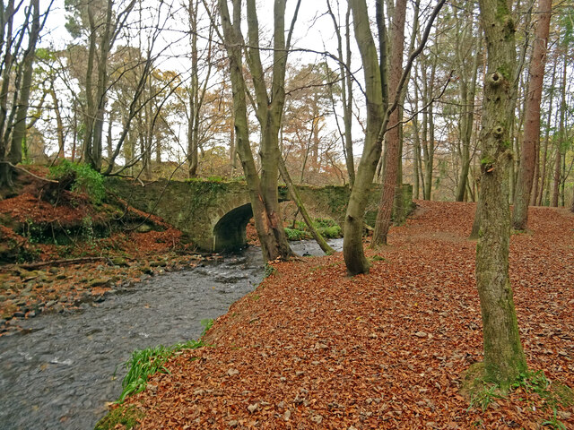
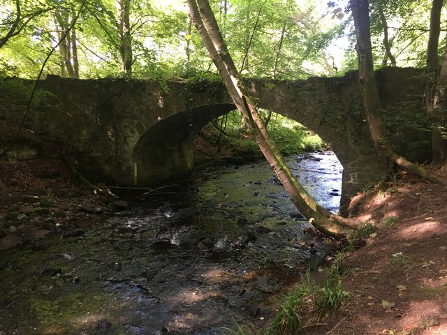
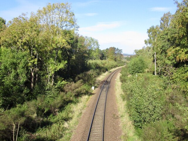
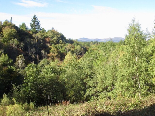
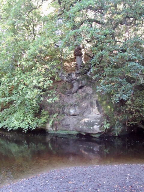
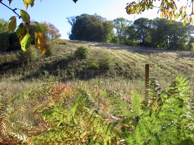
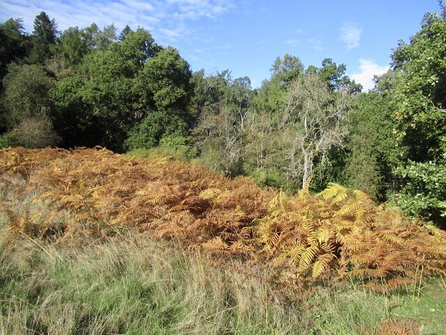
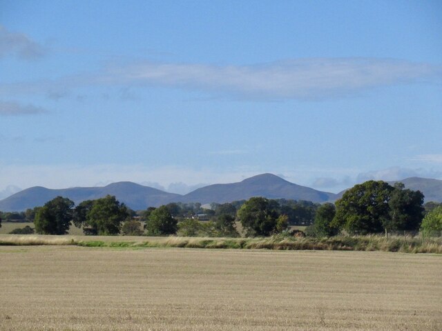
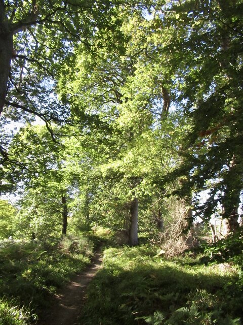
Aikendean Glen is a picturesque valley located in Midlothian, Scotland. Nestled amidst rolling hills and lush greenery, it is a haven of natural beauty and tranquility. The glen is located approximately 12 miles south of Edinburgh, making it easily accessible for both locals and tourists.
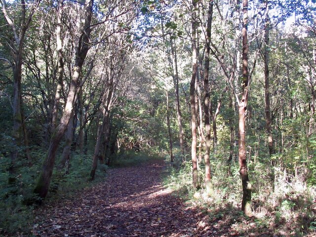
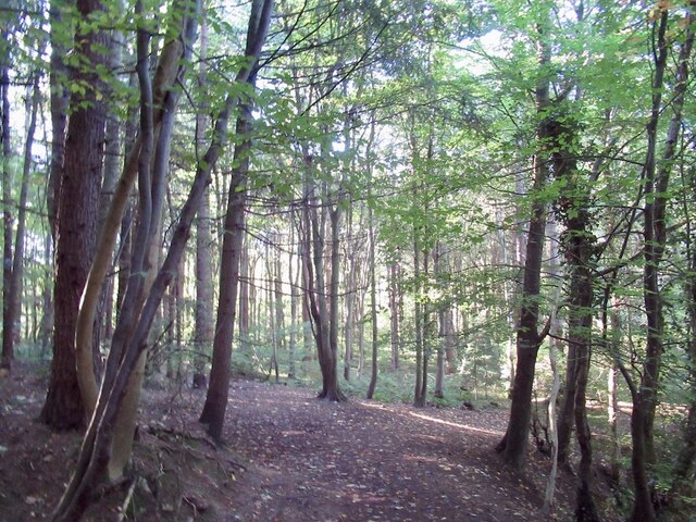
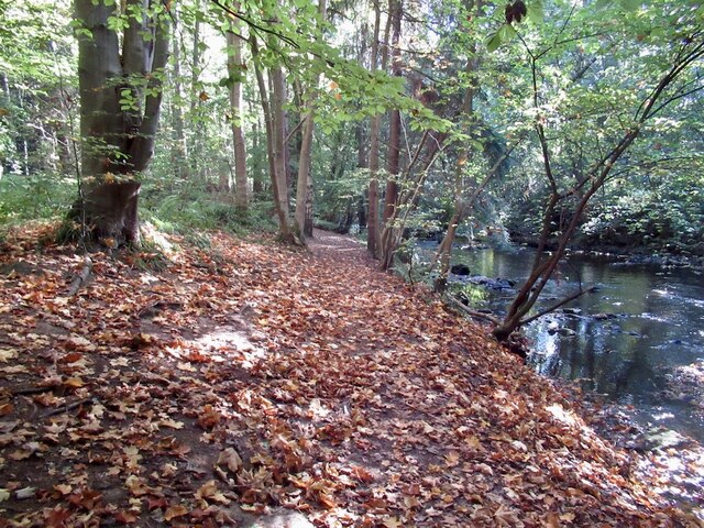
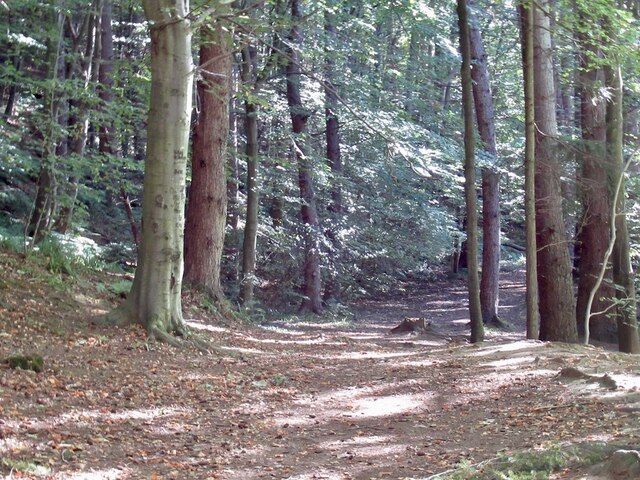
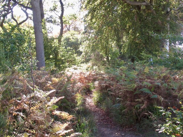
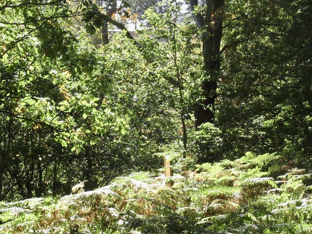
The valley is renowned for its rich biodiversity and stunning landscapes. It is home to a diverse range of flora and fauna, including native Scottish wildlife such as red deer, foxes, and various bird species. The glen boasts a network of walking trails that allow visitors to explore its natural wonders, offering breathtaking views of the surrounding countryside.
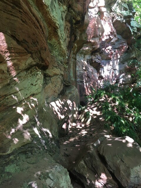
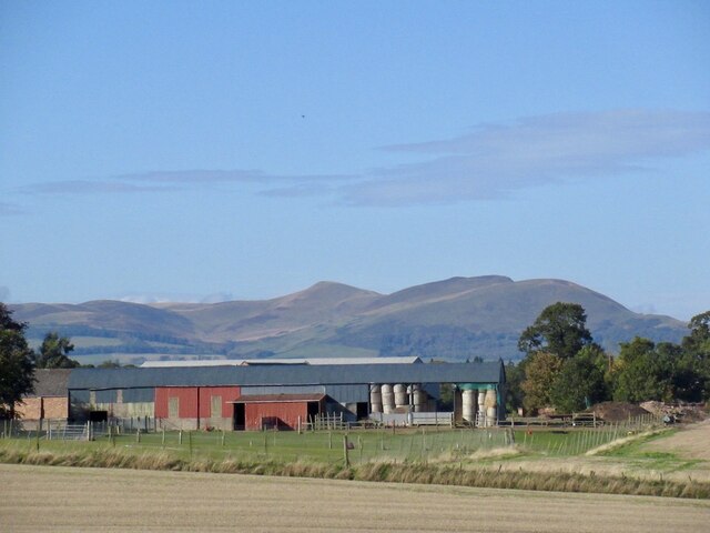
Aikendean Glen is also steeped in history, with archaeological evidence suggesting human habitation dating back to the prehistoric era. Ruins of ancient settlements and burial sites dot the landscape, providing a glimpse into the lives of the early inhabitants. The glen has witnessed centuries of human activity, including farming and quarrying, which have left their mark on the land.
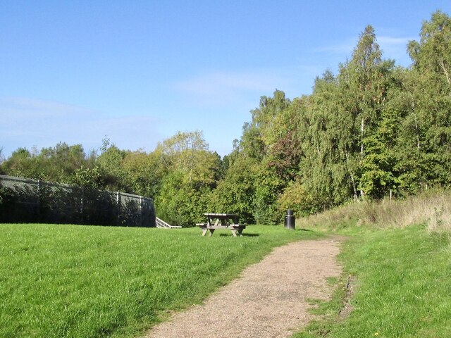
For nature enthusiasts and outdoor lovers, Aikendean Glen offers a range of recreational activities. Visitors can enjoy hiking, birdwatching, and photography, immersing themselves in the beauty of the Scottish countryside. The glen is a popular destination for family outings, picnics, and peaceful walks, providing a serene escape from the hustle and bustle of city life.
In conclusion, Aikendean Glen is a stunning valley in Midlothian, Scotland, offering a unique blend of natural beauty and historical significance. It is a must-visit destination for those seeking a peaceful retreat and an opportunity to connect with nature.
If you have any feedback on the listing, please let us know in the comments section below.
Aikendean Glen Images
Images are sourced within 2km of 55.846244/-3.0903089 or Grid Reference NT3161. Thanks to Geograph Open Source API. All images are credited.
Aikendean Glen is located at Grid Ref: NT3161 (Lat: 55.846244, Lng: -3.0903089)
Unitary Authority: Midlothian
Police Authority: The Lothians and Scottish Borders
What 3 Words
///connector.procured.deranged. Near Rosewell, Midlothian
Nearby Locations
Related Wikis

Carrington, Midlothian
Carrington is a small, rural village in Midlothian, Scotland. It is located to the south of Bonnyrigg. The civil parish of the same name has a population...
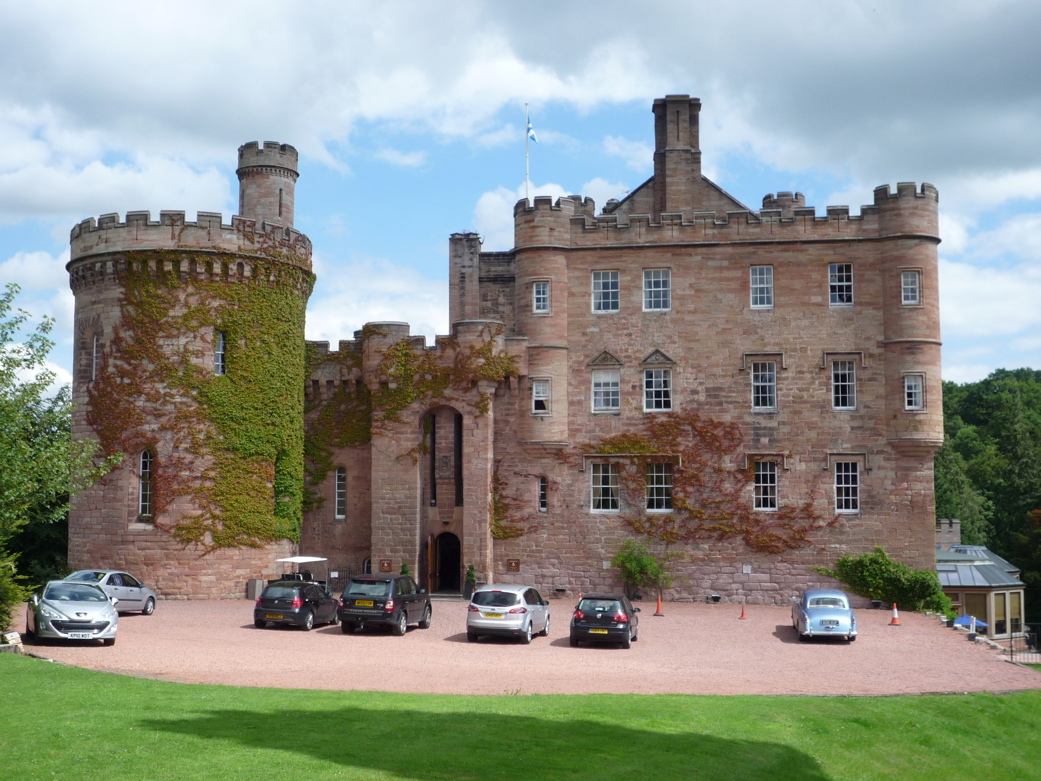
Dalhousie Castle
Dalhousie Castle is a castle in Cockpen, Midlothian, Scotland. Dalhousie Castle is situated near the town of Bonnyrigg, 8 miles (13 km) south of Edinburgh...

Cockpen and Carrington Parish Church
Cockpen and Carrington Parish Church is located to the south of the town of Bonnyrigg in Midlothian, Scotland. It is a congregation of the Church of Scotland...

Cockpen
Cockpen is a parish in Midlothian, Scotland, containing at its north-west corner the town of Bonnyrigg, which lies two miles (3.2 km) south-west of Dalkeith...
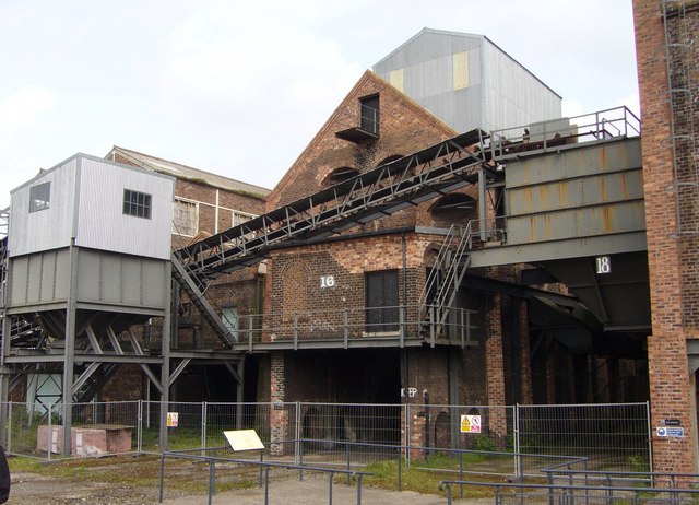
National Mining Museum Scotland
The National Mining Museum Scotland was created in 1984, to preserve the physical surface remains of Lady Victoria Colliery at Newtongrange, Midlothian...

Newtongrange railway station
Newtongrange is a railway station on the Borders Railway, which runs between Edinburgh Waverley and Tweedbank. The station, situated 11 miles 77 chains...

Gorebridge
Gorebridge is a former mining village in Midlothian, Scotland. Gorebridge has an annual Gala Day which always takes place on the 3rd Saturday in June....

Arniston House
Arniston House is a historic house in Midlothian, Scotland, near the village of Temple. This Georgian mansion was designed by William Adam in 1726 for...
Nearby Amenities
Located within 500m of 55.846244,-3.0903089Have you been to Aikendean Glen?
Leave your review of Aikendean Glen below (or comments, questions and feedback).