Under Scar

Valley in Peeblesshire

Scotland

Under Scar

Heathpool Common An area of moorland and rough grassland on Collie Law.
Heathpool Common Credit: Richard Webb

The requested URL returned error: 429 Too Many Requests

If you have any feedback on the listing, please let us know in the comments section below.
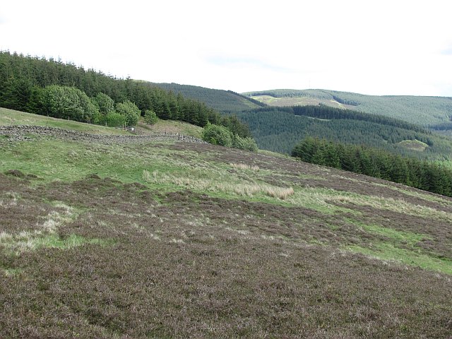
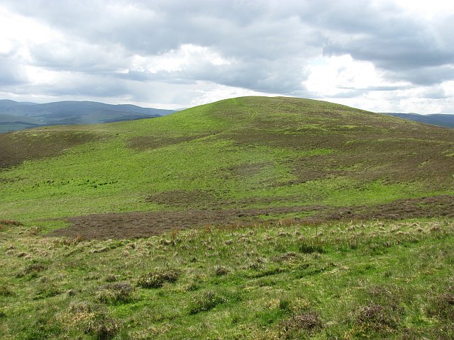
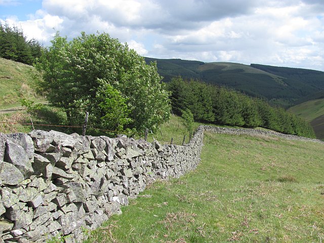
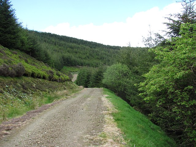
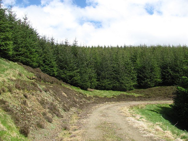
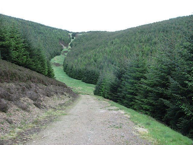
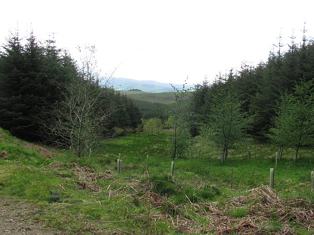
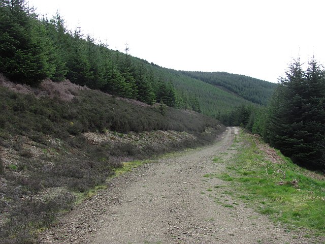
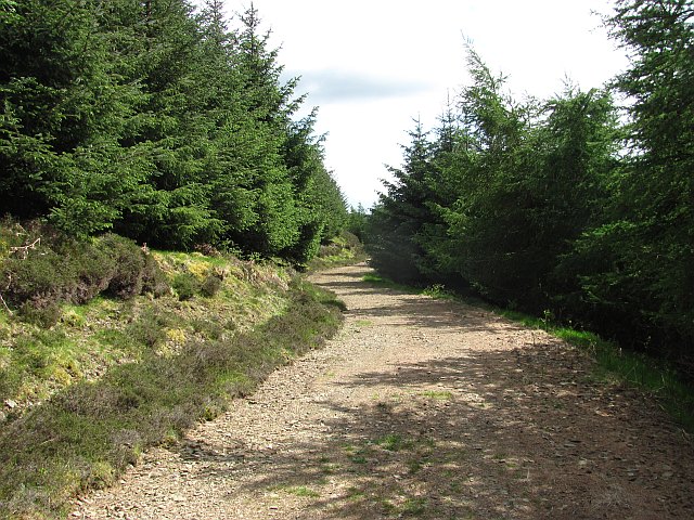
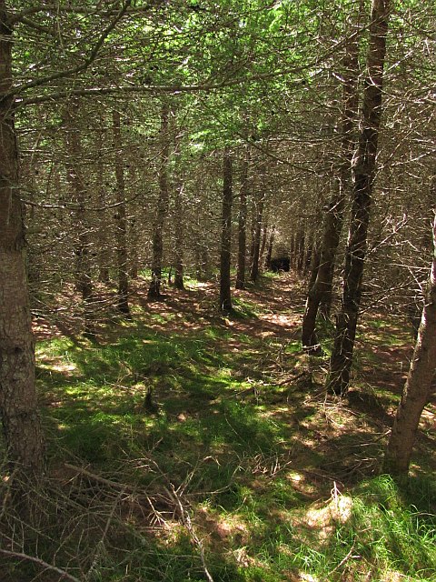
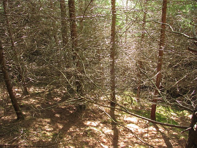
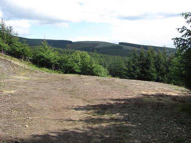
Under Scar Images

Images are sourced within 2km of 55.686414/-3.1564629 or Grid Reference NT2744. Thanks to Geograph Open Source API. All images are credited.

Heathpool Common An area of moorland and rough grassland on Collie Law.
Heathpool Common
An area of moorland and rough grassland on Collie Law.
Ewes and lambs, Winkston Hill Sheep pasture above Peebles.
Ewes and lambs, Winkston Hill
Sheep pasture above Peebles.
Winkston Hill A view along the ridge.
Winkston Hill
A view along the ridge.
Forest and moor, White Hill Young plantation, an extension to the vast woodlands in the south west Moorfoot Hills.
Forest and moor, White Hill
Young plantation, an extension to the vast woodlands in the south west Moorfoot Hills.
Collie Law Moorland summit in the Moorfoot Hills.
Collie Law
Moorland summit in the Moorfoot Hills.
Dyke, White Law Edge of the forest above Soonhope.
Dyke, White Law
Edge of the forest above Soonhope.
Logging road, Crookshope View along one of the forest roads which contour the steep sides of some of the Moorfoot Hill glens.
Logging road, Crookshope
View along one of the forest roads which contour the steep sides of some of the Moorfoot Hill glens.
Forest, Crookshope Sitka spruce plantations at the head of Crookshope beneath Whiteside Edge.
Forest, Crookshope
Sitka spruce plantations at the head of Crookshope beneath Whiteside Edge.
Forest road, Soonhope The upper reaches of the Soonhope Burn, clothed in a first generation Sitka spruce plantation.
Forest road, Soonhope
The upper reaches of the Soonhope Burn, clothed in a first generation Sitka spruce plantation.
Soonhope Burn A gap in the Sitka spruce for the burn, with some limited broadleaf planting.
Soonhope Burn
A gap in the Sitka spruce for the burn, with some limited broadleaf planting.
Forest road, Soonhope A road contours around the upper glen through seemingly endless Sitka plantations.
Forest road, Soonhope
A road contours around the upper glen through seemingly endless Sitka plantations.
Forest road, Soonhope This logging road in privately maintained forestry is shown ending near here with no connection with the road network in the neighbouring Forestry Commission woodland. No problem if on foot, bike or horesback as the roads almost meet and there is a short easy path connecting them.
Forest road, Soonhope
This logging road in privately maintained forestry is shown ending near here with no connection with the road network in the neighbouring Forestry Commission woodland. No problem if on foot, bike or horesback as the roads almost meet and there is a short easy path connecting them.
Inside the forest Larch and a cut path allow access to otherwise dense woodland, and that all important gridline.
Inside the forest
Larch and a cut path allow access to otherwise dense woodland, and that all important gridline.
Dense larch wood There is a way through - but you have to work at it.
Dense larch wood
There is a way through - but you have to work at it.
Road end (private) The roads in the private and Forestry Commission managed bits of Glentress Forest do not meet - but there is a gap in the trees where the shortest of paths takes you on to the next road over the boundary. It's like a spark across a gap, a huge "potential" builds up when forest roads are close to each other and paths form along the easiest route between them.
Road end (private)
The roads in the private and Forestry Commission managed bits of Glentress Forest do not meet - but there is a gap in the trees where the shortest of paths takes you on to the next road over the boundary. It's like a spark across a gap, a huge "potential" builds up when forest roads are close to each other and paths form along the easiest route between them.
Road end  (FC) The roads in the private and Forestry Commission managed bits of Glentress Forest do not meet - but there is a gap in the trees where the shortest of paths takes you on to the next road over the boundary. It's like a spark across a gap, a huge "potential" builds up when forest roads are close to each other and paths form along the easiest route between them.
Road end (FC)
The roads in the private and Forestry Commission managed bits of Glentress Forest do not meet - but there is a gap in the trees where the shortest of paths takes you on to the next road over the boundary. It's like a spark across a gap, a huge "potential" builds up when forest roads are close to each other and paths form along the easiest route between them.
Logging road, Glentress Forest The flanks of Tower Rig.
Logging road, Glentress Forest
The flanks of Tower Rig.
Path, Tower Rig Path in Glentress Forest.
Path, Tower Rig
Path in Glentress Forest.
Show me another place!

Under Scar is located at Grid Ref: NT2744 (Lat: 55.686414, Lng: -3.1564629)

Unitary Authority: The Scottish Borders

Police Authority: The Lothians and Scottish Borders

What 3 Words

///frightens.pairings.qualifier. Near Peebles, Scottish Borders

Related Wikis

Glentress Forest

Glentress Forest is located near Peebles in the Scottish Borders, about 30 miles south of Edinburgh. Part of the Tweed Valley Forest Park along with Traquair...

Milkieston Rings

Milkieston Rings is a prehistoric site, a hillfort near the village of Eddleston and about 3 miles (5 km) north of Peebles, in the Scottish Borders, Scotland...

Bowbeat Hill

Bowbeat Hill is a hill in the Moorfoot Hills range, part of the Southern Uplands of Scotland. It lends its name to Bowbeat Onshore Wind Farm built on the...

Redscarhead

Redscarhead is a village in the Scottish Borders area of Scotland, off the A703, by the Eddleston Water, and close to Cringletie. In the village is a memorial...

Nearby Amenities

Located within 500m of 55.686414,-3.1564629
Makeness Hill
Natural: peak
Lat/Long: 55.6845137/-3.1573677
The data included in this document is from www.openstreetmap.org. The data is made available under ODbL.

Have you been to Under Scar?

Leave your review of Under Scar below (or comments, questions and feedback).