Gwernaffel Dingle
Valley in Radnorshire
Wales
Gwernaffel Dingle
The requested URL returned error: 429 Too Many Requests
If you have any feedback on the listing, please let us know in the comments section below.
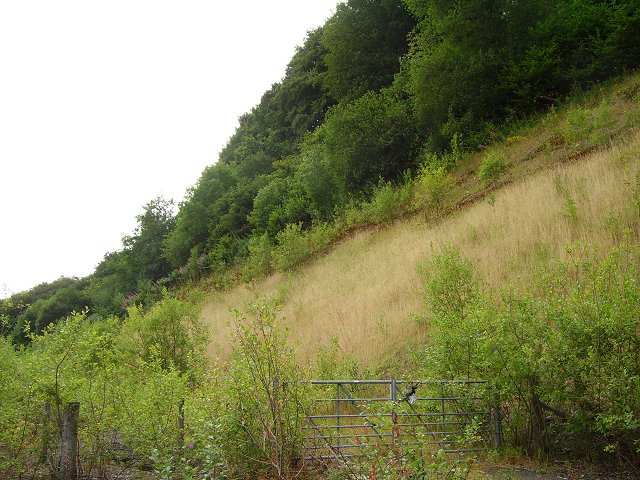
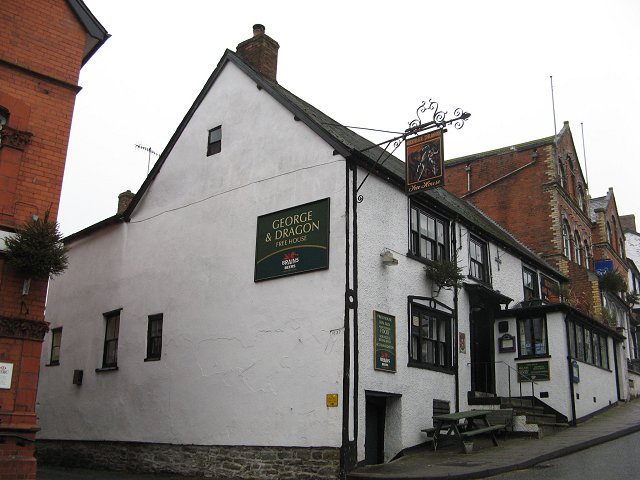
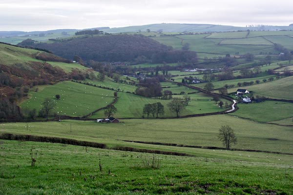
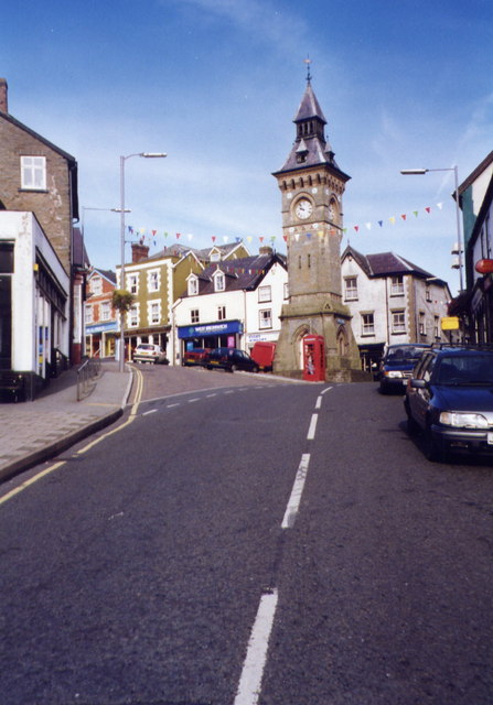
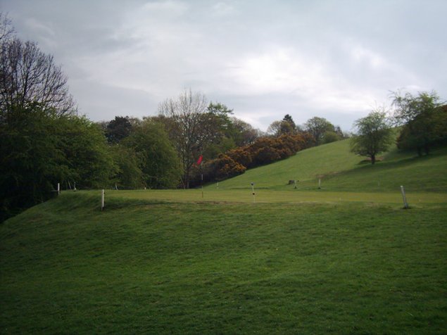
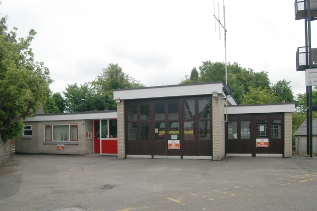
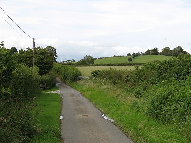
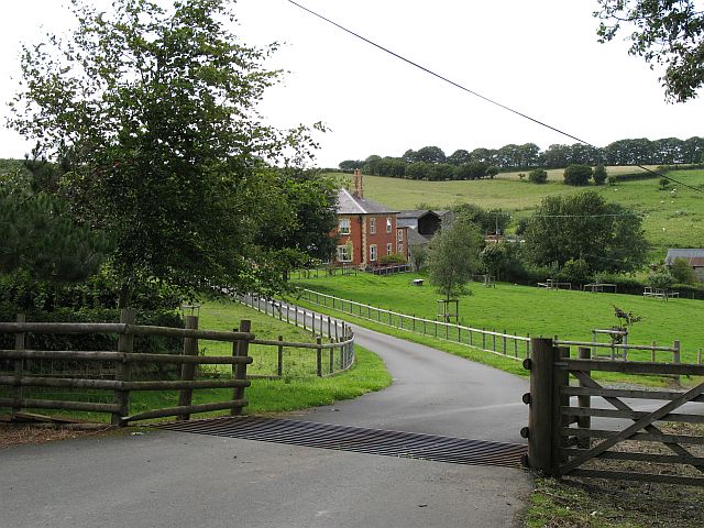
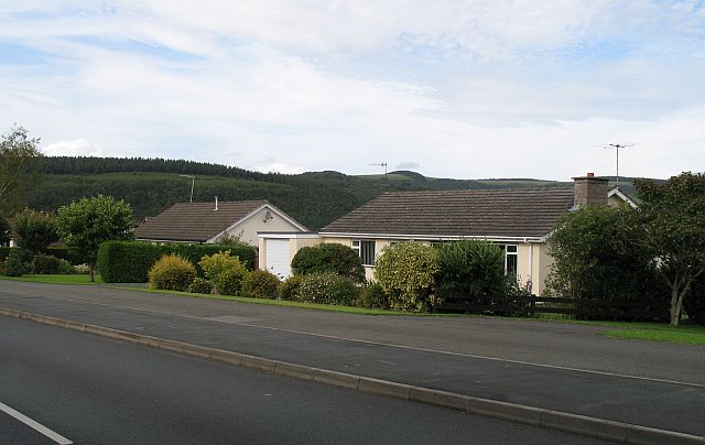
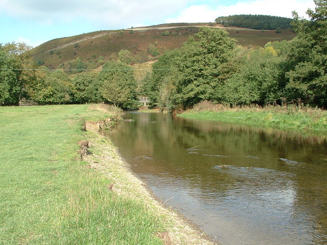
Gwernaffel Dingle Images
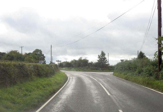
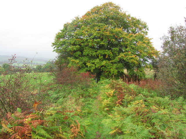
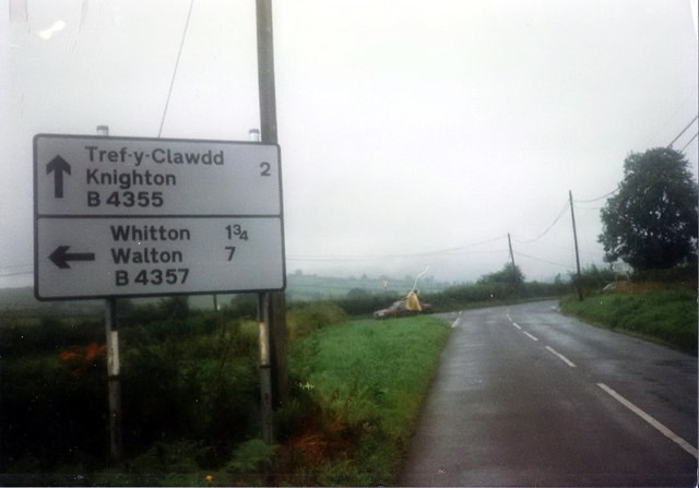
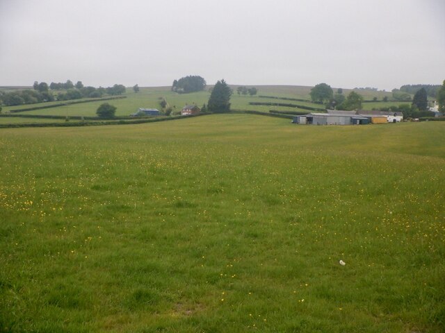
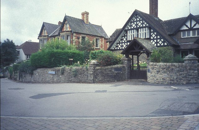
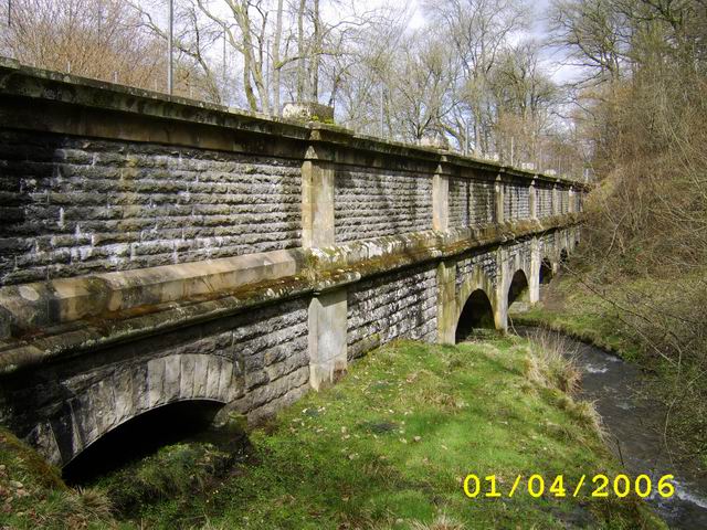
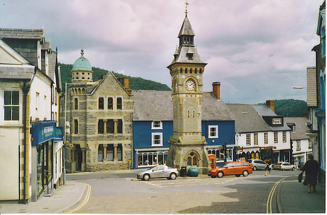
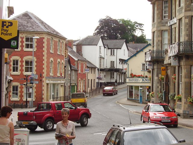
Images are sourced within 2km of 52.331507/-3.067089 or Grid Reference SO2770. Thanks to Geograph Open Source API. All images are credited.
Gwernaffel Dingle is located at Grid Ref: SO2770 (Lat: 52.331507, Lng: -3.067089)
Unitary Authority: Powys
Police Authority: Dyfed Powys
What 3 Words
///pizza.survive.generally. Near Knighton, Powys
Nearby Locations
Related Wikis

Knighton Hospital
Knighton Hospital (Welsh: Ysbyty Trefyclo) is a health facility in Ffrydd Road, Knighton, Powys, Wales. It is managed by the Powys Teaching Health Board...

Knighton Community Centre
Knighton Community Centre is a venue situated in the Powys border town of Knighton. Following an extensive refurbishment in 2017, it has become a hub...

Knighton, Powys
Knighton (Welsh: Tref-y-clawdd [trɛvəˈklauð] or Trefyclo) is a market town and community on the River Teme, straddling the border between Powys, Wales...
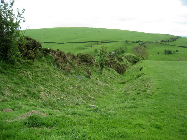
Offa's Dyke
Offa's Dyke (Welsh: Clawdd Offa) is a large linear earthwork that roughly follows the border between England and Wales. The structure is named after Offa...
Nearby Amenities
Located within 500m of 52.331507,-3.067089Have you been to Gwernaffel Dingle?
Leave your review of Gwernaffel Dingle below (or comments, questions and feedback).