Barrow
Settlement in Yorkshire
England
Barrow
Barrow is a small village located in the East Riding of Yorkshire, England. Situated approximately 10 miles north of the city of Hull, it falls within the civil parish of Barrow upon Humber. The village is nestled along the banks of the River Humber, offering stunning views of the estuary and the iconic Humber Bridge.
Barrow is known for its rich history, dating back to Roman times. Evidence of Roman settlements has been discovered in the area, including coins and pottery fragments. The village also played a significant role during the Viking era, with archaeological remains of a Viking cemetery found nearby.
Today, Barrow is a peaceful and picturesque village, attracting visitors with its quaint charm and natural beauty. The village is home to a close-knit community and offers a range of essential amenities, including a post office, local shops, and a primary school. The village pub serves as a social hub for residents and visitors alike.
Nature lovers can explore the nearby Barrow Haven Nature Reserve, a haven for wildlife enthusiasts and birdwatchers. The reserve boasts an array of habitats, including wetlands, woodlands, and grasslands, providing a home to various bird species and other wildlife.
Barrow's proximity to Hull allows residents to enjoy the amenities of a larger city, such as shopping centers, museums, and cultural events, while still benefiting from the tranquility of village life. With its fascinating history and idyllic surroundings, Barrow is a charming destination for those seeking a peaceful retreat in the heart of Yorkshire.
If you have any feedback on the listing, please let us know in the comments section below.
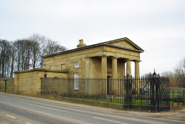
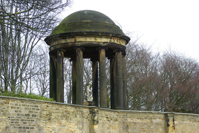
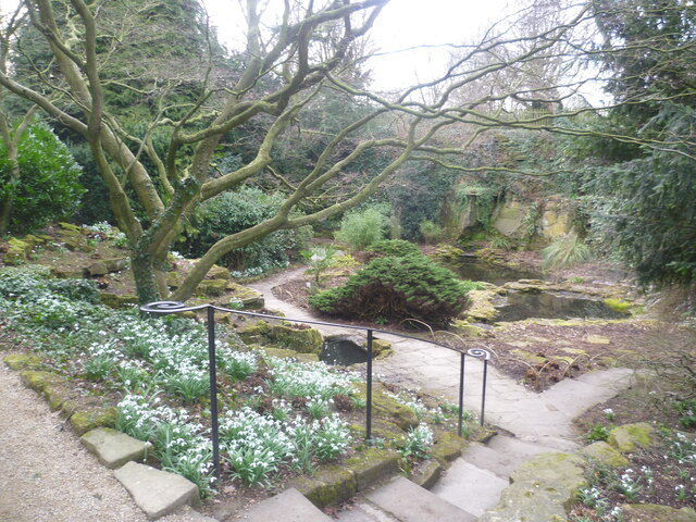
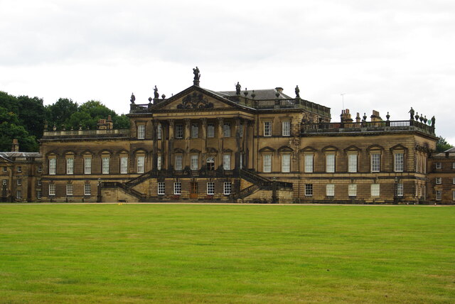
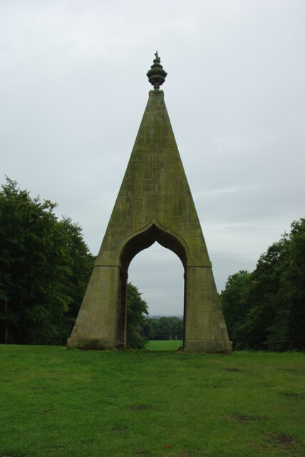
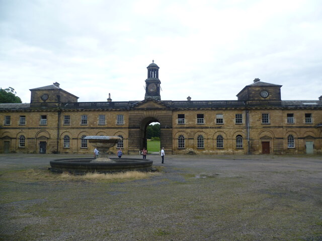
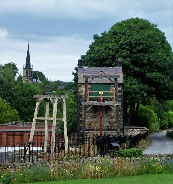
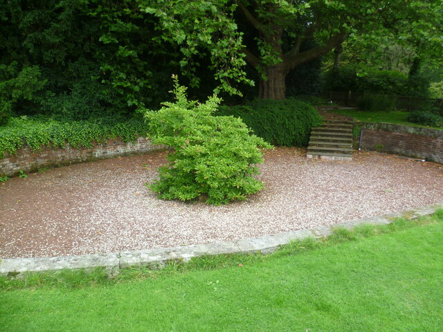
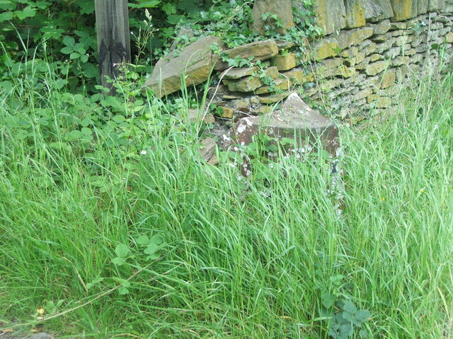
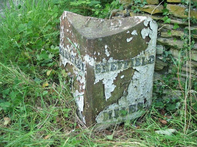
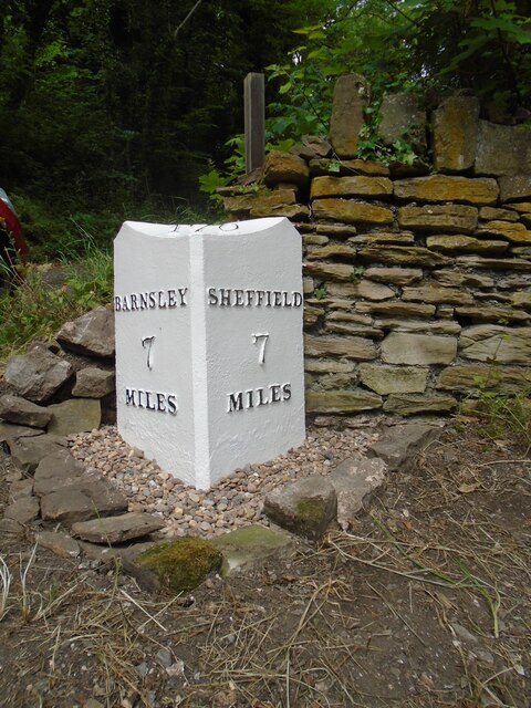
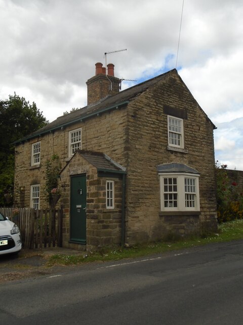
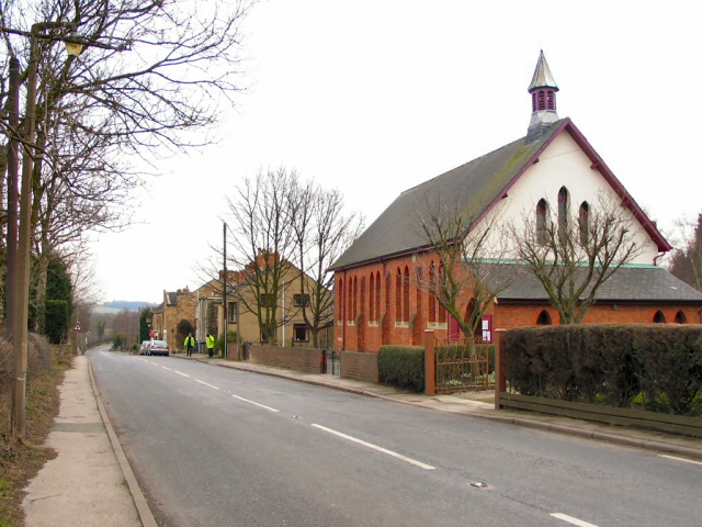
Barrow Images
Images are sourced within 2km of 53.480505/-1.430374 or Grid Reference SK3798. Thanks to Geograph Open Source API. All images are credited.
Barrow is located at Grid Ref: SK3798 (Lat: 53.480505, Lng: -1.430374)
Division: West Riding
Unitary Authority: Rotherham
Police Authority: South Yorkshire
What 3 Words
///nurse.ranks.brightens. Near Wentworth, South Yorkshire
Nearby Locations
Related Wikis
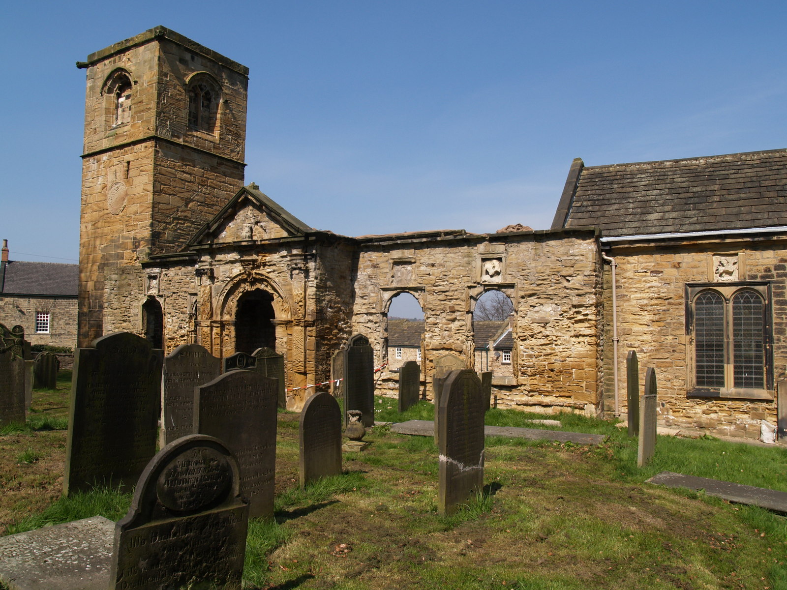
Old Holy Trinity Church, Wentworth
The Old Holy Trinity Church is a redundant Anglican church in the village of Wentworth, South Yorkshire, England. It is partly in ruins, and stands close...
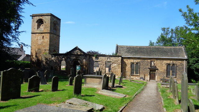
Holy Trinity Church, Wentworth
Holy Trinity Church is a Grade II* listed parish church in the Church of England in Wentworth, South Yorkshire. == History == The church was built by William...
Wentworth, South Yorkshire
Wentworth is a village and civil parish in the Metropolitan Borough of Rotherham in South Yorkshire, England. In the 2001 Census the parish had a population...
Harley, South Yorkshire
Harley is a hamlet in the civil parish of Wentworth, in the Rotherham district lying to the north of Rotherham and Sheffield, South Yorkshire, England...
Nearby Amenities
Located within 500m of 53.480505,-1.430374Have you been to Barrow?
Leave your review of Barrow below (or comments, questions and feedback).