Cwm y Sul
Valley in Montgomeryshire
Wales
Cwm y Sul

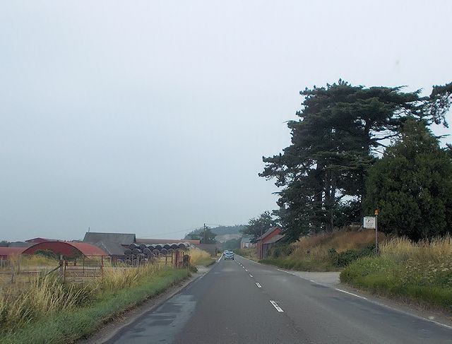
Cwm y Sul is a small valley located in Montgomeryshire, Wales. The valley is surrounded by rolling hills and lush greenery, making it a picturesque and tranquil location. The valley is home to a small community of residents who enjoy the peaceful and rural setting.
Cwm y Sul is known for its stunning natural beauty, with the river running through the valley and providing a peaceful backdrop to the area. The valley is also home to a variety of wildlife, including birds, deer, and other small mammals.
The residents of Cwm y Sul take pride in their community and work together to maintain the beauty of the valley. There are a few small farms in the area that produce fresh produce and dairy products, contributing to the local economy.
Visitors to Cwm y Sul can enjoy hiking and exploring the surrounding countryside, as well as taking in the stunning views of the valley. The valley offers a peaceful retreat from the hustle and bustle of city life, making it a popular destination for those seeking a quiet and relaxing getaway.
If you have any feedback on the listing, please let us know in the comments section below.
Cwm y Sul Images
Images are sourced within 2km of 52.665034/-3.090339 or Grid Reference SJ2608. Thanks to Geograph Open Source API. All images are credited.


Cwm y Sul is located at Grid Ref: SJ2608 (Lat: 52.665034, Lng: -3.090339)
Unitary Authority: Powys
Police Authority: Dyfed Powys
What 3 Words
///devoured.shoelaces.flame. Near Welshpool, Powys
Nearby Locations
Related Wikis

Battle of Buttington
The Battle of Buttington was fought in 893 between a Viking army and an alliance of Anglo-Saxons and Welsh. The annals for 893 reported that a large Viking...
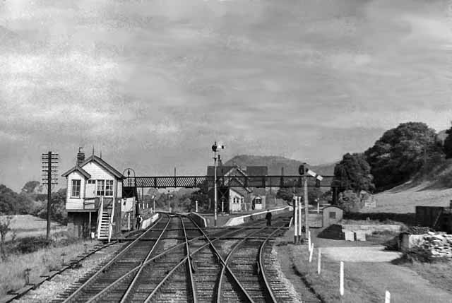
Buttington railway station
Buttington railway station was a station in Buttington, Powys, Wales. The station was opened in November 1860, several months after the line that served...
Buttington Oak
The Buttington Oak was a tree near to Offa's Dyke at Buttington, Wales, said to have been planted to mark the site of the Battle of Buttington between...
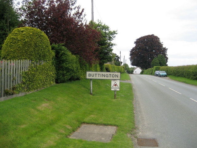
Buttington
Buttington (Welsh: Tal-y-bont) is a village in Powys, Wales, less than 3 km from Welshpool and about 300 m from the River Severn, in the community of Trewern...
Nearby Amenities
Located within 500m of 52.665034,-3.090339Have you been to Cwm y Sul?
Leave your review of Cwm y Sul below (or comments, questions and feedback).