Afondale
Valley in Flintshire
Wales
Afondale
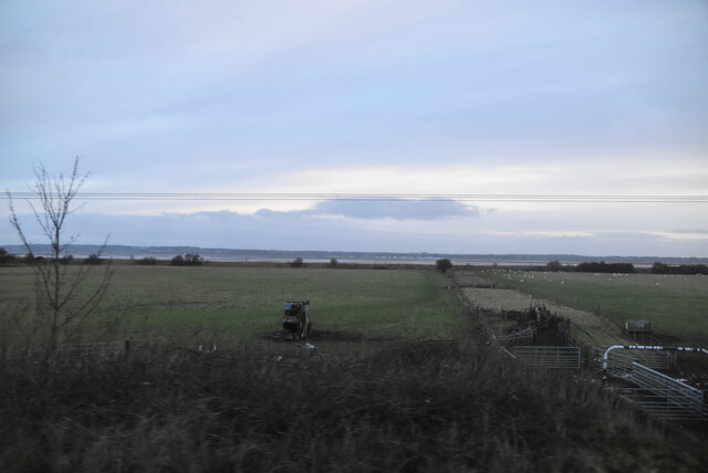
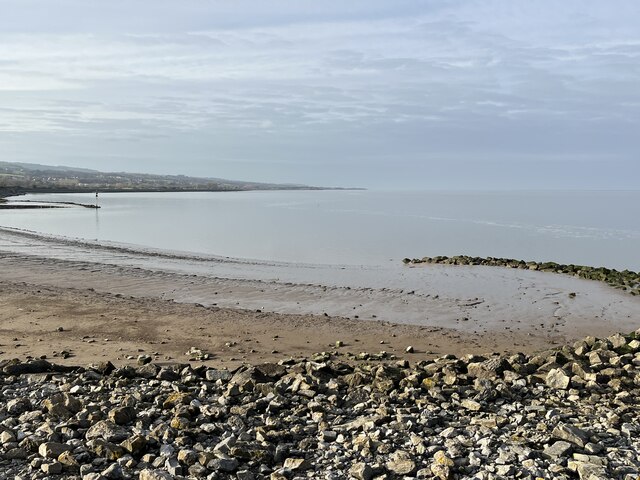
Afondale is a small valley located in the county of Flintshire, in northeast Wales. Situated near the town of Mold, Afondale is known for its picturesque landscapes and tranquil atmosphere. The valley is surrounded by rolling hills and lush green fields, offering a stunning backdrop for outdoor activities and leisurely walks.
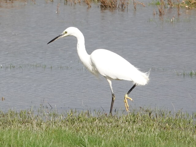
The main feature of Afondale is its namesake river, Afon (which means river in Welsh). The river flows through the valley, adding to its natural charm and serving as a source of water for the local wildlife. The area is home to a variety of bird species, making it a popular destination for birdwatchers and nature enthusiasts.
In addition to its natural beauty, Afondale offers several amenities for visitors. There are well-maintained footpaths and trails that allow visitors to explore the valley and enjoy its scenery. There are also picnic areas and benches along the riverbank, providing a perfect spot for a relaxing picnic or some quiet contemplation.
The valley is located in close proximity to the town of Mold, which offers additional amenities such as shops, restaurants, and accommodation options. This makes Afondale an ideal destination for those looking to escape the hustle and bustle of city life, while still having access to modern conveniences.
Overall, Afondale is a peaceful and idyllic valley that showcases the natural beauty of the Flintshire countryside. Its serene atmosphere and scenic landscapes make it a popular destination for nature lovers and those seeking a tranquil retreat.
If you have any feedback on the listing, please let us know in the comments section below.
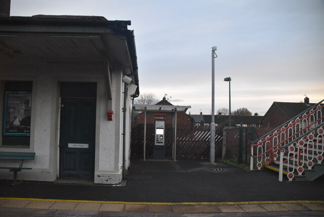
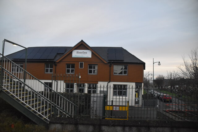
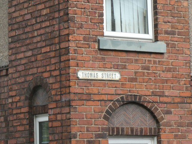
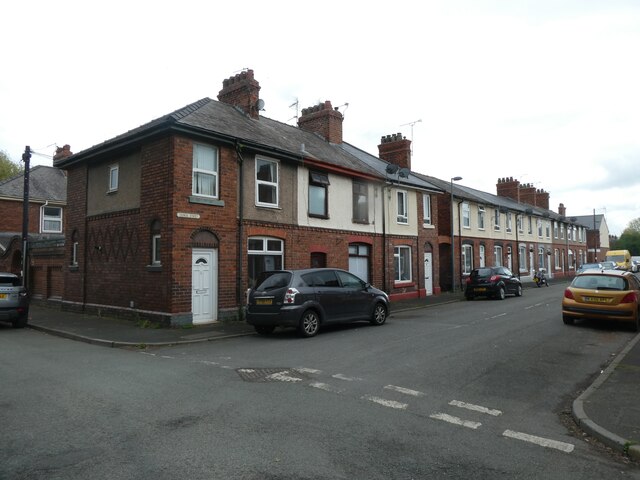
Afondale Images
Images are sourced within 2km of 53.244874/-3.140678 or Grid Reference SJ2372. Thanks to Geograph Open Source API. All images are credited.

Afondale is located at Grid Ref: SJ2372 (Lat: 53.244874, Lng: -3.140678)
Unitary Authority: Flintshire
Police Authority: North Wales
What 3 Words
///digress.cookie.burden. Near Flint, Flintshire
Nearby Locations
Related Wikis

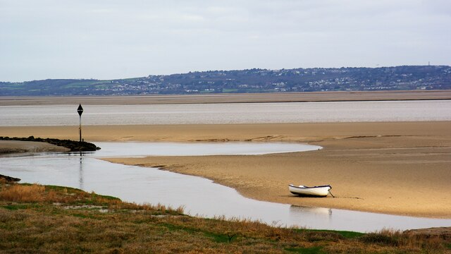
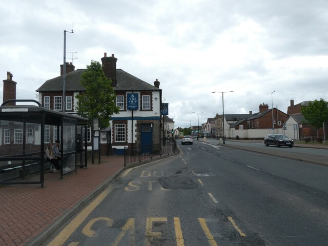
Flint, Flintshire
Flint (Welsh: Y Fflint) is a town and community in Flintshire, Wales, lying on the estuary of the River Dee. It is the former county town of Flintshire...

Flint Town Hall
Flint Town Hall (Welsh: Neuadd y Dref Y Fflint) is a municipal structure in the Market Square, Flint, Flintshire, Wales. The town hall, which is the meeting...

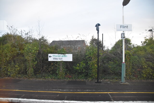
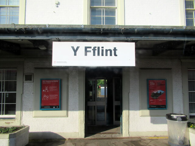
Flint railway station
Flint railway station (Welsh: Y Fflint) serves the town of Flint in Flintshire, North Wales. It is located on the North Wales Coast Line and is managed...

St Richard Gwyn Catholic High School, Flint
St Richard Gwyn Catholic High School is a Catholic co-educational voluntary aided secondary school situated on Albert Avenue in Flint, Flintshire, United...
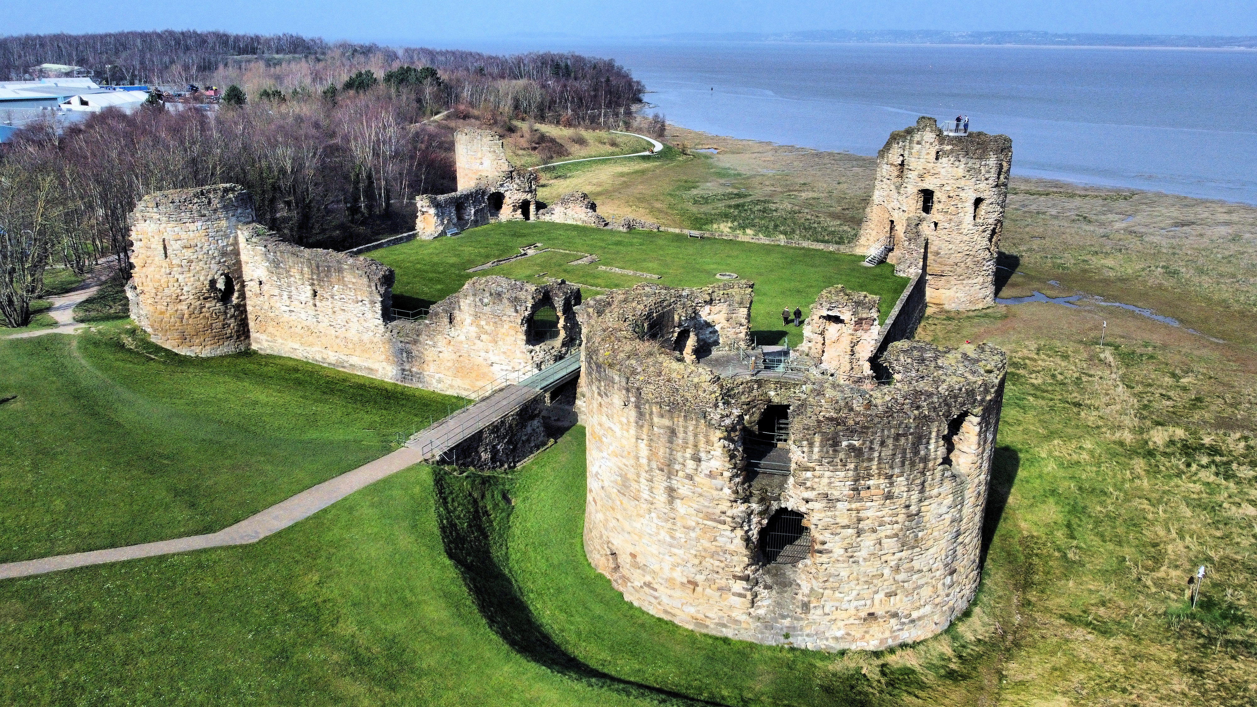
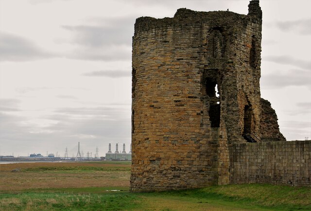
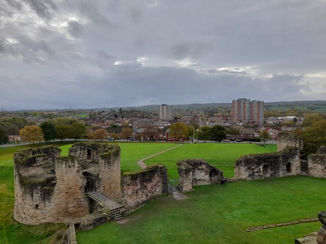
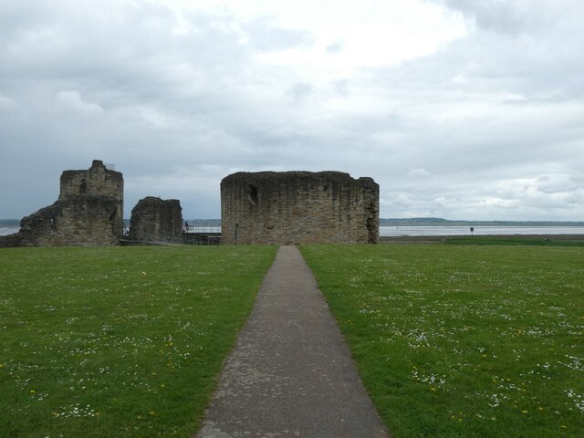
Flint Castle
Flint Castle (Welsh: Castell y Fflint) in Flint, Flintshire, was the first of a series of castles built during King Edward I's campaign to conquer Wales...

Cae-y-Castell
Cae-y-Castell (currently known as the Essity Stadium for sponsorship reasons) is a football stadium in Flint, Flintshire, Wales. Located on the banks of...
Flint Town United F.C.
Flint Town United Football Club (Welsh: Clwb Pêl-droed Tref Y Fflint Unedig) is a football club based in Flint, Flintshire, Wales, that will compete in...

Cornist Hall
Cornist Hall is a large house 1 mile (1.6 km) west-southwest of the town of Flint, Flintshire, Wales. It was the birthplace in 1746 of Thomas Totty, an...
Nearby Amenities
Located within 500m of 53.244874,-3.140678Have you been to Afondale?
Leave your review of Afondale below (or comments, questions and feedback).