Cowieslinn Dean

Valley in Peeblesshire

Scotland

Cowieslinn Dean

Sign at Westloch A fairly recent sign on the gate at the road end of the track to Portmore Loch.
Sign at Westloch Credit: Jim Barton

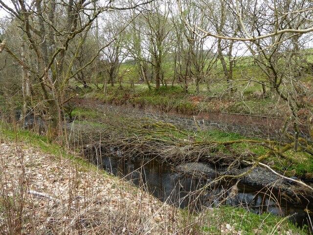
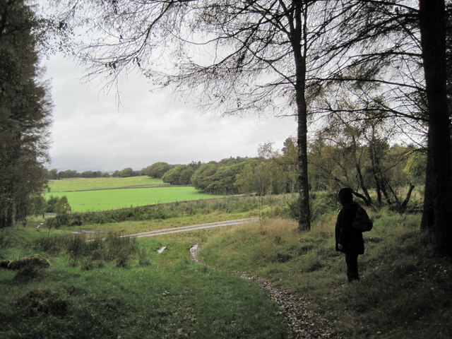
Cowieslinn Dean is a picturesque valley located in Peeblesshire, Scotland. Nestled between rolling hills and surrounded by lush greenery, it is a haven for nature enthusiasts and those seeking tranquility. The valley is named after the Cowie Water, a meandering river that flows through its heart, adding to the beauty of the landscape.

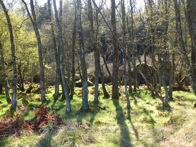
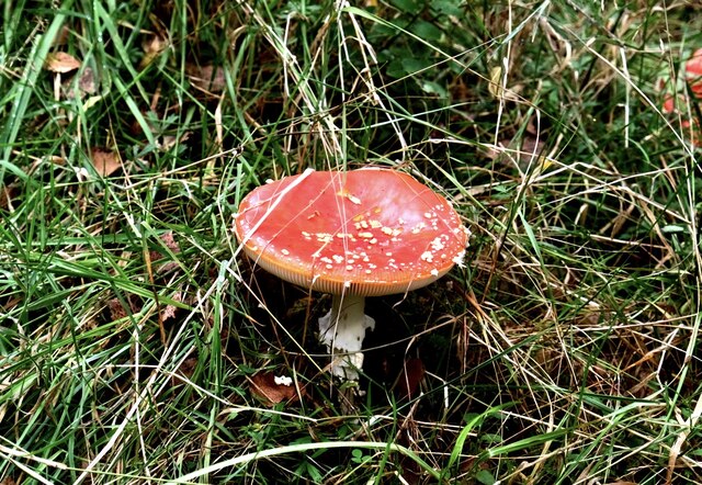
The valley is characterized by its diverse flora and fauna, with a variety of plant species flourishing in the fertile soil. Tall trees, including oak, birch, and ash, line the banks of the river, providing shade and shelter for a wide range of wildlife. Visitors can often spot various bird species, such as kingfishers and herons, soaring above the water or perched on branches.

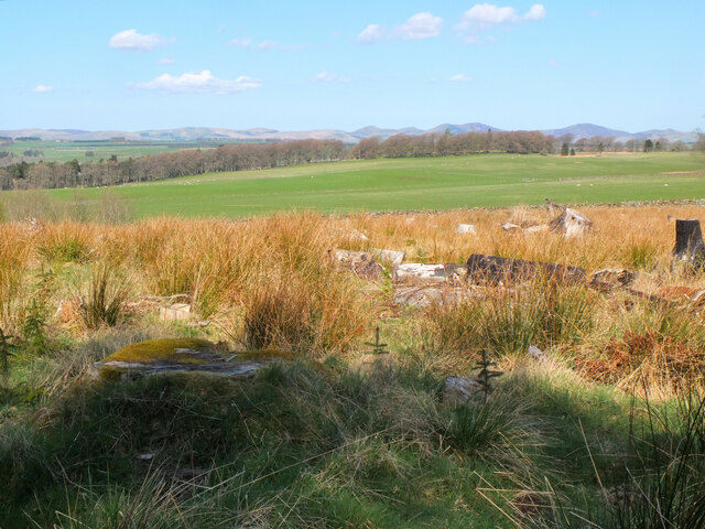
Cowieslinn Dean offers several walking trails that wind through its enchanting scenery, allowing visitors to explore the valley at their own pace. These trails offer breathtaking views of the surrounding hills, and there are several lookout points along the way where visitors can pause to take in the magnificent vistas.

The valley is also home to a number of historic sites, including the ruins of Cowieslinn Castle, a medieval stronghold that once stood proudly overlooking the river. The castle's remnants serve as a reminder of the area's rich history and provide a glimpse into its past.

Overall, Cowieslinn Dean is a hidden gem in Peeblesshire, offering visitors a chance to escape the hustle and bustle of everyday life and immerse themselves in the beauty of nature. Whether it's a leisurely walk along the riverbank or exploring the historic sites, this valley is a must-visit destination for those seeking peace and serenity in a stunning natural setting.

If you have any feedback on the listing, please let us know in the comments section below.

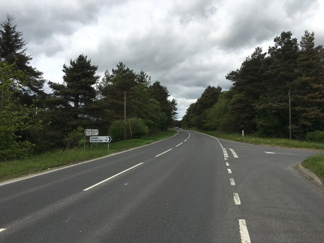
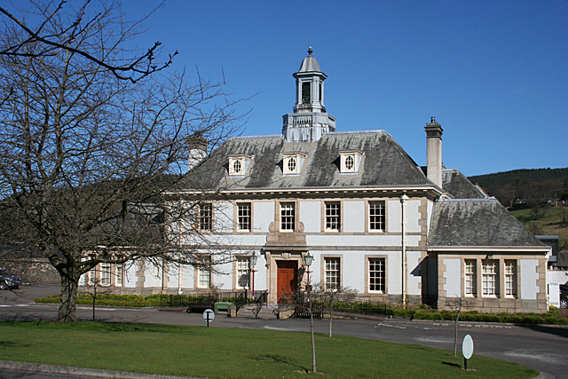
Cowieslinn Dean Images

Images are sourced within 2km of 55.747597/-3.2133939 or Grid Reference NT2351. Thanks to Geograph Open Source API. All images are credited.

Sign at Westloch A fairly recent sign on the gate at the road end of the track to Portmore Loch.
Sign at Westloch
A fairly recent sign on the gate at the road end of the track to Portmore Loch.
New plantation at Westloch Young conifers by the track to Portmore Loch with the Pentland Hills on the skyline.
New plantation at Westloch
Young conifers by the track to Portmore Loch with the Pentland Hills on the skyline.
Herdwick sheep, Westloch A flock of brown Herdwick sheep, in complete contrast to the blackface sheep more usually encountered in these hills.
Herdwick sheep, Westloch
A flock of brown Herdwick sheep, in complete contrast to the blackface sheep more usually encountered in these hills.
New plantations, Dundreich Part of the extensive new forestry plantations on the slopes of Loch Hill and Dundreich seen from the track south of Westloch.
New plantations, Dundreich
Part of the extensive new forestry plantations on the slopes of Loch Hill and Dundreich seen from the track south of Westloch.
Woodland, Portmore Estate Morning sunlight in the woods west of the loch.
Woodland, Portmore Estate
Morning sunlight in the woods west of the loch.
Felled area, Portmore Estate A clearing by the track west of the loch. The Pentland Hills make up the skyline.
Felled area, Portmore Estate
A clearing by the track west of the loch. The Pentland Hills make up the skyline.
Peeblesshire Fungi (2) Portmore Estate
Peeblesshire Fungi (2)
Portmore Estate
New plantations near Westloch New trees growing on the lower slopes of Dundreich.
New plantations near Westloch
New trees growing on the lower slopes of Dundreich.
Track to Westloch The access road from Portmore Loch with the Pentland Hills in the background.
Track to Westloch
The access road from Portmore Loch with the Pentland Hills in the background.
Eddleston Water Beside the trackbed of the old Peebles to Edinburgh Railway.
(Taken from a layby on the A703 polluted with much litter.)
Eddleston Water
Beside the trackbed of the old Peebles to Edinburgh Railway. (Taken from a layby on the A703 polluted with much litter.)
A703 near Silverdean
Gated track near Westloch
Path and track junction, Portmore Estate The path from Northshield Rings meets the estate track heading south past Portmore House.
Path and track junction, Portmore Estate
The path from Northshield Rings meets the estate track heading south past Portmore House.
The road to Lamancha Looking towards the bridge at Middle Burn between Shiplaw and Lamancha.
The road to Lamancha
Looking towards the bridge at Middle Burn between Shiplaw and Lamancha.
Sheep near Middle Burn
Triplets near Westloch The third one is hiding behind Ma. Farmland in the foothills of the Moorfoots.
Triplets near Westloch
The third one is hiding behind Ma. Farmland in the foothills of the Moorfoots.
Forestry and farmland near Westloch At the source of the Loch Burn. The pale area is ex-forest, the stiles allow access to pheasant feeding pens.
Forestry and farmland near Westloch
At the source of the Loch Burn. The pale area is ex-forest, the stiles allow access to pheasant feeding pens.
Farmland at Westloch Not really a lone sheep - the rest were to the left.
Farmland at Westloch
Not really a lone sheep - the rest were to the left.
Show me another place!

Cowieslinn Dean is located at Grid Ref: NT2351 (Lat: 55.747597, Lng: -3.2133939)

Unitary Authority: The Scottish Borders

Police Authority: The Lothians and Scottish Borders

What 3 Words

///discusses.notch.majoring. Near West Linton, Scottish Borders

Related Wikis

Earlyvale Gate railway station

Earlyvale Gate railway station served the Dundas family residence in Earlyvale, Scottish Borders, Scotland for 8 months (June 1856 - February 1857) on...

Tweeddale

Tweeddale (Scottish Gaelic: Srath Thuaidh/Tuaidhdail) is a committee area and lieutenancy area in the Scottish Borders council area in south-eastern Scotland...

Northshield Rings

Northshield Rings is a prehistoric site, a hillfort near the village of Eddleston and about 6 miles (10 km) north of Peebles, in the Scottish Borders,...

Darnhall Mains

Darnhall Mains is a farm and settlement off the A703, near Eddleston and the Eddleston Water in the Scottish Borders area of Scotland, in the former Peeblesshire...

Nearby Amenities

Located within 500m of 55.747597,-3.2133939
Pine Lodge
Tourism: guest_house
Lat/Long: 55.7461349/-3.2073195
Waterheads
Place: hamlet
Lat/Long: 55.7458986/-3.2073271
Power: pole
Lat/Long: 55.7437824/-3.2106342
Power: pole
Lat/Long: 55.7446202/-3.2106615
Power: pole
Lat/Long: 55.7451954/-3.2103672
Power: pole
Lat/Long: 55.7458013/-3.210075
Power: pole
Lat/Long: 55.744225/-3.2097176
Power: pole
Lat/Long: 55.7515934/-3.2106216
Power: pole
Lat/Long: 55.7511757/-3.2097891
Power: pole
Lat/Long: 55.7467763/-3.2083132
Power: pole
Lat/Long: 55.7475538/-3.2079999
Power: pole
Lat/Long: 55.7481537/-3.2080209
Power: pole
Lat/Long: 55.7487513/-3.2080672
Power: pole
Lat/Long: 55.7493251/-3.2080882
Power: pole
Lat/Long: 55.7477218/-3.2083699
Power: pole
Lat/Long: 55.747904/-3.2087778
Power: pole
Lat/Long: 55.7467361/-3.2066733
Power: pole
Lat/Long: 55.747071/-3.2059606
The data included in this document is from www.openstreetmap.org. The data is made available under ODbL.

Have you been to Cowieslinn Dean?

Leave your review of Cowieslinn Dean below (or comments, questions and feedback).