Birkie Cleuch
Valley in Dumfriesshire
Scotland
Birkie Cleuch
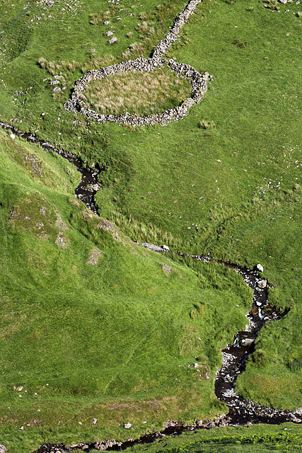
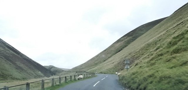
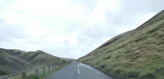
Birkie Cleuch is a picturesque valley located in Dumfriesshire, Scotland. Situated in the southern part of the country, this valley is renowned for its stunning natural beauty and tranquil atmosphere. The name "Birkie Cleuch" is derived from the Scots language, with "birkie" meaning birch tree and "cleuch" referring to a narrow, steep-sided valley.
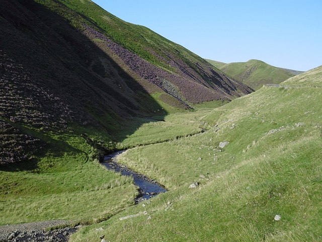
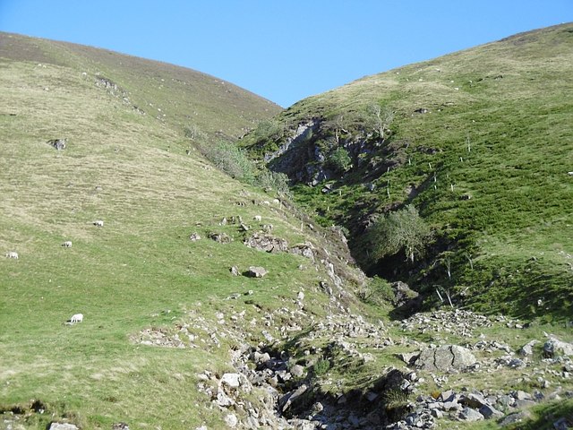
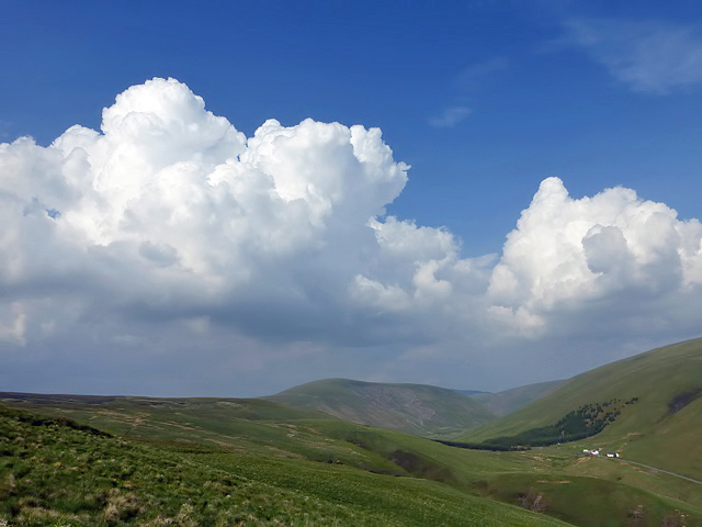
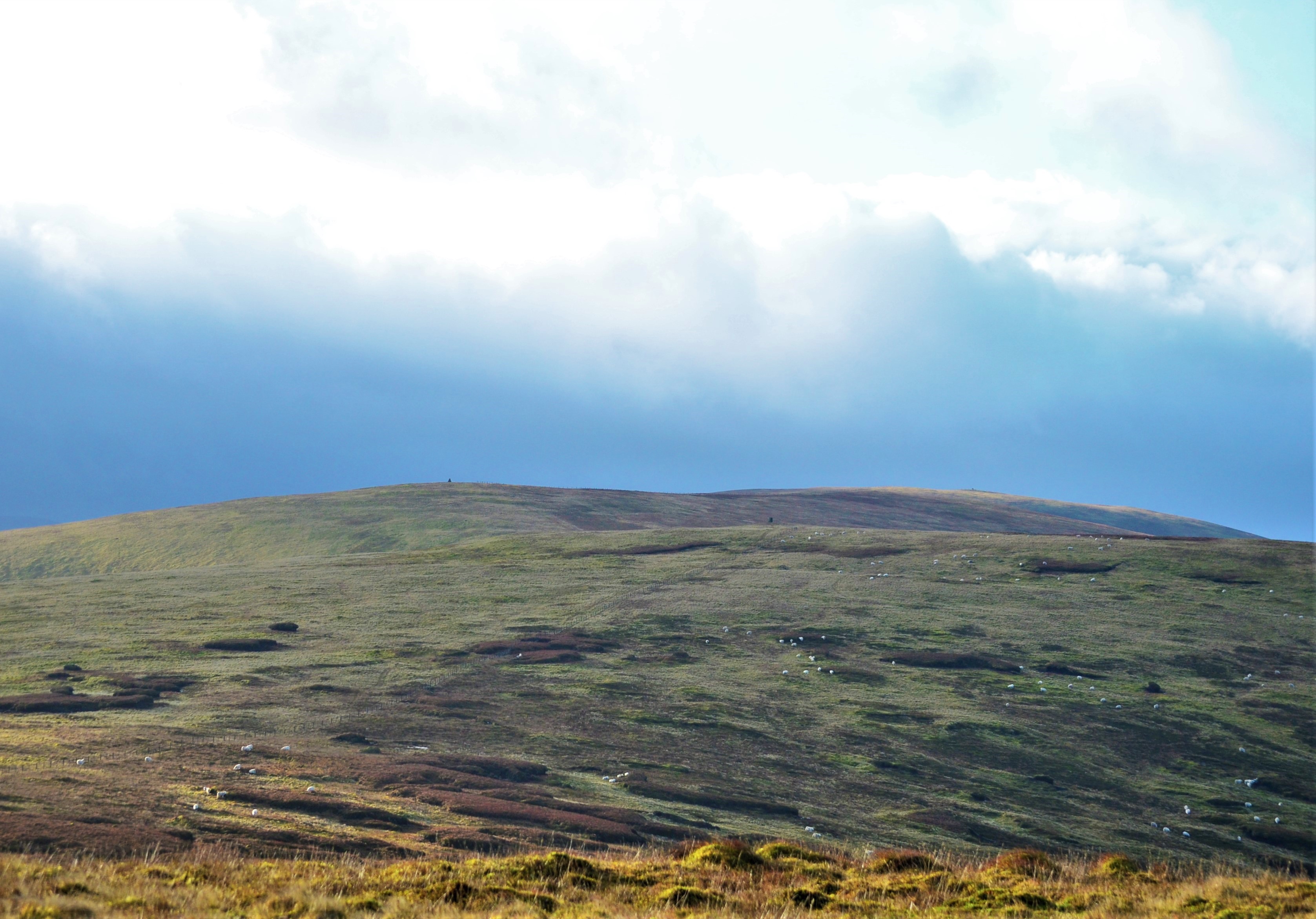
Nestled amidst rolling hills and lush green fields, Birkie Cleuch offers breathtaking views of the surrounding landscape. The valley is characterized by its rugged terrain, with steep slopes and craggy outcrops adding to its charm. A clear stream meanders through the valley, enhancing the idyllic setting.
The area is rich in biodiversity, with a diverse range of flora and fauna calling Birkie Cleuch home. The valley is known for its vibrant wildflower displays in the warmer months, with colorful blooms dotting the landscape. It is also a haven for birdwatchers, as a variety of bird species can be spotted soaring above or nesting in the trees.
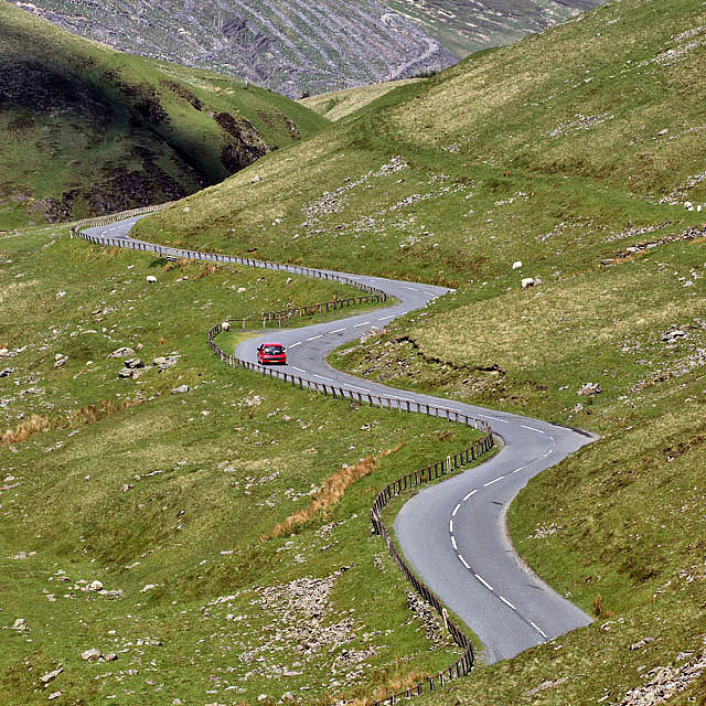
Birkie Cleuch is a popular destination for outdoor enthusiasts and nature lovers. The valley offers numerous walking and hiking trails, allowing visitors to explore its natural wonders at their own pace. The trails range in difficulty, catering to both beginners and experienced hikers. Additionally, the valley is a great spot for picnics, providing the perfect opportunity to relax and soak in the peaceful surroundings.
Overall, Birkie Cleuch is a hidden gem in Dumfriesshire, offering a tranquil escape into nature. Its stunning scenery, abundant wildlife, and recreational opportunities make it a must-visit destination for those seeking a serene and unforgettable experience in the Scottish countryside.
If you have any feedback on the listing, please let us know in the comments section below.
Birkie Cleuch Images
Images are sourced within 2km of 55.429477/-3.2576298 or Grid Reference NT2015. Thanks to Geograph Open Source API. All images are credited.


Birkie Cleuch is located at Grid Ref: NT2015 (Lat: 55.429477, Lng: -3.2576298)
Unitary Authority: Dumfries and Galloway
Police Authority: Dumfries and Galloway
What 3 Words
///unable.spiking.whimpered. Near Ettrick, Scottish Borders
Nearby Locations
Related Wikis

Dob's Linn
Dob's Linn is a small steep valley in Dumfries and Galloway, just north of the A708 road between Moffat and Selkirk, in Scotland. It is part of the Grey...
Andrewhinney Hill
Andrewhinney Hill is a hill in the Ettrick Hills range, part of the Southern Uplands of Scotland. It is the highest summit of a ridge that runs parallel...

Grey Mare's Tail, Moffat Hills
Grey Mare's Tail is a 60-metre (200 ft) hanging valley waterfall near to Moffat in southern Scotland. The fall is produced by the Tail Burn flowing from...

Southern Uplands
The Southern Uplands (Scottish Gaelic: Na Monaidhean a Deas) are the southernmost and least populous of mainland Scotland's three major geographic areas...

Loch Skeen
Loch Skeen or Loch Skene is a loch in Dumfries and Galloway in the south of Scotland. It is located about 10 miles to the north-east of Moffat and feeds...

White Coomb
White Coomb is a hill in the Moffat Hills range, part of the Southern Uplands of Scotland. Its broad summit is the highest point in the range and the registration...
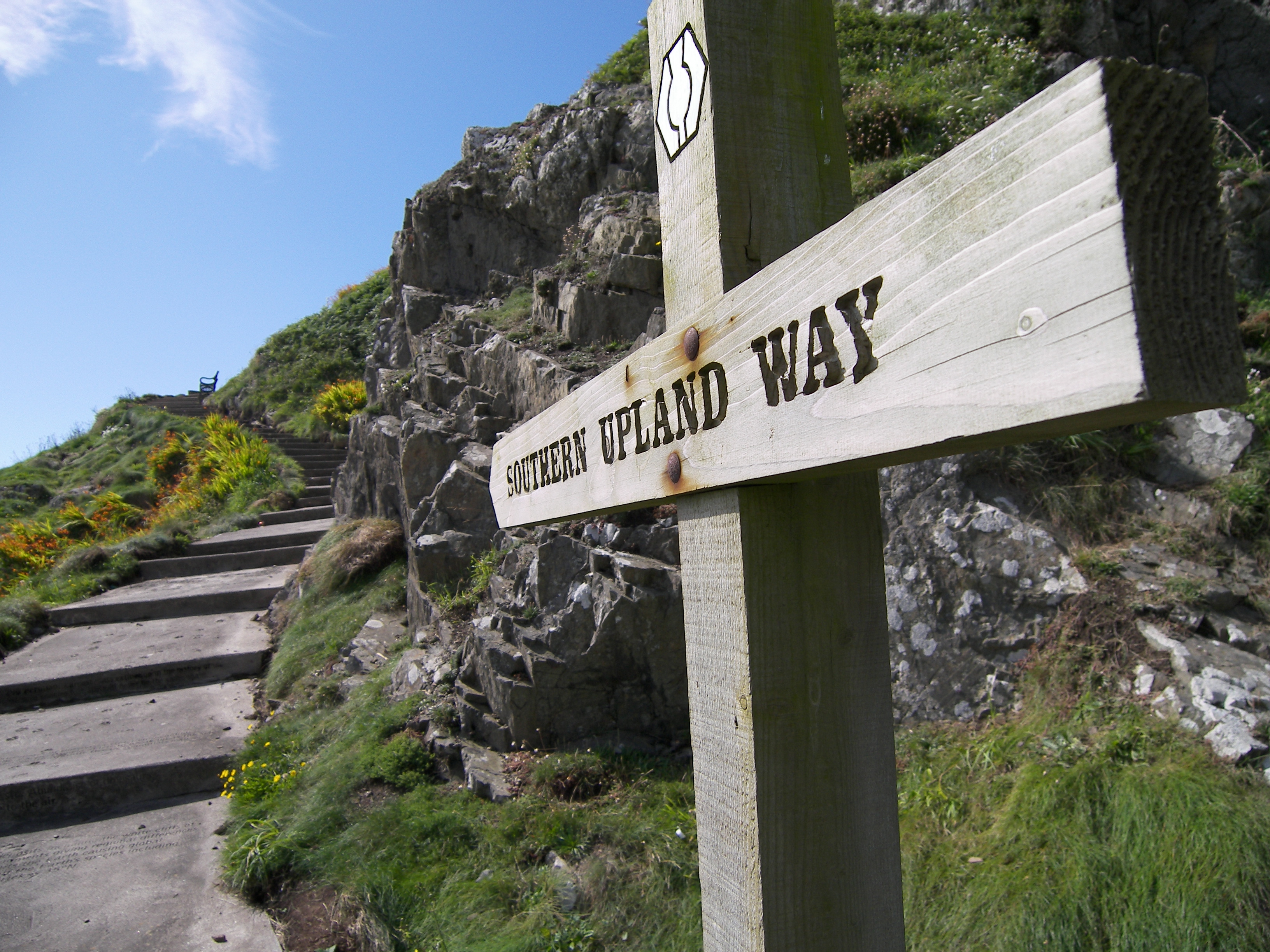
Southern Upland Way
The Southern Upland Way is a 344-kilometre (214 mi) coast-to-coast long-distance footpath in southern Scotland. The route links Portpatrick in the west...
Ettrick, Scotland
Ettrick (Scottish Gaelic: Eadaraig, IPA: [ˈet̪əɾɪkʲ]) is a small village and civil parish in the Scottish Borders area of Scotland. It is located on the...
Nearby Amenities
Located within 500m of 55.429477,-3.2576298Have you been to Birkie Cleuch?
Leave your review of Birkie Cleuch below (or comments, questions and feedback).