Green Dingle
Valley in Montgomeryshire
Wales
Green Dingle
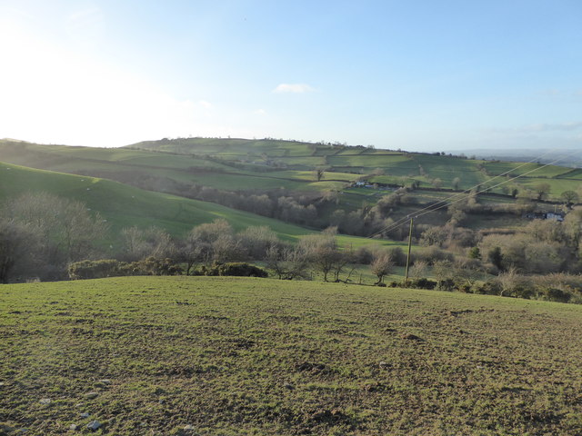
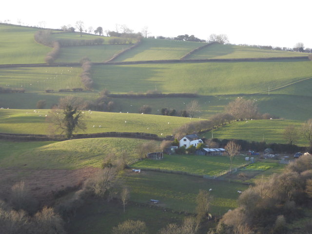
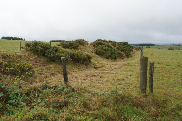
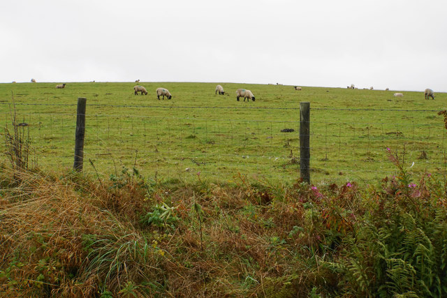
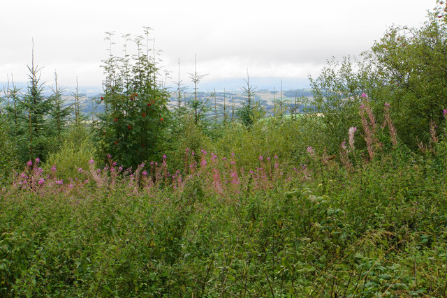
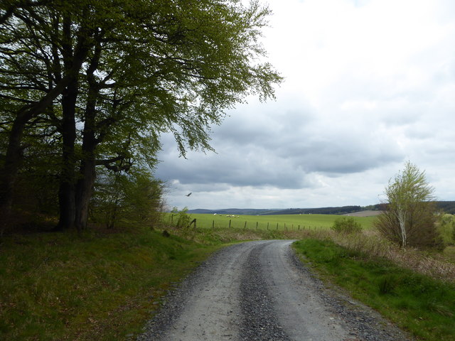
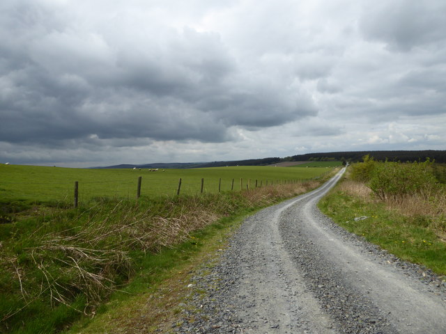
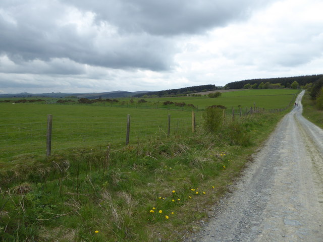
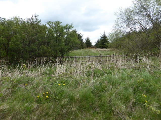
Green Dingle is a picturesque valley located in Montgomeryshire, Wales. It is characterized by its lush greenery, rolling hills, and peaceful atmosphere. The valley is home to a variety of flora and fauna, making it a popular destination for nature lovers and outdoor enthusiasts.
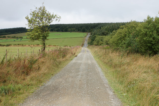
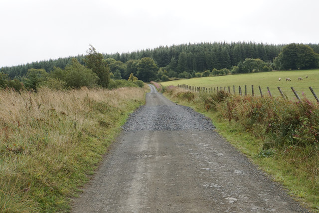
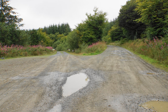
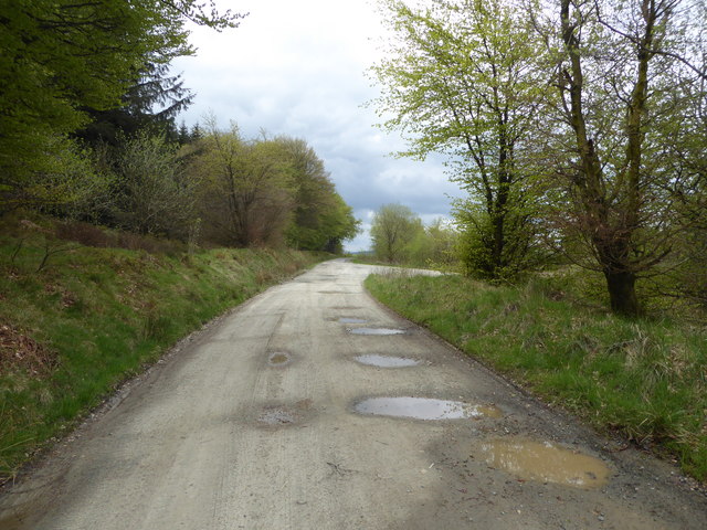
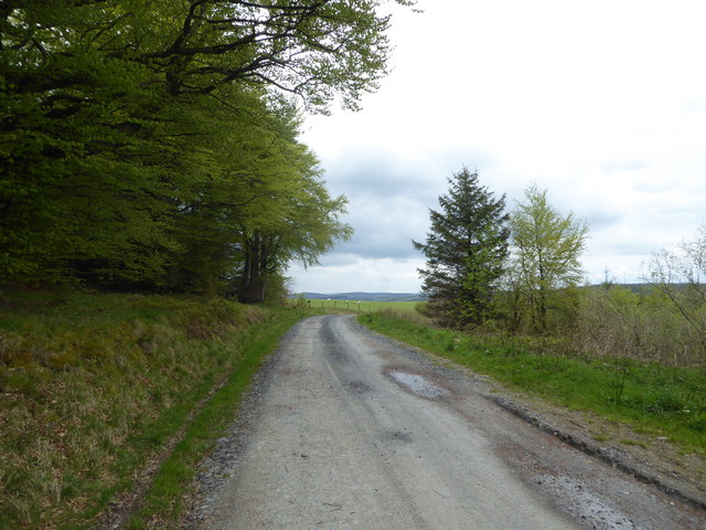
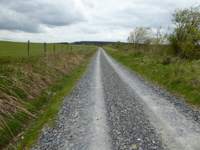
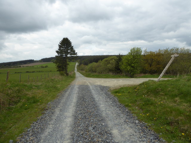
Green Dingle is crisscrossed by a network of walking trails, offering visitors the opportunity to explore the stunning landscape and take in the breathtaking views. The valley is also home to a number of streams and small waterfalls, adding to its natural beauty.
In addition to its natural attractions, Green Dingle is also known for its rich history and cultural heritage. The valley is dotted with historic sites and landmarks, including ancient ruins and traditional Welsh villages.
Overall, Green Dingle is a hidden gem in Montgomeryshire, offering visitors a peaceful retreat from the hustle and bustle of everyday life. Whether you are looking to hike, birdwatch, or simply relax in nature, Green Dingle has something to offer for everyone.
If you have any feedback on the listing, please let us know in the comments section below.
Green Dingle Images
Images are sourced within 2km of 52.488574/-3.1766029 or Grid Reference SO2088. Thanks to Geograph Open Source API. All images are credited.
Green Dingle is located at Grid Ref: SO2088 (Lat: 52.488574, Lng: -3.1766029)
Unitary Authority: Powys
Police Authority: Dyfed Powys
What 3 Words
///january.isolating.merely. Near Mainstone, Shropshire
Nearby Locations
Related Wikis
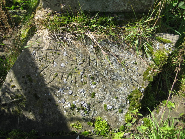
Cantlin Stone
The Cantlin Stone is a rough stone approximately two feet across with an inscription recording the death of one Willam Cantlin in the place where it is...

City, Powys
City is a hamlet in Powys, Wales. == Geography == City is 0.75 miles (1.21 km) from the small village of Sarn (which is situated on the A489 road) and...

Sarn, Powys
Sarn is a small village in Powys, Wales. The village lies on the A489 road 6.4 miles (10.3 km) east of Newtown. There is a bus service through the village...

Great Cefnyberen
Great Cefnyberen (Welsh: Cefnyberen Fawr) is a Grade II timber framed house in the township of Cefnyberen in the historic parish of Kerry, Montgomeryshire...
Nearby Amenities
Located within 500m of 52.488574,-3.1766029Have you been to Green Dingle?
Leave your review of Green Dingle below (or comments, questions and feedback).