Cwm Cwnstab
Valley in Brecknockshire
Wales
Cwm Cwnstab

Cwm Cwnstab is a picturesque valley located in the county of Brecknockshire, Wales. Nestled amidst the rolling hills of the Brecon Beacons National Park, this valley offers breathtaking natural beauty and a tranquil atmosphere to its visitors.
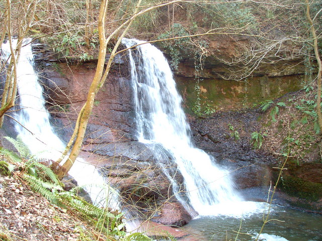
The valley is characterized by its lush green meadows, dense woodlands, and meandering streams. It is home to a diverse range of flora and fauna, making it an ideal destination for nature enthusiasts and wildlife lovers. Visitors can spot a variety of bird species, including red kite and peregrine falcon, as well as rare wildflowers that thrive in this unique ecosystem.
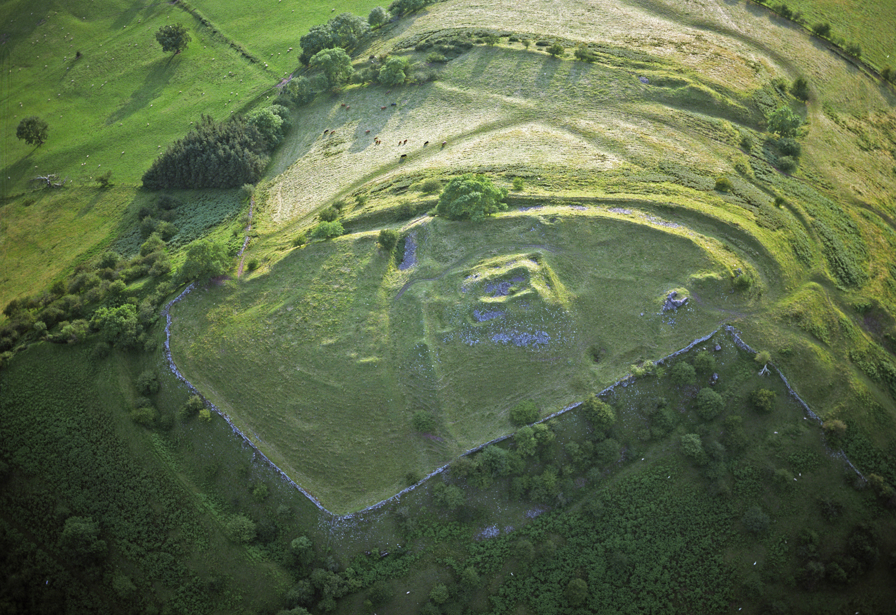
Cwm Cwnstab is also known for its rich cultural heritage and historical significance. The valley is dotted with ancient ruins, such as hillforts and burial sites, which provide a glimpse into the region's ancient past. The remnants of these structures serve as a reminder of the area's historical importance and contribute to its enchanting atmosphere.
The valley offers a range of outdoor activities for adventurous souls. Hiking and walking trails crisscross the landscape, allowing visitors to explore its hidden gems and enjoy breathtaking views from elevated vantage points. The nearby rivers and streams provide opportunities for fishing and kayaking, adding to the recreational options available in Cwm Cwnstab.
Overall, Cwm Cwnstab is a true gem of Brecknockshire. Its natural beauty, rich history, and abundance of outdoor activities make it a must-visit destination for those seeking a peaceful retreat in the heart of Wales.
If you have any feedback on the listing, please let us know in the comments section below.
Cwm Cwnstab Images
Images are sourced within 2km of 51.991106/-3.1655544 or Grid Reference SO2033. Thanks to Geograph Open Source API. All images are credited.


![Rhos Fach common Rhos Fach [Eng:'Little Moor'] is an area of open common land at the base of the Black Mountains scarp. Here the ground has been mown to cut back bracken, which otherwise tends to smother the area.](https://s1.geograph.org.uk/geophotos/07/30/03/7300381_80ad78f4.jpg)


Cwm Cwnstab is located at Grid Ref: SO2033 (Lat: 51.991106, Lng: -3.1655544)
Unitary Authority: Powys
Police Authority: Dyfed Powys
What 3 Words
///begin.beeline.raven. Near Talgarth, Powys
Nearby Locations
Related Wikis


Related Videos


Climbing up Lord Hereford's Knob, near Hay on Wye, Wales. Plus Llanthony Priory and Hay on e
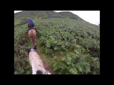
A walk on a blustery day. Horses below Hay Bluff.
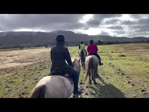
Tregoyd mountain riders March 2020 (auto generated)
An auto generated video by Apple photos of tregoyd mountain riding.
Nearby Amenities
Located within 500m of 51.991106,-3.1655544Have you been to Cwm Cwnstab?
Leave your review of Cwm Cwnstab below (or comments, questions and feedback).