Haggin Hope

Valley in Peeblesshire

Scotland

Haggin Hope

A72 towards Peebles
A72 towards Peebles Credit: Steven Brown

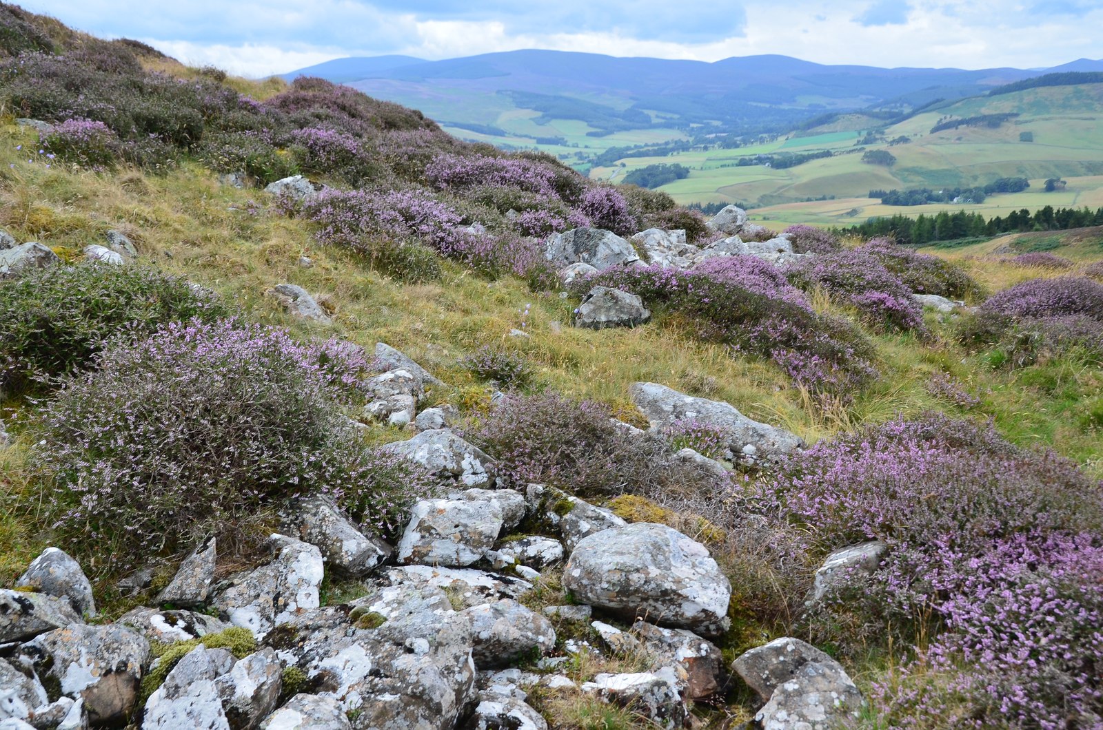
Haggin Hope is a picturesque valley located in Peeblesshire, Scotland. Situated amidst the rolling hills and stunning landscapes of the Scottish Borders, this tranquil area offers a serene retreat for nature lovers and outdoor enthusiasts.

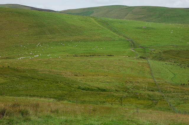
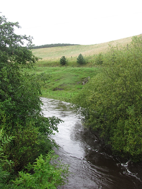
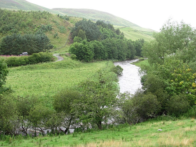
The valley is characterized by its lush green meadows, dotted with vibrant wildflowers during the summer months. The surrounding hills provide a majestic backdrop, with their rugged peaks and dense forests. The crystal-clear streams that flow through the valley add to its charm, creating a soothing atmosphere and providing a habitat for various aquatic species.

Haggin Hope is known for its diverse wildlife, with numerous species of birds, mammals, and insects calling the valley their home. Visitors might catch a glimpse of red deer, foxes, or even the elusive otter, as they explore the area. Birdwatchers will be delighted by the presence of several bird species, including buzzards, kestrels, and songbirds.

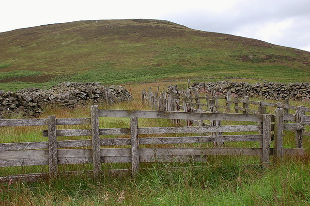
For those seeking outdoor activities, Haggin Hope offers a range of opportunities. The valley is crisscrossed by walking and hiking trails, allowing visitors to explore the area on foot and immerse themselves in its natural beauty. The nearby hills also provide a challenge for mountain bikers and climbers, with various routes catering to different skill levels.

Haggin Hope truly embodies the enchanting Scottish countryside, offering visitors a chance to escape the hustle and bustle of everyday life and connect with nature. Whether it's a leisurely stroll through the meadows, a challenging hike up the hills, or simply soaking in the peaceful surroundings, this valley is a haven for those seeking tranquility and a closer connection with the natural world.

If you have any feedback on the listing, please let us know in the comments section below.

Haggin Hope Images

Images are sourced within 2km of 55.671886/-3.2999163 or Grid Reference NT1842. Thanks to Geograph Open Source API. All images are credited.
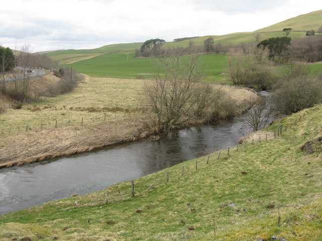
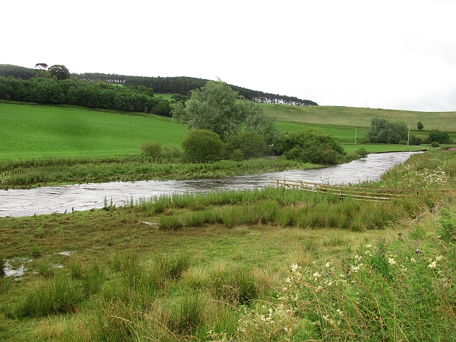
A72 towards Peebles
A72 towards Peebles
The Tarth Water joins the Lyne Water Just 150m from the Tarth Bridge, where the photo was taken, and which carries the road to Romannobridge [B7059] from the A72 Peebles-Blyth Bridge Road. Srevenson Farm and Stevenson Hill are beyond.
The Tarth Water joins the Lyne Water
Just 150m from the Tarth Bridge, where the photo was taken, and which carries the road to Romannobridge [B7059] from the A72 Peebles-Blyth Bridge Road. Srevenson Farm and Stevenson Hill are beyond.
Tarth Bridge Looking downstream, under the B7092; not sure what the function of the raised, false bottom, to the stream bed under the bridge is. Stevenson Hill provides the skyline.
Tarth Bridge
Looking downstream, under the B7092; not sure what the function of the raised, false bottom, to the stream bed under the bridge is. Stevenson Hill provides the skyline.
Stevenson Burn and the Lyne Water valley The burn drains Stevenson and Wood Hills, to the east of the Lyne Water.
Stevenson Burn and the Lyne Water valley
The burn drains Stevenson and Wood Hills, to the east of the Lyne Water.
Stevenson and Stevenson Hill Looking across the valley of the Lyne Water near Tarth Bridge on the B7059.
Stevenson and Stevenson Hill
Looking across the valley of the Lyne Water near Tarth Bridge on the B7059.
The Lyne Water from Hamildean Looking upstream towards Romannobridge, with the A72 on the left.
The Lyne Water from Hamildean
Looking upstream towards Romannobridge, with the A72 on the left.
The Tarth Water Rolling a field between the Tarth and Lyne.
The Tarth Water
Rolling a field between the Tarth and Lyne.
Boundary wall, Wide Hope Shank Upland sheep walks on the ridge between the valleys of the Lyne Water and the Meldon.
Boundary wall, Wide Hope Shank
Upland sheep walks on the ridge between the valleys of the Lyne Water and the Meldon.
Wall junction, Stevenson Hill New fencing has been put in alongside both walls - compare with <a href="https://www.geograph.org.uk/photo/166538">NT1744 : Stevenson Hill</a> taken in 2006. Another addition is a small mast on the top of the hill, probably carrying an anemometer for a wind survey.
Wall junction, Stevenson Hill
New fencing has been put in alongside both walls - compare with NT1744 : Stevenson Hill taken in 2006. Another addition is a small mast on the top of the hill, probably carrying an anemometer for a wind survey.
From the southwest top of Wide Hope Shank Looking from the 462m spot height to the glen of Wester Happrew Burn and the part-forested ridge up to Ladyurd Hill with Penvalla to the left. The distant conical peak is possibly Worm Hill south of Broughton.
From the southwest top of Wide Hope Shank
Looking from the 462m spot height to the glen of Wester Happrew Burn and the part-forested ridge up to Ladyurd Hill with Penvalla to the left. The distant conical peak is possibly Worm Hill south of Broughton.
Storage trailers above Deep Hope There are half a dozen of these old NCL (National Carriers Ltd) road trailers on the hillside, used as storage for sheep feed. The heather moors around Hundleshope Heights are on the skyline.
Storage trailers above Deep Hope
There are half a dozen of these old NCL (National Carriers Ltd) road trailers on the hillside, used as storage for sheep feed. The heather moors around Hundleshope Heights are on the skyline.
Hill pasture above Deep Hope A look back along the fence towards the plantations of Harehope Forest.
Hill pasture above Deep Hope
A look back along the fence towards the plantations of Harehope Forest.
Hillside with sheep On the ridge above Haggin Hope, with mixed grass and boggy land.
Hillside with sheep
On the ridge above Haggin Hope, with mixed grass and boggy land.
Old sheepfold below Black Meldon Wooden fencing within a larger area enclosed by a partly ruined stone wall.
Old sheepfold below Black Meldon
Wooden fencing within a larger area enclosed by a partly ruined stone wall.
Lyne Water In spate but falling after a period of heavy rain.
Lyne Water
In spate but falling after a period of heavy rain.
Lyne Water Looking upstream from Five Mile Bridge. The river is in spate after two days of continuous heavy rain.
Lyne Water
Looking upstream from Five Mile Bridge. The river is in spate after two days of continuous heavy rain.
Lyne Water View upstream with the river in spate.
Lyne Water
View upstream with the river in spate.
You have to watch these electric fences There is an electric fence across this gate, keeping the cattle in check, but the dire warnings are a legacy from the gateposts previous career as a pole supporting power lines (probably 11kV).
You have to watch these electric fences
There is an electric fence across this gate, keeping the cattle in check, but the dire warnings are a legacy from the gateposts previous career as a pole supporting power lines (probably 11kV).
Show me another place!

Haggin Hope is located at Grid Ref: NT1842 (Lat: 55.671886, Lng: -3.2999163)

Unitary Authority: The Scottish Borders

Police Authority: The Lothians and Scottish Borders

What 3 Words

///camps.mediate.corrosive. Near Peebles, Scottish Borders

Nearby Locations

Haggin Hope Scrog Hope

Related Wikis

Tarth Water

The Tarth Water is a river in Peebleshire, in the Scottish Borders. It forms part of the River Tweed system. The river with a total length of 7.1 miles...

Battle of Happrew

The Battle of Happrew was a skirmish which took place around 20 February 1304, during the First War of Scottish Independence. A chevauchée of English knights...

Drochil Castle

Drochil Castle is a ruined castle in the Scottish Borders. It is located above the Lyne Water, 10 kilometres (6.2 mi) north-west of Peebles, and 8 kilometres...

Black Meldon

Black Meldon is a prehistoric site, a hillfort near the village of Lyne and about 4 miles (6 km) west of Peebles, in the Scottish Borders, Scotland. It...

Nearby Amenities

Located within 500m of 55.671886,-3.2999163
Ele: 396
Natural: peak
Lat/Long: 55.6748753/-3.2956377
The data included in this document is from www.openstreetmap.org. The data is made available under ODbL.

Have you been to Haggin Hope?

Leave your review of Haggin Hope below (or comments, questions and feedback).