Black Cleuch

Valley in Peeblesshire

Scotland

Black Cleuch

Talla Nick On the bealach between Lochcraig Head and Firthybrig Head in the Scottish Borders or rather right on the boundary between the Borders and Dumfries and Galloway. Any moisture falling on the left will end up on the east coast at Berwick on Tweed and any on the right will end up on the west coast at Annan on the Solway Firth.
Talla Nick Credit: Adam Ward

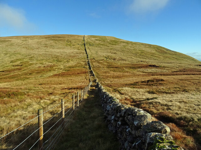
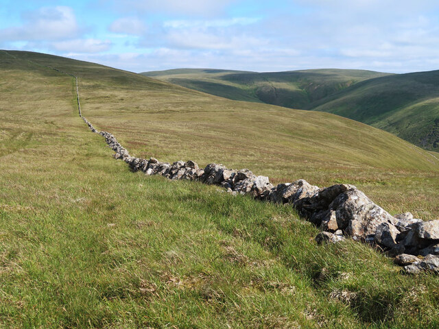
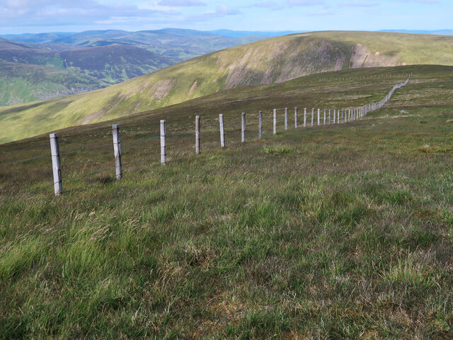
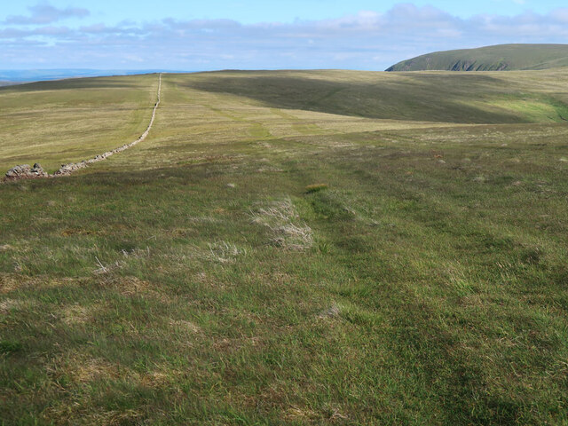
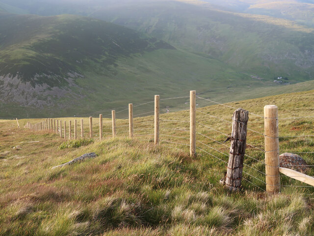
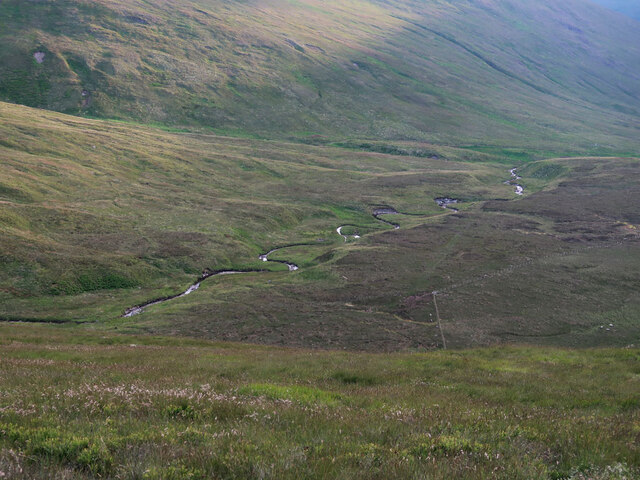
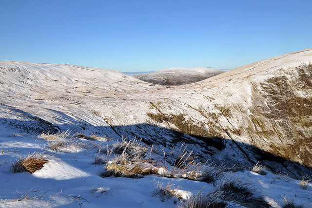
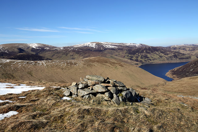
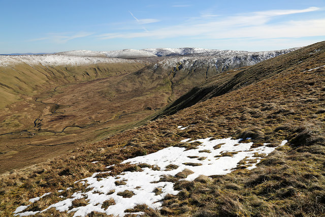
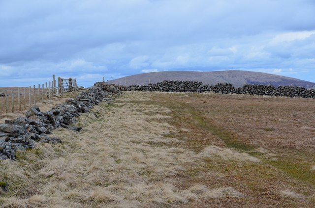
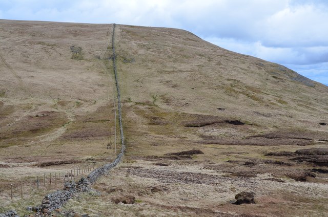
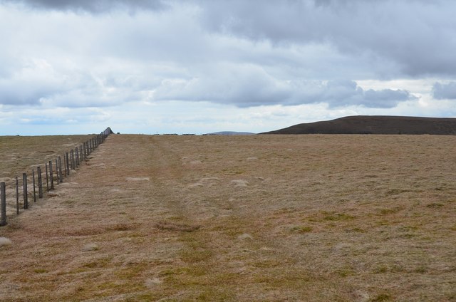
Black Cleuch is a picturesque valley located in Peeblesshire, Scotland. Nestled in the rolling hills of the Scottish Borders, this stunning landscape stretches approximately 10 miles long and is characterized by its rugged beauty and tranquil atmosphere.

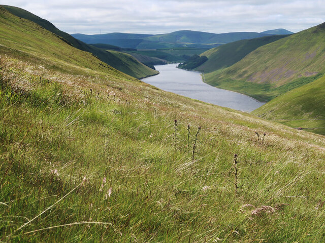
The valley is renowned for its natural features, with the Black Cleuch Burn running through its heart. This meandering stream adds to the charm of the area, creating a sense of serenity as it winds its way through the valley floor. The burn is flanked by lush greenery, including patches of native woodland and open fields, creating a diverse ecosystem that is home to a variety of flora and fauna.

The valley is also notable for its historical significance. Black Cleuch has been inhabited for centuries, and remnants of ancient settlements can still be found in the area. These archaeological sites offer a glimpse into the lives of the people who once called the valley home, providing a fascinating insight into the region's rich history.

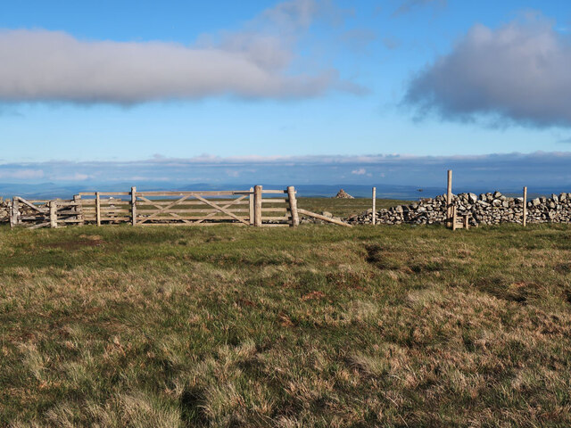
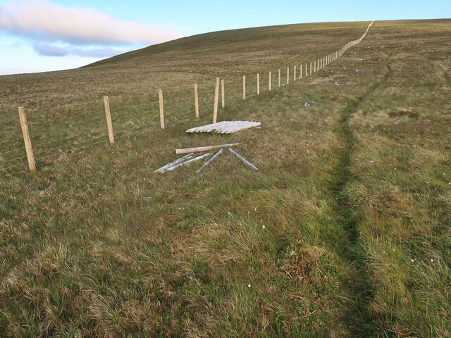
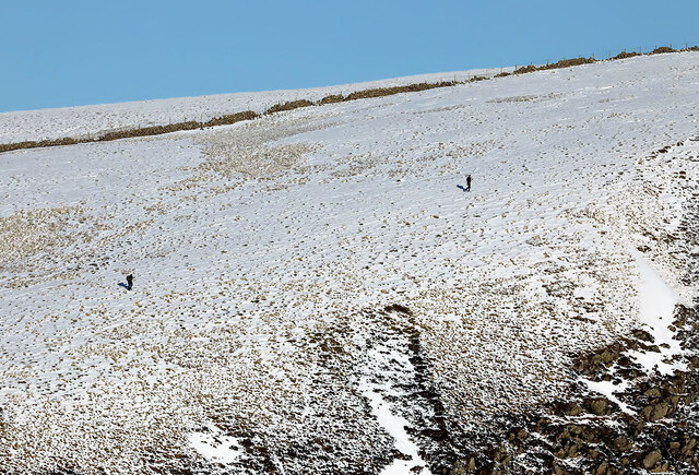
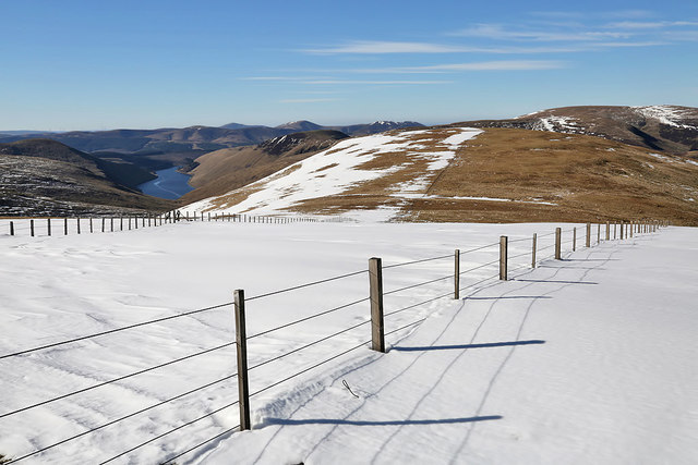
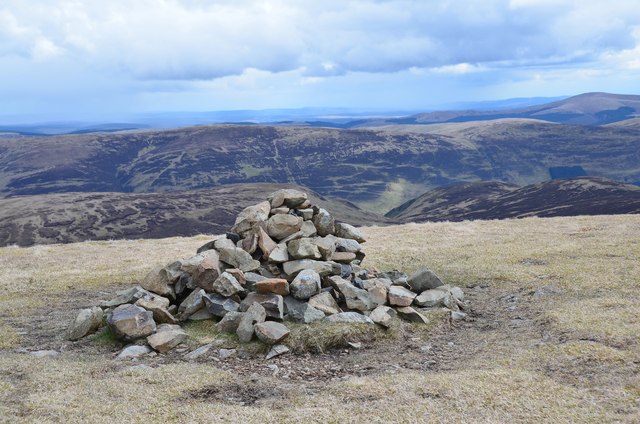
For outdoor enthusiasts, Black Cleuch offers a range of recreational activities. Hiking and walking trails crisscross the valley, providing opportunities to explore the stunning surroundings and take in panoramic views of the surrounding hills. The area is also popular with birdwatchers, as it is home to a diverse range of bird species, including red grouse and peregrine falcons.

In conclusion, Black Cleuch in Peeblesshire is a captivating valley that combines natural beauty, historical significance, and outdoor recreational opportunities. Whether it be exploring its ancient settlements, hiking its scenic trails, or simply enjoying the peaceful ambiance, Black Cleuch offers something for everyone to appreciate and enjoy.

If you have any feedback on the listing, please let us know in the comments section below.

Black Cleuch Images

Images are sourced within 2km of 55.454386/-3.3258167 or Grid Reference NT1618. Thanks to Geograph Open Source API. All images are credited.

Talla Nick On the bealach between Lochcraig Head and Firthybrig Head in the Scottish Borders or rather right on the boundary between the Borders and Dumfries and Galloway. Any moisture falling on the left will end up on the east coast at Berwick on Tweed and any on the right will end up on the west coast at Annan on the Solway Firth.
Talla Nick
On the bealach between Lochcraig Head and Firthybrig Head in the Scottish Borders or rather right on the boundary between the Borders and Dumfries and Galloway. Any moisture falling on the left will end up on the east coast at Berwick on Tweed and any on the right will end up on the west coast at Annan on the Solway Firth.
Northern slope of Carlavin Hill A steep 250m ascent to the summit plateau. Looking towards Talla Reservoir.
Northern slope of Carlavin Hill
A steep 250m ascent to the summit plateau. Looking towards Talla Reservoir.
Drystane dyke from Carlavin Hill to Molls Cleuch Dod An old dyke across the high moorland.
Drystane dyke from Carlavin Hill to Molls Cleuch Dod
An old dyke across the high moorland.
Fence on Molls Cleuch Dod Between the summit and Talla Craigs. Looking towards Nickies Knowe.
Fence on Molls Cleuch Dod
Between the summit and Talla Craigs. Looking towards Nickies Knowe.
Drystane dyke and ATV tracks on Molls Cleuch Dod Looking towards Firthybrig Head.
Drystane dyke and ATV tracks on Molls Cleuch Dod
Looking towards Firthybrig Head.
Gate and style near Lochcraig Head summit The cairn beyond the gate is not at the highest point it is at a good viewpoint above Loch Skene.
Gate and style near Lochcraig Head summit
The cairn beyond the gate is not at the highest point it is at a good viewpoint above Loch Skene.
New fence on Talla East Side The boundary of the Talla and Gameshope area managed by the Border Forest Trust, see <a href="https://www.geograph.org.uk/photo/7209729">NT1420 : Border Forest Trust information board at Talla Water</a>.
New fence on Talla East Side
The boundary of the Talla and Gameshope area managed by the Border Forest Trust, see NT1420 : Border Forest Trust information board at Talla Water.
New fence on Nickies Knowe Looking down the steep slopes to the Megget Water and Meggethead the white building on the right. The fence is on the boundary of the Talla and Gameshope area managed by the Border Forest Trust, see <a href="https://www.geograph.org.uk/photo/7209729">NT1420 : Border Forest Trust information board at Talla Water</a>.
New fence on Nickies Knowe
Looking down the steep slopes to the Megget Water and Meggethead the white building on the right. The fence is on the boundary of the Talla and Gameshope area managed by the Border Forest Trust, see NT1420 : Border Forest Trust information board at Talla Water.
Talla Water Looking down from the lower slopes on Nickies Knowe.
Talla Water
Looking down from the lower slopes on Nickies Knowe.
Walkers on Loch Craig This telephoto shot was taken from Mid Craig on a beautiful January day.
Walkers on Loch Craig
This telephoto shot was taken from Mid Craig on a beautiful January day.
Winter conditions on Mid Craig This is a view from Mid Craig to the col between Firthybrig Head and Lochcraig Head.
Winter conditions on Mid Craig
This is a view from Mid Craig to the col between Firthybrig Head and Lochcraig Head.
Snow on Talla East Side This is a view towards Nickies Knowe with Talla Reservoir on the far left. There were large patches of snow on the tops on a lovely March day for hill walking.
Snow on Talla East Side
This is a view towards Nickies Knowe with Talla Reservoir on the far left. There were large patches of snow on the tops on a lovely March day for hill walking.
A cairn on Five Cairns Hill Megget Reservoir is in the right background.
A cairn on Five Cairns Hill
Megget Reservoir is in the right background.
On the lower southeast slopes of Five Cairns Hill The view straight ahead is to Red Scar on Lochcraig Head <a href="https://www.geograph.org.uk/photo/1496701">NT1818 : Red Scar on Lochcraig Rig</a> with the Winterhope Burn down on the left.
On the lower southeast slopes of Five Cairns Hill
The view straight ahead is to Red Scar on Lochcraig Head NT1818 : Red Scar on Lochcraig Rig with the Winterhope Burn down on the left.
Fence junction, Firthybrig Head Fences and walls a short distance N of the spot height of 766m. On the skyline is Broad Law (840m) with its communications mast.
Fence junction, Firthybrig Head
Fences and walls a short distance N of the spot height of 766m. On the skyline is Broad Law (840m) with its communications mast.
West slope of Lochcraig Head Once across the boggy col of Talla Nick, 100m of ascent will deposit you on the summit plateau.
West slope of Lochcraig Head
Once across the boggy col of Talla Nick, 100m of ascent will deposit you on the summit plateau.
Cairn, Lochcraig Head A cairn on the southern edge of the summit plateau. The valley of the Tail Burn is just to the right of the cairn.
Cairn, Lochcraig Head
A cairn on the southern edge of the summit plateau. The valley of the Tail Burn is just to the right of the cairn.
Summit of Lochcraig Head The summit is somewhere in this minuscule rise in the plateau, appearing as two separate 800m contour rings.
Summit of Lochcraig Head
The summit is somewhere in this minuscule rise in the plateau, appearing as two separate 800m contour rings.
Show me another place!

Black Cleuch is located at Grid Ref: NT1618 (Lat: 55.454386, Lng: -3.3258167)

Unitary Authority: The Scottish Borders

Police Authority: The Lothians and Scottish Borders

What 3 Words

///highly.smokers.blank. Near Ettrick, Scottish Borders

Related Wikis

Loch Skeen

Loch Skeen or Loch Skene is a loch in Dumfries and Galloway in the south of Scotland. It is located about 10 miles to the north-east of Moffat and feeds...

Talla Water

Talla Water is a river in the Scottish Borders area of Scotland, near Tweedsmuir. It feeds the Talla Reservoir, and is a tributary of the River Tweed....

White Coomb

White Coomb is a hill in the Moffat Hills range, part of the Southern Uplands of Scotland. Its broad summit is the highest point in the range and the registration...

Dob's Linn

Dob's Linn is a small steep valley in Dumfries and Galloway, just north of the A708 road between Moffat and Selkirk, in Scotland. It is part of the Grey...

Have you been to Black Cleuch?

Leave your review of Black Cleuch below (or comments, questions and feedback).