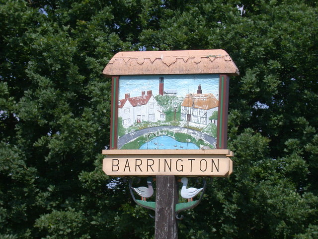
Barrington
Settlement in Cambridgeshire South Cambridgeshire
England
Barrington
Barrington is a quaint village located in the county of Cambridgeshire, England. Situated approximately 7 miles southwest of the city of Cambridge, it falls under the administrative district of South Cambridgeshire. The village is nestled amidst the picturesque countryside, offering breathtaking views and a serene atmosphere.
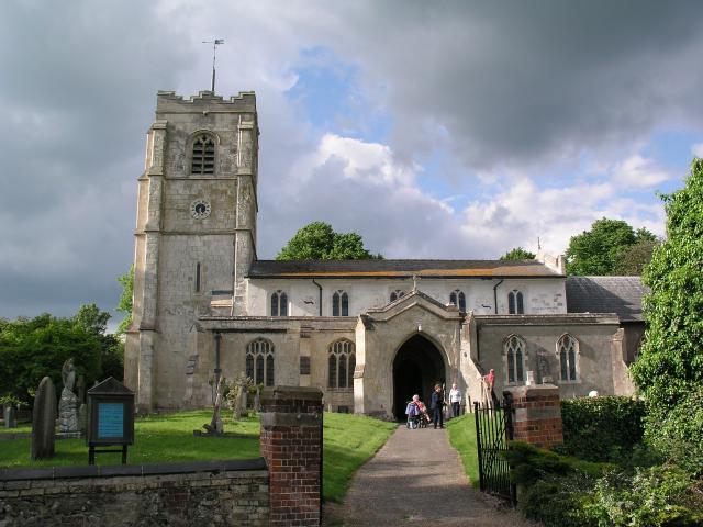
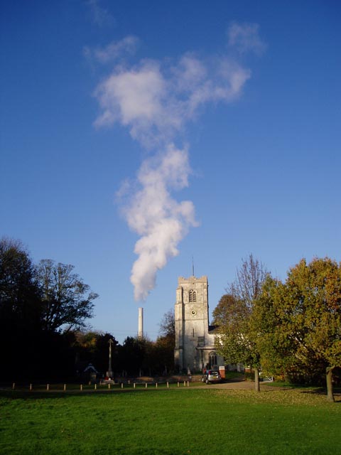
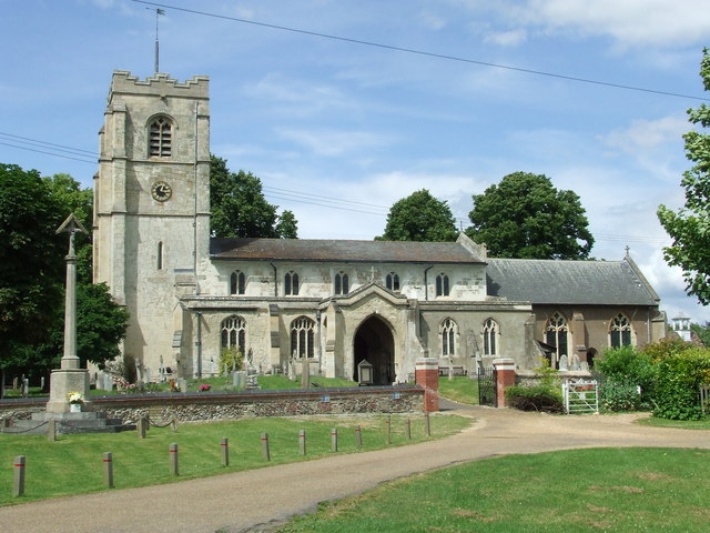
Known for its historical significance, Barrington boasts a rich heritage dating back centuries. The centerpiece of the village is the magnificent All Saints Church, a Grade I listed building that dates back to the 14th century. The church features stunning architectural details, including a beautiful tower and a striking stained glass window.
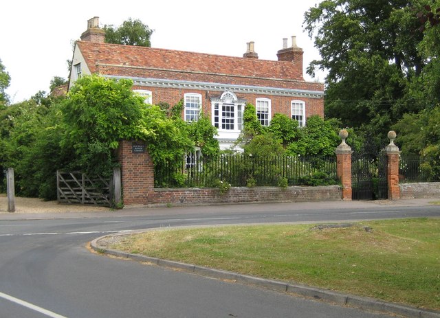
Barrington is also home to the renowned National Trust property, Barrington Court. This Elizabethan manor house and gardens are a popular attraction, drawing visitors from near and far. The house is a fine example of Tudor architecture and is surrounded by stunning landscaped gardens, complete with a tranquil lake.
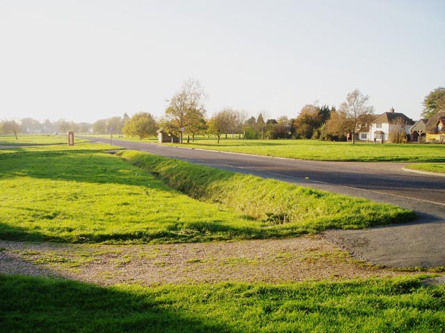
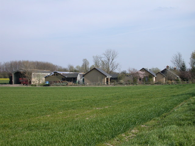
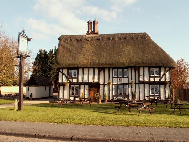
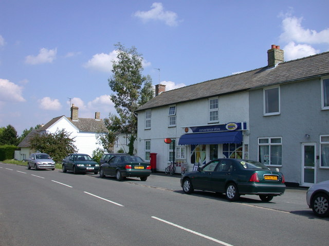
The village itself exudes charm with its traditional thatched cottages, well-manicured gardens, and picturesque village green. It offers a range of amenities, including a village hall, a primary school, and a local pub, providing a close-knit community feel.
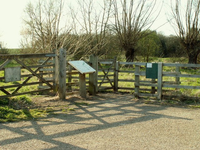
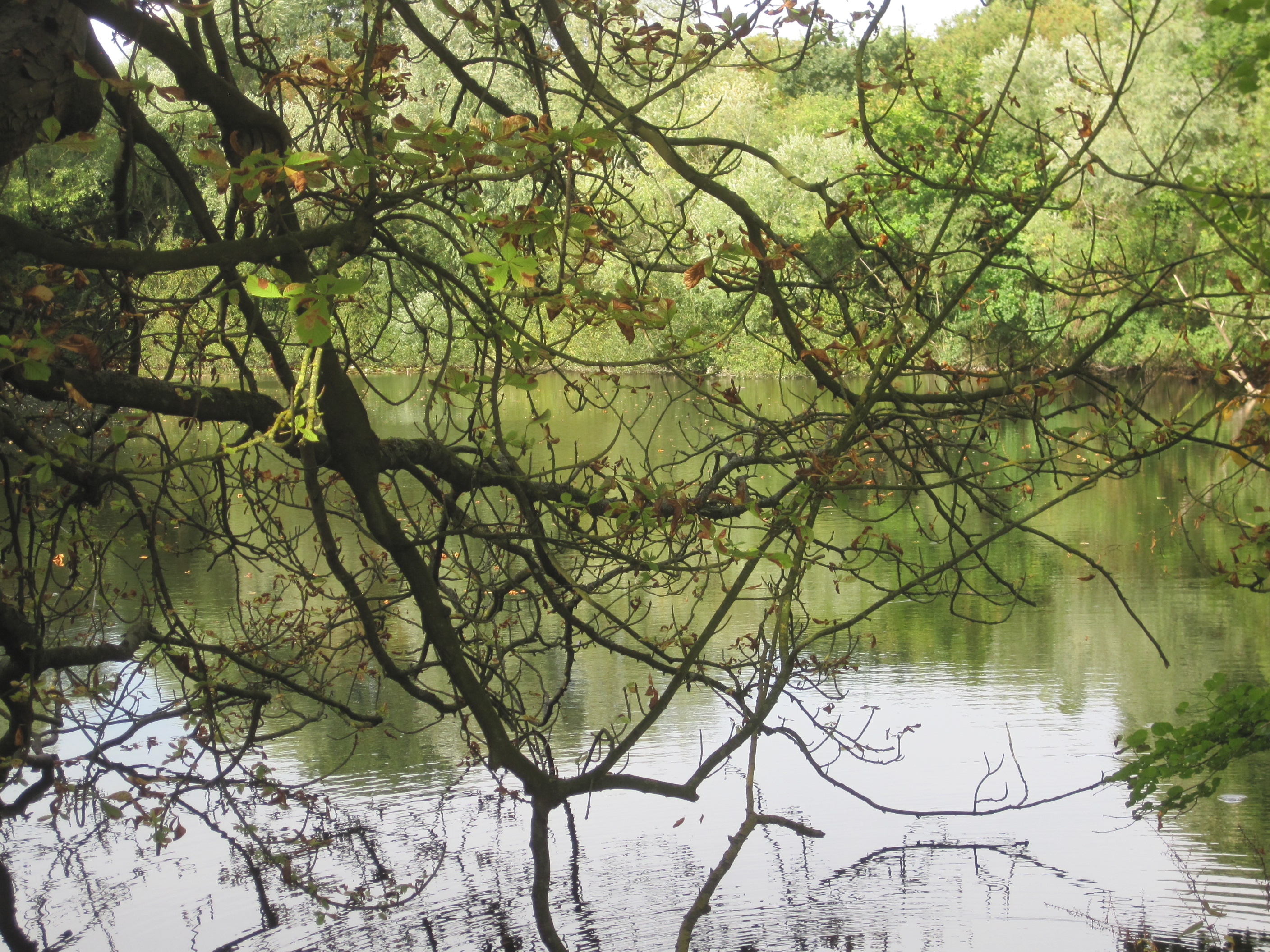
Barrington is a haven for nature lovers, with numerous walking and cycling trails in the surrounding countryside. The nearby River Cam offers opportunities for boating and fishing, adding to the outdoor recreational options available to residents and visitors alike.
Overall, Barrington is a delightful village that seamlessly blends history, natural beauty, and a strong sense of community, making it an idyllic destination for those seeking a tranquil and picturesque English countryside experience.
If you have any feedback on the listing, please let us know in the comments section below.
Barrington Images
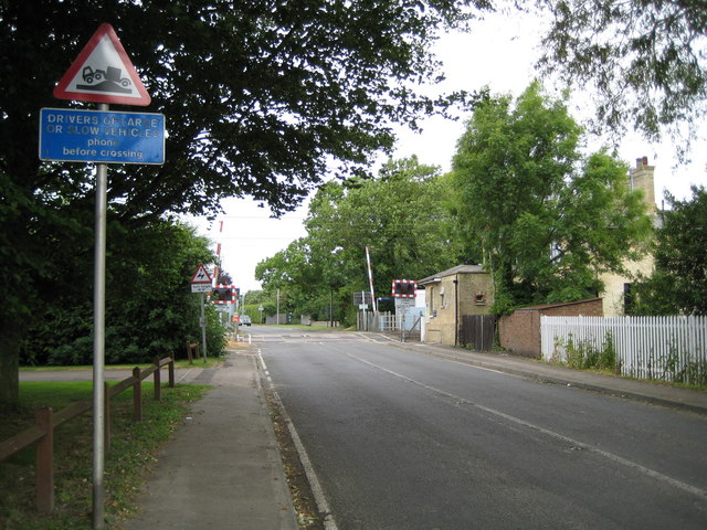
Images are sourced within 2km of 52.127473/0.034948 or Grid Reference TL3949. Thanks to Geograph Open Source API. All images are credited.
Barrington is located at Grid Ref: TL3949 (Lat: 52.127473, Lng: 0.034948)
Administrative County: Cambridgeshire
District: South Cambridgeshire
Police Authority: Cambridgeshire
What 3 Words
///flasks.resort.messaging. Near Haslingfield, Cambridgeshire
Nearby Locations
Related Wikis

Barrington, Cambridgeshire
Barrington is a small village and civil parish in the South Cambridgeshire district of Cambridgeshire, England. The village is about 7 miles (11 km) south...
Barrington Pit
Barrington Pit is a 3.8-hectare (9.4-acre) geological Site of Special Scientific Interest near Barrington in Cambridgeshire. It is a Geological Conservation...

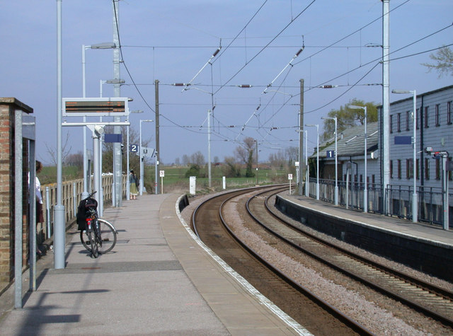
Shepreth railway station
Shepreth railway station serves the village of Shepreth in Cambridgeshire, England. The station is on the Cambridge Line, 49 miles 67 chains (49.84 miles...

Barrington Chalk Pit
Barrington Chalk Pit is a 97.1-hectare (240-acre) geological Site of Special Scientific Interest near Barrington in Cambridgeshire. It is a Geological...
Nearby Amenities
Located within 500m of 52.127473,0.034948Have you been to Barrington?
Leave your review of Barrington below (or comments, questions and feedback).