Bicknoller Combe
Valley in Somerset Somerset West and Taunton
England
Bicknoller Combe
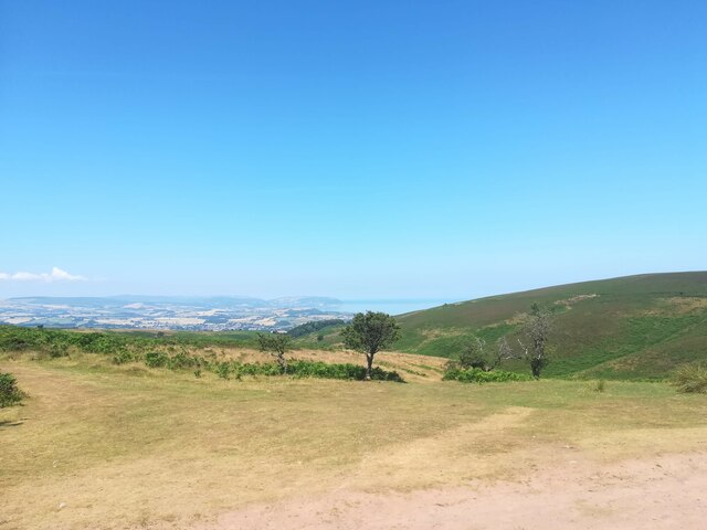
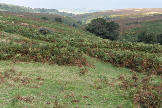
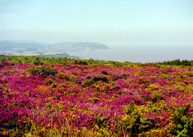
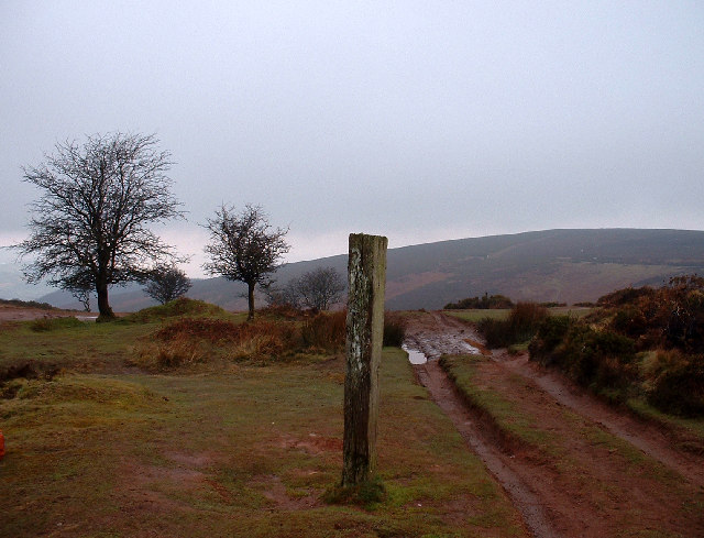
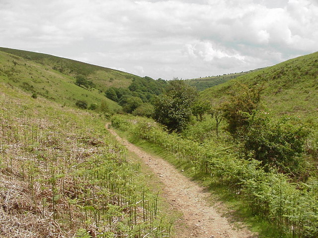
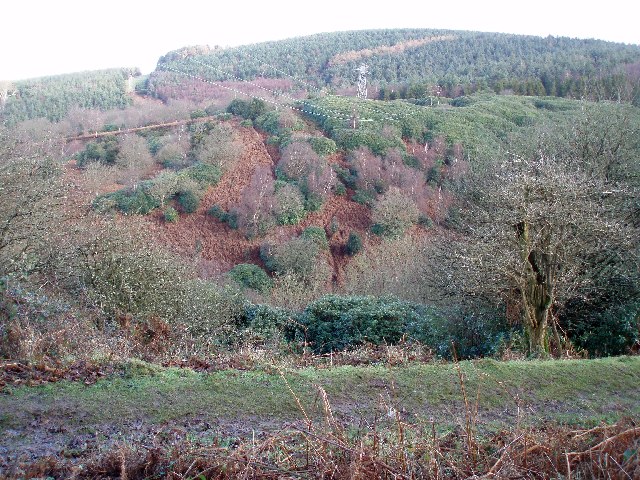
Bicknoller Combe is a picturesque valley located in the county of Somerset, England. Situated within the Quantock Hills Area of Outstanding Natural Beauty, this valley boasts stunning natural landscapes and an array of wildlife.
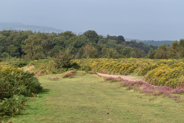
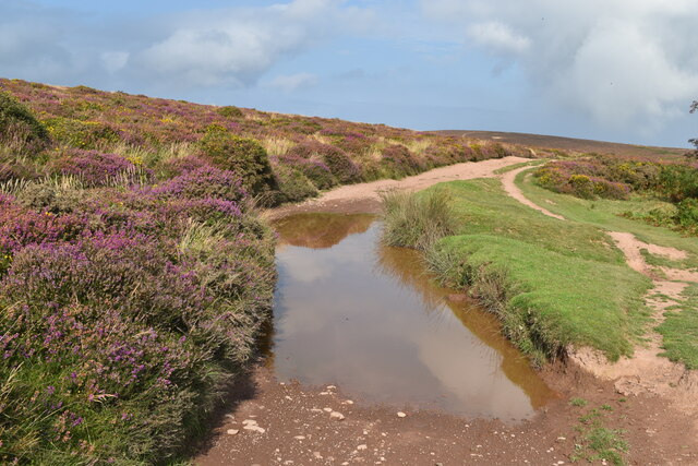
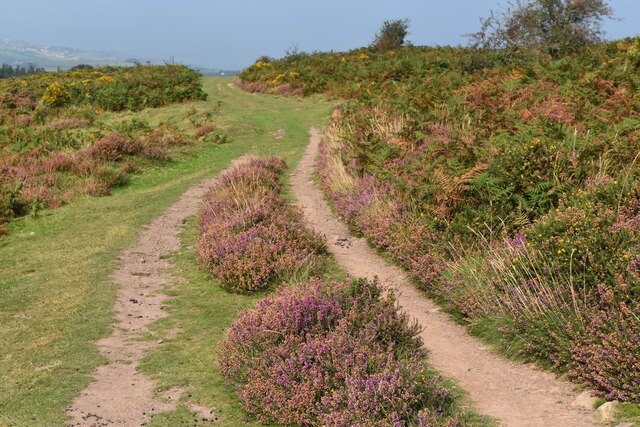
The valley is carved by the Bicknoller Brook, which meanders through the combe, creating an enchanting atmosphere. Lush greenery dominates the surroundings, with dense woodland covering the valley slopes and providing a habitat for a diverse range of plant and animal species.
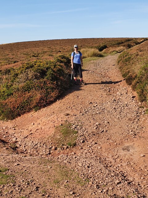
The valley is a popular destination for nature enthusiasts and hikers, offering a network of footpaths and trails that wind through the countryside. The trails offer breathtaking views of the surrounding hills and valleys, making it a haven for photographers and nature lovers alike.
In addition to its natural beauty, Bicknoller Combe is also home to historical landmarks. At the head of the valley sits Bicknoller Castle, a 13th-century fortified manor house that once served as a defense against invaders. The castle offers a glimpse into the region's rich history and provides an opportunity to explore its architectural heritage.
Throughout the year, events and activities are organized in the valley, including guided walks, wildlife spotting excursions, and educational workshops. These activities allow visitors to further appreciate the natural and cultural significance of Bicknoller Combe.
Overall, Bicknoller Combe offers a charming retreat from the hustle and bustle of everyday life. Its captivating scenery, diverse wildlife, and historical attractions make it a must-visit destination for those seeking tranquility and a deeper connection with nature.
If you have any feedback on the listing, please let us know in the comments section below.
Bicknoller Combe Images
Images are sourced within 2km of 51.151484/-3.2581545 or Grid Reference ST1239. Thanks to Geograph Open Source API. All images are credited.


Bicknoller Combe is located at Grid Ref: ST1239 (Lat: 51.151484, Lng: -3.2581545)
Administrative County: Somerset
District: Somerset West and Taunton
Police Authority: Avon and Somerset
What 3 Words
///perform.look.outs. Near Williton, Somerset
Nearby Locations
Related Wikis
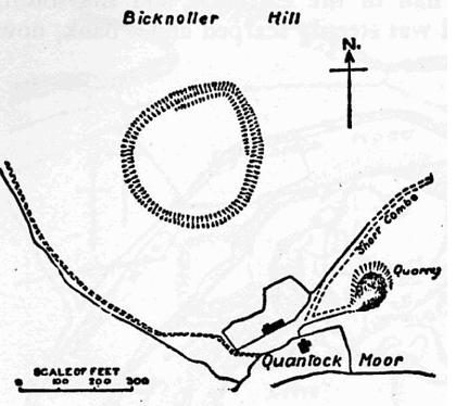
Trendle Ring
Trendle Ring (or Trundle Ring) is a late prehistoric earthwork on the Quantock Hills near Bicknoller in Somerset, England. It is a Scheduled Monument....

Bicknoller
Bicknoller is a village and civil parish on the western slopes of the Quantock Hills in the English county of Somerset. Administratively, the civil parish...

Quantock Hills
The Quantock Hills west of Bridgwater in Somerset, England, consist of heathland, oak woodlands, ancient parklands and agricultural land. They were England...

Church of St Etheldreda, West Quantoxhead
The Church of St Etheldreda, also known as the Church of St Audries, is a Church of England parish church in West Quantoxhead, Somerset, England. Designed...

Halsway Manor
Halsway Manor (also known as Halsway Court) is a manor house in Halsway, Somerset. It is owned by the Halsway Manor Society who operate the manor as a...

West Quantoxhead
West Quantoxhead is a small village and civil parish in the Somerset West and Taunton district of Somerset, England. It lies on the route of the Coleridge...

St Audries Park
St Audries Park Manor house at West Quantoxhead in the Quantock Hills of Somerset, England, was the manor house of the Acland family. It was rebuilt on...

Stogumber railway station
Stogumber railway station is a station in Kingswood, Somerset, England which serves the nearby village of Stogumber. It was opened by the West Somerset...
Have you been to Bicknoller Combe?
Leave your review of Bicknoller Combe below (or comments, questions and feedback).