Bicknoller Hill
Hill, Mountain in Somerset Somerset West and Taunton
England
Bicknoller Hill
Bicknoller Hill is a prominent hill located in the county of Somerset, England. Situated in the Quantock Hills, it is a part of the designated Area of Outstanding Natural Beauty (AONB) in the region. With an elevation of approximately 265 meters (869 feet), Bicknoller Hill is not considered a mountain but rather a hill of moderate height.
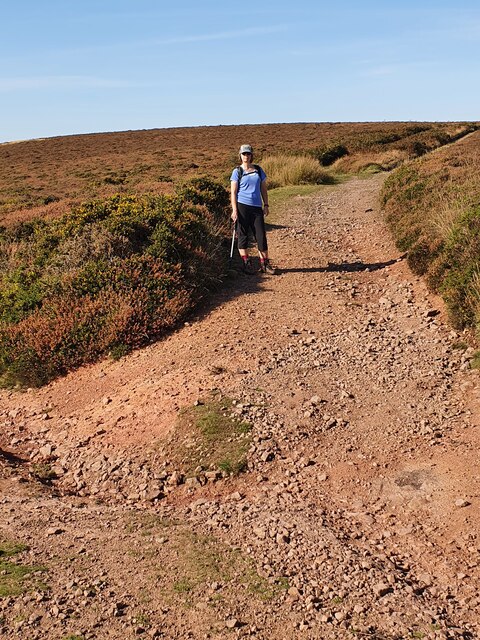
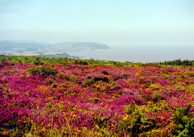
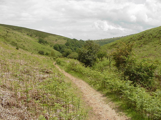
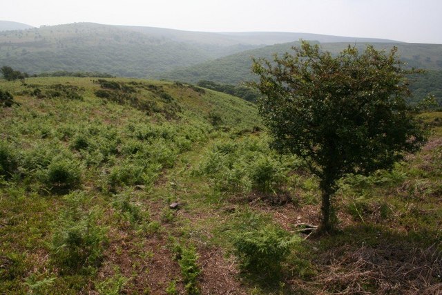
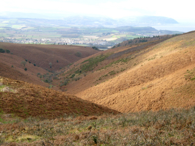
The summit of Bicknoller Hill offers breathtaking panoramic views of the surrounding countryside, including the Bristol Channel and the distant Welsh hills. It is a popular spot for walkers, hikers, and nature enthusiasts who come to explore the Quantock Hills, known for their diverse flora and fauna.
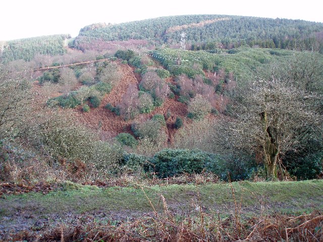
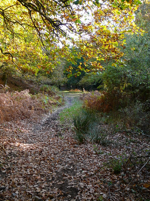
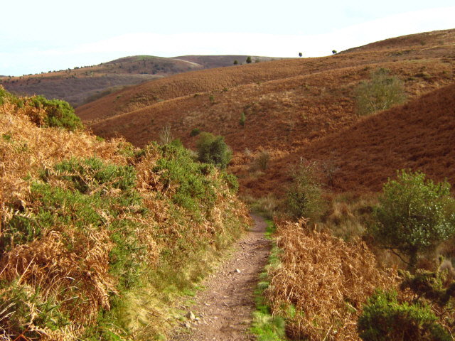
The hill is covered primarily in heather and grassland, with scattered patches of woodland. It is home to a variety of wildlife, including birds of prey such as kestrels and buzzards, as well as deer and other small mammals.
Bicknoller Hill has a rich history, with evidence of Neolithic and Bronze Age settlements in the area. The hillside is dotted with ancient burial mounds and earthworks, reflecting its significance in the past. There are also remnants of old mining activities, which were prevalent during the Industrial Revolution.
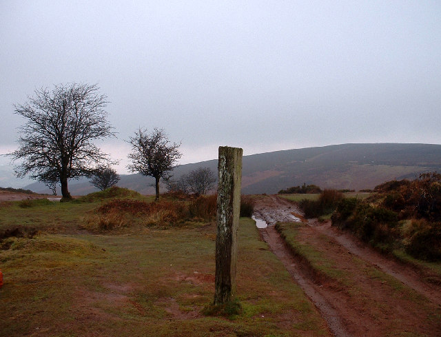
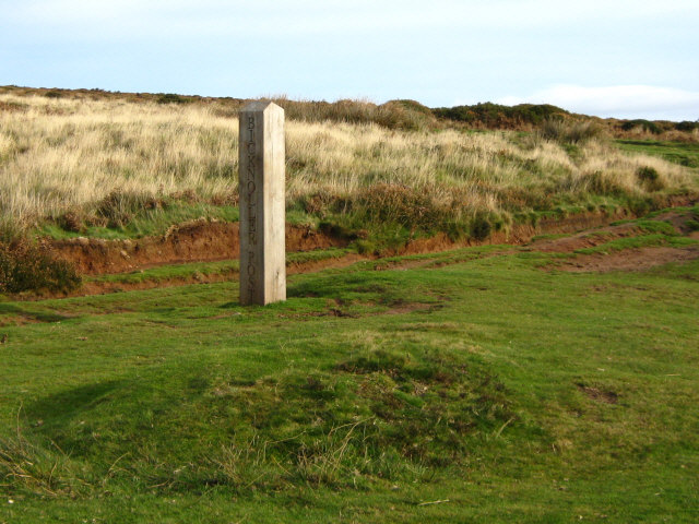
The hill is easily accessible via footpaths and trails, allowing visitors to explore its natural beauty and historical landmarks. Bicknoller Hill is an ideal destination for those seeking a peaceful retreat in nature or an opportunity to delve into the region's fascinating history.
If you have any feedback on the listing, please let us know in the comments section below.
Bicknoller Hill Images
Images are sourced within 2km of 51.14913/-3.2571612 or Grid Reference ST1239. Thanks to Geograph Open Source API. All images are credited.


Bicknoller Hill is located at Grid Ref: ST1239 (Lat: 51.14913, Lng: -3.2571612)
Administrative County: Somerset
District: Somerset West and Taunton
Police Authority: Avon and Somerset
What 3 Words
///leafing.flushed.firepower. Near Williton, Somerset
Nearby Locations
Related Wikis
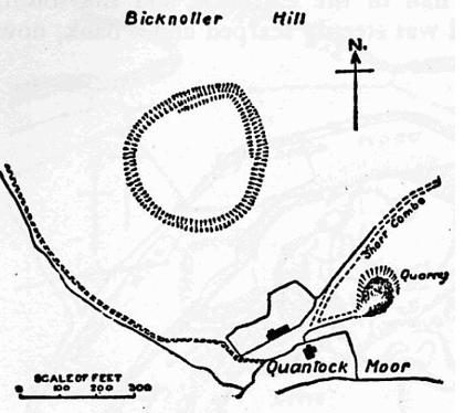
Trendle Ring
Trendle Ring (or Trundle Ring) is a late prehistoric earthwork on the Quantock Hills near Bicknoller in Somerset, England. It is a Scheduled Monument....

Bicknoller
Bicknoller is a village and civil parish on the western slopes of the Quantock Hills in the English county of Somerset. Administratively, the civil parish...

Quantock Hills
The Quantock Hills west of Bridgwater in Somerset, England, consist of heathland, oak woodlands, ancient parklands and agricultural land. They were England...

Halsway Manor
Halsway Manor (also known as Halsway Court) is a manor house in Halsway, Somerset. It is owned by the Halsway Manor Society who operate the manor as a...
Related Videos
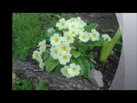
The First Visit to The Quantock Hills in 2022, Part I
At last after several months and throughout the Winter I arrive on the Quantock Hills at Bicknoller. Its a warm sunny Spring day in ...
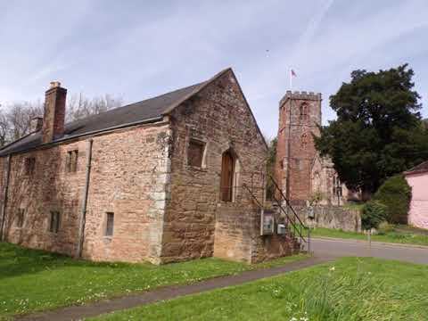
West Bagborough to Crowcombe Hike Part VI Arrival At Crowcombe Holy Ghost by Sheila, April 24th 2024
I manage to have a brief wander around the churchyard of the Holy Ghost but the inside of the church was busy with cleaners and ...

Bicknoller Circular Hike, Part XII,'Back To Bicknoller Via Weacombe Hill, Oct 9th 2021
The end of a beautiful hike folks--------I do have a previous hike to add another time---the alternative West Bagborough walk along ...

A Bicknoller Circular Hike, Part I , Skirting the Trendle Ring
An early start from WSM to Taunton on the train and then linking up with the bus to Bicknoller..Arriving about 8am giving me plenty ...
Have you been to Bicknoller Hill?
Leave your review of Bicknoller Hill below (or comments, questions and feedback).