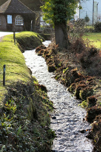
Esson's Gully
Valley in Somerset Somerset West and Taunton
England
Esson's Gully

Esson's Gully, also known as Esson's Valley, is a picturesque and charming area located in Somerset, England. Situated amidst the rolling hills of the Somerset countryside, the gully is a tranquil and idyllic spot that has captivated visitors for centuries.
The gully is characterized by its lush greenery, with a variety of trees, including oak, beech, and ash, lining its slopes. The valley floor is carpeted with vibrant wildflowers during the spring and summer months, creating a stunning display of colors. A small stream meanders through the gully, adding to its natural beauty.
Esson's Gully is renowned for its biodiversity, with a rich array of plant and animal species calling it home. The diverse habitat supports a wide range of wildlife, including woodland birds, butterflies, and small mammals. Nature enthusiasts can often spot deer and foxes roaming freely in the area.
The gully is a popular destination for outdoor activities such as hiking and picnicking. Well-maintained footpaths wind their way through the valley, offering visitors the opportunity to explore its captivating landscapes. Additionally, the gully is intersected by a network of walking trails, providing access to the surrounding countryside and nearby attractions.
Esson's Gully offers a peaceful retreat for those seeking to escape the hustle and bustle of urban life. Its serene atmosphere, combined with its natural beauty and abundant wildlife, make it a must-visit destination for nature lovers and those looking to experience the tranquility of the Somerset countryside.
If you have any feedback on the listing, please let us know in the comments section below.
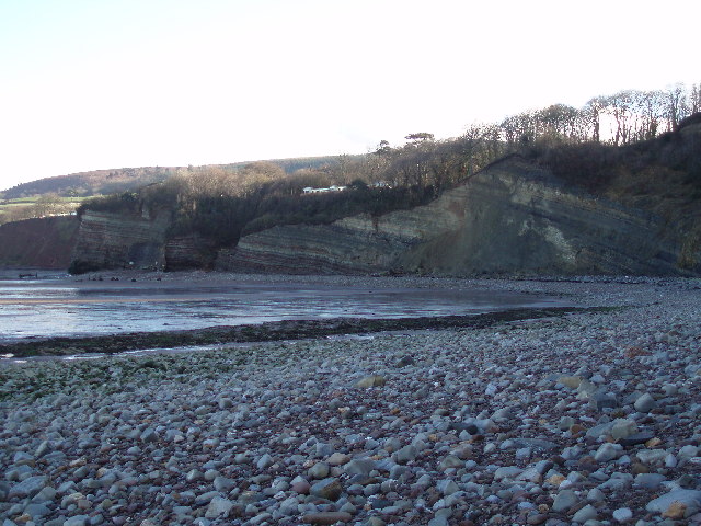
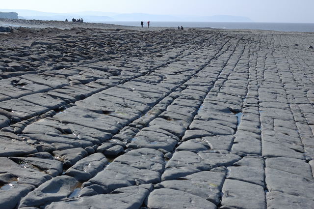
Esson's Gully Images
Images are sourced within 2km of 51.185244/-3.2604045 or Grid Reference ST1243. Thanks to Geograph Open Source API. All images are credited.


Esson's Gully is located at Grid Ref: ST1243 (Lat: 51.185244, Lng: -3.2604045)
Administrative County: Somerset
District: Somerset West and Taunton
Police Authority: Avon and Somerset
What 3 Words
///cape.liked.interacts. Near Williton, Somerset
Nearby Locations
Related Wikis

East Quantoxhead
East Quantoxhead is a village in the district of Somerset West and Taunton, 3 miles (5 km) from West Quantoxhead, 4 miles (6 km) east of Williton, and...
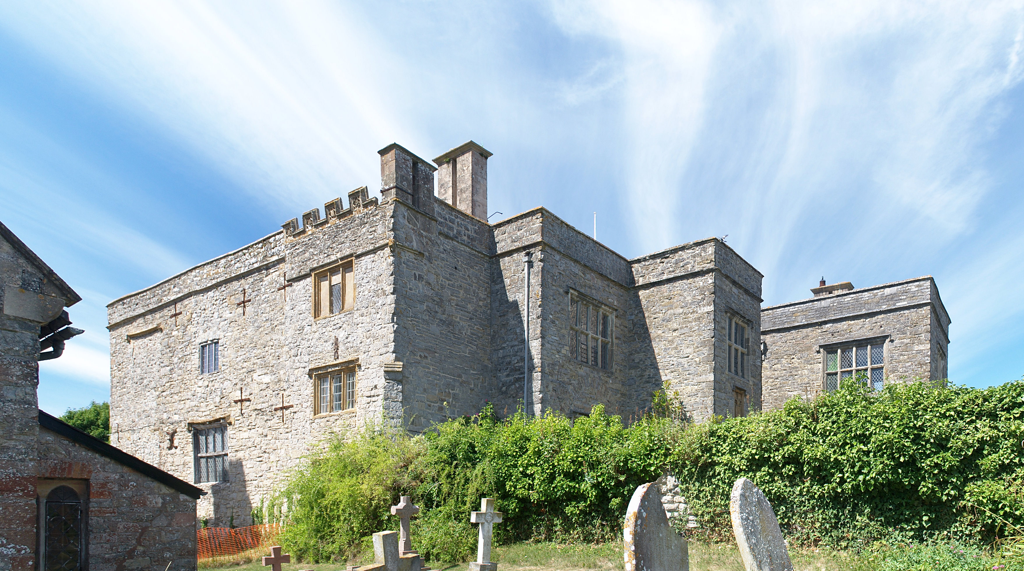
Court House, East Quantoxhead
The Court House in East Quantoxhead, Somerset, England has a medieval tower and other parts of the building which date from the 17th century. It has been...

St Audries Park
St Audries Park Manor house at West Quantoxhead in the Quantock Hills of Somerset, England, was the manor house of the Acland family. It was rebuilt on...

Church of St Mary, East Quantoxhead
The Anglican Church of St Mary in East Quantoxhead, Somerset, England was built in the 14th century. It is a Grade II* listed building. == History == The...

West Quantoxhead
West Quantoxhead is a small village and civil parish in the Somerset West and Taunton district of Somerset, England. It lies on the route of the Coleridge...

Church of St Etheldreda, West Quantoxhead
The Church of St Etheldreda, also known as the Church of St Audries, is a Church of England parish church in West Quantoxhead, Somerset, England. Designed...
River Holford
The River Holford is located in the east Quantock Hills Area of Outstanding Natural Beauty in Somerset England. It is approximately 4.5 miles (7 km) long...

Oil Retort House
Oil Retort House is a Grade II listed building in Kilve, Somerset, United Kingdom. == History == In 1924, the Shalime Company was formed to exploit shale...
Nearby Amenities
Located within 500m of 51.185244,-3.2604045Have you been to Esson's Gully?
Leave your review of Esson's Gully below (or comments, questions and feedback).