Blue Ben
Coastal Feature, Headland, Point in Somerset Somerset West and Taunton
England
Blue Ben

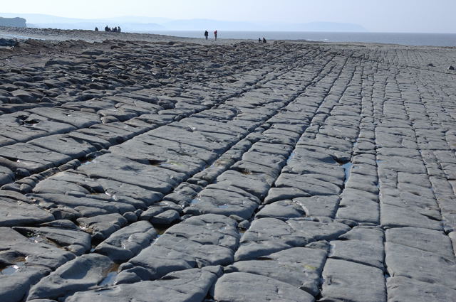
Blue Ben is a prominent coastal feature located in Somerset, England. It is a headland that extends out into the Bristol Channel, forming a distinctive point along the coastline. The name "Blue Ben" is derived from the blue hue that the headland takes on during certain lighting conditions.
The headland is situated between the popular seaside towns of Minehead and Watchet. It is known for its rugged and dramatic cliffs, which provide stunning views of the surrounding area. The cliffs are made up of layers of sedimentary rocks, offering a glimpse into the geological history of the region.
Blue Ben is a popular destination for nature enthusiasts and hikers due to its scenic beauty and diverse wildlife. The headland is home to a variety of bird species, including gulls, cormorants, and peregrine falcons. It also boasts a rich marine ecosystem, with seals and dolphins often spotted in the waters below.
Visitors can explore the headland by following a network of coastal paths that wind their way along the cliffs. These paths offer breathtaking vistas of the surrounding countryside and the Bristol Channel. Additionally, there are several lookout points along the headland where visitors can pause and take in the panoramic views.
Blue Ben is a significant landmark in Somerset, both for its natural beauty and its historical importance. It has been a point of reference for sailors and fishermen for centuries and continues to captivate locals and tourists alike with its striking scenery and tranquil atmosphere.
If you have any feedback on the listing, please let us know in the comments section below.
Blue Ben Images
Images are sourced within 2km of 51.187467/-3.2561008 or Grid Reference ST1243. Thanks to Geograph Open Source API. All images are credited.


Blue Ben is located at Grid Ref: ST1243 (Lat: 51.187467, Lng: -3.2561008)
Administrative County: Somerset
District: Somerset West and Taunton
Police Authority: Avon and Somerset
What 3 Words
///windows.blogging.dripping. Near Watchet, Somerset
Nearby Locations
Related Wikis

East Quantoxhead
East Quantoxhead is a village in the district of Somerset West and Taunton, 3 miles (5 km) from West Quantoxhead, 4 miles (6 km) east of Williton, and...
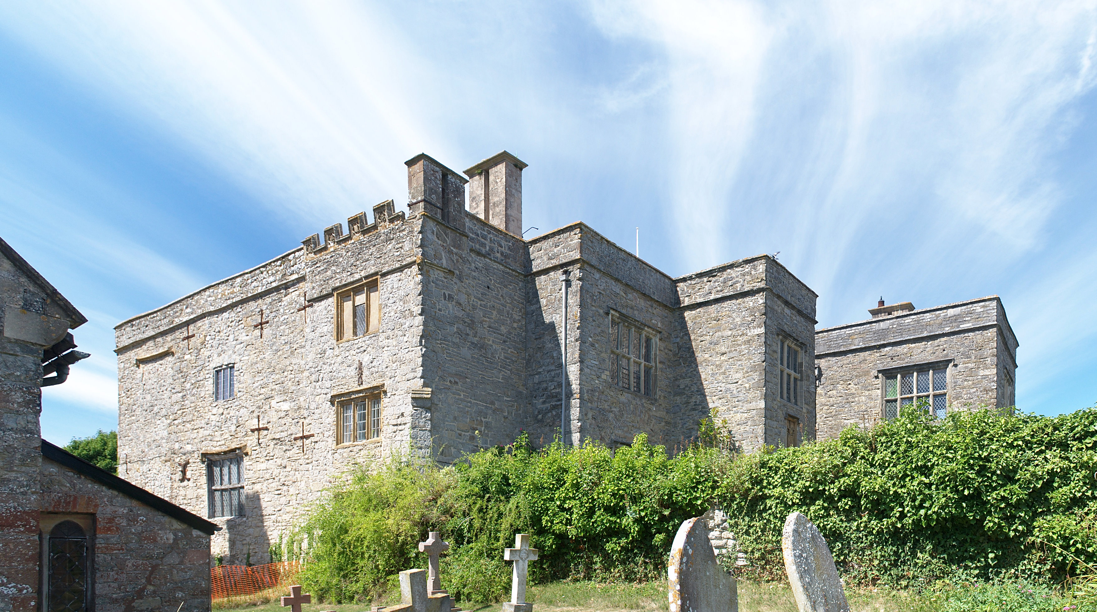
Court House, East Quantoxhead
The Court House in East Quantoxhead, Somerset, England has a medieval tower and other parts of the building which date from the 17th century. It has been...

Church of St Mary, East Quantoxhead
The Anglican Church of St Mary in East Quantoxhead, Somerset, England was built in the 14th century. It is a Grade II* listed building. == History == The...

St Audries Park
St Audries Park Manor house at West Quantoxhead in the Quantock Hills of Somerset, England, was the manor house of the Acland family. It was rebuilt on...

West Quantoxhead
West Quantoxhead is a small village and civil parish in the Somerset West and Taunton district of Somerset, England. It lies on the route of the Coleridge...
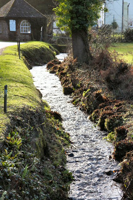
River Holford
The River Holford is located in the east Quantock Hills Area of Outstanding Natural Beauty in Somerset England. It is approximately 4.5 miles (7 km) long...

Church of St Etheldreda, West Quantoxhead
The Church of St Etheldreda, also known as the Church of St Audries, is a Church of England parish church in West Quantoxhead, Somerset, England. Designed...

Oil Retort House
Oil Retort House is a Grade II listed building in Kilve, Somerset, United Kingdom. == History == In 1924, the Shalime Company was formed to exploit shale...
Nearby Amenities
Located within 500m of 51.187467,-3.2561008Have you been to Blue Ben?
Leave your review of Blue Ben below (or comments, questions and feedback).