Knock Cleuch
Valley in Peeblesshire
Scotland
Knock Cleuch
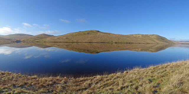
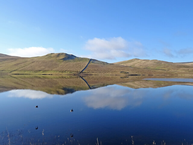
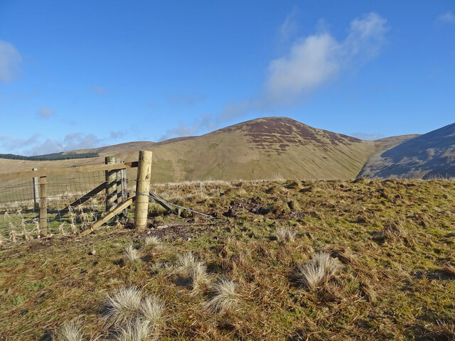
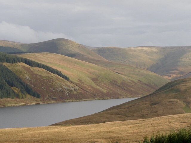
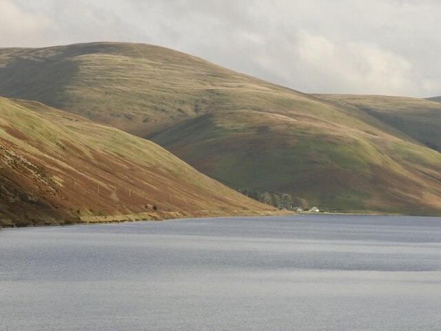
Knock Cleuch, located in Peeblesshire, Scotland, is a picturesque valley nestled within the stunning Scottish Borders. This enchanting valley is known for its natural beauty, serene atmosphere, and rich history.
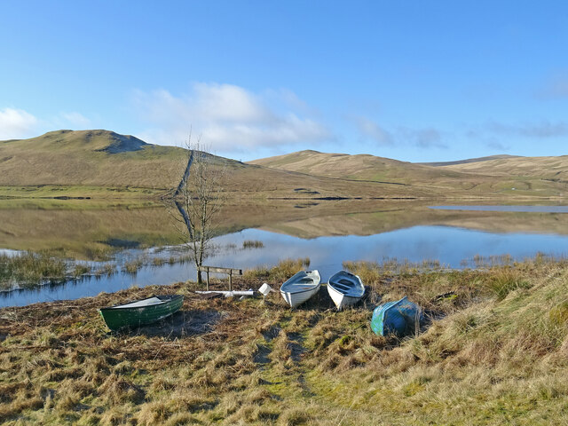
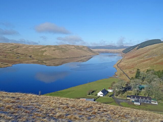
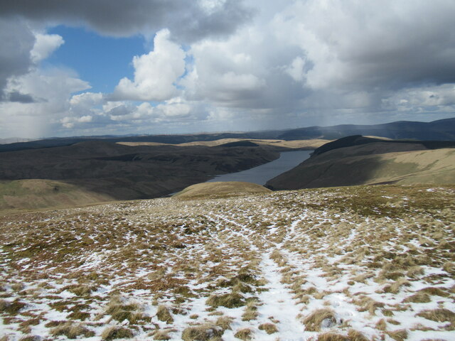
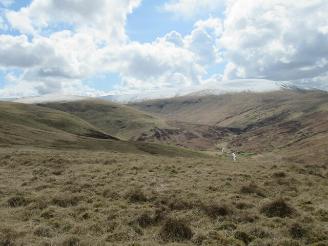
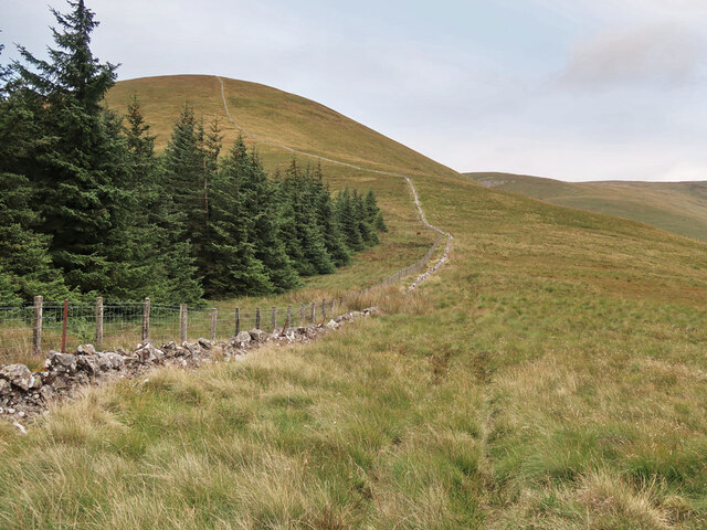
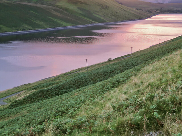
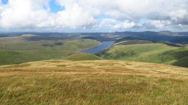
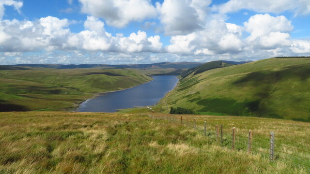
Situated amidst rolling hills and breathtaking landscapes, Knock Cleuch is a haven for nature enthusiasts and outdoor lovers. The valley is adorned with lush greenery, meandering streams, and a variety of wildlife, making it an ideal spot for hiking, birdwatching, or simply taking a leisurely stroll. The tranquility of the surroundings offers visitors a chance to escape the hustle and bustle of everyday life and immerse themselves in the serenity of nature.
Knock Cleuch also holds a significant historical background. The valley has witnessed the passage of time, with remnants of ancient settlements and landmarks scattered throughout the area. Visitors can explore the ruins of old castles and fortresses, imagining the stories of the past that unfolded within these walls.
The valley is easily accessible, with well-maintained trails and footpaths leading to various points of interest. Along the way, visitors can enjoy breathtaking panoramic views of the surrounding hills and valleys, creating a truly mesmerizing experience.
In conclusion, Knock Cleuch is a hidden gem in Peeblesshire, Scotland, offering visitors a chance to reconnect with nature, indulge in outdoor activities, and delve into the rich historical tapestry of the region. Whether seeking solitude or adventure, this valley provides a captivating escape for anyone looking to explore the natural wonders and heritage of the Scottish Borders.
If you have any feedback on the listing, please let us know in the comments section below.
Knock Cleuch Images
Images are sourced within 2km of 55.445407/-3.41574 or Grid Reference NT1017. Thanks to Geograph Open Source API. All images are credited.


Knock Cleuch is located at Grid Ref: NT1017 (Lat: 55.445407, Lng: -3.41574)
Unitary Authority: The Scottish Borders
Police Authority: The Lothians and Scottish Borders
What 3 Words
///paying.space.mealtime. Near Moffat, Dumfries & Galloway
Nearby Locations
Related Wikis

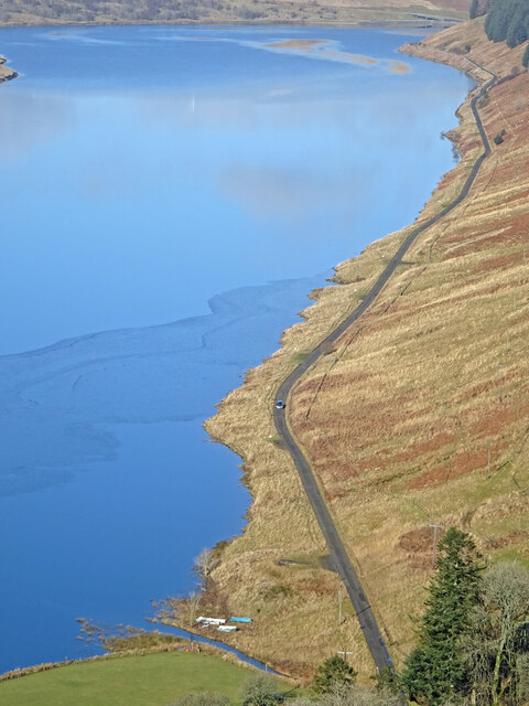
Fruid Reservoir
Fruid is a small reservoir in the Scottish Borders area of Scotland, UK, near Menzion. It is formed by damming the Fruid Water, and supplements the contents...

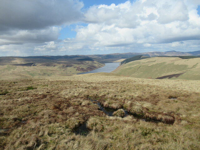
Moffat Hills
The Moffat Hills are a range of hills in the Southern Uplands of Scotland. They form a roughly triangular shape with a west facing side, a north facing...

Talla Water
Talla Water is a river in the Scottish Borders area of Scotland, near Tweedsmuir. It feeds the Talla Reservoir, and is a tributary of the River Tweed....

Hart Fell
Hart Fell is a hill in the Moffat Hills range, part of the Southern Uplands of Scotland. It lies north of the town of Moffat on the border with the Scottish...

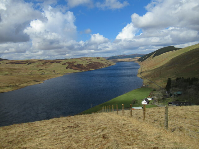
Talla Reservoir
Talla Reservoir, located a mile from Tweedsmuir, Scottish Borders, Scotland, is an earth-work dam fed by Talla Water. The reservoir is supplemented by...

Fruid Water
Fruid Water is a river in the Scottish Borders area of Scotland. The valley it occupies has been dammed to form the Fruid Reservoir. The river is a tributary...

Victoria Lodge railway station
Victoria Lodge railway station served the village of Tweedsmuir, Scottish Borders, Scotland from 1897 to 1905 on the Symington, Biggar and Broughton Railway...
Hawkshaw, Scottish Borders
Hawkshaw is a pair of semi-detached houses on the River Tweed, two miles southwest of Tweedsmuir in the Scottish Borders. Historically part of Peeblesshire...
Have you been to Knock Cleuch?
Leave your review of Knock Cleuch below (or comments, questions and feedback).