Gask Glen

Valley in Fife

Scotland

Gask Glen

Road heading north through Bowershall
Road heading north through Bowershall Credit: Rob Purvis

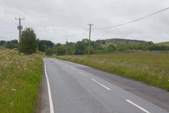
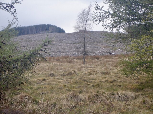
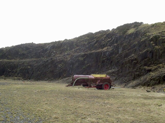
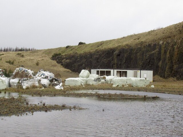
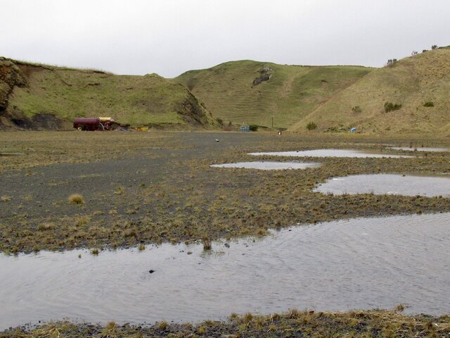
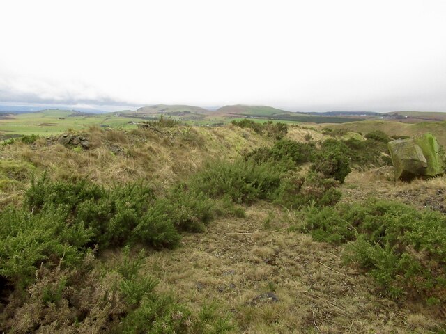
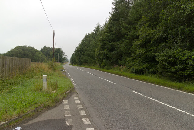
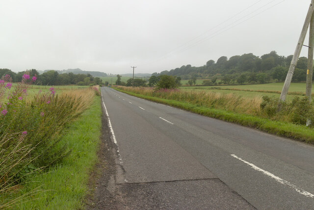
Gask Glen, located in Fife, Scotland, is a picturesque valley that stretches for approximately 6 miles along the course of the Gask Burn. The glen is nestled amidst rolling hills and dense woodlands, offering visitors a tranquil and scenic escape from the bustling urban areas nearby.

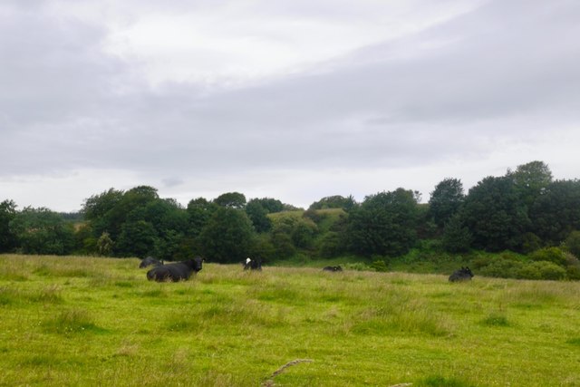
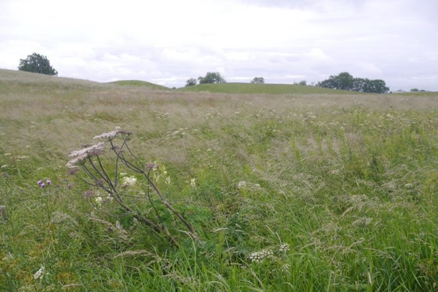
The glen is known for its diverse wildlife and natural beauty. A variety of bird species can be spotted in the area, including buzzards, kestrels, and owls. The woodlands are home to an array of flora and fauna, with wildflowers and moss-covered trees adding to the enchanting atmosphere.

Gask Glen is a popular destination for outdoor enthusiasts, offering numerous walking and hiking trails. The paths wind through the glen, providing stunning views of the surrounding landscape and the opportunity to explore the rich biodiversity of the area. The glen is particularly captivating during the spring and summer months when the flowers are in full bloom and the trees are lush and green.

In addition to its natural beauty, Gask Glen also holds historical significance. The glen is dotted with remnants of ancient settlements, including standing stones and burial mounds, indicating human activity in the area dating back thousands of years. These archaeological sites provide a glimpse into the rich history and cultural heritage of the region.

Overall, Gask Glen in Fife is a captivating and idyllic valley that offers both natural wonders and a glimpse into the past. Whether visitors are seeking a peaceful retreat or an opportunity to explore the outdoors, Gask Glen is sure to leave a lasting impression.

If you have any feedback on the listing, please let us know in the comments section below.

Gask Glen Images

Images are sourced within 2km of 56.121813/-3.4450585 or Grid Reference NT1093. Thanks to Geograph Open Source API. All images are credited.

Road heading north through Bowershall
Cattle, Deanhead
Cattle, Deanhead
Wetland pasture, Bowleys
B914 Passing the site of Grove. Lathalmond Hill in the background.
B914
Passing the site of Grove. Lathalmond Hill in the background.
Lathalmond Hill Hollowed out by quarrying. The quarry is no longer active and there appears to be little human activity.
Lathalmond Hill
Hollowed out by quarrying. The quarry is no longer active and there appears to be little human activity.
Clearfell, Craigencrow Moss Widespread tree harvesting has revealed the mapped crags, long lost in dense woodland.
Clearfell, Craigencrow Moss
Widespread tree harvesting has revealed the mapped crags, long lost in dense woodland.
Quarry, Lathalmond Hill
Quarry, Lathalmond Hill Abandoned bales of plastic meant for recycling.
Quarry, Lathalmond Hill
Abandoned bales of plastic meant for recycling.
Looking out of Lathalmond Quarry
Summit, Lathalmond Hill The hill is quarried and the natural summit may have been lost. Old maps show it to be near the edge of the current rock face.
Summit, Lathalmond Hill
The hill is quarried and the natural summit may have been lost. Old maps show it to be near the edge of the current rock face.
B914 near Norton Farm
B914 near Garlands
B914 near Garlands
Gated track to Roscobie Reservoir
Bowleys Farm
Bowleys Farm
Road, Craiggaveral An attempted logging road which sank into the peat and became a string of ponds, now mapped by the Ordnance Survey (<a href="https://www.geograph.org.uk/photo/4492640">NT0894 : Flooded road</a>). Another road was built on a different alignment and is now dry.
Road, Craiggaveral
An attempted logging road which sank into the peat and became a string of ponds, now mapped by the Ordnance Survey (NT0894 : Flooded road). Another road was built on a different alignment and is now dry.
Roadstone quarry, Craiggaveral Source of whinstone for the recent road improvements in Blairadam Forest.
Roadstone quarry, Craiggaveral
Source of whinstone for the recent road improvements in Blairadam Forest.
Clearfell, Craigencrow Moss
Craiggaveral Surviving trees amongst a vast area of clearfelled plantation.
Craiggaveral
Surviving trees amongst a vast area of clearfelled plantation.
Show me another place!

Gask Glen is located at Grid Ref: NT1093 (Lat: 56.121813, Lng: -3.4450585)

Unitary Authority: Fife

Police Authority: Fife

What 3 Words

///reduce.slug.offers. Near Townhill, Fife

Related Wikis

Scottish Vintage Bus Museum

The Scottish Vintage Bus Museum is a transport museum in Lathalmond, 2.5 miles north of Dunfermline, Fife. The museum is open every Sunday between April...

Lassodie

Lassodie is an abandoned settlement located two miles south-west of Kelty, between Dunfermline and Cowdenbeath, in Fife. == History == The name Lassodie...

Bowershall

Bowershall is a village in Fife, Scotland, UK, situated near Craigluscar Hill, two miles north of Dunfermline, one mile north of Townhill, and to the west...

Black Devon

The Black Devon is a river in Scotland. It rises in the Cleish Hills, specifically the area known as Outh Muir, 1.5 kilometres (0.93 mi) north of Knockhill...

Nearby Amenities

Located within 500m of 56.121813,-3.4450585
Power: pole
Lat/Long: 56.1230665/-3.4383393
Power: pole
Lat/Long: 56.1230585/-3.4390069
Power: pole
Lat/Long: 56.1230244/-3.4402869
Power: pole
Lat/Long: 56.1229709/-3.4415159
Power: pole
Lat/Long: 56.1229174/-3.4428286
Power: pole
Lat/Long: 56.1228719/-3.4441004
Power: pole
Lat/Long: 56.1228343/-3.4454091
Power: pole
Lat/Long: 56.1228309/-3.4464686
Power: pole
Lat/Long: 56.1225919/-3.4477303
Power: pole
Lat/Long: 56.1224451/-3.4483305
Power: pole
Lat/Long: 56.1223439/-3.449043
Power: pole
Lat/Long: 56.1221925/-3.4501638
Power: pole
Lat/Long: 56.1220138/-3.4514458
Power: pole
Lat/Long: 56.1218363/-3.4527075
Power: pole
Lat/Long: 56.1217077/-3.4484754
Power: pole
Lat/Long: 56.1210534/-3.4478997
Power: pole
Lat/Long: 56.1206767/-3.4476078
Power: pole
Lat/Long: 56.120053/-3.4470627
Power: pole
Lat/Long: 56.1198539/-3.4462277
Power: pole
Lat/Long: 56.1196228/-3.4452376
Power: pole
Lat/Long: 56.1194419/-3.444472
Power: pole
Lat/Long: 56.1218796/-3.4528218
The data included in this document is from www.openstreetmap.org. The data is made available under ODbL.

Have you been to Gask Glen?

Leave your review of Gask Glen below (or comments, questions and feedback).