Langthwaite

Settlement in Yorkshire Richmondshire

England

Langthwaite

Bleaberry Gill Ford This is Bleaberry Gill Ford shown under a Hunter Moon.
Bleaberry Gill Ford Credit: John Walton

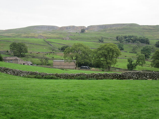
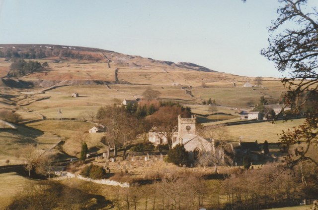
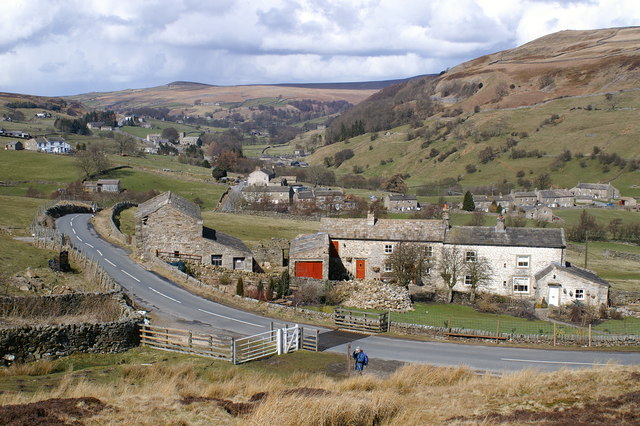
Langthwaite is a small village located in the Richmondshire district of North Yorkshire, England. Situated in the heart of the Yorkshire Dales National Park, Langthwaite offers breathtaking views of the surrounding countryside and a tranquil atmosphere that attracts tourists and nature enthusiasts alike.

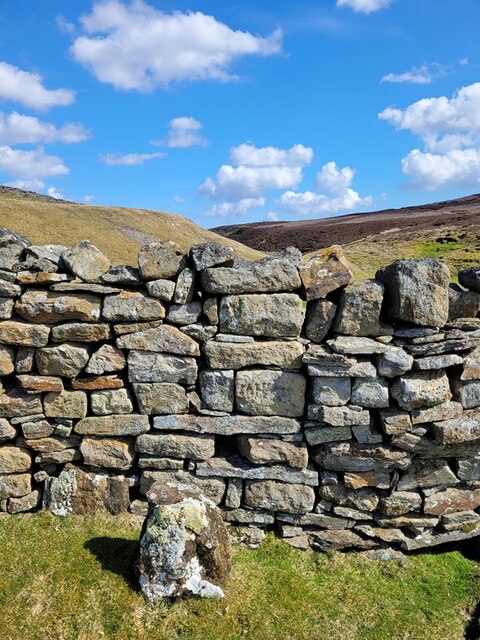
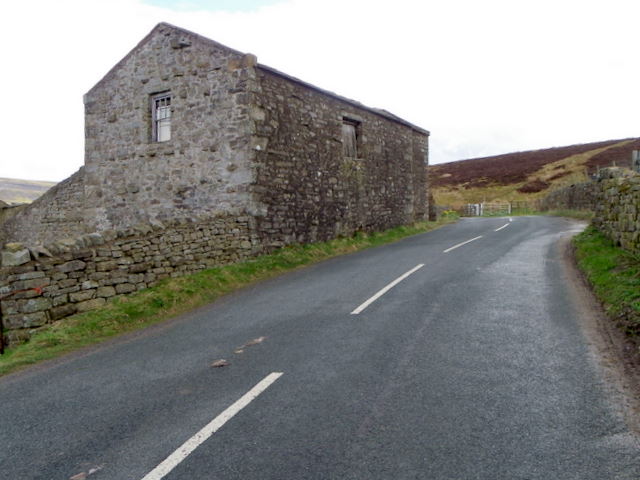
The village is home to approximately 60 residents, and its history can be traced back to the 17th century when it was a center for lead mining. Today, Langthwaite still retains much of its traditional charm with its picturesque stone cottages, narrow lanes, and a quaint village green.

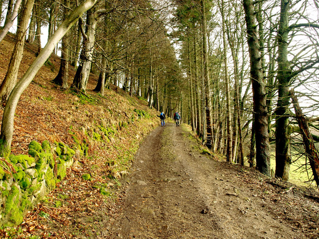
Visitors to Langthwaite can explore the stunning landscape by embarking on one of the many hiking trails that wind through the rolling hills and valleys. The village is also a popular base for cyclists, who can enjoy the challenging routes and stunning scenery of the Yorkshire Dales.

Langthwaite is well-served by a local pub, The Red Lion, which offers a warm welcome to both locals and visitors. The pub provides a cozy atmosphere, hearty meals, and a selection of local ales, making it an ideal spot to relax after a day of outdoor activities.

With its idyllic location and close proximity to other popular Yorkshire Dales attractions, such as the famous Swaledale and the historic market town of Richmond, Langthwaite offers a peaceful retreat for those seeking a break from the hustle and bustle of city life.

If you have any feedback on the listing, please let us know in the comments section below.
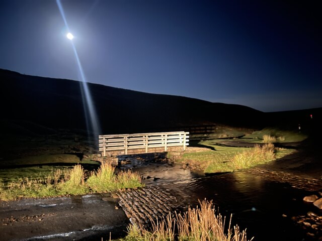
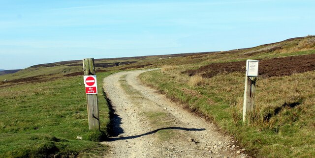
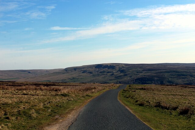
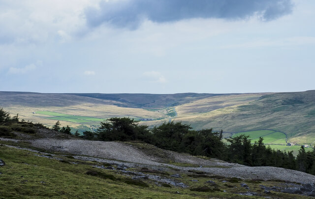
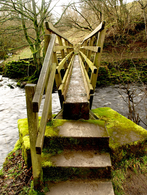
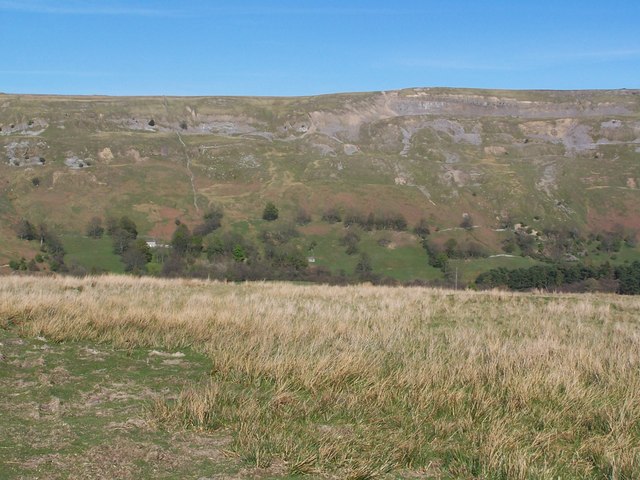
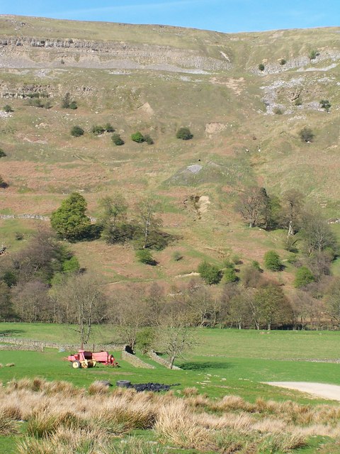
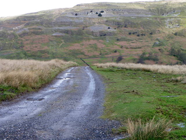
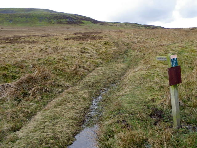
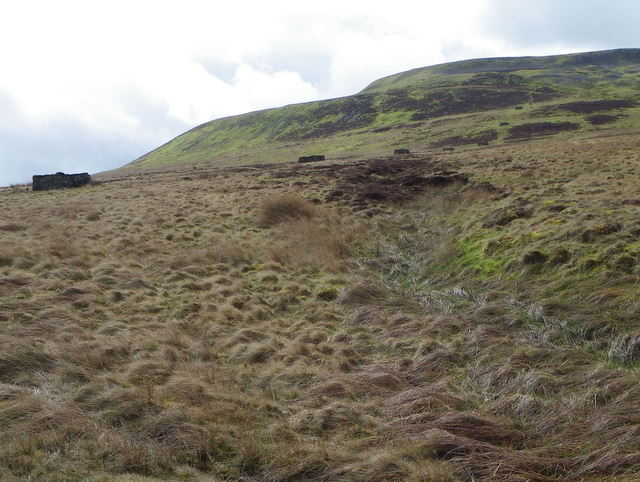
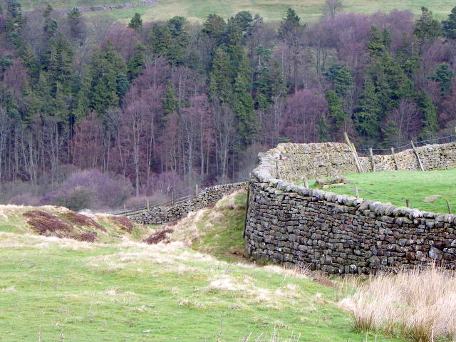
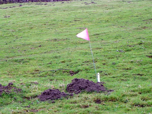
Langthwaite Images

Images are sourced within 2km of 54.416965/-1.995343 or Grid Reference NZ0002. Thanks to Geograph Open Source API. All images are credited.

Bleaberry Gill Ford This is Bleaberry Gill Ford shown under a Hunter Moon.
Bleaberry Gill Ford
This is Bleaberry Gill Ford shown under a Hunter Moon.
Track leading onto Turf Moor Heads away from the moorland road between Arkengarthdale and Low Row
Track leading onto Turf Moor
Heads away from the moorland road between Arkengarthdale and Low Row
On Turf Moor Moorland road between Low Row in Swaledale and Arkengarthdale
On Turf Moor
Moorland road between Low Row in Swaledale and Arkengarthdale
Mine spoil and trees above Arkengarthdale The mine spoil appears to be finally divided and might be crushed material, waste from the initial processing of ore once it was mined. The trees are in the upper part of Tottergill Pasture.
The valley of Shaw Beck is sunlit in the distance.
Mine spoil and trees above Arkengarthdale
The mine spoil appears to be finally divided and might be crushed material, waste from the initial processing of ore once it was mined. The trees are in the upper part of Tottergill Pasture. The valley of Shaw Beck is sunlit in the distance.
Old Boundary Marker at Fore Gill Gate Parish Boundary Marker on the east side of the minor road at Fore Gill Gate between Langthwaite and Feetham. Before 1866 this might have marked the boundary of Grinton and Arkengarthdate parishes, but now on the boundary of Arkengarthdale and Reeth, Fremington and Healaugh parishes.

Milestone Society National ID: YN_REEARK05pb
Old Boundary Marker at Fore Gill Gate
Parish Boundary Marker on the east side of the minor road at Fore Gill Gate between Langthwaite and Feetham. Before 1866 this might have marked the boundary of Grinton and Arkengarthdate parishes, but now on the boundary of Arkengarthdale and Reeth, Fremington and Healaugh parishes. Milestone Society National ID: YN_REEARK05pb
Near Eskeleth Bridge In Arkengarthdale.
Near Eskeleth Bridge
In Arkengarthdale.
Langthwaite Church Arkengarthdale
Bridleway to Reeth Taken south east of Langthwaite on the bridleway to Reeth.  Arkle Beck is just to the right of the photograph.
Bridleway to Reeth
Taken south east of Langthwaite on the bridleway to Reeth. Arkle Beck is just to the right of the photograph.
Footbridge over Arkle Beck More a small river than a beck!
Footbridge over Arkle Beck
More a small river than a beck!
View towards Fremington Edge
View from West Raw Croft Farm
Footpath to West Raw Croft Farm The drive to the farm acts as a footpath that takes walkers to the farm and on the Fremington Edge.
Footpath to West Raw Croft Farm
The drive to the farm acts as a footpath that takes walkers to the farm and on the Fremington Edge.
Footpath to Healaugh The footpath crosses Reeth Low Moor on its way to Healaugh.
Footpath to Healaugh
The footpath crosses Reeth Low Moor on its way to Healaugh.
Grouse butts on Reeth Low Moor Heather moors need to be managed, as when left heather grows into a dense mass of long woody stems that support very little wildlife, has no grazing or economic value, and is a serious fire risk. When managed, the result is patchwork effect we see in this area of the moor.  The oldest heather providing cover and the new shoots providing food both for birds and sheep. 

The butts stretch across the hillside and at this time of the year they provide shelter for ewes with their lambs.
Grouse butts on Reeth Low Moor
Heather moors need to be managed, as when left heather grows into a dense mass of long woody stems that support very little wildlife, has no grazing or economic value, and is a serious fire risk. When managed, the result is patchwork effect we see in this area of the moor. The oldest heather providing cover and the new shoots providing food both for birds and sheep. The butts stretch across the hillside and at this time of the year they provide shelter for ewes with their lambs.
Drystone wall near Raw Bank Drystone walls are built without mortar, and their stability – they can stand for 200 years – is due to the skill of the craftsmen who place rough boulders and angular stones together.

Many drystone walls were constructed as part of the enclosure of open grazing. They were especially useful in areas too exposed for hedgerows to survive and where stones were readily available.

Most drystone walls are wider at the base than at the crown, and are often capped with coping stones. A typical wall has two outer layers of large, flattish stones enclosing an inner ‘heart’ of smaller, rounder stones. Often it is reinforced with ‘through bands’ of even larger, flat stones which can also be used as stiles.

The very dryness of a wall makes it more likely to endure wind and frost and to act as shelter for livestock as well as a boundary.
Drystone wall near Raw Bank
Drystone walls are built without mortar, and their stability – they can stand for 200 years – is due to the skill of the craftsmen who place rough boulders and angular stones together. Many drystone walls were constructed as part of the enclosure of open grazing. They were especially useful in areas too exposed for hedgerows to survive and where stones were readily available. Most drystone walls are wider at the base than at the crown, and are often capped with coping stones. A typical wall has two outer layers of large, flattish stones enclosing an inner ‘heart’ of smaller, rounder stones. Often it is reinforced with ‘through bands’ of even larger, flat stones which can also be used as stiles. The very dryness of a wall makes it more likely to endure wind and frost and to act as shelter for livestock as well as a boundary.
Mole trap near Arkle Town There two main types of mole trap available on the British market, the scissor trap and the tunnel trap (also known as the half tunnel or Duffus Trap, after its inventor).  The trap in the image is marked by a small flag.
Mole trap near Arkle Town
There two main types of mole trap available on the British market, the scissor trap and the tunnel trap (also known as the half tunnel or Duffus Trap, after its inventor). The trap in the image is marked by a small flag.
House and barn near Arkle Town The house and buildings are known as Raw Bank House.  There is an Ordnance Survey bench mark on the west angle of the building.
House and barn near Arkle Town
The house and buildings are known as Raw Bank House. There is an Ordnance Survey bench mark on the west angle of the building.
Bench Mark, Raw Bank House The bench mark is to be found on the west angle of the building.  For a view of the building <a href="https://www.geograph.org.uk/photo/2399002">NZ0001 : House and barn near Arkle Town</a> and for further information on the bench mark and others in the area <span class="nowrap"><a title="http://www.bench-marks.org.uk/bm37866" rel="nofollow ugc noopener" href="http://www.bench-marks.org.uk/bm37866">Link</a><img style="margin-left:2px;" alt="External link" title="External link - shift click to open in new window" src="https://s1.geograph.org.uk/img/external.png" width="10" height="10"/></span>
Bench Mark, Raw Bank House
The bench mark is to be found on the west angle of the building. For a view of the building NZ0001 : House and barn near Arkle Town and for further information on the bench mark and others in the area LinkExternal link
Show me another place!

Langthwaite is located at Grid Ref: NZ0002 (Lat: 54.416965, Lng: -1.995343)

Division: North Riding

Administrative County: North Yorkshire

District: Richmondshire

Police Authority: North Yorkshire

What 3 Words

///starts.pizzeria.liability. Near Bowes, Co. Durham

Related Wikis

Langthwaite

Langthwaite is one of the few villages in Arkengarthdale, North Yorkshire, England. It is 3.5 miles (5.6 km) north of Reeth and sits 870 feet (270 m) above...

Arkle Town

Arkle Town is a hamlet in Arkengarthdale in the Richmondshire district of North Yorkshire, England. It is situated 0.4 miles (0.64 km) to the south of...

Booze, North Yorkshire

Booze is a hamlet in Arkengarthdale, in the Richmondshire district of North Yorkshire, England. It is about 1 mile (1.6 km) east of Langthwaite. There...

Eskeleth

Eskeleth is a hamlet in Arkengarthdale in North Yorkshire, England. It is in the Yorkshire Dales National Park. Eskeleth sits 4 miles (6.4 km) from the...

Calver Hill

Calver Hill is a fell in the Yorkshire Dales National Park in North Yorkshire, England. It is composed of limestone and is situated at grid reference NZ012003...

Arkle Beck Meadows, Whaw

Arkle Beck Meadows, Whaw (grid reference NY984041) is a 8.4 hectares (21 acres) biological Site of Special Scientific Interest (SSSI) at Whaw in Arkengarthdale...

Whaw

Whaw is a hamlet in Arkengarthdale in North Yorkshire, England. It is one of few settlements in the dale and is one of the smallest. Its name derives from...

Fremington Edge

Fremington Edge is a 3-mile (5 km) long wall of crags and scree slopes that is situated to the north of the village of Reeth in Swaledale in the Yorkshire...

Nearby Amenities

Located within 500m of 54.416965,-1.995343
Langthwaite
Is In Historic County: Yorkshire
Place: hamlet
Source: NPE
Wikidata: Q6486568
Wikipedia: en:Langthwaite
Lat/Long: 54.4178141/-1.9937274
Bench
Lat/Long: 54.4176208/-1.9949094
Bench
Lat/Long: 54.417673/-1.9949651
Arkengarthdale Cenotaph
Historic: memorial
Memorial: war_memorial
Wikidata: Q100177273
Wikimedia Commons: File:War memorial - geograph.org.uk - 1103631.jpg
Lat/Long: 54.4188598/-1.9964099
Bench
Lat/Long: 54.4188889/-1.9964425
Bench
Lat/Long: 54.4188231/-1.9963811
Barrier: stile
Fixme: STILE on a BRIDLEWAY? Needs survey.
Foot: designated
Lat/Long: 54.4176724/-1.9890227
Bench
Image: https://www.geograph.org.uk/photo/2770450
Lat/Long: 54.4181373/-1.9908241
Pub
Red Lion
Addr City: Richmond
Addr Postcode: DL11 6RE
Website: https://www.langthwaite-redlion.co.uk/
Wikimedia Commons: File:Pub at Langthwaite - geograph.org.uk - 1165693.jpg
Lat/Long: 54.417825/-1.993911
Access: yes
Barrier: entrance
Lat/Long: 54.413218/-1.9927048
Passing Place
Lat/Long: 54.4175075/-1.9883149
Tourism: picnic_site
Lat/Long: 54.4165375/-1.9935939
Barrier: stile
Lat/Long: 54.4205997/-1.995487
Barrier: stile
Lat/Long: 54.4213557/-1.9956605
Telephone
Booth: K6
Covered: booth
Lat/Long: 54.4170862/-1.993818
Post Box
Image: https://www.geograph.org.uk/photo/2399082
Note: D at end of photographed reference number probably refers to collection on delivery (hence not included)
Post Box Type: wall
Ref: DL11 40
Lat/Long: 54.417183/-1.9938529
Langthwaite
Information: board
Tourism: information
Lat/Long: 54.4165569/-1.993645
Power: pole
Lat/Long: 54.4175226/-1.9959759
Power: pole
Lat/Long: 54.4168628/-1.9954428
Power: pole
Lat/Long: 54.416123/-1.9948286
Power: pole
Lat/Long: 54.4156977/-1.9919707
Power: pole
Lat/Long: 54.4154105/-1.9907825
Power: pole
Transformer: distribution
Lat/Long: 54.4152006/-1.9899054
Power: pole
Lat/Long: 54.4149883/-1.9890149
Vending Machine
Vending: parking_tickets
Lat/Long: 54.4164976/-1.9936498
Recycling
Opening Hours: 24/7
Recycling Type: centre
Lat/Long: 54.4161761/-1.9932528
Power: pole
Lat/Long: 54.4207036/-1.9991161
Power: pole
Lat/Long: 54.4201676/-1.9992328
Power: pole
Lat/Long: 54.419221/-1.9994205
Power: pole
Lat/Long: 54.418653/-1.9982994
Power: pole
Lat/Long: 54.4180724/-1.9971018
Arkengarthdale Lead Mining Wagon
Board Type: history
Information: board
Tourism: information
Lat/Long: 54.4175312/-1.9948038
Power: pole
Lat/Long: 54.4172873/-2.0004317
Power: pole
Lat/Long: 54.4175277/-1.9993964
Power: pole
Lat/Long: 54.417786/-1.9983329
Power: pole
Transformer: distribution
Lat/Long: 54.4126283/-1.9966981
Power: pole
Lat/Long: 54.4148096/-2.0009132
Power: pole
Lat/Long: 54.415473/-2.0003901
Power: pole
Lat/Long: 54.4162651/-1.9998108
Power: pole
Lat/Long: 54.4168925/-2.0007657
Ford: yes
Image: https://www.geograph.org.uk/photo/5718942
Lat/Long: 54.4165943/-1.999482
Historic: railway_car
Image: https://www.geograph.org.uk/photo/2399844
Lat/Long: 54.4175009/-1.9948769
Ford: yes
Lat/Long: 54.418841/-2.0012033
The data included in this document is from www.openstreetmap.org. The data is made available under ODbL.

Have you been to Langthwaite?

Leave your review of Langthwaite below (or comments, questions and feedback).