Booze Common
Downs, Moorland in Yorkshire Richmondshire
England
Booze Common
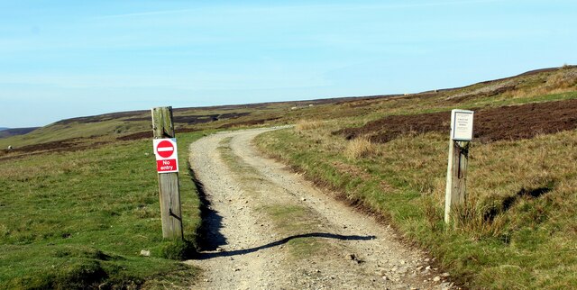
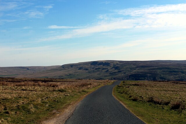
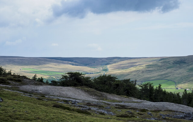
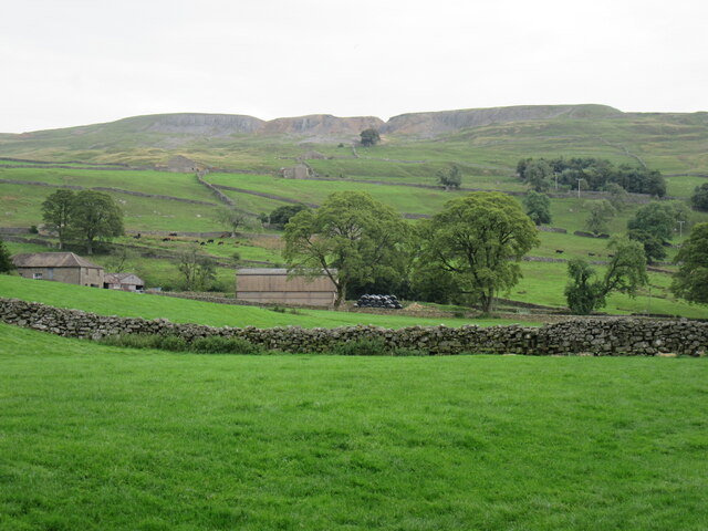
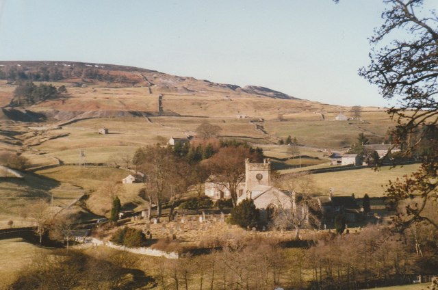
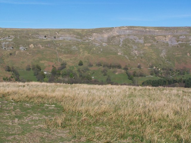
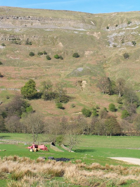
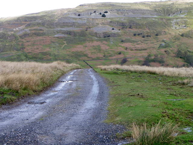
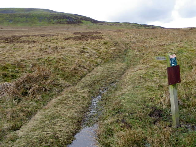
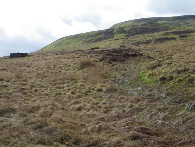
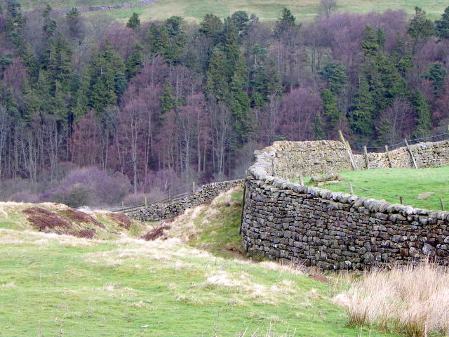
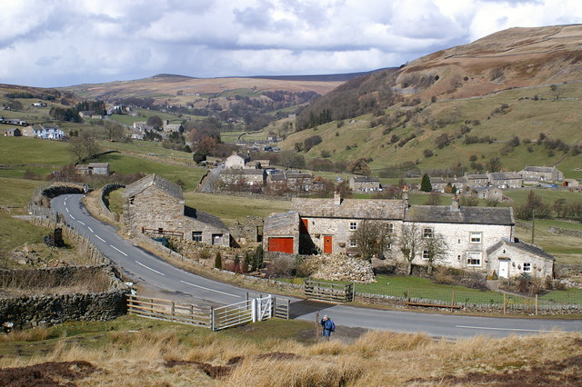
Booze Common is a picturesque area situated in the county of Yorkshire, England. Nestled amidst the stunning landscape of the Yorkshire Downs and Moorland, it offers visitors a unique experience of natural beauty and tranquility. The area is characterized by rolling hills, lush green meadows, and vast stretches of heather-covered moors, providing a captivating view for nature enthusiasts.
Booze Common is renowned for its diverse wildlife, making it a popular destination for birdwatchers and nature lovers. It is home to various bird species, including the iconic red grouse, curlew, and lapwing. The moorland also supports a rich population of mammals, such as hares, stoats, and deer, which can often be spotted during walks or hikes in the area.
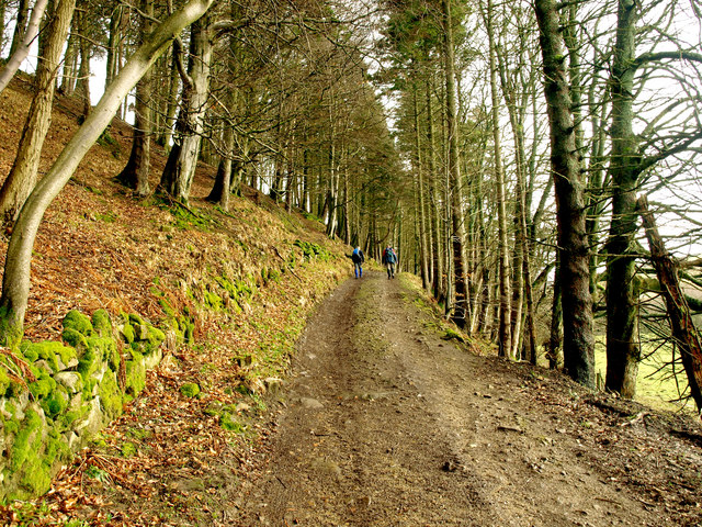
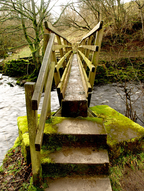
The common is intersected by several walking and hiking trails, offering visitors the opportunity to explore and immerse themselves in the stunning surroundings. These paths lead through ancient woodlands, past babbling streams, and up to breathtaking viewpoints, allowing visitors to fully appreciate the natural beauty of the area.
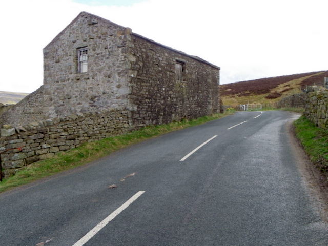
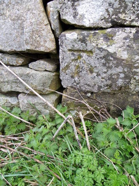
Booze Common is also known for its historical significance. The region has evidence of prehistoric settlements and burial sites, adding an extra layer of fascination for history enthusiasts. Ruins of old farmhouses and stone walls can still be found scattered across the landscape, providing a glimpse into the area's agricultural heritage.
Overall, Booze Common offers a serene and captivating experience for those seeking a retreat in the heart of nature. With its stunning landscapes, diverse wildlife, and rich history, it is a must-visit destination for anyone exploring Yorkshire's natural wonders.
If you have any feedback on the listing, please let us know in the comments section below.
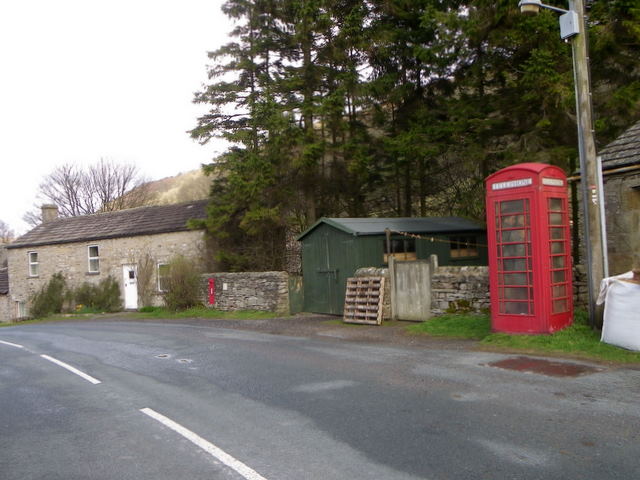
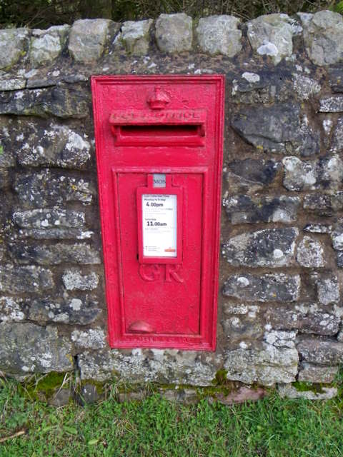
Booze Common Images
Images are sourced within 2km of 54.418958/-1.9897494 or Grid Reference NZ0002. Thanks to Geograph Open Source API. All images are credited.
Booze Common is located at Grid Ref: NZ0002 (Lat: 54.418958, Lng: -1.9897494)
Division: North Riding
Administrative County: North Yorkshire
District: Richmondshire
Police Authority: North Yorkshire
What 3 Words
///incisions.region.squaring. Near Bowes, Co. Durham
Nearby Locations
Related Wikis
Arkle Town
Arkle Town is a hamlet in Arkengarthdale in the Richmondshire district of North Yorkshire, England. It is situated 0.4 miles (0.64 km) to the south of...

Langthwaite
Langthwaite is one of the few villages in Arkengarthdale, North Yorkshire, England. It is 3.5 miles (5.6 km) north of Reeth and sits 870 feet (270 m) above...

Booze, North Yorkshire
Booze is a hamlet in Arkengarthdale, in the Richmondshire district of North Yorkshire, England. It is about 1 mile (1.6 km) east of Langthwaite. There...

Eskeleth
Eskeleth is a hamlet in Arkengarthdale in North Yorkshire, England. It is in the Yorkshire Dales National Park. Eskeleth sits 4 miles (6.4 km) from the...

Calver Hill
Calver Hill is a fell in the Yorkshire Dales National Park in North Yorkshire, England. It is composed of limestone and is situated at grid reference NZ012003...

Arkle Beck Meadows, Whaw
Arkle Beck Meadows, Whaw (grid reference NY984041) is a 8.4 hectares (21 acres) biological Site of Special Scientific Interest (SSSI) at Whaw in Arkengarthdale...

Whaw
Whaw is a hamlet in Arkengarthdale in North Yorkshire, England. It is one of few settlements in the dale and is one of the smallest. Its name derives from...

Fremington Edge
Fremington Edge is a 3-mile (5 km) long wall of crags and scree slopes that is situated to the north of the village of Reeth in Swaledale in the Yorkshire...
Nearby Amenities
Located within 500m of 54.418958,-1.9897494Have you been to Booze Common?
Leave your review of Booze Common below (or comments, questions and feedback).