Nant y Crabbas
Valley in Denbighshire
Wales
Nant y Crabbas

Nant y Crabbas is a picturesque valley located in Denbighshire, Wales. Situated in the Clwydian Range Area of Outstanding Natural Beauty, the valley is known for its stunning landscapes, rich wildlife, and historical significance.
Covered in lush greenery and surrounded by rolling hills, Nant y Crabbas offers a serene and tranquil setting. The valley is intersected by a meandering river that flows through its heart, adding to its natural beauty. The area is home to a diverse range of flora and fauna, including rare species of birds, mammals, and plants, making it a haven for nature lovers and wildlife enthusiasts.
In addition to its natural wonders, Nant y Crabbas holds historical importance. The valley is dotted with remnants of ancient settlements, standing stones, and burial mounds, indicating human activity dating back thousands of years. These archaeological sites provide a glimpse into the region's past and offer a fascinating insight into the lives of its early inhabitants.
Visitors to Nant y Crabbas can enjoy a variety of outdoor activities, such as hiking, cycling, and nature walks, exploring the scenic trails that wind through the valley. The area also offers opportunities for birdwatching, photography, and picnicking amidst the breathtaking surroundings.
Overall, Nant y Crabbas is a hidden gem in Denbighshire, offering a harmonious blend of natural beauty and historical significance. Its tranquil atmosphere and stunning landscapes make it a perfect destination for those seeking a peaceful escape or an adventure in the great outdoors.
If you have any feedback on the listing, please let us know in the comments section below.
Nant y Crabbas Images
Images are sourced within 2km of 53.210433/-3.4210559 or Grid Reference SJ0569. Thanks to Geograph Open Source API. All images are credited.


Nant y Crabbas is located at Grid Ref: SJ0569 (Lat: 53.210433, Lng: -3.4210559)
Unitary Authority: Denbighshire
Police Authority: North Wales
What 3 Words
///slightly.nutty.meaning. Near Trefnant, Denbighshire
Nearby Locations
Related Wikis
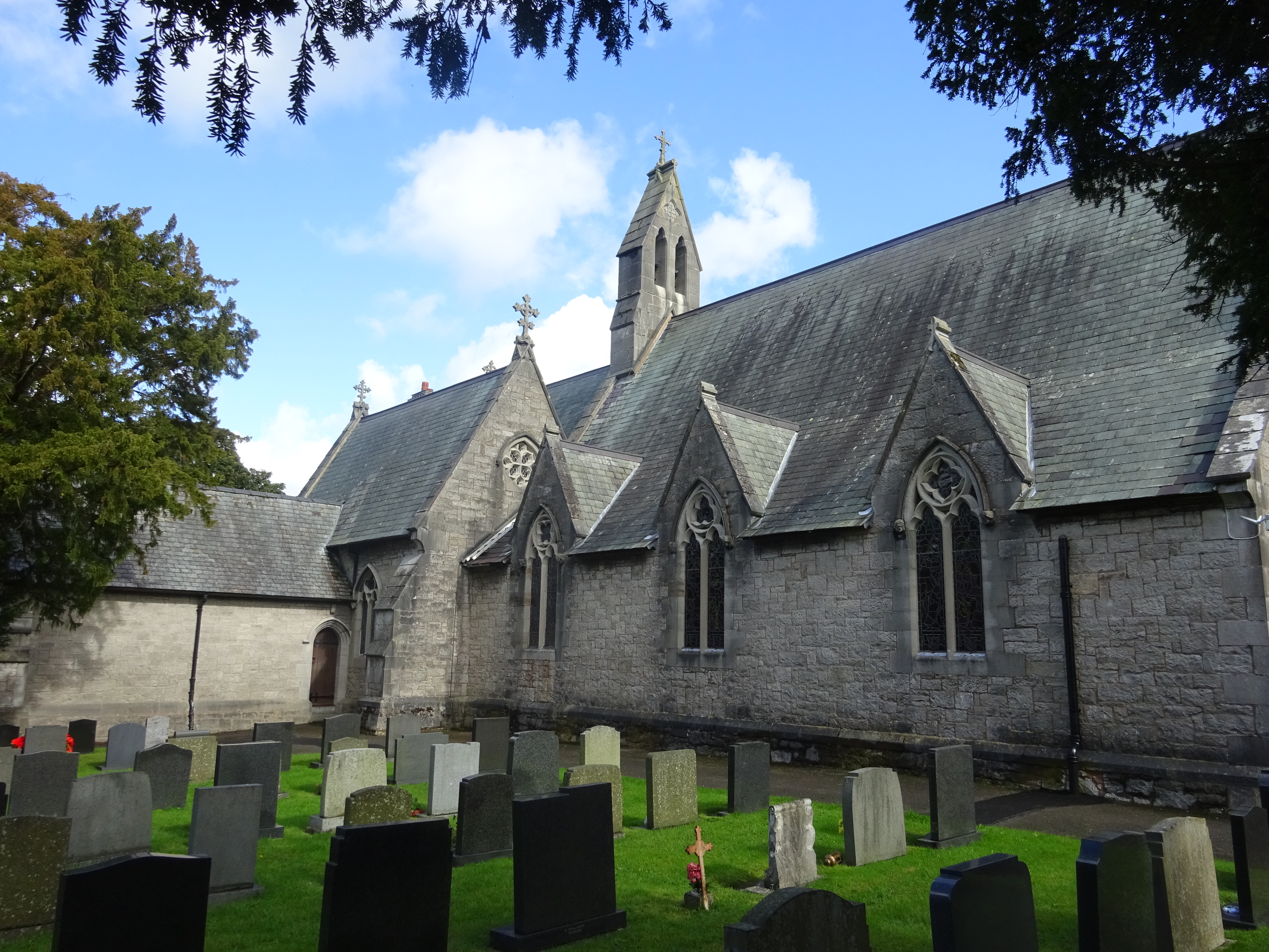
Holy Trinity Church, Trefnant
Holy Trinity Church is a Grade II* listed building in Trefnant, Denbighshire, Wales. It forms part of a group of listed structures in the village, including...

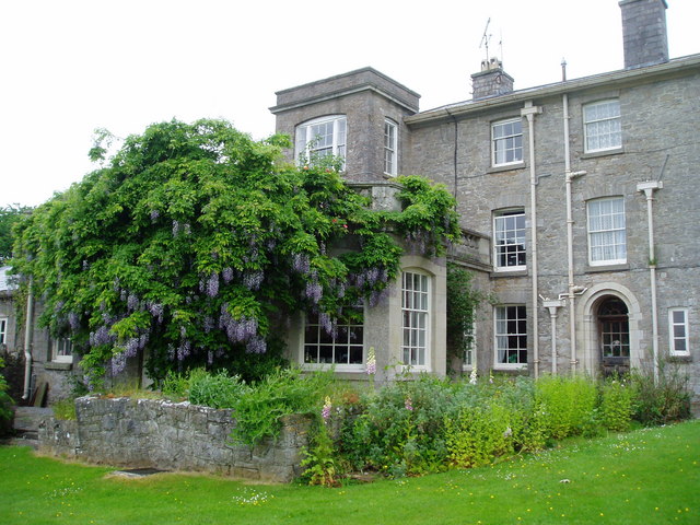
Plas Clough
Plas Clough is a country house and Grade II* listed building at Denbigh, North Wales, built by Sir Richard Clough and begun about 1567. Just to the north...

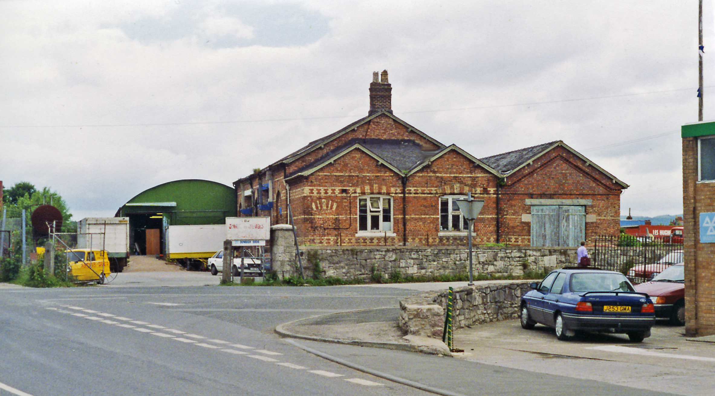
Trefnant railway station
Trefnant railway station served the village of Trefnant in North Wales. == History == It opened in 1858 and closed for passengers in 1955 and freight in...
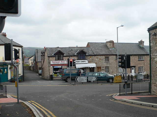
Trefnant
Trefnant is a village and community in Denbighshire, Wales. It is located on the A525 road in the Vale of Clwyd (Dyffryn Clwyd), about halfway between...
Galltfaenan Hall
Gallfaenan Hall, also known as Alltvaynan, is a Grade II listed building near to Trefnant and Henllan in Denbighshire, Wales. The site was established...
Denbigh railway station
Denbigh railway station served the town of Denbigh in Wales. It closed in 1962. The only remains of the station are sections of platform edge.The Vale...

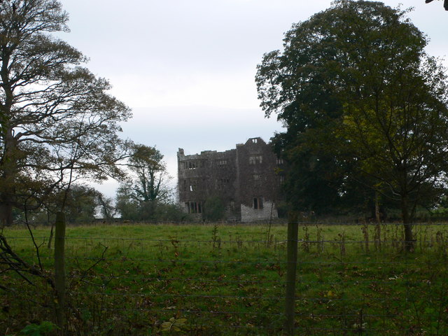
Denbigh Friary
Denbigh Friary (also known as Henllan Friary) (Welsh: Brodordy Dinbych) is a ruined monastic religious house located in Clwyd, Wales. It is situated...
Foxhall Newydd
Foxhall Newydd is a Grade I listed country house, roughly 1 kilometre (0.62 mi) to the southeast of Henllan, Denbighshire, north Wales. The house, planned...
Nearby Amenities
Located within 500m of 53.210433,-3.4210559Have you been to Nant y Crabbas?
Leave your review of Nant y Crabbas below (or comments, questions and feedback).