Cwm Anod

Valley in Brecknockshire

Wales

Cwm Anod

Footpath to Pen-y-Crug
Footpath to Pen-y-Crug Credit: Gareth James

The requested URL returned error: 429 Too Many Requests

If you have any feedback on the listing, please let us know in the comments section below.
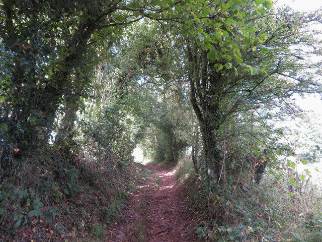
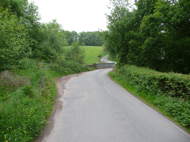
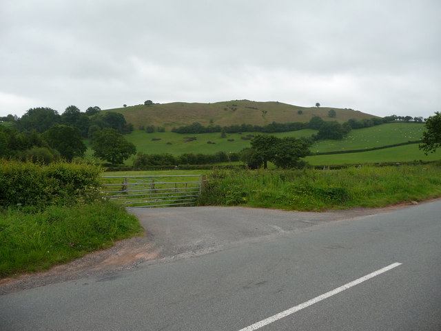
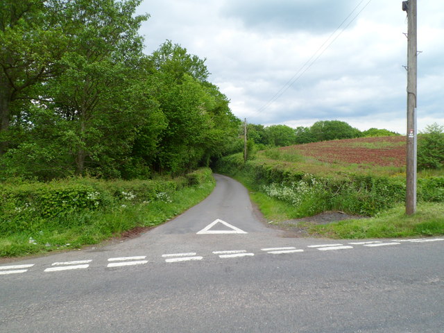
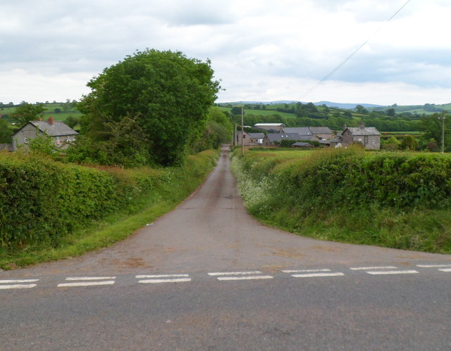
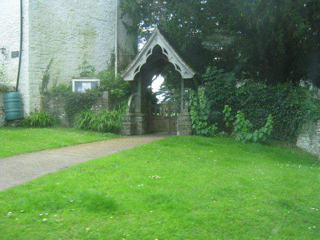
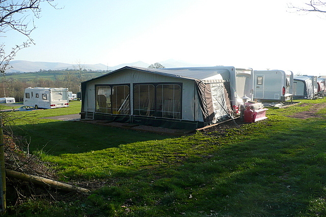
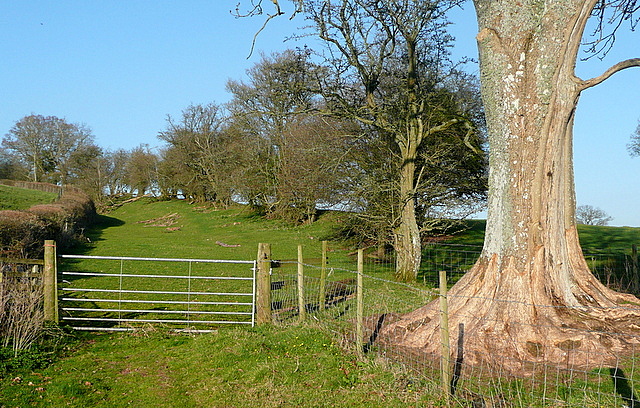
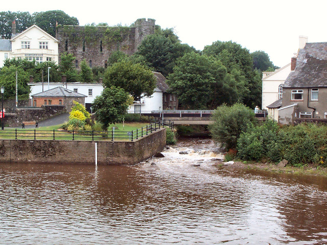
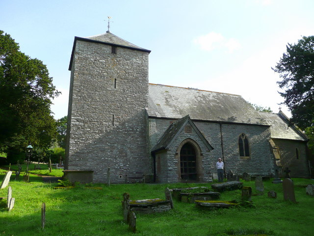
Cwm Anod Images

Images are sourced within 2km of 51.97054/-3.3819406 or Grid Reference SO0531. Thanks to Geograph Open Source API. All images are credited.

Footpath to Pen-y-Crug
Ordnance Survey Cut Mark This OS cut mark can be found on Tairderwen. It marks a point 197.138m above mean sea level.
Ordnance Survey Cut Mark
This OS cut mark can be found on Tairderwen. It marks a point 197.138m above mean sea level.
Ordnance Survey Cut Mark This OS cut mark can be found on the roadside barn at Pant-y-cored Farm. It marks a point 235.117m above mean sea level.
Ordnance Survey Cut Mark
This OS cut mark can be found on the roadside barn at Pant-y-cored Farm. It marks a point 235.117m above mean sea level.
Lane crossing the Honddu via the Anod Bridge A quiet spot.
Lane crossing the Honddu via the Anod Bridge
A quiet spot.
Gate near Tairderwen below Pen-y-crug This gate on a B road near a property called Tairderwen gives a good view across fields rising to the hillfort crowning the hillock called Pen-y-crug. The access path follows the skyline. It is well worth the effort of walking up; the views of the Brecon Beacons and the Usk Valley and over the town of Brecon are excellent.
Gate near Tairderwen below Pen-y-crug
This gate on a B road near a property called Tairderwen gives a good view across fields rising to the hillfort crowning the hillock called Pen-y-crug. The access path follows the skyline. It is well worth the effort of walking up; the views of the Brecon Beacons and the Usk Valley and over the town of Brecon are excellent.
T-junction east of Cradoc The road east from Cradoc reaches the B4520. Left for Lower Chapel, Upper Chapel and Builth Wells, right for Brecon. Builth Wells is 14 miles away, Brecon is 2 miles away.
T-junction east of Cradoc
The road east from Cradoc reaches the B4520. Left for Lower Chapel, Upper Chapel and Builth Wells, right for Brecon. Builth Wells is 14 miles away, Brecon is 2 miles away.
Tairderwen north of Brecon The house is on the south side of the junction of the B4520 and the road from Cradoc.
Tairderwen north of Brecon
The house is on the south side of the junction of the B4520 and the road from Cradoc.
The B4520 NW of Tairderwen  Viewed from near Tairderwen, <a title="https://www.geograph.org.uk/photo/2981202" href="https://www.geograph.org.uk/photo/2981202">Link</a> the B4520 heads NW towards
Lower Chapel, Upper Chapel and Builth Wells.
The B4520 NW of Tairderwen
Viewed from near Tairderwen, Link the B4520 heads NW towards Lower Chapel, Upper Chapel and Builth Wells.
Camden Cottage north of Brecon Located alongside the B4520 about 2km north of central Brecon.
Camden Cottage north of Brecon
Located alongside the B4520 about 2km north of central Brecon.
Lane to two farms north of Brecon Viewed from the B4520 near Camden Cottage. <a title="https://www.geograph.org.uk/photo/2981311" href="https://www.geograph.org.uk/photo/2981311">Link</a>
On its way to Pytingwyn Farm and Rachfynydd Farm, the lane crosses the River Honddu about 300 metres ahead.
Lane to two farms north of Brecon
Viewed from the B4520 near Camden Cottage. Link On its way to Pytingwyn Farm and Rachfynydd Farm, the lane crosses the River Honddu about 300 metres ahead.
B4520 heads ESE towards Brecon Viewed from near this <a title="https://www.geograph.org.uk/photo/2981344" href="https://www.geograph.org.uk/photo/2981344">Link</a> farm access lane.
B4520 heads ESE towards Brecon
Viewed from near this Link farm access lane.
Minor road to Llanddew Behind the camera, a sign points across the B4520 to a minor road to Llanddew, a mile away.
Minor road to Llanddew
Behind the camera, a sign points across the B4520 to a minor road to Llanddew, a mile away.
The B4520 descends towards Brecon The two trees on the right are on the corner of the access road to Pont-Gwilym-uchaf Farm.
The B4520 descends towards Brecon
The two trees on the right are on the corner of the access road to Pont-Gwilym-uchaf Farm.
Access road to  Pont-Gwilym-uchaf Farm near Brecon Viewed from the B4520.
Access road to Pont-Gwilym-uchaf Farm near Brecon
Viewed from the B4520.
Road to Lower Pontgwilym Farm near Brecon Viewed from the B4520.
Road to Lower Pontgwilym Farm near Brecon
Viewed from the B4520.
Lych Gate at St David's Church in Llanddew
Bishop's Meadow camping park Even in March there are plenty of pitches in use.  Mind you, that's not a bad view to wake  up to is it?
Bishop's Meadow camping park
Even in March there are plenty of pitches in use. Mind you, that's not a bad view to wake up to is it?
Bridleway from Bishop's Meadow This bridleway is very pleasant, gently ascending between banks and pasture land.
Bridleway from Bishop's Meadow
This bridleway is very pleasant, gently ascending between banks and pasture land.
Show me another place!

Cwm Anod is located at Grid Ref: SO0531 (Lat: 51.97054, Lng: -3.3819406)

Unitary Authority: Powys

Police Authority: Dyfed Powys

What 3 Words

///soils.blatantly.adjust. Near Brecon, Powys

Nearby Locations

Cwm Anod

Related Wikis

Llanddew

Llanddew is a small village and community about 2 km or 1 mile north-east of Brecon, Powys, Wales. The population as of the 2011 UK Census was 232. It...

River Honddu (Powys)

The River Honddu (pronounced [hɔnðɪ] i.e. hon-thee) is a river in the county of Powys, mid Wales. Early recorded versions of the name are of the form Hothenei...

Coleg Powys

Coleg Powys was a further education establishment in the County of Powys, Mid Wales. It had main campuses at Brecon, Llandrindod Wells and Newtown and...

Llandyfaelog Fach

Llandyfaelog Fach (or Llandefaelog Fach), is a small village and community located in Powys, Wales. It includes the surrounding areas of Glan Honddu, Sarnau...

Nearby Amenities

Located within 500m of 51.97054,-3.3819406
Direction: 145
Generator Method: photovoltaic
Generator Output Electricity: yes
Generator Solar Modules: 12
Generator Source: solar
Generator Type: solar_photovoltaic_panel
Location: roof
Power: generator
Lat/Long: 51.9686903/-3.3753428
The data included in this document is from www.openstreetmap.org. The data is made available under ODbL.

Have you been to Cwm Anod?

Leave your review of Cwm Anod below (or comments, questions and feedback).