Ceunant Melin-y-grûg
Valley in Montgomeryshire
Wales
Ceunant Melin-y-grûg
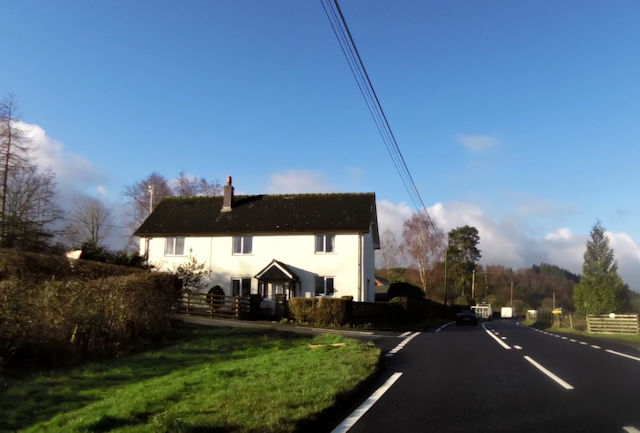
Ceunant Melin-y-grûg is a picturesque valley located in Montgomeryshire, Wales. Known for its natural beauty and tranquil surroundings, the valley is a popular destination for nature enthusiasts and outdoor adventurers.
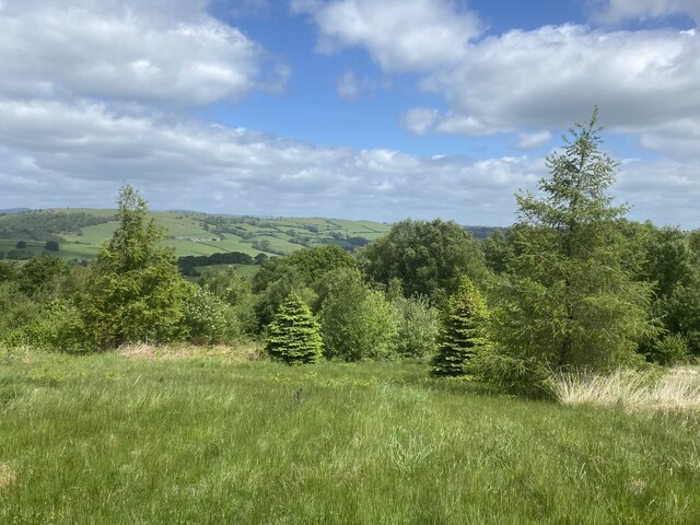
Nestled between rolling hills and bordered by a meandering river, Ceunant Melin-y-grûg offers stunning panoramic views of the surrounding countryside. The valley is characterized by its lush greenery, with dense woodlands and vibrant wildflowers dotting the landscape. The river that runs through the valley adds to its charm, providing a soothing soundtrack and offering opportunities for fishing and kayaking.
The valley is home to a diverse range of wildlife, including various bird species, small mammals, and insects. Nature lovers often visit Ceunant Melin-y-grûg to observe and photograph the rich biodiversity found in the area.
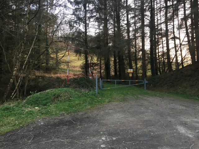
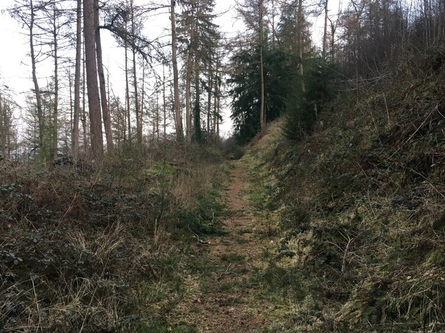
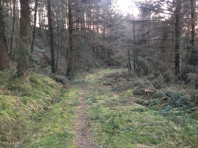
For those seeking outdoor activities, the valley offers ample opportunities for hiking, with well-marked trails that wind through the hills and forests. These trails provide both leisurely walks for beginners and more challenging routes for experienced hikers. Additionally, the valley is a great spot for picnicking and camping, allowing visitors to fully immerse themselves in the natural beauty of the area.
Overall, Ceunant Melin-y-grûg is a haven for anyone looking to escape the hustle and bustle of city life and immerse themselves in the serenity of nature. Its breathtaking scenery, abundant wildlife, and diverse range of outdoor activities make it a must-visit destination for nature lovers.
If you have any feedback on the listing, please let us know in the comments section below.
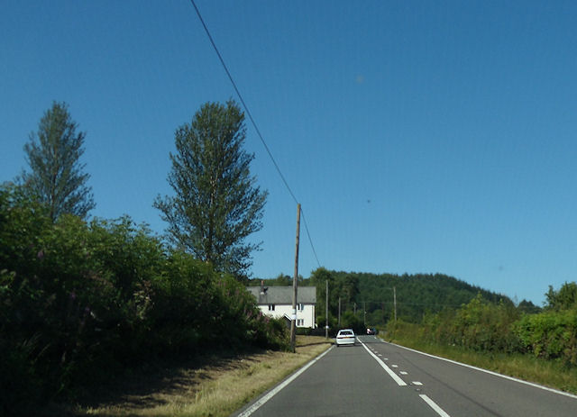
Ceunant Melin-y-grûg Images
Images are sourced within 2km of 52.655531/-3.4083413 or Grid Reference SJ0407. Thanks to Geograph Open Source API. All images are credited.


Ceunant Melin-y-grûg is located at Grid Ref: SJ0407 (Lat: 52.655531, Lng: -3.4083413)
Unitary Authority: Powys
Police Authority: Dyfed Powys
What 3 Words
///quarrel.suiting.gained. Near Llangadfan, Powys
Nearby Locations
Related Wikis

Four Crosses, Llanfair Caereinion
Four Crosses is a hamlet located west of Llanfair Caereinion in Powys, Wales. It is situated off the A458 between Llanfair Caereinion and Mallwyd. The...
Llanerfyl
Llanerfyl is a village and community in Montgomeryshire, Powys, Wales. Located near the River Banwy, the community includes the village of Llanerfyl, several...

Montgomeryshire (Senedd constituency)
Montgomeryshire (Welsh: Sir Drefaldwyn) is a constituency of the Senedd. It elects one Member of the Senedd by the first past the post method of election...

Montgomeryshire (UK Parliament constituency)
Montgomeryshire (Welsh: Sir Drefaldwyn) is a constituency in Wales represented in the House of Commons of the UK Parliament. Created in 1542, it elects...

District of Montgomeryshire
The District of Montgomeryshire or Montgomery (Welsh: Maldwyn) was one of three local government districts of the county of Powys, Wales, from 1974 until...

Cefn Coch
Cefn Coch is a small village or hamlet near Llanfair Caereinion in Mid Wales, located at grid reference SJ 0482 0284. In 2012, the village was chosen as...

Llangadfan
Llangadfan is a small village in Powys, Wales, based in the community of Banwy. The village lies on the A458 between Foel and Llanerfyl, 12 kilometres...

Llanllugan Abbey
Llanllugan Abbey was a monastery of Cistercian nuns located at Llanllugan, Powys, Wales. It was one of only two Cistercian women's monasteries in Wales...
Nearby Amenities
Located within 500m of 52.655531,-3.4083413Have you been to Ceunant Melin-y-grûg?
Leave your review of Ceunant Melin-y-grûg below (or comments, questions and feedback).