Bankhead Den

Valley in Perthshire

Scotland

Bankhead Den

Oilseed rape field By Forteviot Bridge.
Oilseed rape field Credit: Richard Webb

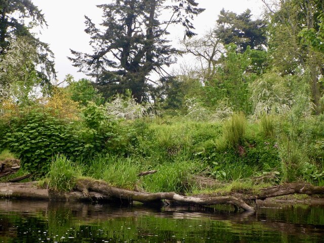
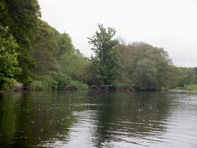
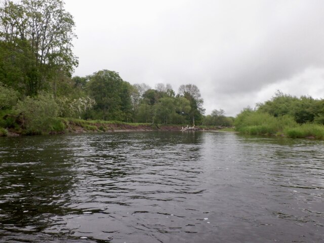
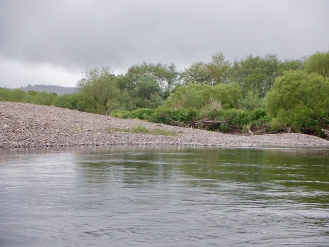
Bankhead Den is a picturesque valley located in Perthshire, Scotland. Nestled amidst the stunning countryside, this natural wonder spans over a vast area and offers a serene and tranquil environment to its visitors. The den is known for its lush greenery, meandering streams, and towering trees that provide a canopy of shade.

The den is a haven for nature lovers and outdoor enthusiasts, as it boasts a network of well-maintained walking trails that allow visitors to explore the area. These trails wind their way through the valley, offering breathtaking views of the surrounding landscape. The den is also home to a diverse range of flora and fauna, making it a popular spot for wildlife enthusiasts and birdwatchers.

One of the highlights of Bankhead Den is its impressive waterfall, which cascades down the rocky cliffs and adds to the charm of the place. The sound of the rushing water creates a soothing ambiance, making it a perfect spot for relaxation and contemplation.

Visitors to Bankhead Den can also enjoy picnicking by the streams or simply basking in the serenity of the surroundings. The den has well-maintained picnic areas with benches and tables, providing a comfortable space for families and friends to gather and enjoy a meal together.

Overall, Bankhead Den is a hidden gem in Perthshire, offering a tranquil escape from the hustle and bustle of everyday life. Whether it's hiking, birdwatching, or simply enjoying the beauty of nature, this valley has something to offer to everyone who visits.

If you have any feedback on the listing, please let us know in the comments section below.

Bankhead Den Images

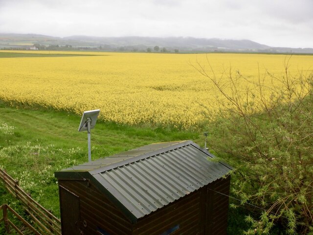
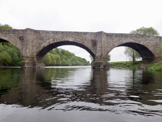
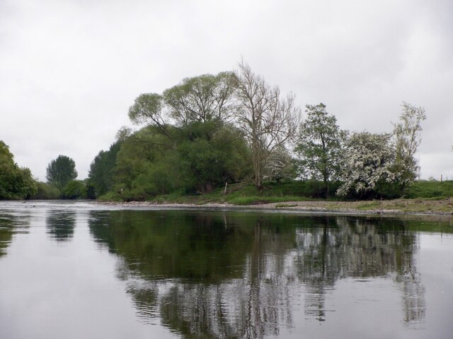
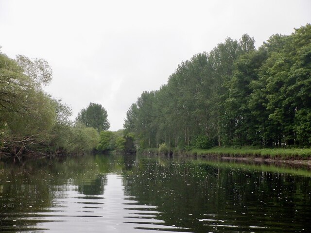
Images are sourced within 2km of 56.349527/-3.5486966 or Grid Reference NO0418. Thanks to Geograph Open Source API. All images are credited.

Oilseed rape field By Forteviot Bridge.
Oilseed rape field
By Forteviot Bridge.
Forteviot Bridge A mid 18th century crossing of the River Earn.
Forteviot Bridge
A mid 18th century crossing of the River Earn.
May - Earn confluence The Water of May, running off the Ochil Hills joins the Earn downstream of Forteviot Bridge.
May - Earn confluence
The Water of May, running off the Ochil Hills joins the Earn downstream of Forteviot Bridge.
River Earn, Forteviot
Banks of the Earn, Dupplin
River Earn, Dupplin
River Earn, Dupplin
River Earn, Dupplin At the start of a section of braiding with several large trees in the water.  Easily avoidable on this occasion although I did take a shallow backwater to avoid one in the main stream.
River Earn, Dupplin
At the start of a section of braiding with several large trees in the water. Easily avoidable on this occasion although I did take a shallow backwater to avoid one in the main stream.
River Earn, Newmillhaugh Plantation The river is very active here with braiding and a changing course. It appears that the meander is deepening southwards leaving a big shingle bank on the Dupplin (river left) bank.
River Earn, Newmillhaugh Plantation
The river is very active here with braiding and a changing course. It appears that the meander is deepening southwards leaving a big shingle bank on the Dupplin (river left) bank.
The Square, Forteviot Built in the 1920s.
The Square, Forteviot
Built in the 1920s.
Oilseed rape, Forteviot A road junction is complicated by a level crossing.
Oilseed rape, Forteviot
A road junction is complicated by a level crossing.
Forteviot The square in Forteviot stands out as very atypical of the vernacular architecture.
Forteviot
The square in Forteviot stands out as very atypical of the vernacular architecture.
River Earn at Forteviot Bridge This is the upstream (west) side of the bridge.
River Earn at Forteviot Bridge
This is the upstream (west) side of the bridge.
Level Crossing Level crossing west of Forteviot on the main line from Perth to Glasgow.
Level Crossing
Level crossing west of Forteviot on the main line from Perth to Glasgow.
B9112 below Dupplin Castle Facing West, the Earn runs behind the trees on the left
B9112 below Dupplin Castle
Facing West, the Earn runs behind the trees on the left
River Earn from Forteviot Bridge The view looks downriver from Forteviot Bridge
River Earn from Forteviot Bridge
The view looks downriver from Forteviot Bridge
Dog rose at the roadside The fencing separates the Perth - Glasgow railway line from a narrow country lane
Dog rose at the roadside
The fencing separates the Perth - Glasgow railway line from a narrow country lane
Farmland Looking across fields to the lower Ochils in the distance.
Farmland
Looking across fields to the lower Ochils in the distance.
Forteviot Bridge The river Earn is swollen with the past month's rain.
Forteviot Bridge
The river Earn is swollen with the past month's rain.
Show me another place!

Bankhead Den is located at Grid Ref: NO0418 (Lat: 56.349527, Lng: -3.5486966)

Unitary Authority: Perth and Kinross

Police Authority: Tayside

What 3 Words

///speak.skylights.clings. Near Methven, Perth & Kinross

Nearby Locations

Bankhead Den

Related Wikis

Forteviot railway station

Forteviot railway station served the village of Forteviot, Perth and Kinross, Scotland from 1848 to 1956 on the Scottish Central Railway. == History... ==

Battle of Dupplin Moor

The Battle of Dupplin Moor was fought between supporters of King David II of Scotland, the son of King Robert Bruce, and English-backed invaders supporting...

Forteviot

Forteviot (Scottish Gaelic: Fothair Tabhaicht) (Ordnance Survey grid reference NO052175) is a village in Strathearn, Scotland on the south bank of the...

Forteviot Bronze Age tomb

Forteviot Bronze Age tomb is a Bronze Age burial chamber discovered in 2009 at Forteviot near Perth, Scotland. The Bronze Age tomb is one of a number of...

Nearby Amenities

Located within 500m of 56.349527,-3.5486966
Bankhead
Place: locality
Source: npe
Lat/Long: 56.3522821/-3.5459888
Material: wood
Power: pole
Lat/Long: 56.3453848/-3.5463412
Material: wood
Power: pole
Lat/Long: 56.3454823/-3.545992
Power: pole
Lat/Long: 56.3517427/-3.5556823
Power: pole
Lat/Long: 56.3517092/-3.5543623
Power: pole
Lat/Long: 56.3516886/-3.553089
Power: pole
Lat/Long: 56.3516576/-3.5518133
Power: pole
Lat/Long: 56.3516292/-3.550526
Power: pole
Lat/Long: 56.3515957/-3.5492503
Power: pole
Lat/Long: 56.3515725/-3.5479862
Power: pole
Lat/Long: 56.3515376/-3.5467175
Power: pole
Lat/Long: 56.3515131/-3.5454511
Power: pole
Lat/Long: 56.3513738/-3.544243
Power: pole
Lat/Long: 56.3512423/-3.5430394
Power: pole
Lat/Long: 56.3511159/-3.5418615
Power: pole
Lat/Long: 56.3474627/-3.5416893
Power: pole
Lat/Long: 56.3469041/-3.5428579
Power: pole
Lat/Long: 56.3463004/-3.5440684
Power: pole
Lat/Long: 56.3457869/-3.5451415
Material: wood
Power: pole
Lat/Long: 56.3453657/-3.5458748
Material: wood
Power: pole
Lat/Long: 56.3455689/-3.5451741
The data included in this document is from www.openstreetmap.org. The data is made available under ODbL.

Have you been to Bankhead Den?

Leave your review of Bankhead Den below (or comments, questions and feedback).