Gilgarran Gill
Valley in Cumberland Copeland
England
Gilgarran Gill

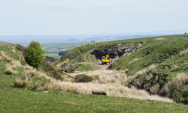
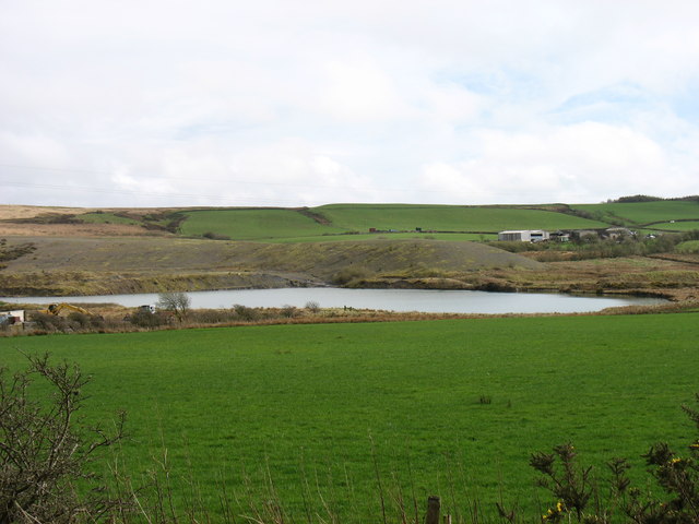
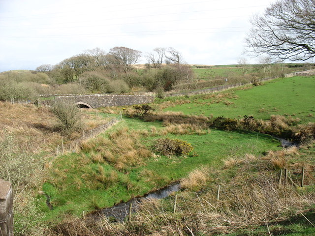
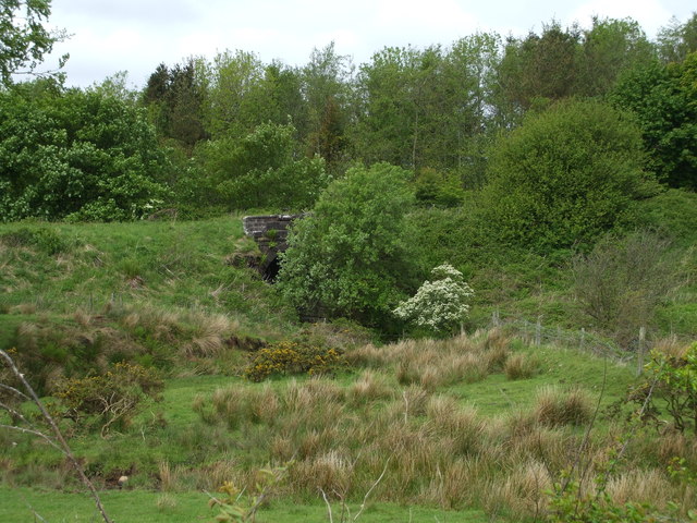
Gilgarran Gill is a picturesque valley located in the county of Cumberland, in North West England. It is situated near the village of Gilgarran and is surrounded by rolling hills and lush green landscapes. The valley is known for its natural beauty and is a popular destination for nature lovers and outdoor enthusiasts.
The main feature of Gilgarran Gill is the gushing stream that runs through it, which gives the valley its name. The stream is fed by several smaller tributaries, creating a network of cascades and waterfalls that add to the charm of the area. The crystal-clear waters of the gill are home to a variety of aquatic life, including fish and insects, making it an attractive spot for fishing and wildlife observation.
The valley is also rich in flora and fauna, with an abundance of wildflowers, mosses, and ferns lining the banks of the stream. The surrounding woodlands are home to a diverse range of bird species, such as woodpeckers and kingfishers, making it a perfect location for birdwatching.
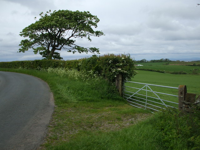
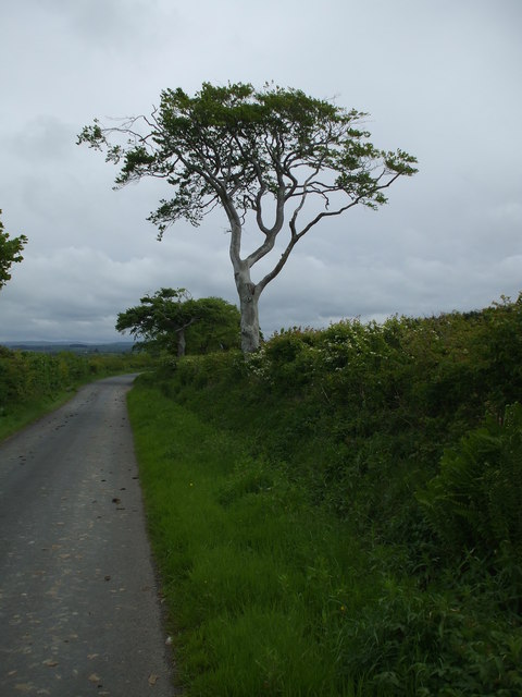
For those seeking outdoor activities, Gilgarran Gill offers numerous walking trails and hiking routes, allowing visitors to explore the valley and enjoy the breathtaking views. The valley is also a popular spot for picnics and family outings, with several designated picnic areas and benches scattered throughout the area.
Overall, Gilgarran Gill is a hidden gem in the Cumberland region, offering a tranquil escape from the hustle and bustle of everyday life. With its stunning natural beauty and abundance of recreational opportunities, it is no wonder that this valley attracts visitors from far and wide.
If you have any feedback on the listing, please let us know in the comments section below.
Gilgarran Gill Images
Images are sourced within 2km of 54.595213/-3.498596 or Grid Reference NY0323. Thanks to Geograph Open Source API. All images are credited.


Gilgarran Gill is located at Grid Ref: NY0323 (Lat: 54.595213, Lng: -3.498596)
Administrative County: Cumbria
District: Copeland
Police Authority: Cumbria
What 3 Words
///competent.adults.crunches. Near Distington, Cumbria
Nearby Locations
Related Wikis

Branthwaite Edge
Branthwaite Edge is a hamlet in Cumbria, England. == References ==

Oatlands railway station
Oatlands railway station served the village of Pica and Oatlands Colliery in the former English county of Cumberland, now part of Cumbria. == Location... ==
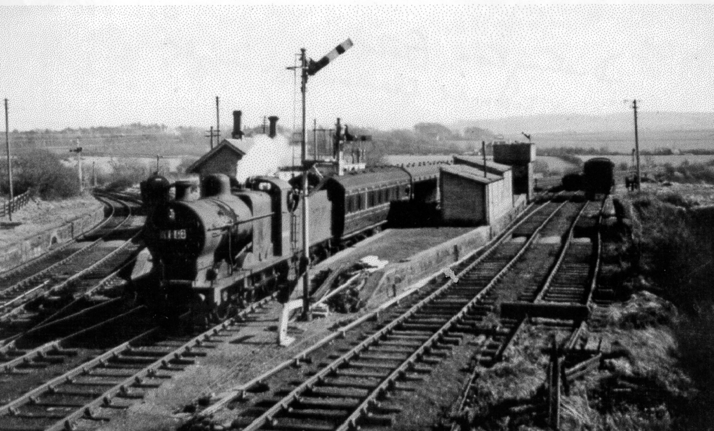
Distington railway station
Distington railway station was opened jointly by the Cleator and Workington Junction Railway (C&WJR) and the LNWR and Furness Joint Railway (The Joint...
Lakes College
Lakes College is a further education institute located at Lillyhall, Cumberland, England, between the towns of Workington and Whitehaven. The college offers...
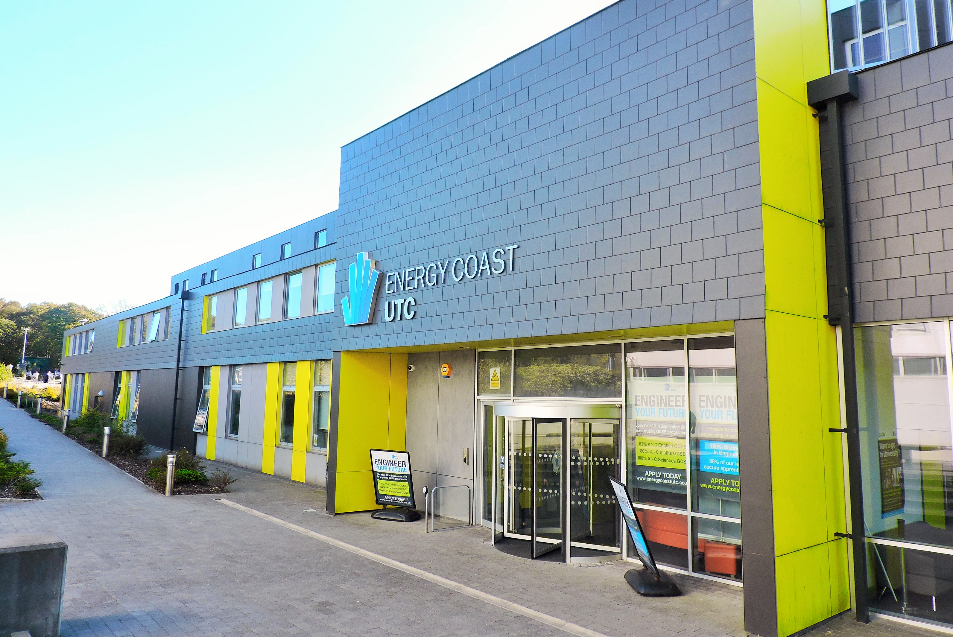
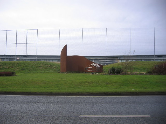
Energy Coast UTC
Energy Coast is a University Technical College (UTC) on the outskirts of Workington, Cumbria that opened in September 2014 for students of ages 14–19....

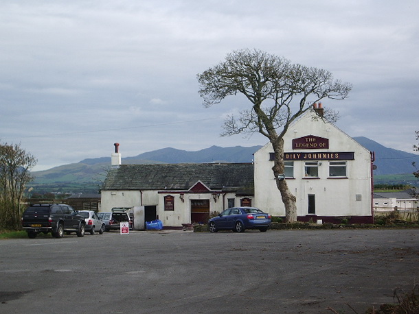
Distington
Distington () is a large village and civil parish in Cumbria, England, 3 miles (4.8 km) south of Workington and 4 miles (6.4 km) north of Whitehaven. Historically...
Winscales
Winscales is a hamlet and civil parish in Allerdale, Cumbria, England, south west of Workington. In the 2011 census it had a population of 237.The parish...
Common End, Cumbria
Common End is a hamlet within the civil parish of Distington in Cumbria, England. Common End was on the A595 road until it was by-passed. == References ==
Nearby Amenities
Located within 500m of 54.595213,-3.498596Have you been to Gilgarran Gill?
Leave your review of Gilgarran Gill below (or comments, questions and feedback).