Gilgarran
Settlement in Cumberland Copeland
England
Gilgarran

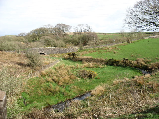
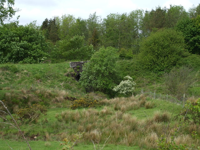
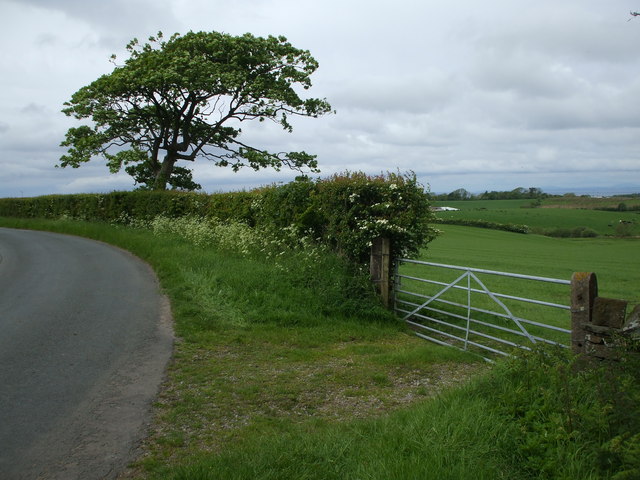
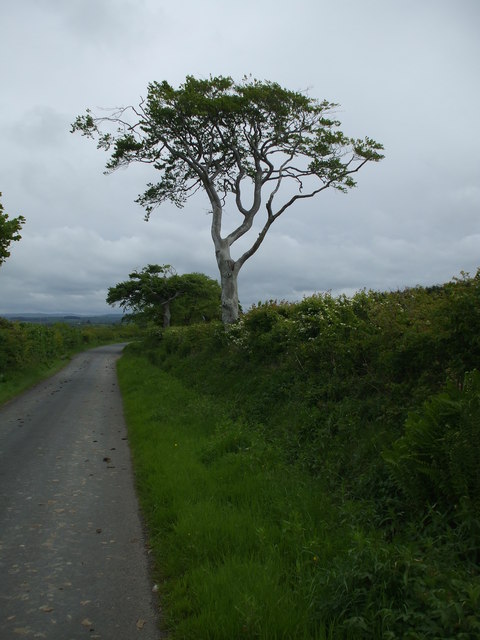
Gilgarran is a small village located in the county of Cumberland, in northwest England. Situated on the western edge of the Lake District National Park, it lies about 3 miles northeast of the town of Workington. The village is nestled in a picturesque valley, surrounded by rolling hills and green fields.
Historically, Gilgarran was predominantly an agricultural community, with farming being the primary occupation of its residents. However, in recent years, it has seen some growth in residential development, attracting families and individuals seeking a peaceful rural lifestyle.
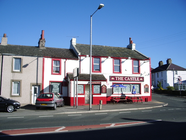
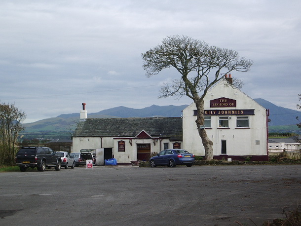
The village itself is relatively compact, with a small number of houses and a charming village pub, which serves as a focal point for social gatherings. The pub, known as The Gilgarran, is a popular spot for locals and visitors alike, offering a friendly atmosphere and traditional pub fare.
Nature lovers are drawn to Gilgarran due to its proximity to the Lake District, offering opportunities for hiking, cycling, and exploring the stunning natural beauty of the region. The village is also close to the Solway Coast Area of Outstanding Natural Beauty, providing further options for outdoor activities.
Gilgarran benefits from good transport links, with the A596 road passing nearby, providing easy access to neighboring towns and cities. The village also has a regular bus service connecting it to Workington and other nearby settlements.
Overall, Gilgarran is a charming rural village, offering a tranquil setting and access to the natural wonders of the Lake District, making it an attractive place to live or visit for those seeking a peaceful retreat.
If you have any feedback on the listing, please let us know in the comments section below.
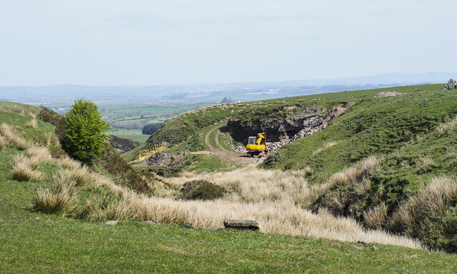
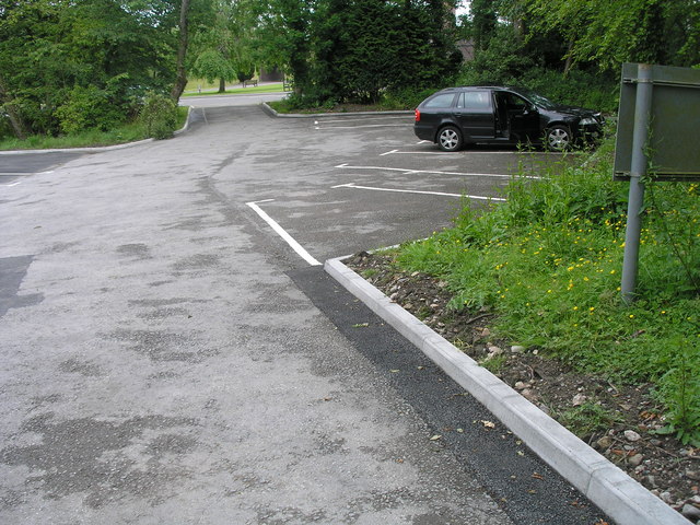
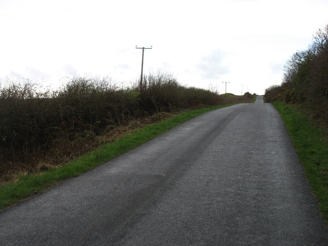
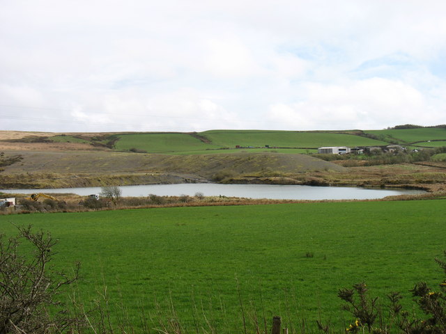
Gilgarran Images
Images are sourced within 2km of 54.593276/-3.499669 or Grid Reference NY0323. Thanks to Geograph Open Source API. All images are credited.


Gilgarran is located at Grid Ref: NY0323 (Lat: 54.593276, Lng: -3.499669)
Administrative County: Cumbria
District: Copeland
Police Authority: Cumbria
What 3 Words
///trickster.majors.resurgent. Near Distington, Cumbria
Nearby Locations
Related Wikis

Oatlands railway station
Oatlands railway station served the village of Pica and Oatlands Colliery in the former English county of Cumberland, now part of Cumbria. == Location... ==

Branthwaite Edge
Branthwaite Edge is a hamlet in Cumbria, England. == References ==
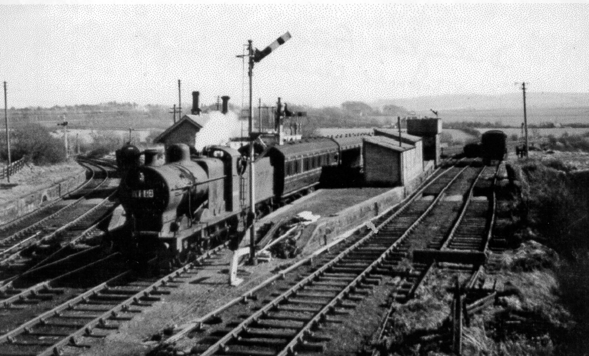
Distington railway station
Distington railway station was opened jointly by the Cleator and Workington Junction Railway (C&WJR) and the LNWR and Furness Joint Railway (The Joint...
Lakes College
Lakes College is a further education institute located at Lillyhall, Cumberland, England, between the towns of Workington and Whitehaven. The college offers...

Distington
Distington () is a large village and civil parish in Cumbria, England, 3 miles (4.8 km) south of Workington and 4 miles (6.4 km) north of Whitehaven. Historically...
Common End, Cumbria
Common End is a hamlet within the civil parish of Distington in Cumbria, England. Common End was on the A595 road until it was by-passed. == References ==
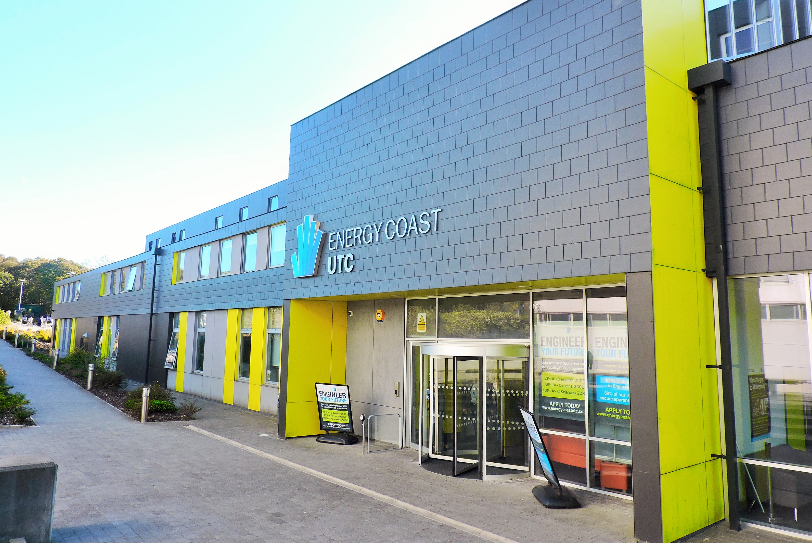
Energy Coast UTC
Energy Coast is a University Technical College (UTC) on the outskirts of Workington, Cumbria that opened in September 2014 for students of ages 14–19....
Winscales
Winscales is a hamlet and civil parish in Allerdale, Cumbria, England, south west of Workington. In the 2011 census it had a population of 237.The parish...
Nearby Amenities
Located within 500m of 54.593276,-3.499669Have you been to Gilgarran?
Leave your review of Gilgarran below (or comments, questions and feedback).