Howe Cleuch
Valley in Lanarkshire
Scotland
Howe Cleuch
The requested URL returned error: 429 Too Many Requests
If you have any feedback on the listing, please let us know in the comments section below.
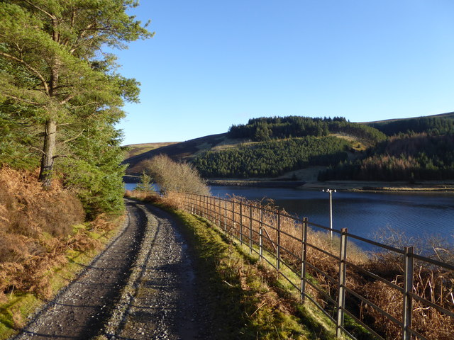
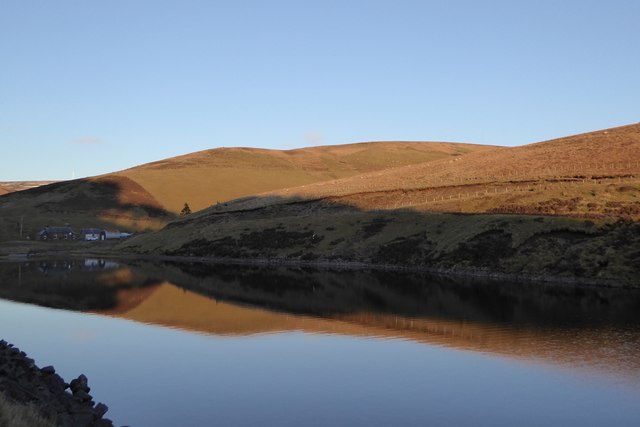
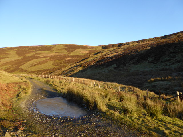
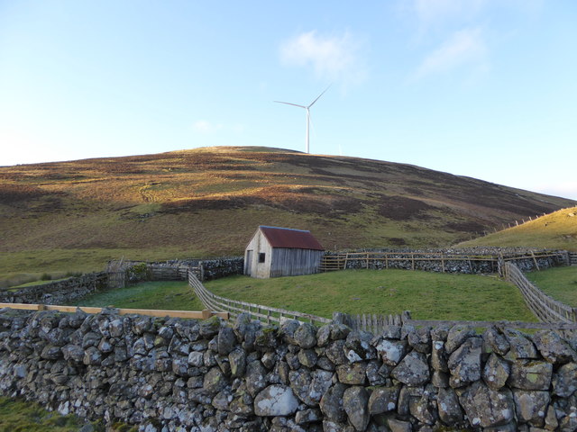
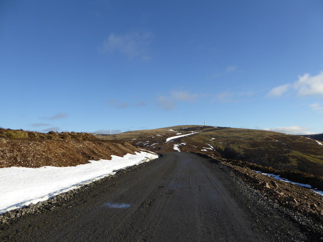
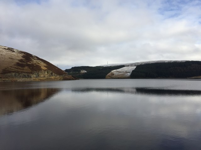
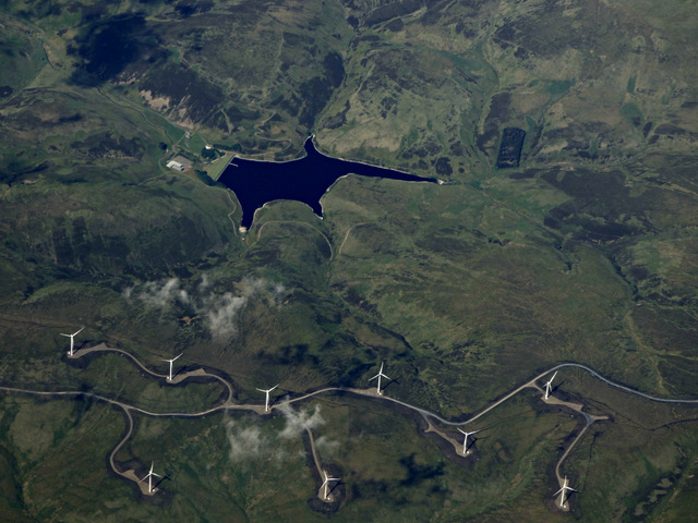
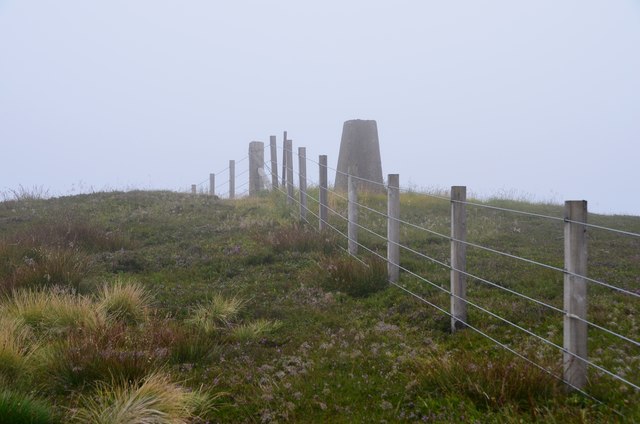
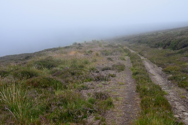
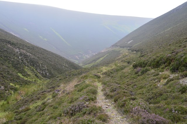
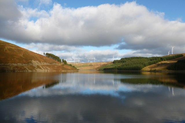
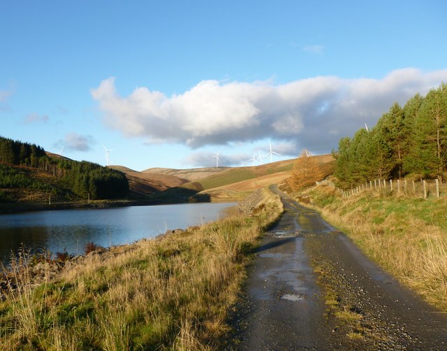
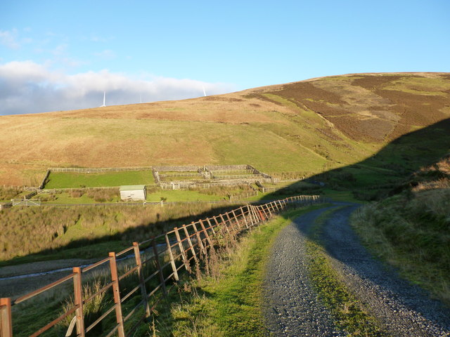
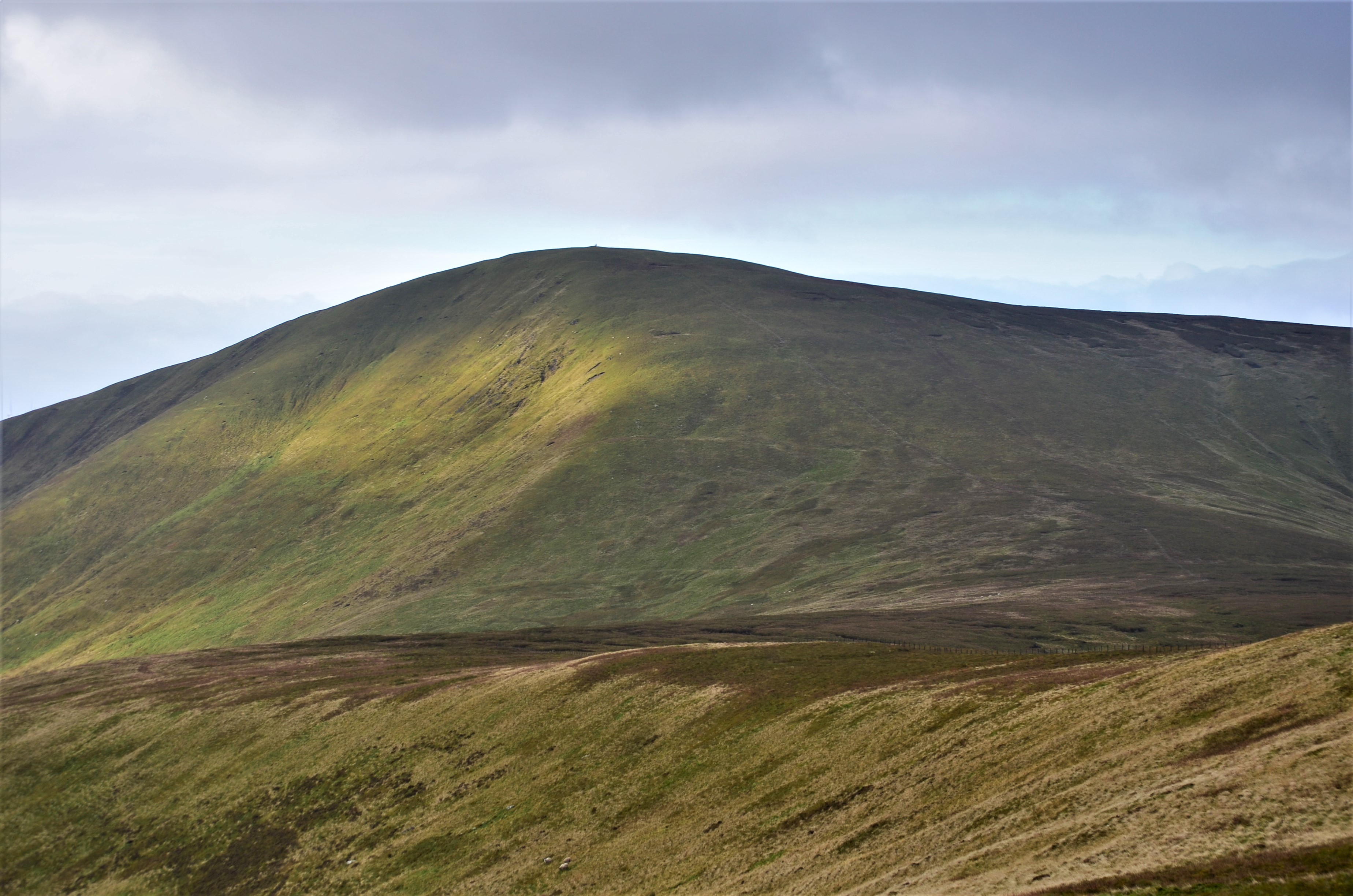
Howe Cleuch Images
Images are sourced within 2km of 55.502607/-3.5682975 or Grid Reference NT0124. Thanks to Geograph Open Source API. All images are credited.


Howe Cleuch is located at Grid Ref: NT0124 (Lat: 55.502607, Lng: -3.5682975)
Unitary Authority: South Lanarkshire
Police Authority: Lanarkshire
What 3 Words
///charmingly.mentioned.spelled. Near Biggar, South Lanarkshire
Nearby Locations
Related Wikis

Gathersnow Hill
Gathersnow Hill is a hill in the Culter Hills range, part of the Southern Uplands of Scotland. It lies west of the village of Tweedsmuir on the border...
Culter Fell
Culter Fell is a hill in the Culter Hills range, part of the Southern Uplands of Scotland. It is the county top of the historic county of Lanarkshire,...

Crawford Castle
Crawford Castle, substantially in ruins, is located on the north bank of the River Clyde, around 1⁄2 mile (800 metres) north of Crawford, South Lanarkshire...

Crawford railway station (Scotland)
Crawford railway station was a station which served the village of Crawford, near Abington, in the Scottish county of South Lanarkshire. It was served...
Nearby Amenities
Located within 500m of 55.502607,-3.5682975Have you been to Howe Cleuch?
Leave your review of Howe Cleuch below (or comments, questions and feedback).