Annant Scar Cleuch
Valley in Dumfriesshire
Scotland
Annant Scar Cleuch

Annant Scar Cleuch is a picturesque valley located in Dumfriesshire, a historic county in southwestern Scotland. Nestled within the Southern Uplands, this valley offers breathtaking natural beauty and is a popular destination for outdoor enthusiasts and nature lovers.
The valley is characterized by its rugged and steep terrain, with towering cliffs and rocky outcrops, giving it a dramatic and awe-inspiring appearance. The lush greenery of the surrounding hillsides and the meandering Annant Water river add to the valley's charm and tranquility.
The valley is home to a diverse range of flora and fauna, making it a haven for wildlife enthusiasts. Visitors may spot various bird species, including buzzards, peregrine falcons, and owls, as well as mammals like red squirrels and deer.
For those seeking adventure, Annant Scar Cleuch offers ample opportunities for hiking and walking. There are several well-marked trails that wind through the valley, allowing visitors to explore its natural wonders at their own pace. The trails offer stunning views of the surrounding landscape and provide access to hidden waterfalls and cascades.
In addition to its natural beauty, Annant Scar Cleuch also boasts historical significance. The valley is dotted with remnants of old settlements and evidence of early human habitation, including ancient stone circles and burial mounds.
Overall, Annant Scar Cleuch in Dumfriesshire is a captivating and idyllic valley that offers visitors a chance to immerse themselves in the beauty of Scotland's countryside and connect with its rich natural and cultural heritage.
If you have any feedback on the listing, please let us know in the comments section below.
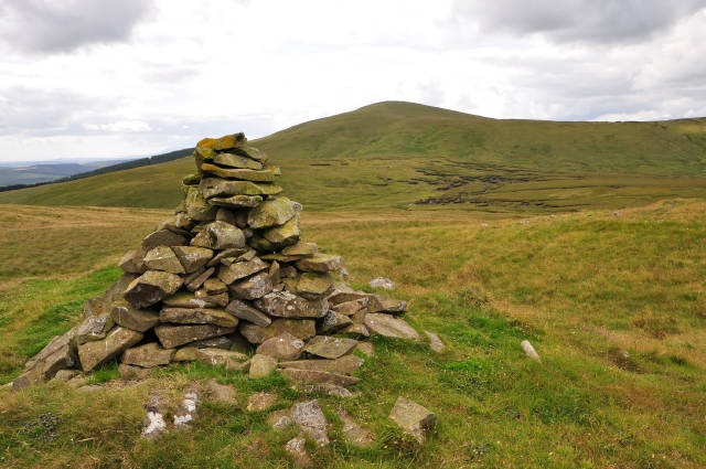
Annant Scar Cleuch Images
Images are sourced within 2km of 55.312719/-3.5778886 or Grid Reference NS9903. Thanks to Geograph Open Source API. All images are credited.


Annant Scar Cleuch is located at Grid Ref: NS9903 (Lat: 55.312719, Lng: -3.5778886)
Unitary Authority: Dumfries and Galloway
Police Authority: Dumfries and Galloway
What 3 Words
///truth.hologram.silence. Near Beattock, Dumfries & Galloway
Nearby Locations
Related Wikis

Queensberry (hill)
Queensberry is a hill in the Lowther Hills range, part of the Southern Uplands of Scotland. The most southerly mountain in the range, it lies in the parish...
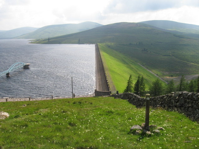
Daer Reservoir
Daer Reservoir is a man-made waterbody created by the damming of the Daer Water, a tributary of the River Clyde in the Southern Uplands of Scotland. It...

Ballencleuch Law
Ballencleuch Law is a hill in the Lowther Hills range, part of the Southern Uplands of Scotland. Surrounded on most sides by tracks or roads, there are...

Auchencastle railway station
Auchencastle railway station was a private station which served Auchencastle, near Beattock, in the Scottish county of Dumfries and Galloway. It was used...
Have you been to Annant Scar Cleuch?
Leave your review of Annant Scar Cleuch below (or comments, questions and feedback).