Hallcat Gill
Valley in Cumberland Copeland
England
Hallcat Gill

Hallcat Gill is a small valley located in the picturesque region of Cumberland, England. Nestled in the heart of the Lake District National Park, this hidden gem offers breathtaking natural beauty and a tranquil atmosphere for visitors to enjoy.
Surrounded by rolling hills and lush greenery, Hallcat Gill is known for its stunning landscapes and diverse wildlife. The gill itself is a narrow ravine carved out by a small stream, creating a peaceful oasis for nature enthusiasts and hikers alike. The soothing sound of running water adds to the serenity of the area, making it an ideal spot for relaxation and contemplation.
The flora and fauna found in Hallcat Gill are abundant and diverse. The valley is home to a variety of wildflower species that bloom in vibrant colors during the spring and summer months. Visitors may also encounter rare bird species, such as the redstart and pied flycatcher, as they nest and feed in the area.
For those seeking outdoor adventures, Hallcat Gill offers excellent hiking opportunities. There are several well-marked trails that wind through the valley, providing breathtaking views of the surrounding countryside. The terrain varies from gentle slopes to more challenging inclines, catering to all levels of fitness and expertise.
In conclusion, Hallcat Gill is a hidden gem in Cumberland, England, offering a peaceful escape into nature's embrace. Its stunning landscapes, diverse flora and fauna, and excellent hiking trails make it a must-visit destination for nature lovers and outdoor enthusiasts.
If you have any feedback on the listing, please let us know in the comments section below.
Hallcat Gill Images
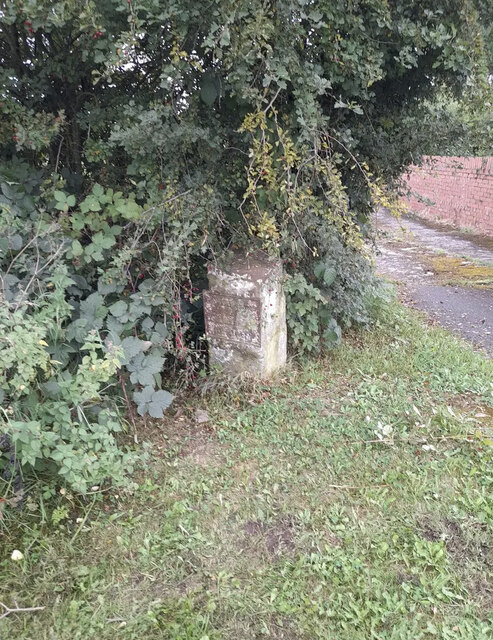
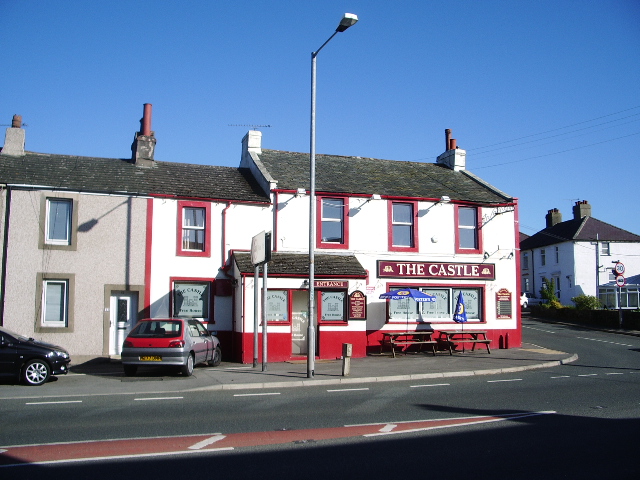
Images are sourced within 2km of 54.595443/-3.5502877 or Grid Reference NX9923. Thanks to Geograph Open Source API. All images are credited.


Hallcat Gill is located at Grid Ref: NX9923 (Lat: 54.595443, Lng: -3.5502877)
Administrative County: Cumbria
District: Copeland
Police Authority: Cumbria
What 3 Words
///dictation.breathed.bongo. Near Distington, Cumbria
Nearby Locations
Related Wikis

Distington
Distington () is a large village and civil parish in Cumbria, England, 3 miles (4.8 km) south of Workington and 4 miles (6.4 km) north of Whitehaven. Historically...
Common End, Cumbria
Common End is a hamlet within the civil parish of Distington in Cumbria, England. Common End was on the A595 road until it was by-passed. == References ==
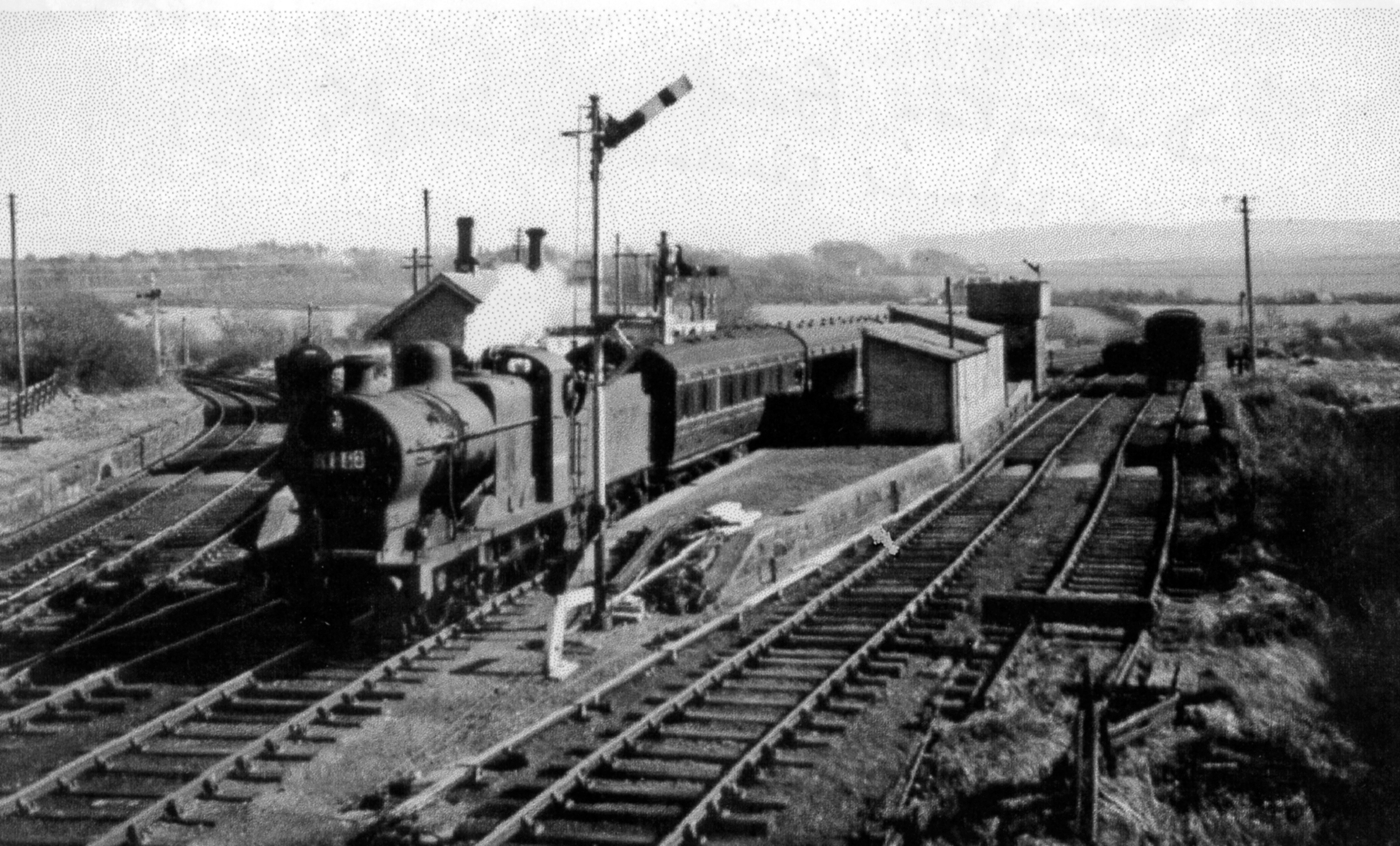
Distington railway station
Distington railway station was opened jointly by the Cleator and Workington Junction Railway (C&WJR) and the LNWR and Furness Joint Railway (The Joint...
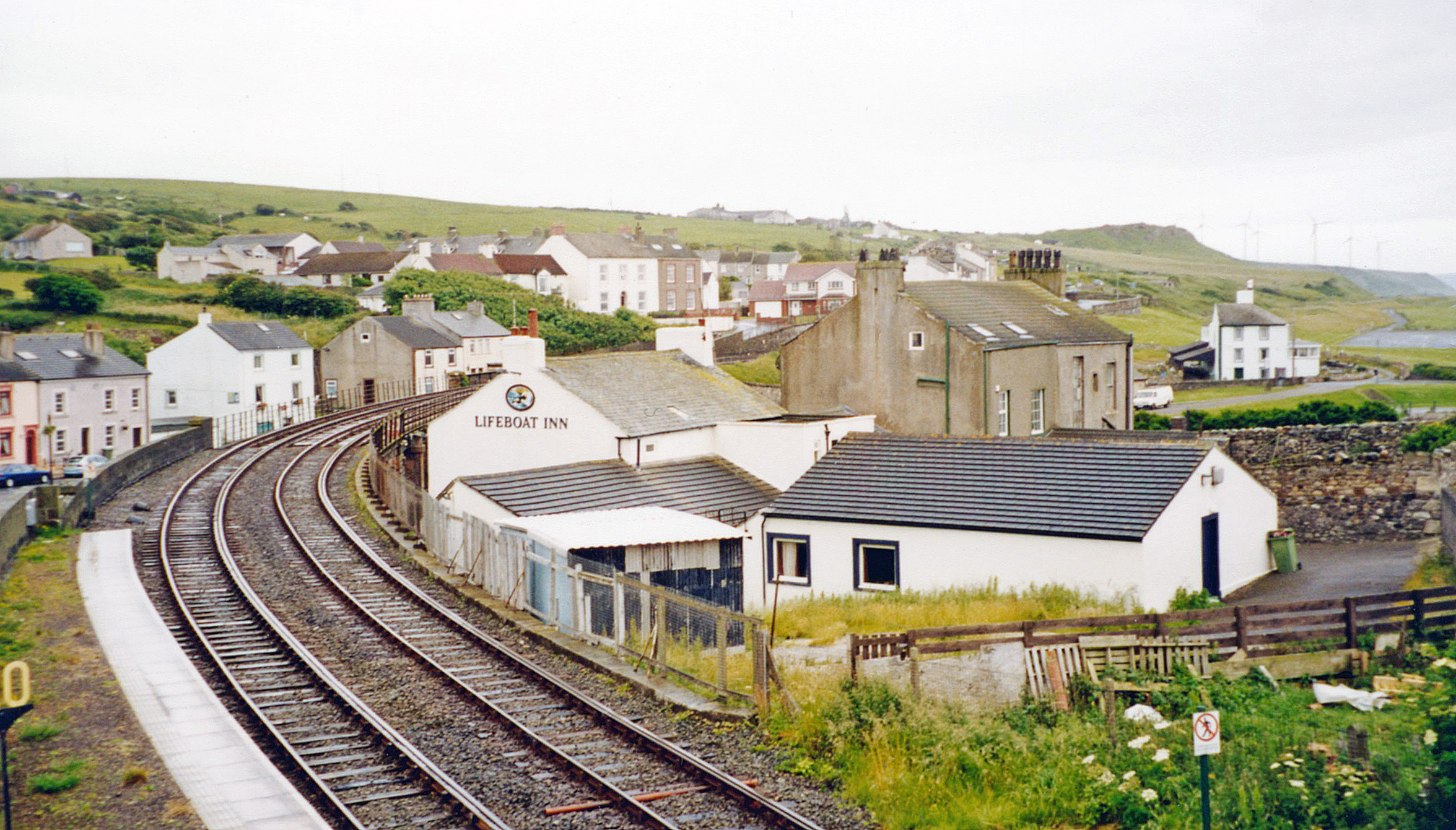
Copperas Hill railway station
Copperas Hill railway station served the small clifftop community of Copperas Hill, south of Harrington in the former county of Cumberland, England, which...
Nearby Amenities
Located within 500m of 54.595443,-3.5502877Have you been to Hallcat Gill?
Leave your review of Hallcat Gill below (or comments, questions and feedback).