Cwm y Saeson

Valley in Radnorshire

Wales

Cwm y Saeson

Penlan from Cefn Cenarth View towards Penlan from Cefn Cenarth
Penlan from Cefn Cenarth Credit: peter barnes

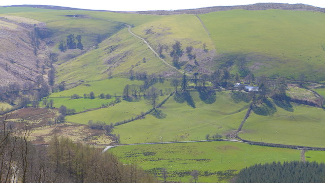
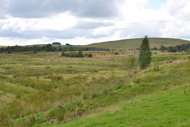
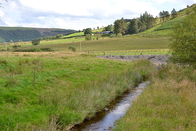
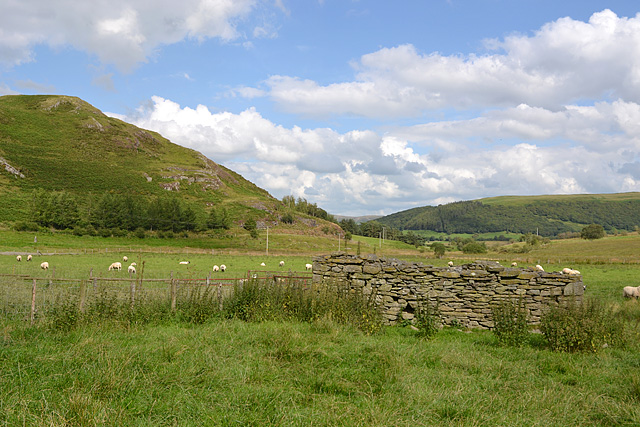
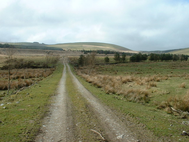
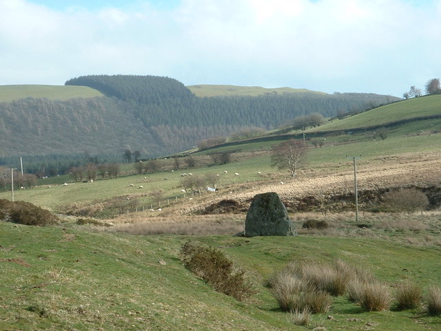
Cwm y Saeson, located in the county of Radnorshire, Wales, is a picturesque valley renowned for its stunning natural beauty and rich history. Nestled amidst the rolling hills of the Welsh countryside, this idyllic valley offers a tranquil and peaceful retreat for visitors seeking a break from the hustle and bustle of modern life.

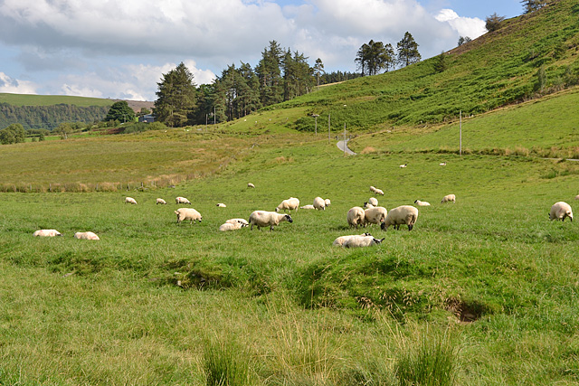
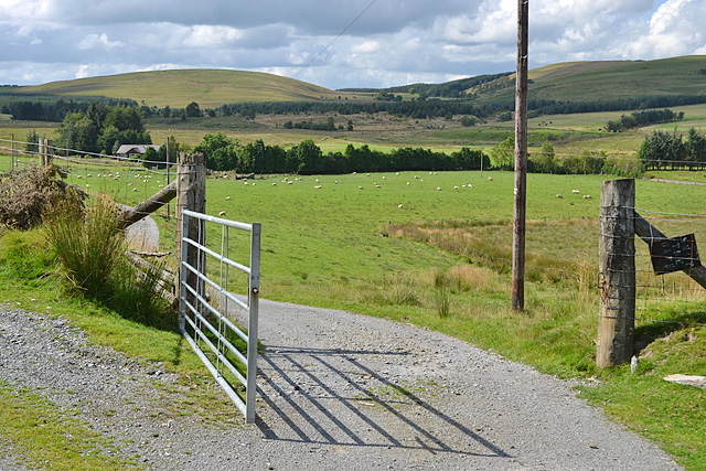
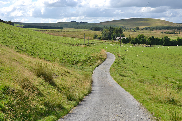
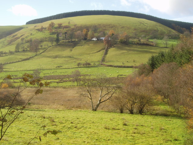
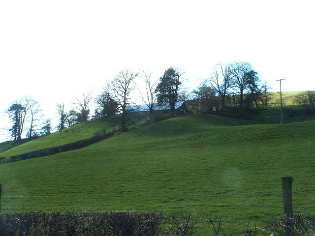
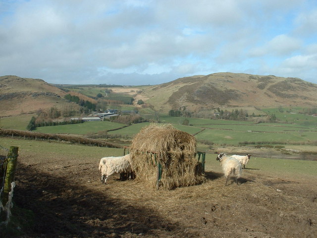
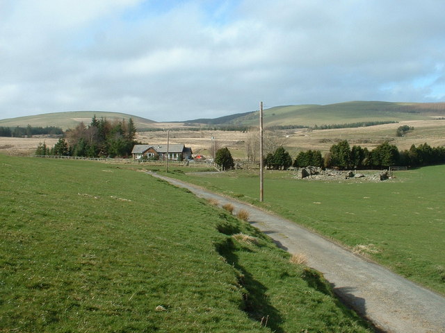
The valley is traversed by the meandering waters of the River Wye, which adds to the charm and allure of the area. Lush green pastures, ancient woodlands, and cascading waterfalls dot the landscape, creating a haven for nature enthusiasts and hikers. The valley is home to a diverse array of wildlife, including otters, kingfishers, and rare species of birds, making it a paradise for birdwatchers and wildlife photographers.

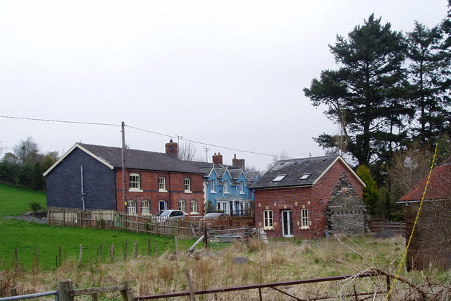
Cwm y Saeson has a rich historical heritage, with evidence of human settlement dating back thousands of years. Ruins of ancient castles and historic buildings can be found scattered throughout the valley, providing a glimpse into the region's past. The valley also played a significant role during the industrial revolution, with remnants of old mines and industrial sites still visible.

For those seeking outdoor activities, Cwm y Saeson offers a range of opportunities, including hiking, cycling, fishing, and horse riding. The valley is crisscrossed by a network of well-maintained trails that cater to all levels of experience, offering breathtaking views of the surrounding landscape.

With its natural beauty, rich history, and abundance of outdoor activities, Cwm y Saeson is a must-visit destination for those looking to immerse themselves in the beauty of the Welsh countryside.

If you have any feedback on the listing, please let us know in the comments section below.
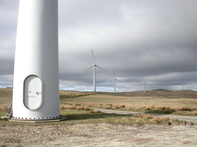
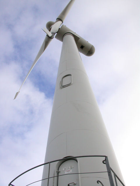
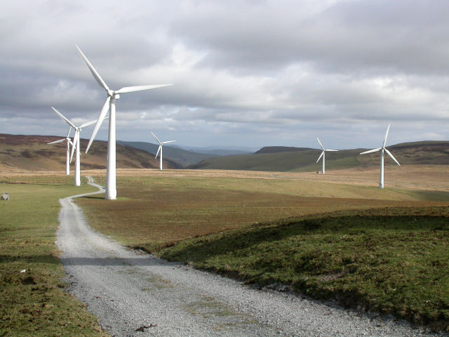
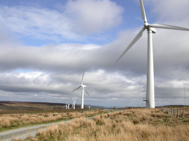
Cwm y Saeson Images

Images are sourced within 2km of 52.372413/-3.5569784 or Grid Reference SN9476. Thanks to Geograph Open Source API. All images are credited.

Penlan from Cefn Cenarth View towards Penlan from Cefn Cenarth
Penlan from Cefn Cenarth
View towards Penlan from Cefn Cenarth
Rhos Fawr Damp moorland, with remnants of forestry.
Rhos Fawr
Damp moorland, with remnants of forestry.
The infant Afon Dulas Just making it into the square. Gellidywyll farm can be seen on the hill.
The infant Afon Dulas
Just making it into the square. Gellidywyll farm can be seen on the hill.
Ruins on the valley floor It could be a sheep fold, but looks more like the remains of a building.
Ruins on the valley floor
It could be a sheep fold, but looks more like the remains of a building.
Sheep on the valley floor Some finding it hot in the sun.
Sheep on the valley floor
Some finding it hot in the sun.
Gate on the road With the hinterland of the Afon Dulas lying beyond.

This gate, being out in the open, is fine. The worst gate, in the shade by Gellidywyll farm, attracts sheep in hot weather, so requires wading through sheep droppings to open. The third gate you need to open on this road is only moderately fouled up.
Gate on the road
With the hinterland of the Afon Dulas lying beyond. This gate, being out in the open, is fine. The worst gate, in the shade by Gellidywyll farm, attracts sheep in hot weather, so requires wading through sheep droppings to open. The third gate you need to open on this road is only moderately fouled up.
Minor road at the head of the Dulas valley Passing through open fields at this point.
Minor road at the head of the Dulas valley
Passing through open fields at this point.
Cefn Pen-lan from the west Penlan farm on the hillside
Cefn Pen-lan from the west
Penlan farm on the hillside
Bryn Titli Wind Farm - WTG12 and others The quoted grid reference relates to wind turbine WTG12, the base of which can be seen in the foreground. Beyond, lie turbines WTG11, WTG10, WTG9 and WTG8, also situated in this square. In the distance, are WTG7 (behind and slightly to the right of WTG9), which is in <a href="https://www.geograph.org.uk/gridref/SN9276">SN9276</a>, and WTG6 (extreme right), which is in <a href="https://www.geograph.org.uk/gridref/SN9376">SN9376</a>. Elevation at this point is ~470m. Position verified by GPS.
Bryn Titli Wind Farm - WTG12 and others
The quoted grid reference relates to wind turbine WTG12, the base of which can be seen in the foreground. Beyond, lie turbines WTG11, WTG10, WTG9 and WTG8, also situated in this square. In the distance, are WTG7 (behind and slightly to the right of WTG9), which is in SN9276, and WTG6 (extreme right), which is in SN9376. Elevation at this point is ~470m. Position verified by GPS.
Bryn Titli Wind Farm - WTG12 Wind turbine WTG12 is one of 22 turbines on this wind farm. On the day this photo was taken, it was the only one not running. Position verified by GPS.
Bryn Titli Wind Farm - WTG12
Wind turbine WTG12 is one of 22 turbines on this wind farm. On the day this photo was taken, it was the only one not running. Position verified by GPS.
Bryn Titli Wind Farm - WTG15-20 This picture shows wind turbines WTG15 (nearest to the camera), WTG16, WTG17, WTG18, WTG19 and WTG20. Beyond (and out of view to the right), stand WTG21 and WTG22, which are also in this square. The shadow of WTG14 can be seen in the foreground. There is one more turbine in this square, WTG13, situated behind the camera. Position verified by GPS.
Bryn Titli Wind Farm - WTG15-20
This picture shows wind turbines WTG15 (nearest to the camera), WTG16, WTG17, WTG18, WTG19 and WTG20. Beyond (and out of view to the right), stand WTG21 and WTG22, which are also in this square. The shadow of WTG14 can be seen in the foreground. There is one more turbine in this square, WTG13, situated behind the camera. Position verified by GPS.
Bryn Titli Wind Farm The track and grass in the foreground, and also the fence to the right, all lie in the corner of this square. The wind turbines - WTG13 and WTG14 being the closest to the camera - are situated in <a href="https://www.geograph.org.uk/gridref/SN9374">SN9374</a>. Position verified by GPS.
Bryn Titli Wind Farm
The track and grass in the foreground, and also the fence to the right, all lie in the corner of this square. The wind turbines - WTG13 and WTG14 being the closest to the camera - are situated in SN9374. Position verified by GPS.
Bryn Titli Wind Farm - WTG14 This is one of the 22 turbines on this wind farm and is capable of generating 450kW. Standing directly underneath, as the blades slice through the air, is truly exhilarating! Position verified by GPS.
Bryn Titli Wind Farm - WTG14
This is one of the 22 turbines on this wind farm and is capable of generating 450kW. Standing directly underneath, as the blades slice through the air, is truly exhilarating! Position verified by GPS.
Penlan farm On the slopes of Cefn Pen-lan.
Penlan farm
On the slopes of Cefn Pen-lan.
The last of the winter feed Looking towards Cefn Llech farm, nestled between Craig Cefn-llech and Garreg y Gwynt.
The last of the winter feed
Looking towards Cefn Llech farm, nestled between Craig Cefn-llech and Garreg y Gwynt.
Bungalows old and new Not named on the map. Only the foundations and lower walls of the old dwelling still exist - it may not have been a bungalow.
Bungalows old and new
Not named on the map. Only the foundations and lower walls of the old dwelling still exist - it may not have been a bungalow.
Forestry track The large forest area shown on the map as covering half this square has been mostly cleared.
Forestry track
The large forest area shown on the map as covering half this square has been mostly cleared.
Standing stone
Standing stone
Show me another place!

Cwm y Saeson is located at Grid Ref: SN9476 (Lat: 52.372413, Lng: -3.5569784)

Unitary Authority: Powys

Police Authority: Dyfed Powys

What 3 Words

///rams.recover.protrude. Near Rhayader, Powys

Nearby Locations

Cwm y Saeson

Related Wikis

Garreg Lwyd (Rhayader)

Garreg Lwyd is a hill in Mid Wales, between the towns of Rhayader and Llangurig. It rises to the east above the A470 as it follows the Wye Valley. The...

Mid and West Wales

Mid and West Wales or Mid and South West Wales is an ambiguous region of Wales that is sometimes used, consisting broadly of the preserved counties of...

Pantydwr railway station

Pantydwr railway station was a station to the north of St Harmon, Powys, Wales. The station was opened in 1864. The station was built at the highest point...

Llangurig

Llangurig is both a village and a community in Montgomeryshire, Powys, Wales. The population was 723 in the 2011 UK Census. The community includes the...

Nearby Amenities

Located within 500m of 52.372413,-3.5569784
The data included in this document is from www.openstreetmap.org. The data is made available under ODbL.

Have you been to Cwm y Saeson?

Leave your review of Cwm y Saeson below (or comments, questions and feedback).