Ceunant Morgan

Valley in Merionethshire

Wales

Ceunant Morgan

Arched Entrance to Rhiwlas Estate
Arched Entrance to Rhiwlas Estate Credit: David Robinson

Ceunant Morgan is a picturesque valley located in the county of Merionethshire, Wales. Nestled amidst the stunning Welsh countryside, this valley offers visitors a tranquil and idyllic escape from the hustle and bustle of city life.

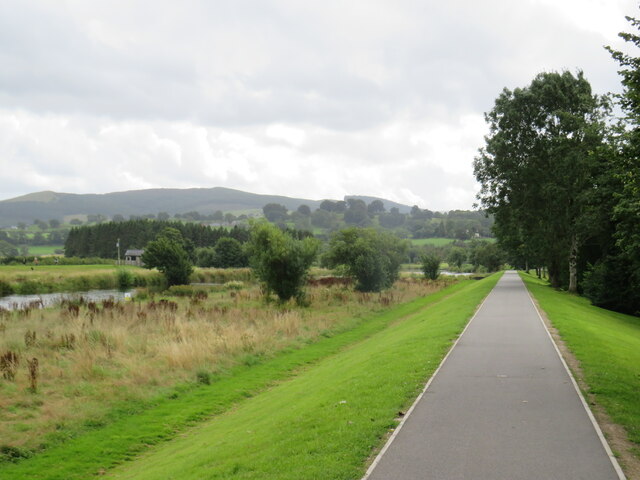
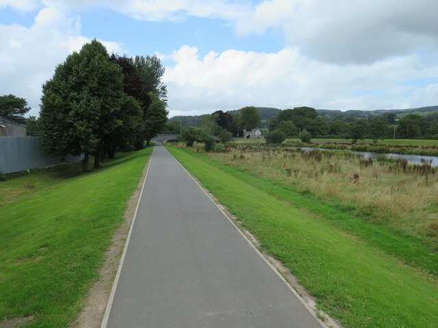
The valley is characterized by its steep slopes, lush greenery, and a meandering river that flows through its heart. The river, known as Ceunant Morgan River, adds to the valley's beauty and provides a soothing ambiance with the gentle sound of flowing water.

Ceunant Morgan is home to a diverse range of flora and fauna, making it a haven for nature lovers and wildlife enthusiasts. The valley's rich biodiversity includes various species of birds, mammals, and plant life, creating a perfect setting for hiking, birdwatching, and photography.

For those seeking adventure, the valley offers numerous hiking trails, some of which lead to breathtaking viewpoints overlooking the surrounding landscape. The trails cater to all levels of fitness, making it accessible to both casual walkers and experienced hikers.

In addition to its natural beauty, Ceunant Morgan has a rich cultural heritage. The valley is dotted with ancient ruins, including the remains of old stone houses and a historic mill. These relics serve as a reminder of the valley's past and add a touch of history to its charm.

Overall, Ceunant Morgan in Merionethshire is a hidden gem that showcases the beauty of the Welsh countryside. With its stunning landscapes, diverse wildlife, and rich history, it offers a perfect retreat for nature enthusiasts and those seeking a peaceful getaway.

If you have any feedback on the listing, please let us know in the comments section below.

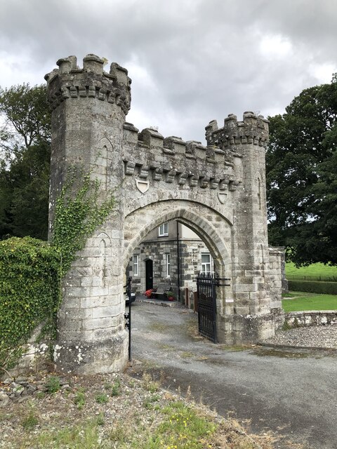
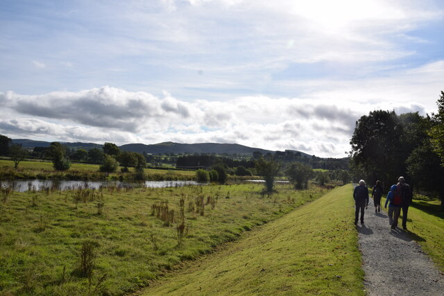
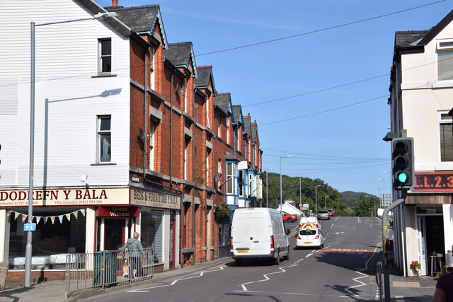
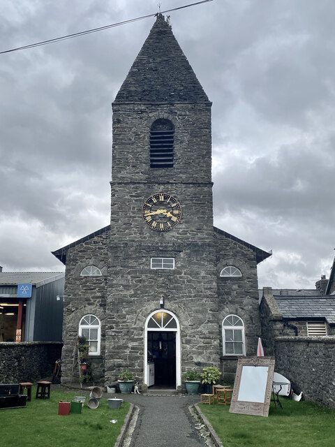
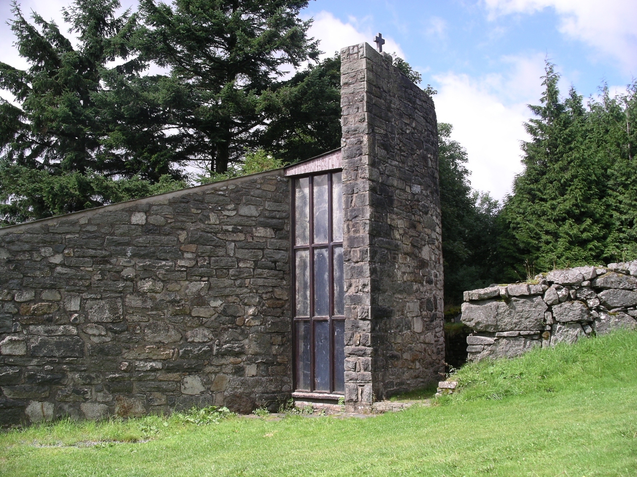
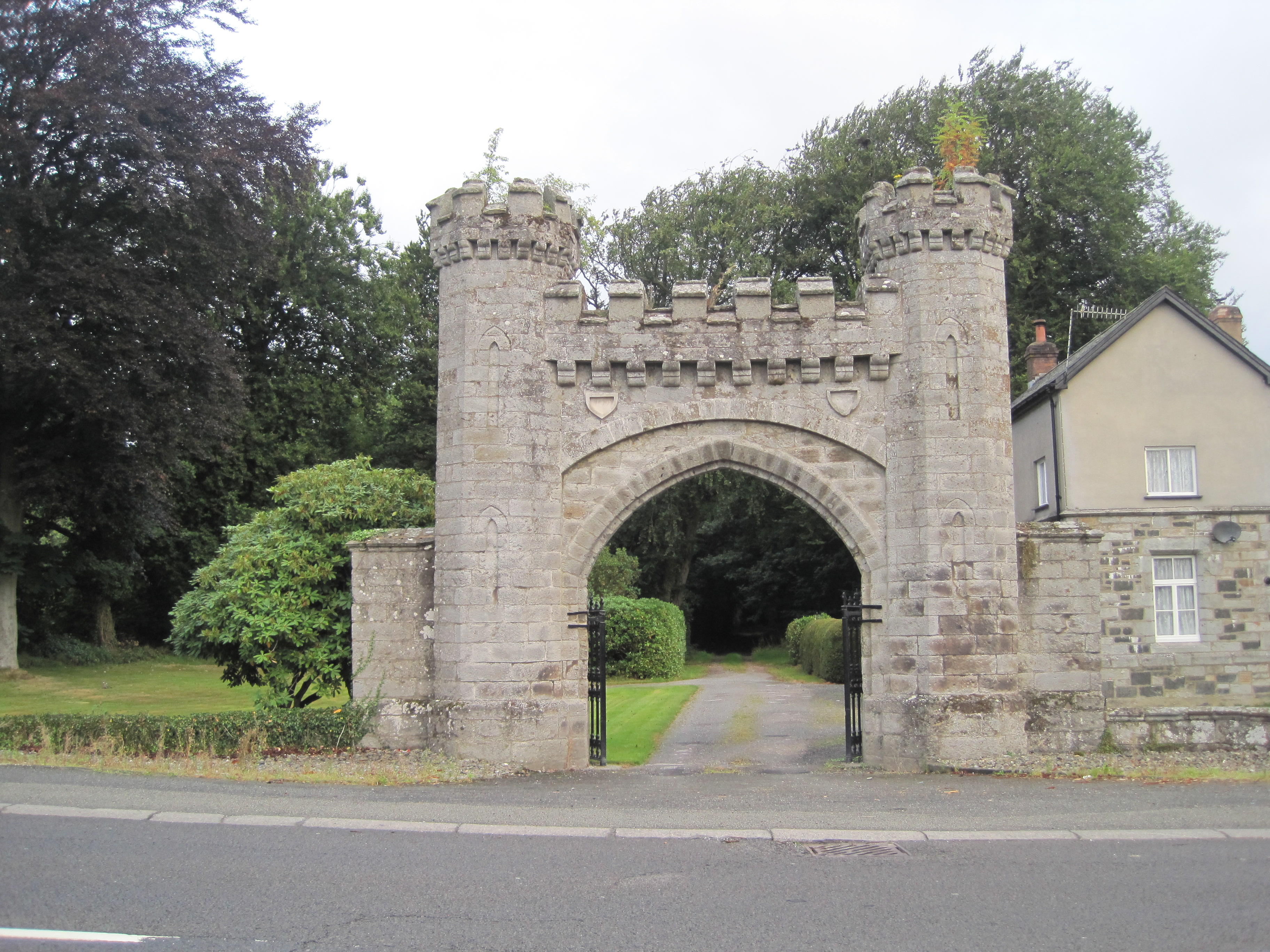
Ceunant Morgan Images

Images are sourced within 2km of 52.924811/-3.5801969 or Grid Reference SH9337. Thanks to Geograph Open Source API. All images are credited.

Arched Entrance to Rhiwlas Estate
Raised walkway beside the Afon Tryweryn East of Bala and a short distance from the confluence of this river and the Afon Dyfrdwy (River Dee).
Raised walkway beside the Afon Tryweryn
East of Bala and a short distance from the confluence of this river and the Afon Dyfrdwy (River Dee).
Heol Yr Orsaf (Station Road), Bala The station here is long gone. Looking towards Pont-y-Bala/Pont Tryweryn.
Heol Yr Orsaf (Station Road), Bala
The station here is long gone. Looking towards Pont-y-Bala/Pont Tryweryn.
Capel Hefin Former chapel, now an antiques store in Bala.
Capel Hefin
Former chapel, now an antiques store in Bala.
Gwesty’r Plas Coch
Gwesty’r Plas Coch
Junction of the B4401 and A494 near Llanfor
B4401 near Meloch
B4401 near Meloch
Bala town centre
Bala town centre
The A494 north at Llanfor village sign
The A494 north at turning for B4401
Christ Church, Bala Christ Church is the main Anglican Church in Bala.
Christ Church, Bala
Christ Church is the main Anglican Church in Bala.
Y Stryd Fawr (High Street), Bala Y Stryd Fawr (or High Street in the English language) in the town of Bala on the edge of Snowdonia National Park.

This road is on the route of the A494.

The statue to the left of the image is of Thomas Ellis (1859-1899), born near Bala who became a Member of Parliament and a leading advocate for home rule for Wales.
Y Stryd Fawr (High Street), Bala
Y Stryd Fawr (or High Street in the English language) in the town of Bala on the edge of Snowdonia National Park. This road is on the route of the A494. The statue to the left of the image is of Thomas Ellis (1859-1899), born near Bala who became a Member of Parliament and a leading advocate for home rule for Wales.
Heol yr Orsaf (Station Road), Bala Heol yr Orsaf (or Station Road in the English language) is on the route of the A494 road as it passes through the town of Bala, on the edge of Snowdonia National Park.  The road led to Bala's railway station, which closed in 1965.
Heol yr Orsaf (Station Road), Bala
Heol yr Orsaf (or Station Road in the English language) is on the route of the A494 road as it passes through the town of Bala, on the edge of Snowdonia National Park. The road led to Bala's railway station, which closed in 1965.
Bala fire station The fire station in the town of Bala, on the edge of Snowdonia National Park.
Bala fire station
The fire station in the town of Bala, on the edge of Snowdonia National Park.
Site of Bala railway station A traditional semaphore railway signal stands in a car park in Bala, on the edge of Snowdonia National Park.  The signal is an indication that Bala's railway station once stood on this site.  The station closed in 1965, during the era of the "Beeching Cuts".

The single storey building in the centre of the image is a public toilet.
Site of Bala railway station
A traditional semaphore railway signal stands in a car park in Bala, on the edge of Snowdonia National Park. The signal is an indication that Bala's railway station once stood on this site. The station closed in 1965, during the era of the "Beeching Cuts". The single storey building in the centre of the image is a public toilet.
Riverside path, Bala A path along the bank of Afon Tryweryn in Bala, on the edge of Snowdonia National Park.

The four-arch bridge carries the A494 road across the river.
Riverside path, Bala
A path along the bank of Afon Tryweryn in Bala, on the edge of Snowdonia National Park. The four-arch bridge carries the A494 road across the river.
Riverside path, Bala A path along the bank of Afon Tryweryn in Bala, on the edge of Snowdonia National Park.
Riverside path, Bala
A path along the bank of Afon Tryweryn in Bala, on the edge of Snowdonia National Park.
Riverside path, Bala A path along the bank of Afon Tryweryn in Bala, on the edge of Snowdonia National Park.
Riverside path, Bala
A path along the bank of Afon Tryweryn in Bala, on the edge of Snowdonia National Park.
Show me another place!

Ceunant Morgan is located at Grid Ref: SH9337 (Lat: 52.924811, Lng: -3.5801969)

Unitary Authority: Gwynedd

Police Authority: North Wales

What 3 Words

///slap.suckle.relegate. Near Bala, Gwynedd

Nearby Locations

Ceunant Morgan

Related Wikis

Roman Catholic Diocese of Wrexham

The Diocese of Wrexham, is a Latin Church ecclesiastical territory or diocese of the Catholic Church in Wales. The diocese is a suffragan in the ecclesiastical...

Afon Tryweryn

The Tryweryn is a river in the north of Wales which starts at Llyn Tryweryn in the Snowdonia National Park and after 19 kilometres (12 mi) joins the river...

Llanfor

Llanfor is a village in Gwynedd, Wales near the town of Bala, in the community of Llandderfel. == History == There is evidence of an Iron Age Hill Fort...

Rhiwlas, Llandderfel

Rhiwlas is an estate about 1 km (0.62 mi) to the north of the town of Bala, Wales. It has been in the possession of the Price family for over four centuries...

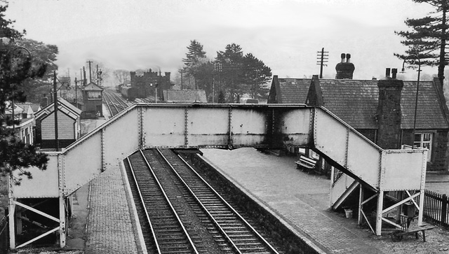
Bala (New) railway station

Bala railway station was on the Great Western Railway's Bala Ffestiniog Line in Wales. It replaced the first Bala station which was further away from the...
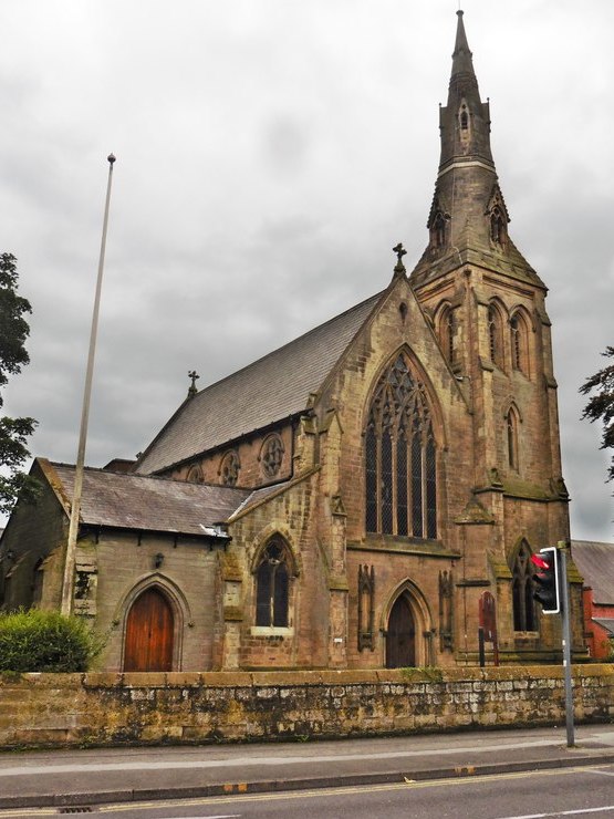
Christ Church, Bala

Christ Church, Bala, is in Bala, Gwynedd, Wales (grid reference SH926362). It is an active Anglican church in the deanery of Penllyn & Edeyrnion, the...

Ysgol y Berwyn

Ysgol y Berwyn is a high-school situated in the town of Bala, in Gwynedd, north Wales.According to the 2013 Estyn report, 79% of pupils are from Welsh...
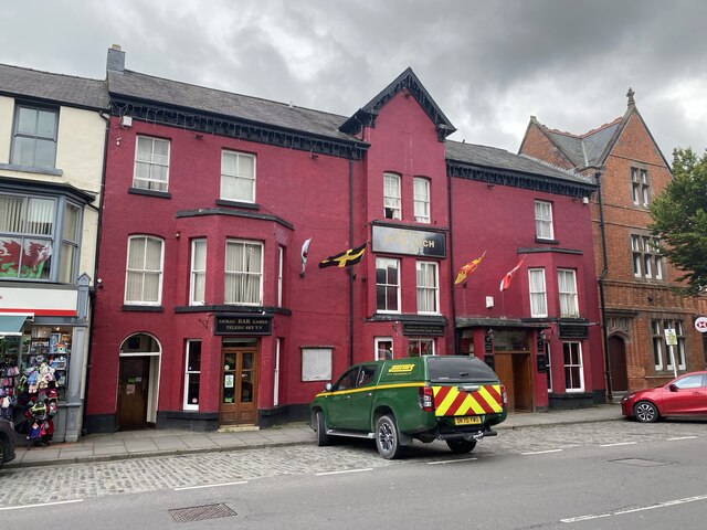
Bala, Gwynedd

Bala (Welsh: Y Bala) is a town and community in Gwynedd, Wales. Formerly an urban district, Bala lies in the historic county of Merionethshire, at the...

Nearby Amenities

Located within 500m of 52.924811,-3.5801969
Power: pole
Lat/Long: 52.9234624/-3.5867642
Man Made: tower
Lat/Long: 52.9240376/-3.5765827
Power: pole
Lat/Long: 52.9219818/-3.5845636
Power: pole
Lat/Long: 52.9231209/-3.5842882
Power: pole
Lat/Long: 52.9240054/-3.5840521
Power: pole
Lat/Long: 52.9254251/-3.5836793
Power: pole
Lat/Long: 52.9263921/-3.5834138
Power: pole
Lat/Long: 52.9273897/-3.5831804
Power: pole
Lat/Long: 52.928486/-3.5829122
Power: pole
Lat/Long: 52.92529/-3.5869556
Power: pole
Lat/Long: 52.9215877/-3.5836398
Power: pole
Lat/Long: 52.9257533/-3.5870107
The data included in this document is from www.openstreetmap.org. The data is made available under ODbL.

Have you been to Ceunant Morgan?

Leave your review of Ceunant Morgan below (or comments, questions and feedback).