Glen Eagles
Valley in Perthshire
Scotland
Glen Eagles
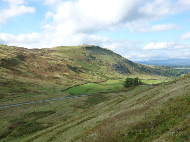
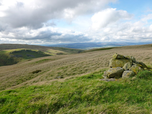
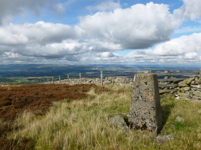
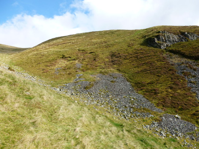
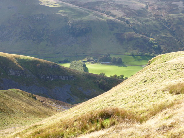
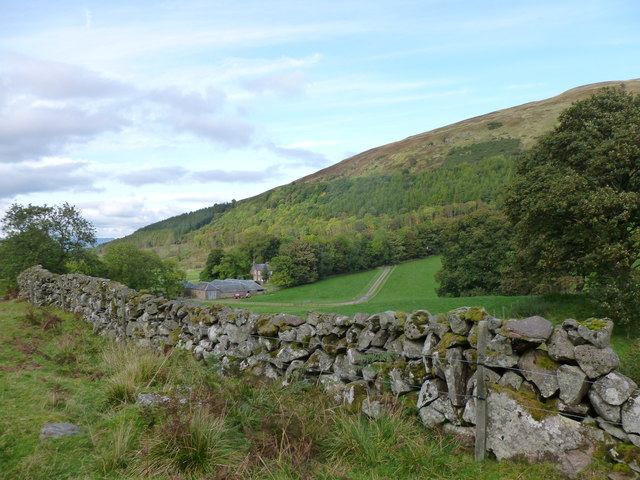
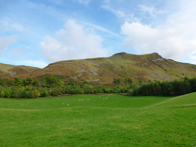
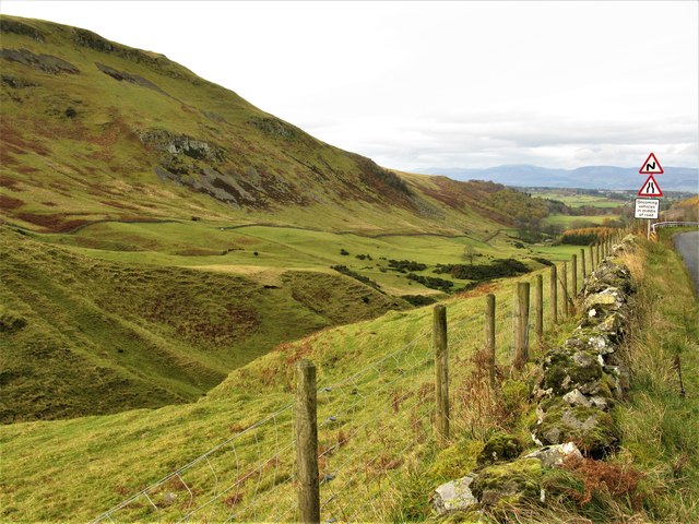
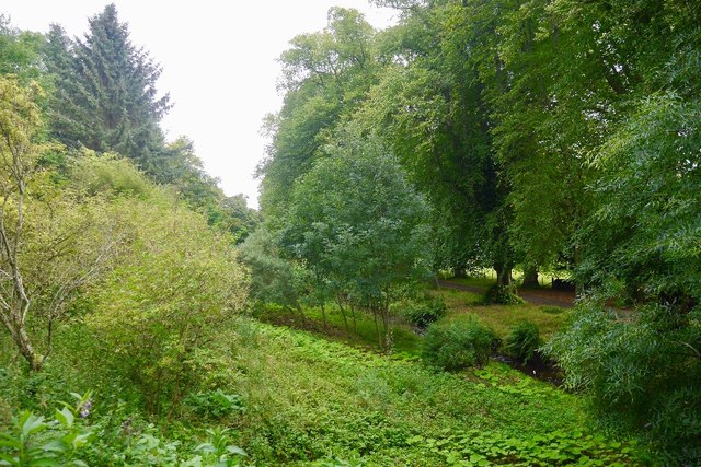
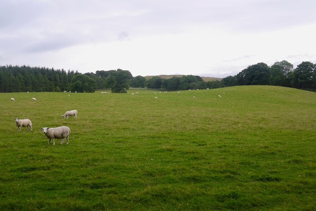
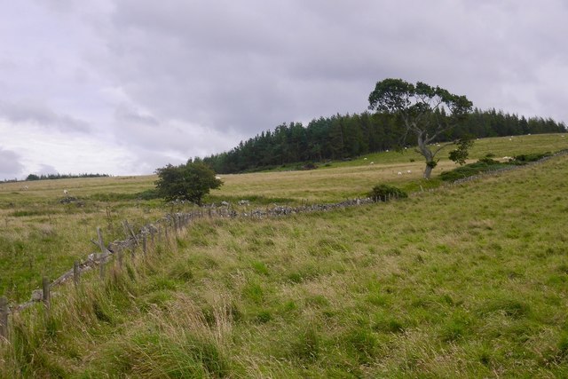
Glen Eagles, located in Perthshire, Scotland, is a picturesque valley renowned for its natural beauty and world-class golf courses. Situated at the foot of the Ochil Hills, the glen offers breathtaking views of rolling green landscapes, tranquil lochs, and majestic mountains.
The area is most famous for its golfing facilities, particularly the prestigious Gleneagles Hotel and Resort. Gleneagles has three championship courses, including the King's Course, Queen's Course, and the PGA Centenary Course, which hosted the 2014 Ryder Cup. These courses attract golf enthusiasts from around the globe who come to enjoy top-notch facilities and challenging fairways.
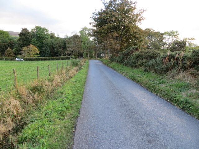
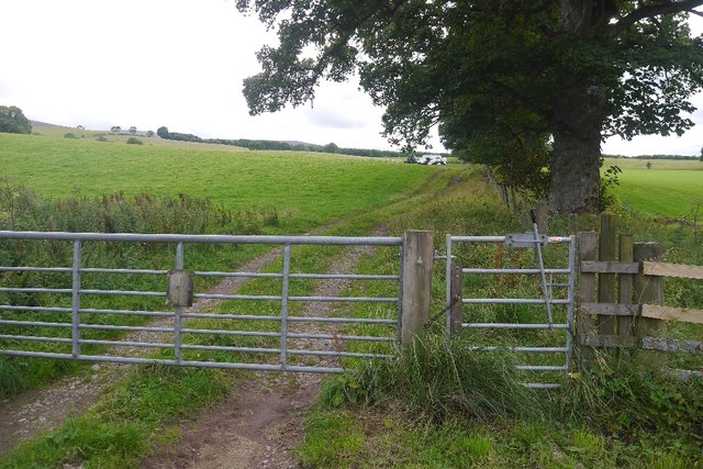
Beyond golf, Glen Eagles offers a range of outdoor activities. The glen is a haven for hiking and walking enthusiasts, with numerous trails that cater to all fitness levels. Visitors can explore the stunning countryside, encountering diverse flora and fauna along the way.
The nearby village of Auchterarder is a charming destination for visitors. It features a selection of quaint shops, cafes, and restaurants, offering a taste of local produce and traditional Scottish cuisine. History buffs can also explore the Auchterarder Parish Church, a historic site dating back to the 13th century.
Overall, Glen Eagles in Perthshire is a destination that combines natural beauty, luxury, and outdoor adventure. With its magnificent golf courses, breathtaking scenery, and warm Scottish hospitality, it is a must-visit location for both golf enthusiasts and nature lovers alike.
If you have any feedback on the listing, please let us know in the comments section below.
Glen Eagles Images
Images are sourced within 2km of 56.246788/-3.714827 or Grid Reference NN9307. Thanks to Geograph Open Source API. All images are credited.


Glen Eagles is located at Grid Ref: NN9307 (Lat: 56.246788, Lng: -3.714827)
Unitary Authority: Perth and Kinross
Police Authority: Tayside
What 3 Words
///lobby.couriers.denser. Near Auchterarder, Perth & Kinross
Nearby Locations
Related Wikis
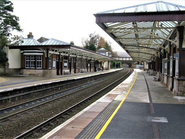
Gleneagles railway station
Gleneagles railway station serves the town of Auchterarder in Perth and Kinross, Scotland. == History == The station was opened by the Scottish Central...

Strathdevon
Strathdevon is the strath of the River Devon in Clackmannanshire, Scotland. Strathdevon is associated with the parish of Muckhart and was up until 1971...
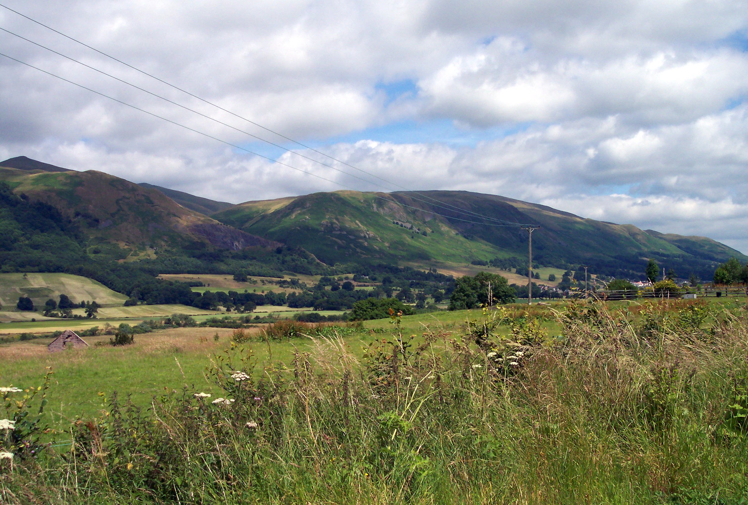
Ochil Hills
The Ochil Hills ( ; Scottish Gaelic: Monadh Ochail is a range of hills in Scotland north of the Forth valley bordered by the cities of Stirling, Perth...
Old Kincardine Castle, Auchterarder
Old Kincardine Castle was a 13th-century castle near Auchterarder in Perth and Kinross, Scotland. The castle was located on a promontory overlooking the...
Nearby Amenities
Located within 500m of 56.246788,-3.714827Have you been to Glen Eagles?
Leave your review of Glen Eagles below (or comments, questions and feedback).