Cwm Cefnydfa

Valley in Glamorgan

Wales

Cwm Cefnydfa

Shwt Cottages In the village of Shwt at the western edge of this square
Shwt Cottages Credit: Chris Shaw

The requested URL returned error: 429 Too Many Requests

If you have any feedback on the listing, please let us know in the comments section below.
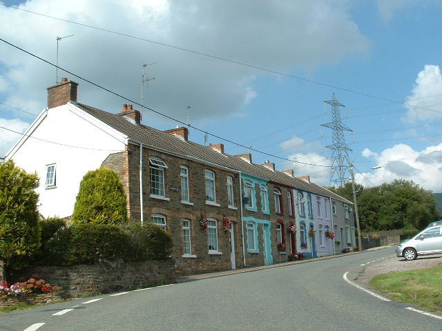
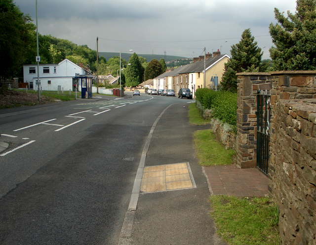
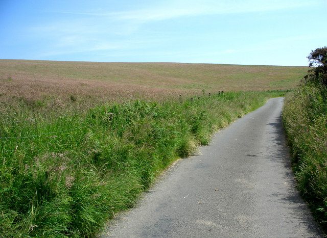
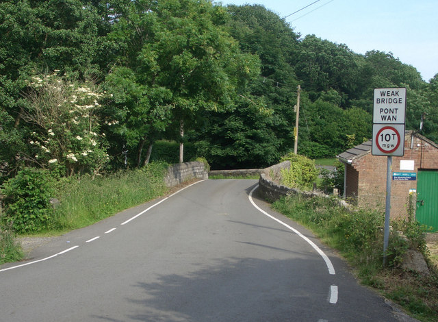
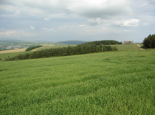
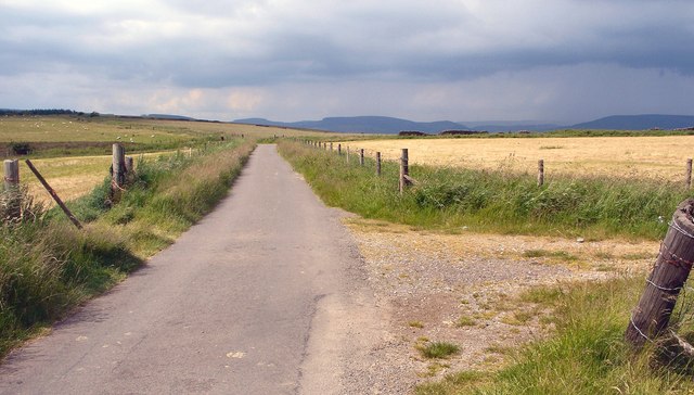
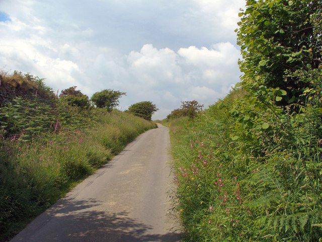
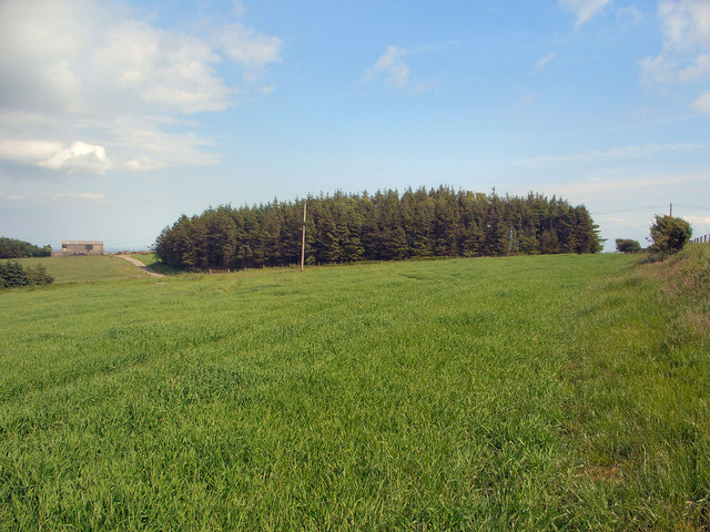
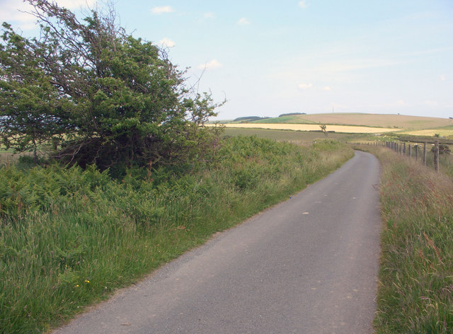
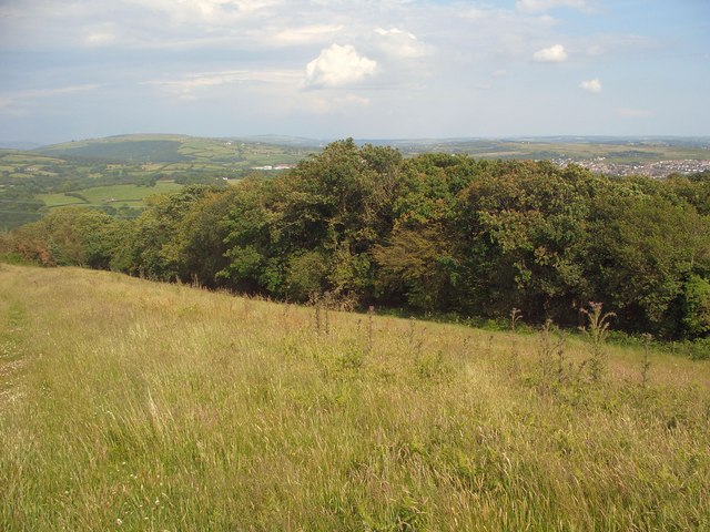
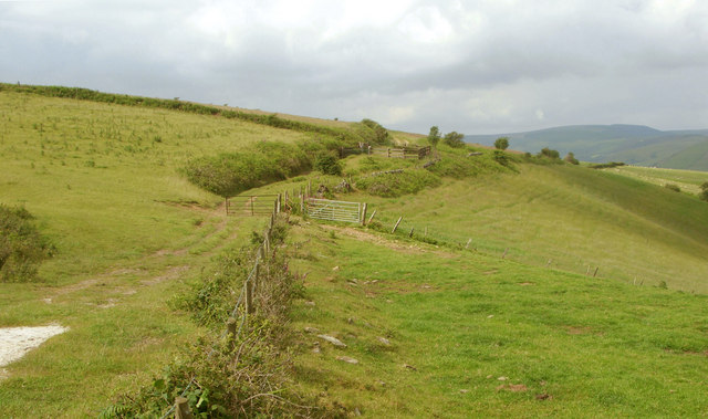
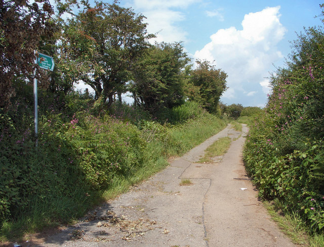
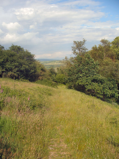
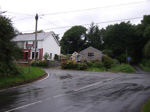
Cwm Cefnydfa Images

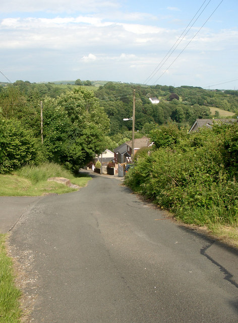
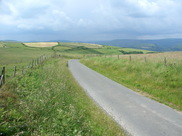
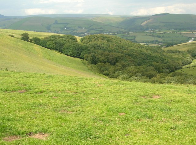
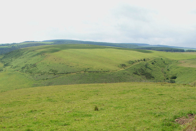
Images are sourced within 2km of 51.564278/-3.6189519 or Grid Reference SS8786. Thanks to Geograph Open Source API. All images are credited.

Shwt Cottages In the village of Shwt at the western edge of this square
Shwt Cottages
In the village of Shwt at the western edge of this square
The A 4063 at Coytrahen Northward view along the A 4063 road as it passes through the village of Coytrahen.
The A 4063 at Coytrahen
Northward view along the A 4063 road as it passes through the village of Coytrahen.
Lane and field by Mynydd Baedan Southward view of a stretch of the high lane which runs through the grid square. Also seen is part of a large field which seems to cover much of the west-facing slope of Mynydd Baedan.
Lane and field by Mynydd Baedan
Southward view of a stretch of the high lane which runs through the grid square. Also seen is part of a large field which seems to cover much of the west-facing slope of Mynydd Baedan.
Road bridge at Coytrahen Road bridge at the point where the minor road which runs eastwards from Coytrahen crosses the Llynfi River.
Road bridge at Coytrahen
Road bridge at the point where the minor road which runs eastwards from Coytrahen crosses the Llynfi River.
Steep road in Coytrahen Eastward view of the road in Coytrahen which is marked with a 1 in 7 to 1 in 5 gradient symbol on Ordnance Survey maps.
Steep road in Coytrahen
Eastward view of the road in Coytrahen which is marked with a 1 in 7 to 1 in 5 gradient symbol on Ordnance Survey maps.
High lane to the north of Ffordd-y-Gyfraith Looking roughly northwards along a stretch of the lane which passes through the grid square. This lane continues to run at altitude over hills through several grid squares to the north and north west of here.
High lane to the north of Ffordd-y-Gyfraith
Looking roughly northwards along a stretch of the lane which passes through the grid square. This lane continues to run at altitude over hills through several grid squares to the north and north west of here.
Cwm Nant-gwyn Wooded valley in the eastern half of the grid square as seen from a point adjacent to the junction of lane and footpath in the south of the square.
Cwm Nant-gwyn
Wooded valley in the eastern half of the grid square as seen from a point adjacent to the junction of lane and footpath in the south of the square.
Mynydd Ty-talwyn View from a roadside position near the centre of the grid square of the east and south facing slopes of Mynydd Ty-talwyn.
Mynydd Ty-talwyn
View from a roadside position near the centre of the grid square of the east and south facing slopes of Mynydd Ty-talwyn.
High fields and woodland to the west of Coytrahen Looking roughly eastwards over fields and patches of woodland on Mynydd Baedan from a footpath location in the western half of the grid square. The photograph covers much of the land in the middle and the north-eastern quarter of the square. The barn visible to the right lies close to the square's centre whereas scrutiny of Ordnance Survey's 1:25,000 map reveals that the eastern margin of the square passes through the rather isolated hillside line of trees towards the left of the picture. This line of trees also lies just a little to the south of the square's northern edge.
High fields and woodland to the west of Coytrahen
Looking roughly eastwards over fields and patches of woodland on Mynydd Baedan from a footpath location in the western half of the grid square. The photograph covers much of the land in the middle and the north-eastern quarter of the square. The barn visible to the right lies close to the square's centre whereas scrutiny of Ordnance Survey's 1:25,000 map reveals that the eastern margin of the square passes through the rather isolated hillside line of trees towards the left of the picture. This line of trees also lies just a little to the south of the square's northern edge.
Lane/ridgeway walk by Mynydd Ty-talwyn Looking north-northwest along the lane which passes through the south and west of the grid square. For the course of its passage through the square, and three others to the west and north west, this lane doubles as a stretch of the Ogwr Ridgeway Walk.
Lane/ridgeway walk by Mynydd Ty-talwyn
Looking north-northwest along the lane which passes through the south and west of the grid square. For the course of its passage through the square, and three others to the west and north west, this lane doubles as a stretch of the Ogwr Ridgeway Walk.
Ascending lane to the north of Ffordd-y-Gyfraith View, looking north-northwest from a point in the south of the grid square, of a lane nearing the end of a climb begun in the hamlet Ffordd-y-Gyfraith to the south.
Ascending lane to the north of Ffordd-y-Gyfraith
View, looking north-northwest from a point in the south of the grid square, of a lane nearing the end of a climb begun in the hamlet Ffordd-y-Gyfraith to the south.
Field and conifer plantation to the west of Coytrahen Photograph taken from a similar spot to <a href="https://www.geograph.org.uk/photo/847955">SS8785 : High fields and woodland to the west of Coytrahen</a>  though offering a more southerly view and showing a conifer plantation (mostly) not included in that other picture.
Field and conifer plantation to the west of Coytrahen
Photograph taken from a similar spot to SS8785 : High fields and woodland to the west of Coytrahen though offering a more southerly view and showing a conifer plantation (mostly) not included in that other picture.
Ridgeway walk towards Mynydd Baedan Looking south east along a stretch of the lane which passes through the grid square at a spot fairly close to the square's eastern margin. The 20 km Ogwr Ridgeway Walk follows the lane at this point and for over 1 km both to the south east and the north west of here; and in the distance can be seen Mynydd Baedan over whose slopes this walk continues by footpath once the lane is left to the south east.
Ridgeway walk towards Mynydd Baedan
Looking south east along a stretch of the lane which passes through the grid square at a spot fairly close to the square's eastern margin. The 20 km Ogwr Ridgeway Walk follows the lane at this point and for over 1 km both to the south east and the north west of here; and in the distance can be seen Mynydd Baedan over whose slopes this walk continues by footpath once the lane is left to the south east.
Woodland edge to the west of Coytrahen Looking roughly eastwards from a footpath towards an edge of the westernmost part of an area of woodland which occupies a good deal of the south of the grid square.
Woodland edge to the west of Coytrahen
Looking roughly eastwards from a footpath towards an edge of the westernmost part of an area of woodland which occupies a good deal of the south of the grid square.
Hillside track above Cwm Nant-gwyn Looking north-northeast along a farm track (beginning to the left of the fence in the foreground) from a position close to its junction with a lane in the south of the grid square. The track follows a course marked by a line of black dashes on Ordnance Survey's 1:50,000 map.
Hillside track above Cwm Nant-gwyn
Looking north-northeast along a farm track (beginning to the left of the fence in the foreground) from a position close to its junction with a lane in the south of the grid square. The track follows a course marked by a line of black dashes on Ordnance Survey's 1:50,000 map.
Footpath/track by Mynydd Baedan Looking along an initial stage of a track, also a public footpath, running up Mynydd Baedan at the point of its junction with the lane which passes through the grid square.
Footpath/track by Mynydd Baedan
Looking along an initial stage of a track, also a public footpath, running up Mynydd Baedan at the point of its junction with the lane which passes through the grid square.
Footpath to the west of Coytrahen Looking along the public footpath which runs down from Mynydd Baedan into Coytrahen at a point where it runs along the edge of an area of woodland in the southern half of the grid square. The path may appear rather faint in the photograph although on the ground it seems well defined, with there being little chance of losing one's way.
Footpath to the west of Coytrahen
Looking along the public footpath which runs down from Mynydd Baedan into Coytrahen at a point where it runs along the edge of an area of woodland in the southern half of the grid square. The path may appear rather faint in the photograph although on the ground it seems well defined, with there being little chance of losing one's way.
Road junction near Parc Slip Nature Park The road up to the junction from Fountain meets the minor road from Tondu that goes to Pyle.
Road junction near Parc Slip Nature Park
The road up to the junction from Fountain meets the minor road from Tondu that goes to Pyle.
Show me another place!

Cwm Cefnydfa is located at Grid Ref: SS8786 (Lat: 51.564278, Lng: -3.6189519)

Unitary Authority: Bridgend

Police Authority: South Wales

What 3 Words

///froze.range.peroxide. Near Betws, Bridgend

Nearby Locations

Cwm Nant-gwyn Cwm Cefnydfa

Related Wikis

Llynfi power station

Llynfi power station supplied electricity to the Bridgend area of Glamorgan South Wales from 1943 to 1977. The coal-fired station was originally built...

Llangynwyd Lower

Llangynwyd Lower is a community in Bridgend County Borough, south Wales. It is located to the north west of Bridgend and contains the village of Coytrahen...

Cwm Risca Meadow

Cwm Risca Meadow is a Site of Special Scientific Interest in Bridgend, south Wales. It is nationally important marshy grassland supporting the marsh fritillary...

St David's Church, Bettws

St David's Church is a Grade I listed church in Bettws, Bridgend County Borough, southern Wales. The church is believed to date to the 12th century, though...

Nearby Amenities

Located within 500m of 51.564278,-3.6189519
Power: pole
Lat/Long: 51.5626069/-3.6126642
Power: pole
Lat/Long: 51.5642576/-3.6130504
Power: pole
Lat/Long: 51.5662701/-3.6134451
Power: pole
Lat/Long: 51.5651247/-3.6132144
Power: pole
Lat/Long: 51.563559/-3.6129167
Power: pole
Lat/Long: 51.5652397/-3.613724
Power: pole
Lat/Long: 51.5620967/-3.613032
Power: pole
Lat/Long: 51.5630705/-3.6133056
Power: pole
Lat/Long: 51.5642376/-3.6135095
Power: pole
Lat/Long: 51.5673272/-3.614129
Power: pole
Lat/Long: 51.5662801/-3.6139145
Power: pole
Lat/Long: 51.5659433/-3.6122649
Generator Output Electricity: 250 kW
Generator Source: wind
Power: generator
Lat/Long: 51.5635301/-3.6139784
Generator Output Electricity: 250 kW
Generator Source: wind
Power: generator
Lat/Long: 51.5645589/-3.6142064
The data included in this document is from www.openstreetmap.org. The data is made available under ODbL.

Have you been to Cwm Cefnydfa?

Leave your review of Cwm Cefnydfa below (or comments, questions and feedback).