Drum Cleuch
Valley in Dumfriesshire
Scotland
Drum Cleuch

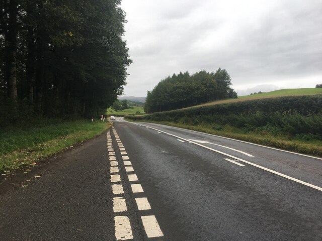
Drum Cleuch is a picturesque valley located in Dumfriesshire, Scotland. Situated amidst the breathtaking landscape of the Southern Uplands, it is renowned for its natural beauty and tranquility. The valley stretches for approximately 4 miles, encompassing lush green meadows, dense forests, and meandering streams.
The valley is flanked by rolling hills on either side, providing a stunning backdrop for visitors. The hillsides are covered with heather and gorse, which burst into vibrant colors during the summer months, creating a captivating spectacle. The valley is also home to an abundance of wildlife, including red deer, pheasants, and various bird species, making it a haven for nature enthusiasts and birdwatchers.
Drum Cleuch is intersected by the River Nith, a prominent waterway that flows through the region. The river adds to the valley's charm, offering opportunities for fishing and leisurely walks along its banks. The surrounding woodlands provide ample trails for hikers and cyclists, allowing visitors to explore the area's natural wonders.
History enthusiasts will find Drum Cleuch fascinating, as it is dotted with remnants of its industrial past. The valley was once a hub for lead mining, and remnants of disused mines and mine buildings can still be found, offering a glimpse into the area's rich history.
In summary, Drum Cleuch in Dumfriesshire is a captivating valley that showcases the beauty of Scotland's countryside. With its stunning landscapes, diverse wildlife, and historical significance, it is a destination that appeals to nature lovers, adventurers, and history buffs alike.
If you have any feedback on the listing, please let us know in the comments section below.
Drum Cleuch Images
Images are sourced within 2km of 55.274036/-3.7739007 or Grid Reference NX8799. Thanks to Geograph Open Source API. All images are credited.


Drum Cleuch is located at Grid Ref: NX8799 (Lat: 55.274036, Lng: -3.7739007)
Unitary Authority: Dumfries and Galloway
Police Authority: Dumfries and Galloway
What 3 Words
///premature.drape.overdrive. Near Thornhill, Dumfries & Galloway
Nearby Locations
Related Wikis

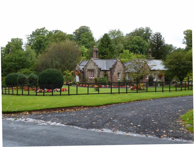
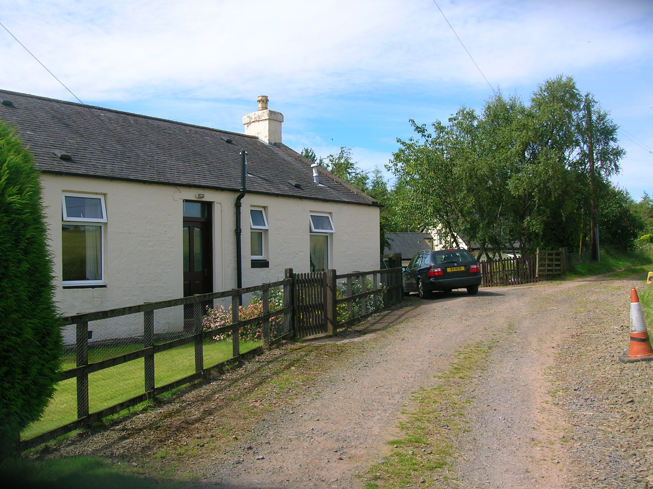
Carronbridge
Carronbridge is a village in the parish of Morton in Dumfries and Galloway, Scotland. The village is at the junction of the A76 and A702 roads approximately...

Tibbers Castle
Tibbers Castle is a motte-and-bailey castle overlooking a ford across the River Nith in Dumfries and Galloway, Scotland. To the east is the village of...

Morton Castle
Morton Castle is located by an artificial loch in the hills above Nithsdale, in Dumfries and Galloway, south-west Scotland. It lies 2.5 miles (4 km) north...

Carron Water, Dumfriesshire
The Carron Water (Scottish Gaelic: Carrann) is a tributary of the River Nith in southwest Scotland. It rises in the Dalveen Pass in the Lowther Hills as...
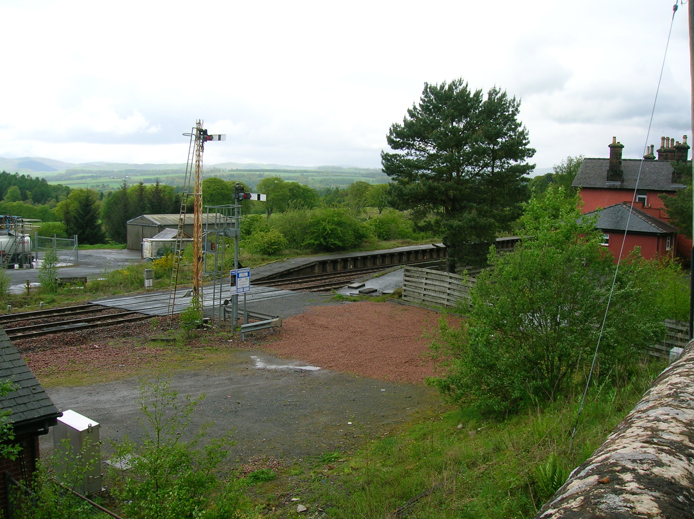
Carronbridge railway station
Carronbridge railway station was a railway station in Dumfries and Galloway north of Dumfries, serving the village of Carronbridge and district. The station...

Drumlanrig
Drumlanrig (Scottish Gaelic: Druim Lannraig) is a settlement in Dumfries and Galloway, Scotland, which is best known for nearby Drumlanrig Castle. The...

Drumlanrig Castle
Drumlanrig Castle is situated on the Queensberry Estate in Dumfries and Galloway, Scotland. The category A listed castle is the Dumfriesshire home of the...
Thornhill (Dumfries) railway station
Thornhill is a closed station. It served the country town of Thornhill in Dumfries and Galloway. The station site is a mile or so from the town. Four...
Nearby Amenities
Located within 500m of 55.274036,-3.7739007Have you been to Drum Cleuch?
Leave your review of Drum Cleuch below (or comments, questions and feedback).