Garroch Cleuch
Valley in Dumfriesshire
Scotland
Garroch Cleuch

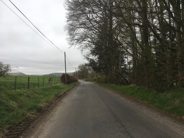
Garroch Cleuch is a picturesque valley located in Dumfriesshire, a county in the southwest of Scotland. Situated near the village of Dunscore, the valley is known for its stunning natural beauty and tranquil atmosphere.
The valley is characterized by its rolling hills, lush green meadows, and dense woodlands. It is traversed by a small stream that meanders through the landscape, adding to the scenic charm of Garroch Cleuch. The area is rich in wildlife, with various species of birds, mammals, and plant life thriving in the valley's diverse ecosystems.
Garroch Cleuch offers visitors a range of outdoor activities and recreational opportunities. The valley is popular among hikers and nature enthusiasts who are drawn to its extensive network of walking trails. These trails provide breathtaking viewpoints and allow visitors to immerse themselves in the natural surroundings.
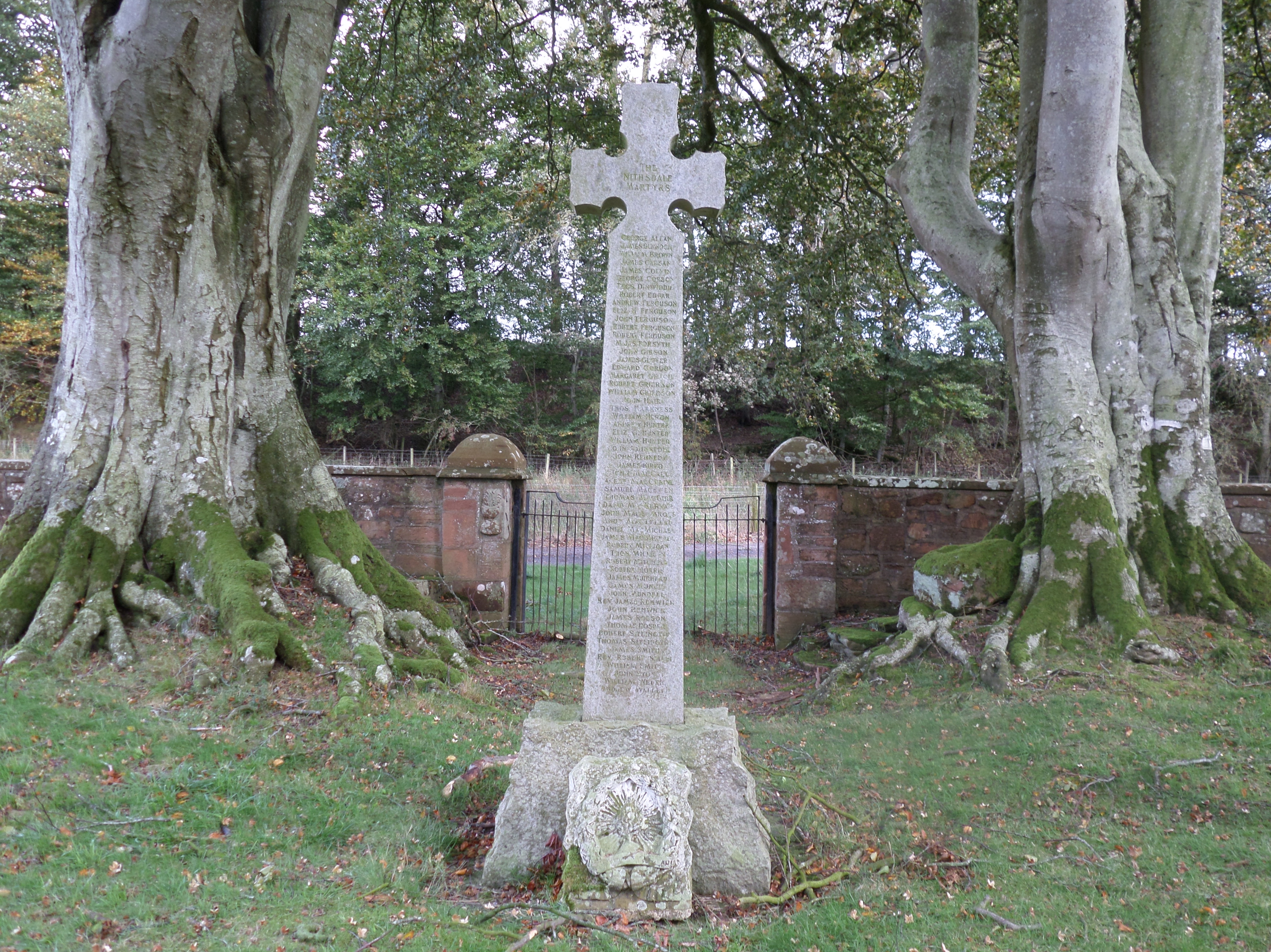
In addition to its natural attractions, Garroch Cleuch boasts a rich history. The valley is dotted with archaeological sites, including ancient burial mounds and standing stones, which offer insights into the area's past. The remains of old farmsteads and ruins of cottages can also be found, providing glimpses into the lives of previous inhabitants.
Overall, Garroch Cleuch is a hidden gem in Dumfriesshire, combining stunning landscapes, abundant wildlife, and a sense of tranquility. Whether visitors are seeking outdoor adventures or a peaceful retreat, the valley offers a truly memorable experience.
If you have any feedback on the listing, please let us know in the comments section below.
Garroch Cleuch Images
Images are sourced within 2km of 55.205004/-3.7713948 or Grid Reference NX8791. Thanks to Geograph Open Source API. All images are credited.


Garroch Cleuch is located at Grid Ref: NX8791 (Lat: 55.205004, Lng: -3.7713948)
Unitary Authority: Dumfries and Galloway
Police Authority: Dumfries and Galloway
What 3 Words
///readjust.hiring.second. Near Thornhill, Dumfries & Galloway
Nearby Locations
Related Wikis

Barjarg Tower
Barjarg Tower is an L-plan tower house probably dating from 1680, four miles south-east of Penpont, Dumfriesshire, Scotland. It is attached to a 19th...

Keir, Dumfries and Galloway
Keir is a civil parish, containing the small village of Keir Mill, in Dumfries and Galloway, Scotland, one mile south of Penpont. It was founded in the...
Dalgarnock
Dalgarnock, Dalgarno, Dalgarnoc was an ancient parish and a once considerable sized village in the Nithsdale area of Dumfries and Galloway, Scotland,...

Closeburn, Dumfries and Galloway
Closeburn (Scottish Gaelic: Cill Osbairn) is a village and civil parish in Dumfries and Galloway, Scotland. The village is on the A76 road 2+1⁄2 miles...
Closeburn railway station
Closeburn railway station was a railway station in Dumfries and Galloway north of Dumfries, serving a rural community with Wallace Hall and Closeburn Castle...
Brownhill Inn
Brownhill Inn, now just called Brownhill (NX 902 911), was an inn approximately 1 mile (1.6 km) mile south of Closeburn, on the A76, which itself is about...

Closeburn Castle
Closeburn Castle is a privately owned tower house, probably of the 14th century, but possibly older, and is one of the oldest continually inhabited houses...
Thornhill Hospital
Thornhill Hospital is a health facility in Townhead Street, Thornhill, Dumfries and Galloway, Scotland. It is managed by NHS Dumfries and Galloway. �...
Nearby Amenities
Located within 500m of 55.205004,-3.7713948Have you been to Garroch Cleuch?
Leave your review of Garroch Cleuch below (or comments, questions and feedback).