Lang Cleuch

Valley in Dumfriesshire

Scotland

Lang Cleuch

Towards Thirstane Hill Early morning view from East Mount Lowther with heavy rain moving over Galloway.
Towards Thirstane Hill Credit: Iain Russell

The requested URL returned error: 429 Too Many Requests

If you have any feedback on the listing, please let us know in the comments section below.
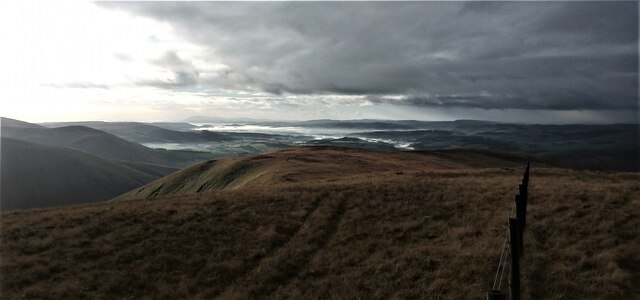
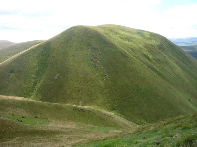
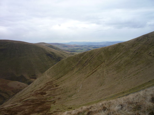
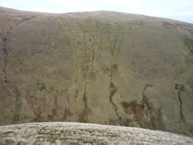
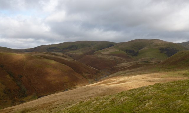
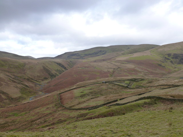
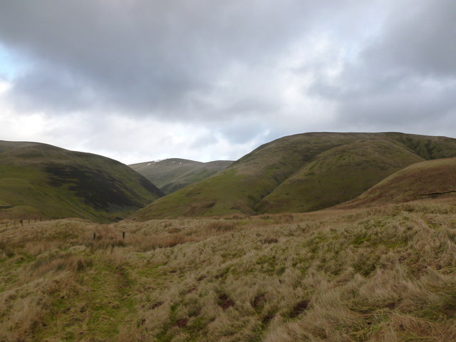
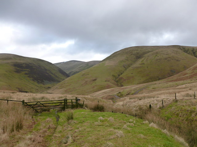
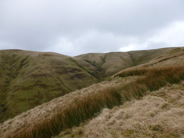
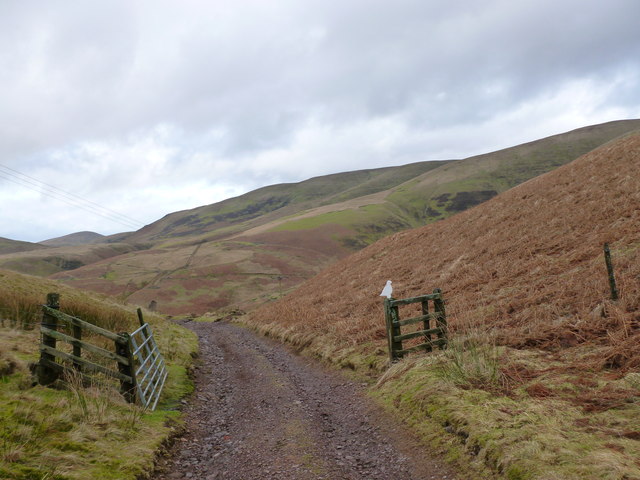
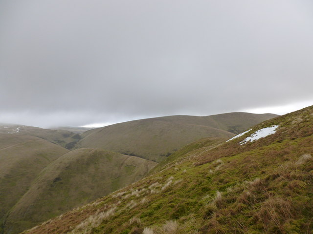
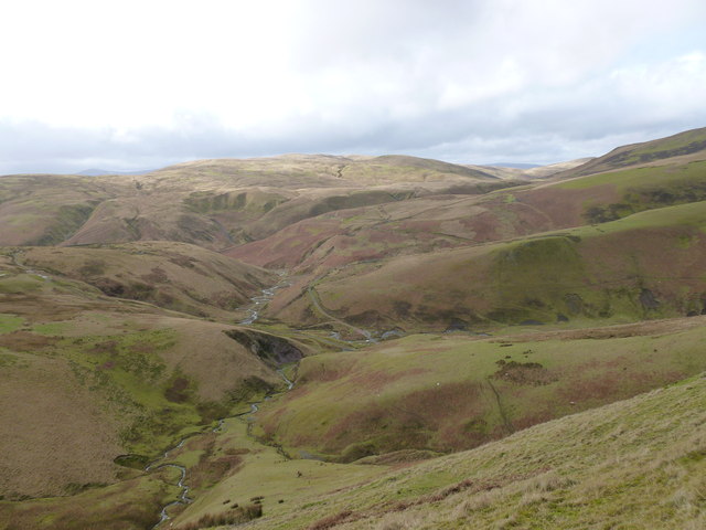
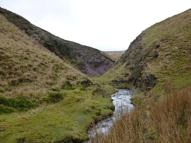
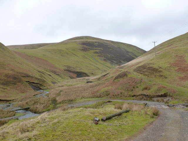
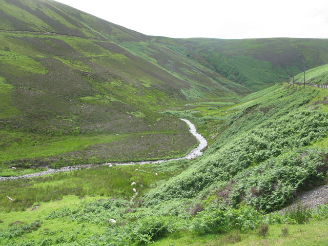
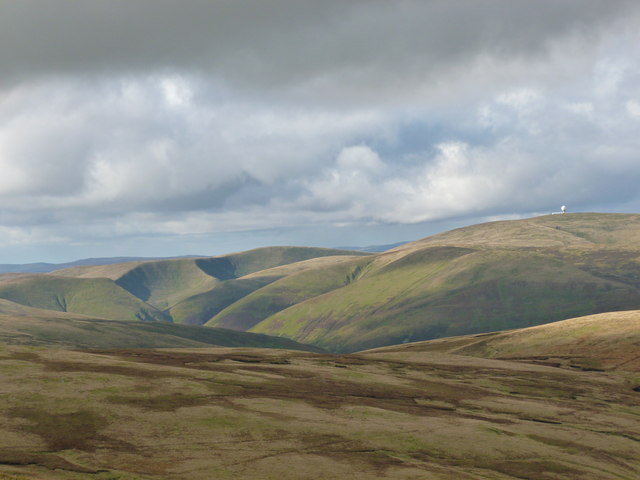
Lang Cleuch Images

Images are sourced within 2km of 55.359427/-3.7828618 or Grid Reference NS8708. Thanks to Geograph Open Source API. All images are credited.

Towards Thirstane Hill Early morning view from East Mount Lowther with heavy rain moving over Galloway.
Towards Thirstane Hill
Early morning view from East Mount Lowther with heavy rain moving over Galloway.
Steep north-west slopes of Steygail An unusually steep small grassy hill in the Lowthers.
Steep north-west slopes of Steygail
An unusually steep small grassy hill in the Lowthers.
Nether Pot from Crawstone Snout Walking out onto the 'Snout' which projects out over this hollow in the hillside gives a good view into the shallow grassy corrie called Nether Pot
Nether Pot from Crawstone Snout
Walking out onto the 'Snout' which projects out over this hollow in the hillside gives a good view into the shallow grassy corrie called Nether Pot
Steep slope of Wether Hill viewed from Crawstone Snout Craig Cleuch flows down the hillside on the far left of the picture.  The small sheepfold shown on the 1:25000 map is just to its right and if you look closely enough you can see some sheep and some faint paths crossing the hillside horizontally
Steep slope of Wether Hill viewed from Crawstone Snout
Craig Cleuch flows down the hillside on the far left of the picture. The small sheepfold shown on the 1:25000 map is just to its right and if you look closely enough you can see some sheep and some faint paths crossing the hillside horizontally
Mennock Water
Mennock Water
Enterkin Burn and Auchenlone The Enterkin Burn meanders through the valley floor with Auchenlone (East Mount Lowther) in the background.
Enterkin Burn and Auchenlone
The Enterkin Burn meanders through the valley floor with Auchenlone (East Mount Lowther) in the background.
Sheepfold by the Enterkin path Situated amongst rough grazing in the Lowther Hills.
Sheepfold by the Enterkin path
Situated amongst rough grazing in the Lowther Hills.
Looking towards Lowther Hill The Enterkin Pass path continues through the defile between the hillsides of Thirstane Bank and Steygail.
Looking towards Lowther Hill
The Enterkin Pass path continues through the defile between the hillsides of Thirstane Bank and Steygail.
Gate on the track into the Enterkin Pass One of many gates on this route through sheep-grazing country.
Gate on the track into the Enterkin Pass
One of many gates on this route through sheep-grazing country.
Steygail from Dalveen Rig The deep defile between these hillsides is named Glenvalentine.
Steygail from Dalveen Rig
The deep defile between these hillsides is named Glenvalentine.
Track above Dalveen The white bird ornament on the gate matches one at the entrance to Dalveen farm.
Track above Dalveen
The white bird ornament on the gate matches one at the entrance to Dalveen farm.
Across the flank of Steygail Looking towards Cold Moss and Comb Head.  

Steygail's name means Steep Gable. This photo doesn't really give an impression of just how steep the slopes down to the left are, but <a href="https://www.geograph.org.uk/photo/2483152">NS8808 : Steep north-west slopes of Steygail</a> shows clearly how the hill got its name.
Across the flank of Steygail
Looking towards Cold Moss and Comb Head. Steygail's name means Steep Gable. This photo doesn't really give an impression of just how steep the slopes down to the left are, but NS8808 : Steep north-west slopes of Steygail shows clearly how the hill got its name.
The Enterkin Burn from above The burn meanders through the Lowther Hills.
The Enterkin Burn from above
The burn meanders through the Lowther Hills.
Eroded banks of the Enterkin Burn The burn is a tributary of the River Nith.
Eroded banks of the Enterkin Burn
The burn is a tributary of the River Nith.
Ford and bridge, Enterkin Burn The Enterkin Pass, an old route through the hills, continues straight ahead and a more modern track sweeps round to the left beyond the collapsed telegrpah pole.
Ford and bridge, Enterkin Burn
The Enterkin Pass, an old route through the hills, continues straight ahead and a more modern track sweeps round to the left beyond the collapsed telegrpah pole.
Mennock Water Looking down-stream in Mennock Pass.
Mennock Water
Looking down-stream in Mennock Pass.
Shapes and shadows of the Lowther Hills A view from Rodger Law of the distinctive steep, rounded shapes of the Lowther Hills.  Auchenlone (East Mount Lowther) is particularly distinctive on the left of the photo, with the spur of Crawstone Snout separating the corries of Nether Pot and Upper Pot.  The area's most distinctive landmark - the white 'golf ball' of the radar station on the top of Lowther Hill is also visible here.
Shapes and shadows of the Lowther Hills
A view from Rodger Law of the distinctive steep, rounded shapes of the Lowther Hills. Auchenlone (East Mount Lowther) is particularly distinctive on the left of the photo, with the spur of Crawstone Snout separating the corries of Nether Pot and Upper Pot. The area's most distinctive landmark - the white 'golf ball' of the radar station on the top of Lowther Hill is also visible here.
The Mennock Pass Viewed from the old Dempster Road route above the pass.
The Mennock Pass
Viewed from the old Dempster Road route above the pass.
Show me another place!

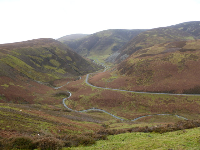
Lang Cleuch is located at Grid Ref: NS8708 (Lat: 55.359427, Lng: -3.7828618)

Unitary Authority: Dumfries and Galloway

Police Authority: Dumfries and Galloway

What 3 Words

///scariest.skyrocket.cargo. Near Sanquhar, Dumfries & Galloway

Nearby Locations

Lang Cleuch

Related Wikis

Kirkbride, Durisdeer

Kirkbride, previously Kilbride was an ancient parish close to the village of Enterkinfoot, the lands of which lay on both sides of the River Nith in the...

Wanlockhead railway station

Wanlockhead railway station was opened on 1 October 1902 as the terminus on the Leadhills and Wanlockhead Light Railway and served the lead mining area...

Wanlockhead

Wanlockhead is a village in Dumfries and Galloway, Scotland, nestling in the Lowther Hills and 1 mile (2 kilometres) south of Leadhills at the head of...

Green Lowther

Green Lowther is a hill in the Lowther Hills range, part of the Southern Uplands of Scotland. It is the highest point of the Lowther Hills and lies in...

Have you been to Lang Cleuch?

Leave your review of Lang Cleuch below (or comments, questions and feedback).