Anstey's Gully
Valley in Devon North Devon
England
Anstey's Gully

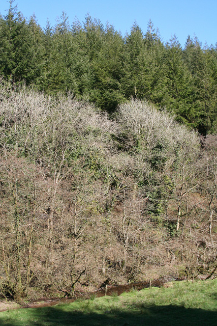
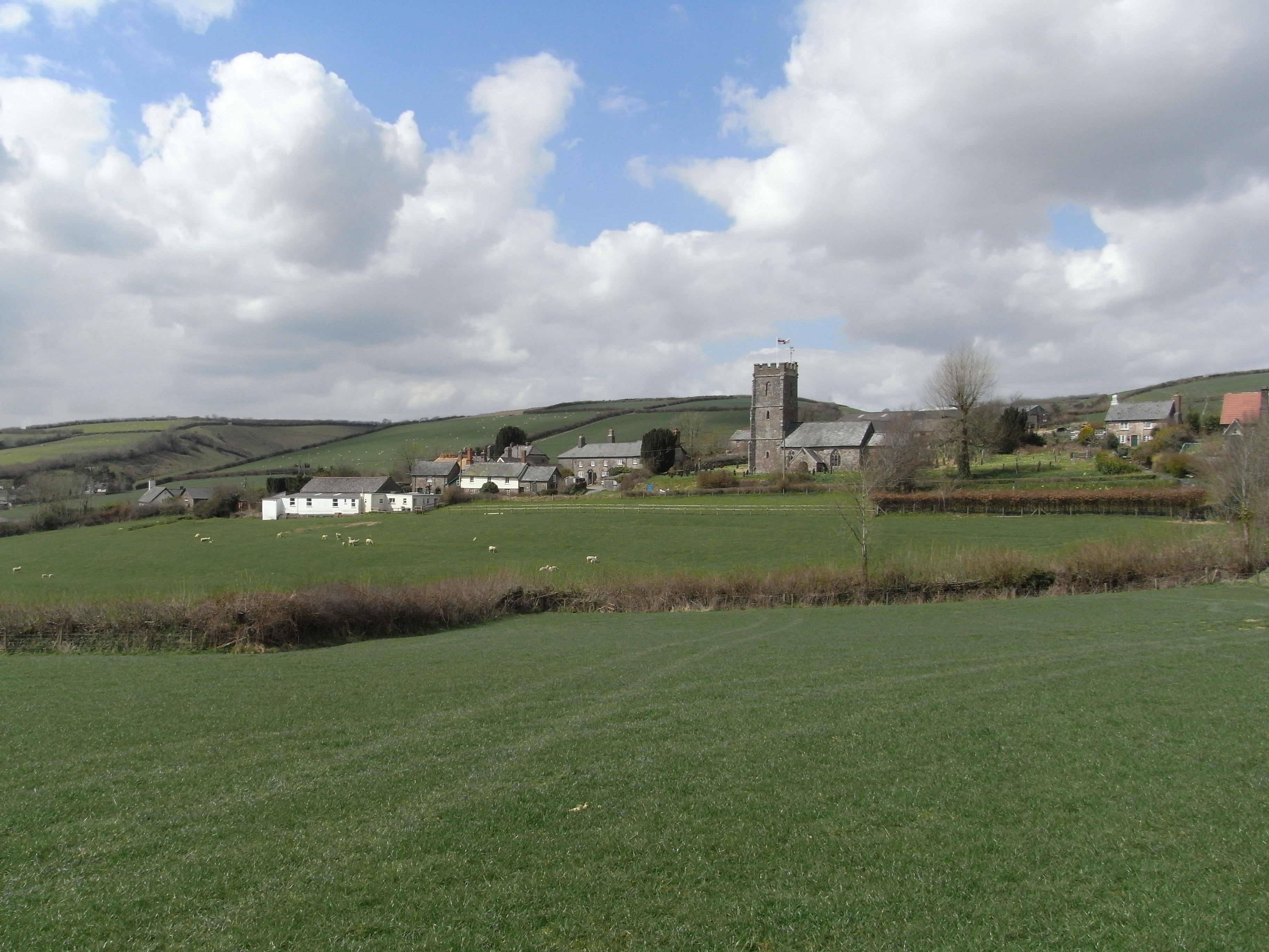
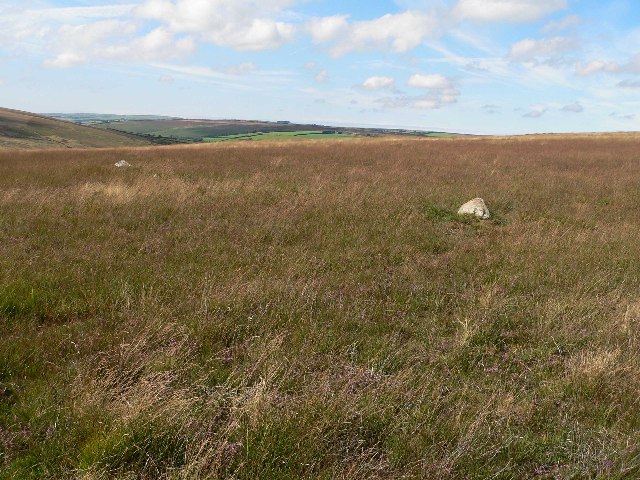
Anstey's Gully, located in Devon, England, is a picturesque valley that stretches for approximately 2 miles in length. Nestled within the Dartmoor National Park, this enchanting natural feature offers visitors a tranquil escape from the hustle and bustle of everyday life.
Characterized by its lush greenery, Anstey's Gully boasts a diverse range of flora and fauna. The valley is covered with a dense canopy of trees, including oak, beech, and birch, providing ample shade and creating a serene atmosphere. The forest floor is adorned with vibrant wildflowers, adding a splash of color to the landscape.
Traversing through the valley is a meandering stream, meandering its way between moss-covered rocks. The gentle babbling of the water as it flows over the pebbles creates a soothing soundtrack for those who explore the gully.
Anstey's Gully is a haven for wildlife enthusiasts, as it is home to a variety of creatures. Visitors may spot native species such as deer, foxes, badgers, and a plethora of birdlife. The gully also serves as a habitat for rare species of plants, making it a haven for botanists and nature lovers alike.
The valley offers several walking trails, allowing visitors to immerse themselves in the natural beauty of the surroundings. These paths wind through the gully, revealing breathtaking vistas and hidden nooks waiting to be discovered. As one explores the valley, they may encounter picturesque waterfalls, secluded pools, and enchanting woodland glades.
Anstey's Gully in Devon is truly a haven for nature enthusiasts, offering a peaceful retreat and an opportunity to connect with the natural world. Whether it's a leisurely stroll or an immersive hike, this valley promises an unforgettable experience for all who venture into its embrace.
If you have any feedback on the listing, please let us know in the comments section below.
Anstey's Gully Images
Images are sourced within 2km of 51.04924/-3.6749982 or Grid Reference SS8229. Thanks to Geograph Open Source API. All images are credited.


Anstey's Gully is located at Grid Ref: SS8229 (Lat: 51.04924, Lng: -3.6749982)
Administrative County: Devon
District: North Devon
Police Authority: Devon and Cornwall
What 3 Words
///disputes.denoting.forklift. Near Dulverton, Somerset
Nearby Locations
Related Wikis
Molland
Molland is a small village, civil parish, dual ecclesiastical parish with Knowstone, located in the foothills of Exmoor in Devon, England. It lies within...

West Anstey
West Anstey is a village and civil parish on the River Yeo, about 5 miles west of Dulverton, in the North Devon district, in the county of Devon, England...

Church of St Giles, Hawkridge
The Anglican Church of St Giles in Hawkridge, Somerset, England was built in the 14th century. It is a Grade II* listed building. == History == The oldest...

Twitchen, Devon
Twitchen is a village and civil parish in Devon, England, located within the North Devon local authority area. Historically it formed part of South Molton...

Bickingcott
Bickingcott is a village in Devon, England. == External links == Media related to Bickingcott at Wikimedia Commons

Tarr Steps
The Tarr Steps is a clapper bridge across the River Barle in the Exmoor National Park, Somerset, England. They are located in a national nature reserve...
Withypool Stone Circle
Withypool Stone Circle, also known as Withypool Hill Stone Circle, is a stone circle located on the Exmoor moorland, near the village of Withypool in the...

Oldways End
Oldways End is a hamlet in the civil parish of East Anstey in the North Devon district of Devon, England. Its nearest town is Tiverton, which lies approximately...
Nearby Amenities
Located within 500m of 51.04924,-3.6749982Have you been to Anstey's Gully?
Leave your review of Anstey's Gully below (or comments, questions and feedback).