Black Cleuch
Valley in Dumfriesshire
Scotland
Black Cleuch
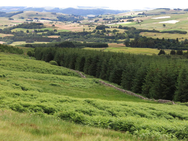
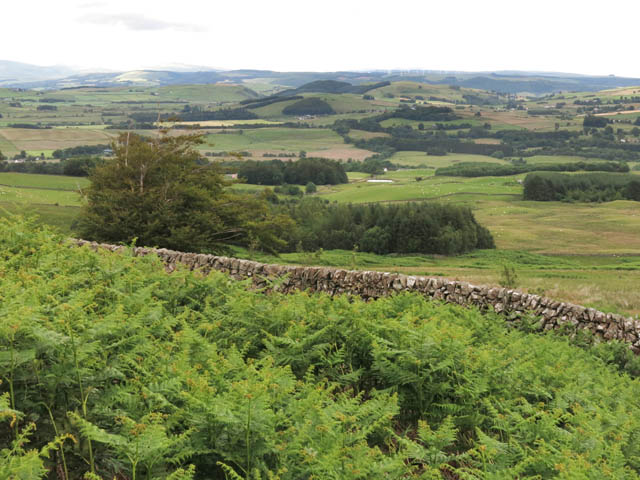
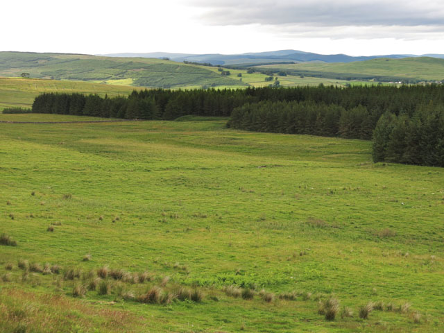
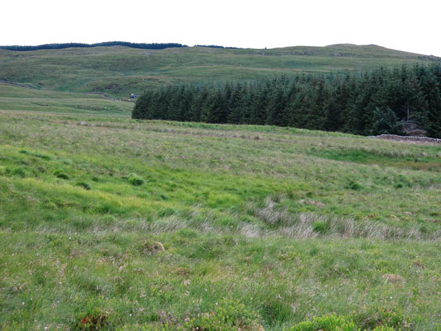
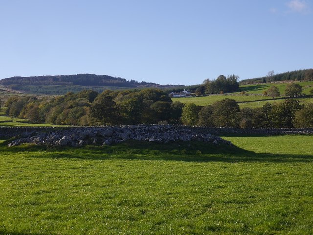
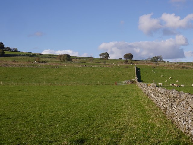
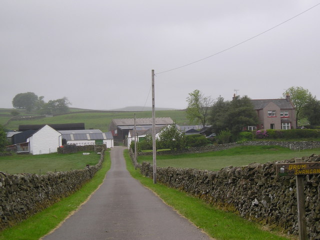
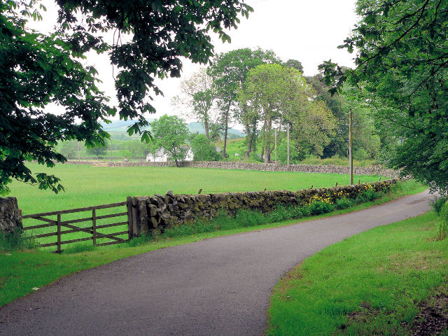
Black Cleuch is a picturesque valley located in the region of Dumfriesshire, Scotland. Nestled amidst the rolling hills of the Southern Uplands, the valley offers breathtaking natural beauty and a tranquil atmosphere for visitors to enjoy.
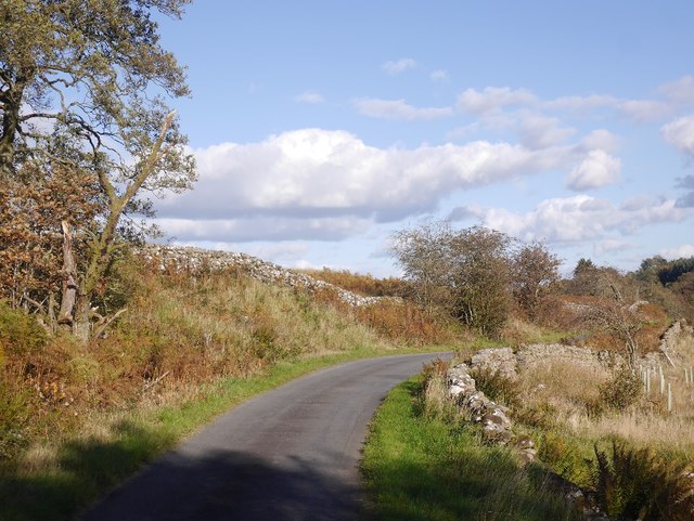
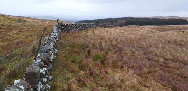
The valley is characterized by its rugged terrain, with steep slopes and rocky outcrops that add to its dramatic appeal. It is situated approximately 5 miles southeast of the town of Moffat and is easily accessible by road, making it a popular destination for hikers, nature enthusiasts, and photographers.
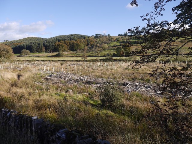
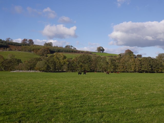
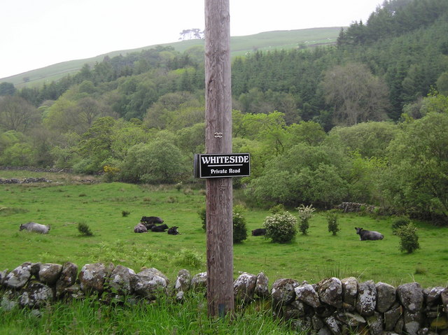
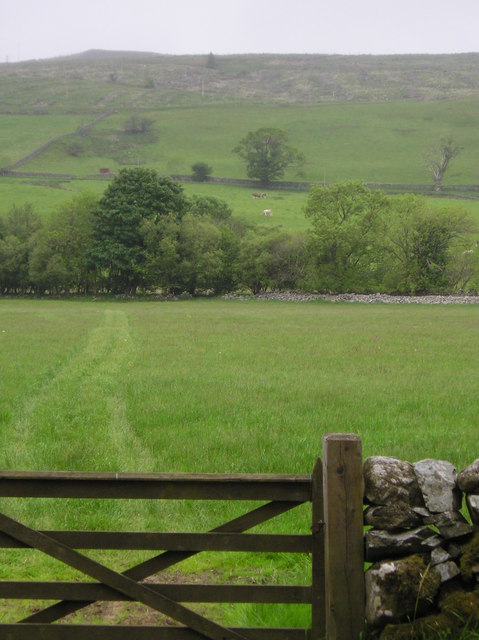
One of the prominent features of Black Cleuch is the meandering Black Cleuch Burn that flows through the valley, adding to its allure. The burn cascades down from higher ground, forming small waterfalls and creating a soothing soundtrack for those exploring the area. The valley is also home to a diverse range of flora and fauna, including heather, mosses, and various bird species.
Black Cleuch offers numerous walking and hiking opportunities, with paths and trails crisscrossing the landscape. These routes cater to different levels of difficulty, allowing both experienced hikers and casual walkers to enjoy the valley's beauty at their own pace. The valley also provides stunning panoramic views of the surrounding countryside, making it a favorite spot for photographers capturing the essence of Scotland's natural splendor.
Overall, Black Cleuch in Dumfriesshire is a captivating valley that combines rugged charm with breathtaking scenery. Its tranquil ambiance, diverse wildlife, and stunning landscapes make it a must-visit destination for anyone seeking an escape into nature in the heart of southern Scotland.
If you have any feedback on the listing, please let us know in the comments section below.
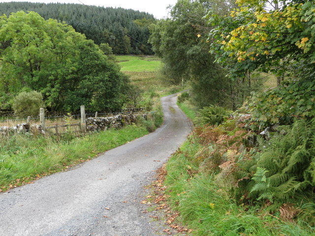
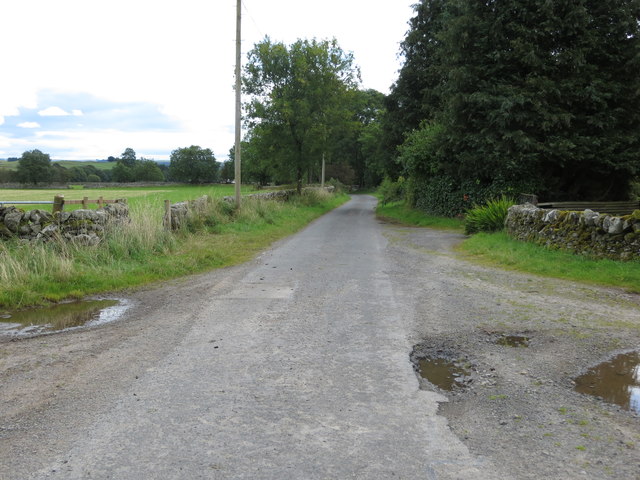
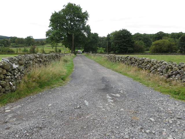
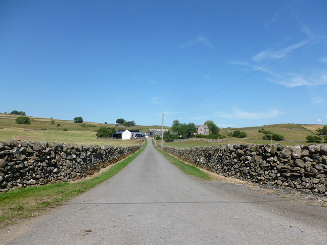
Black Cleuch Images
Images are sourced within 2km of 55.126678/-3.8536082 or Grid Reference NX8182. Thanks to Geograph Open Source API. All images are credited.
Black Cleuch is located at Grid Ref: NX8182 (Lat: 55.126678, Lng: -3.8536082)
Unitary Authority: Dumfries and Galloway
Police Authority: Dumfries and Galloway
What 3 Words
///ribs.rezoning.recruiter. Near Thornhill, Dumfries & Galloway
Nearby Locations
Related Wikis

Dunscore railway station
Dunscore (NX858840) was one of the four principal stations on the Cairn Valley Light Railway (CVR) branch, from Dumfries. It served the rural area of...

Dumfries and Galloway
Dumfries and Galloway (Scots: Dumfries an Gallowa; Scottish Gaelic: Dùn Phrìs is Gall-Ghaidhealaibh) is one of the 32 unitary council areas of Scotland...

Stepford railway station
Stepford (NX864815) was one of the minor request stop stations on the Cairn Valley Light Railway branch from Dumfries. It served a very rural area in...

Craigenputtock
Craigenputtock (usually spelled by the Carlyles as Craigenputtoch) is an estate in Scotland where Thomas Carlyle lived from 1828 to 1834. He wrote several...

Dunscore
Dunscore (['dʌnskər] / 'DUN-skur', less commonly ['dunskɔ:r] / 'DUN-score') is a small village which lies 9 miles (14 km) northwest of Dumfries on the...
Glenkiln Sculpture Park
Glenkiln Sculpture Park was a sculpture landscape in the historic county of Kirkcudbrightshire in Dumfries and Galloway, south-west Scotland. After one...
Crossford railway station
Crossford is a closed station of the Cairn Valley Light Railway branch, from Dumfries. It served the rural area of Crossford in Dumfries and Galloway...
Newtonairds railway station
Newtonairds (NX877801) was one of the principal stations on the now closed Cairn Valley Light Railway branch from Dumfries. It served a very rural area...
Have you been to Black Cleuch?
Leave your review of Black Cleuch below (or comments, questions and feedback).