Lane Ends
Settlement in Derbyshire
England
Lane Ends
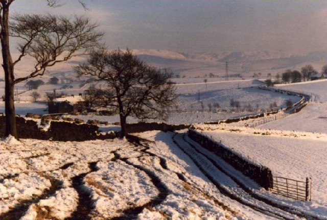
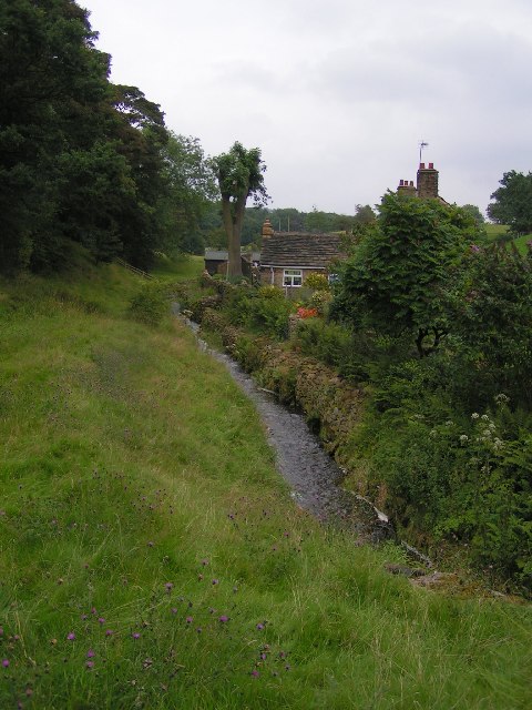
Lane Ends is a small village located in the county of Derbyshire, England. Situated in the High Peak district, it is nestled within the picturesque Peak District National Park. The village is surrounded by breathtaking natural landscapes, with rolling hills, lush green fields, and charming stone buildings.
The community of Lane Ends is relatively small, consisting of a few dozen residents. Despite its size, the village boasts a close-knit and friendly atmosphere, where neighbors look out for one another. The local economy is primarily based on agriculture, with many residents working in farming or related industries.
Lane Ends is known for its peaceful and tranquil surroundings, making it an ideal destination for those seeking a retreat from the hustle and bustle of city life. The village offers numerous opportunities for outdoor activities such as hiking, cycling, and birdwatching. The nearby Peak District provides an abundance of scenic walking trails, including the popular Limestone Way.
Within the village, there is a village hall that serves as a hub for community gatherings and events. Additionally, Lane Ends is home to a charming pub, where locals and visitors can enjoy traditional British cuisine and a selection of locally brewed ales.
Overall, Lane Ends is a hidden gem within the Derbyshire countryside, offering a peaceful and idyllic setting for residents and visitors alike.
If you have any feedback on the listing, please let us know in the comments section below.
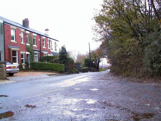
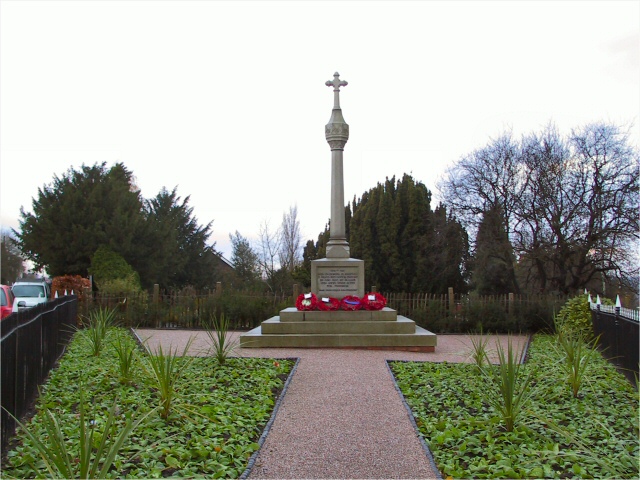
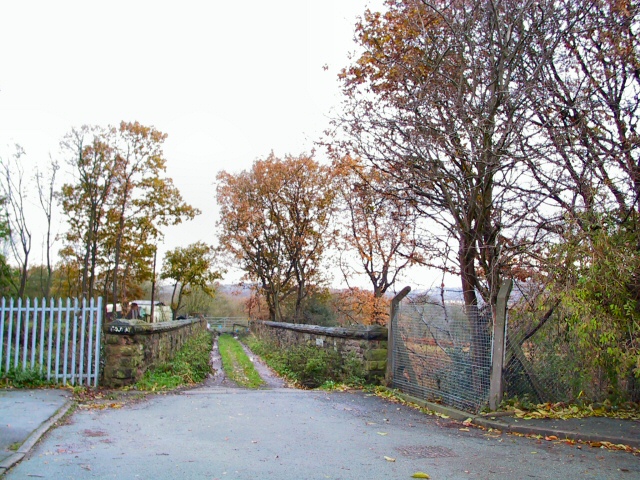
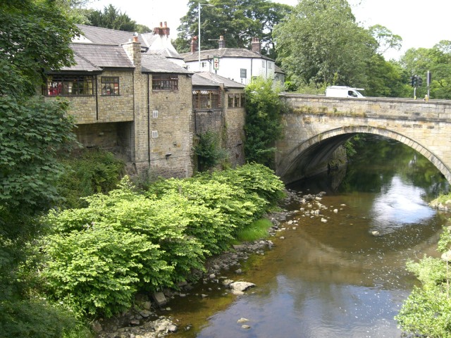
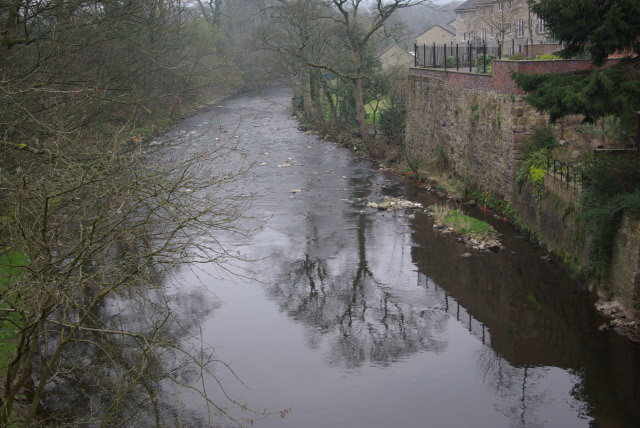
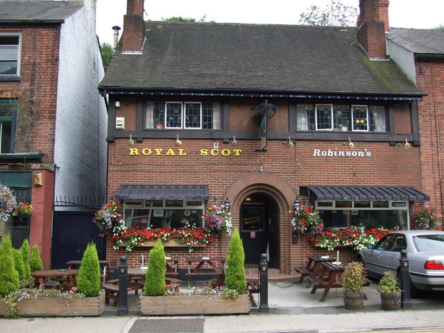
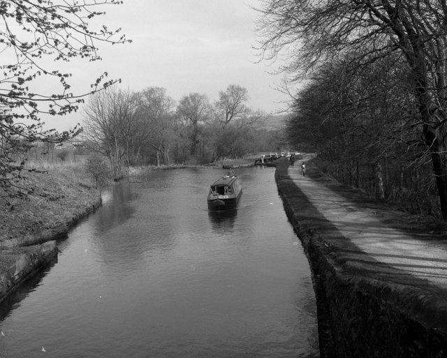
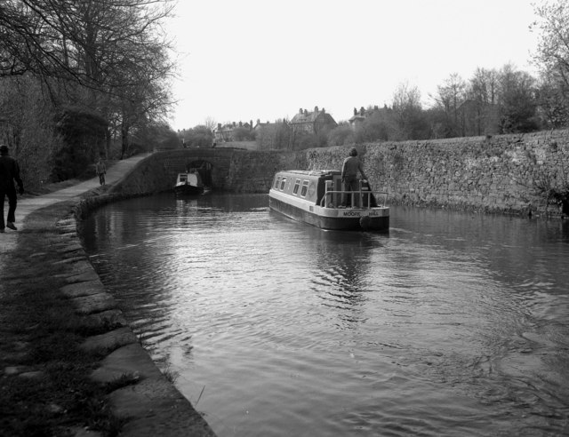
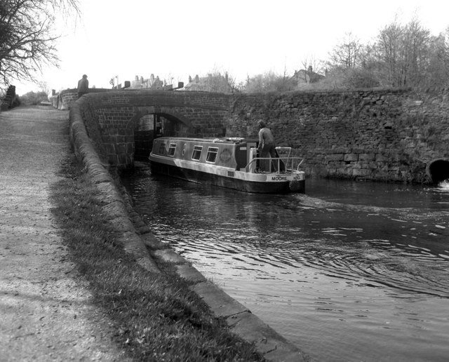
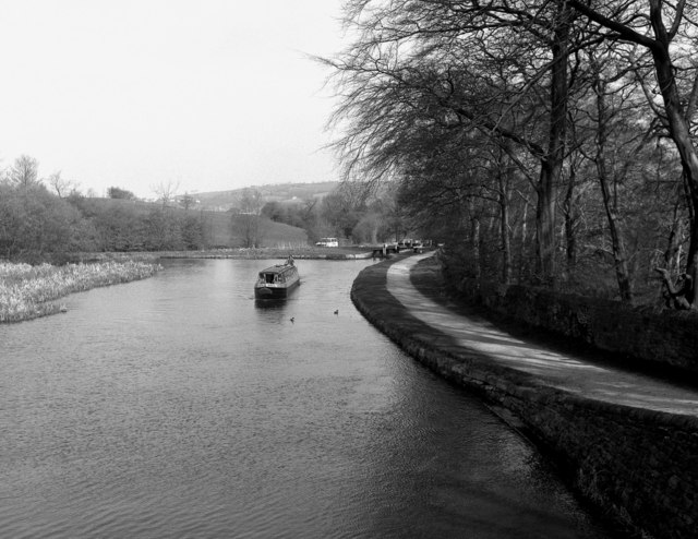
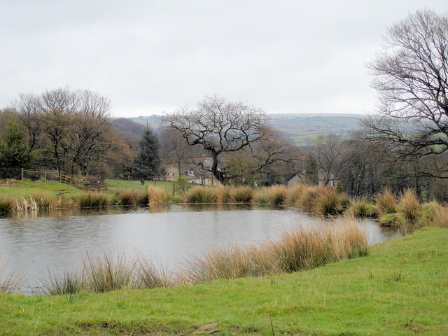
Lane Ends Images
Images are sourced within 2km of 53.408868/-2.039079 or Grid Reference SJ9790. Thanks to Geograph Open Source API. All images are credited.


Lane Ends is located at Grid Ref: SJ9790 (Lat: 53.408868, Lng: -2.039079)
Unitary Authority: Stockport
Police Authority: Greater Manchester
What 3 Words
///helpers.operation.descended. Near Marple, Manchester
Nearby Locations
Related Wikis

Ludworth, Greater Manchester
Ludworth is an area of Marple, Greater Manchester in Greater Manchester. Ludworth Civil Parish was created in 1896; it was part of Glossop Dale Rural District...

Marple Bridge
Marple Bridge is a district of Marple in the Metropolitan Borough of Stockport, Greater Manchester, England, on the River Goyt, which runs through the...

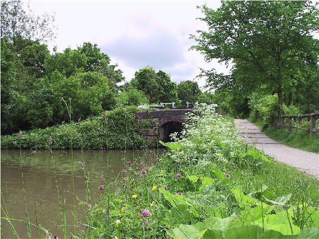
Goyt Way
The Goyt Way is a 10-mile (16 km) walking route from Etherow Country Park, Greater Manchester, to Whaley Bridge, Derbyshire, following the valley of the...

Compstall
Compstall is a village in the Metropolitan Borough of Stockport, Greater Manchester, England; it is situated between Marple Bridge and Romiley and is historically...

Etherow Country Park
Etherow Country Park is situated at Compstall, England, between Marple Bridge and Romiley, in the Metropolitan Borough of Stockport, Greater Manchester...

Brabyns Park
Brabyns Park is a public park in Marple Bridge, Stockport, Greater Manchester, England. == History == Brabyns Park was formerly the grounds of Brabyns...

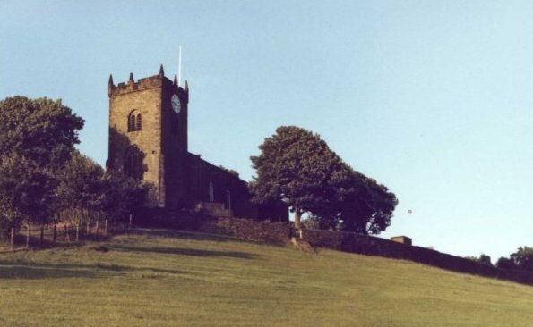
Church of St Martin, Marple
The Church of St Martin is a 19th-century church in Marple, Greater Manchester, England (grid reference SJ963894). It was designed by J. D. Sedding for...

Marple railway station
Marple railway station in Marple, Greater Manchester, England, is on the Hope Valley Line 8.9 miles (14.3 km) south-east of Manchester Piccadilly. The...
Nearby Amenities
Located within 500m of 53.408868,-2.039079Have you been to Lane Ends?
Leave your review of Lane Ends below (or comments, questions and feedback).