Cote Green
Settlement in Derbyshire
England
Cote Green
Cote Green is a small village located in the county of Derbyshire, England. Situated in the East Midlands region, it is nestled within the picturesque Peak District National Park, renowned for its stunning landscapes and outdoor recreational opportunities. With a population of around 300 residents, Cote Green offers a peaceful and idyllic countryside setting.
The village is characterized by its traditional stone-built houses and cottages, which add to its charm and rural character. Surrounded by rolling hills and lush greenery, Cote Green provides residents and visitors with breathtaking views and a tranquil atmosphere. The neighboring area is predominantly agricultural, with fields of grazing livestock and cultivated farmland.
Despite its small size, Cote Green benefits from being within close proximity to larger towns and cities. The bustling market town of Matlock is just a short drive away, offering a range of amenities such as shops, restaurants, and leisure facilities. Additionally, the city of Derby is easily accessible, providing further options for work, education, and entertainment.
Nature enthusiasts and outdoor adventurers are drawn to Cote Green due to its location within the Peak District. The surrounding area offers a wealth of opportunities for hiking, cycling, and exploring the numerous trails and paths. Popular attractions nearby include Chatsworth House, famous for its grand architecture and extensive gardens, and the Heights of Abraham, an attraction featuring caves, cable cars, and panoramic views.
Overall, Cote Green is a charming village that offers a peaceful escape from the hustle and bustle of city life, while still providing easy access to essential amenities and the natural wonders of the Peak District.
If you have any feedback on the listing, please let us know in the comments section below.
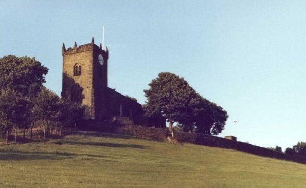
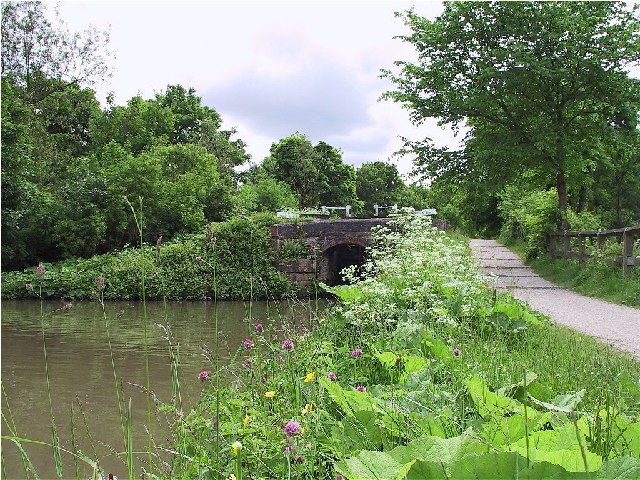
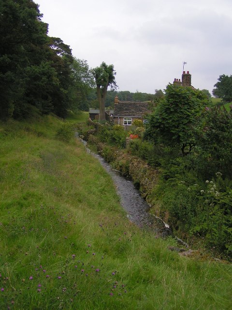
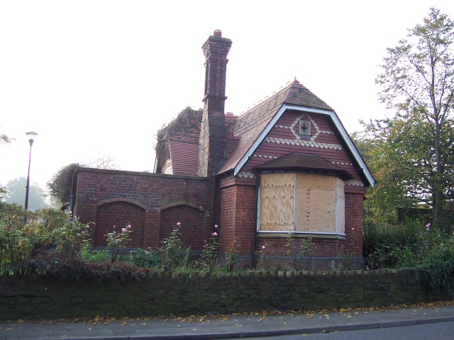
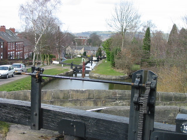
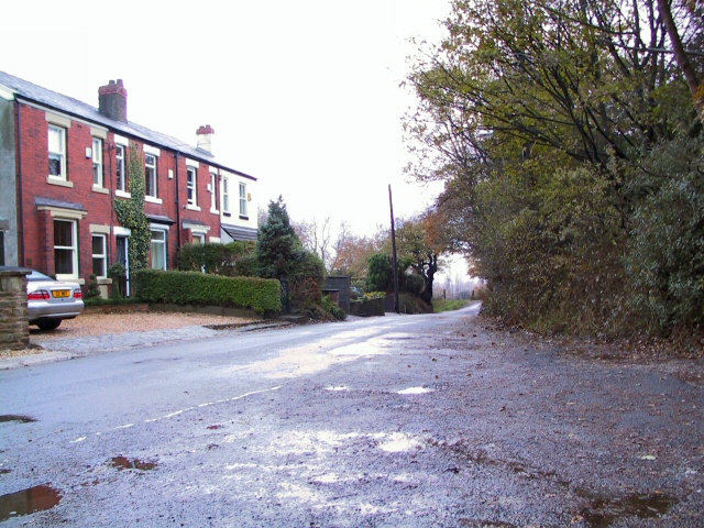
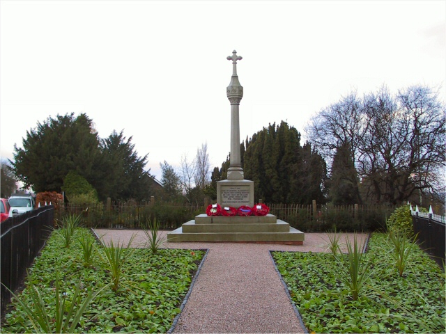
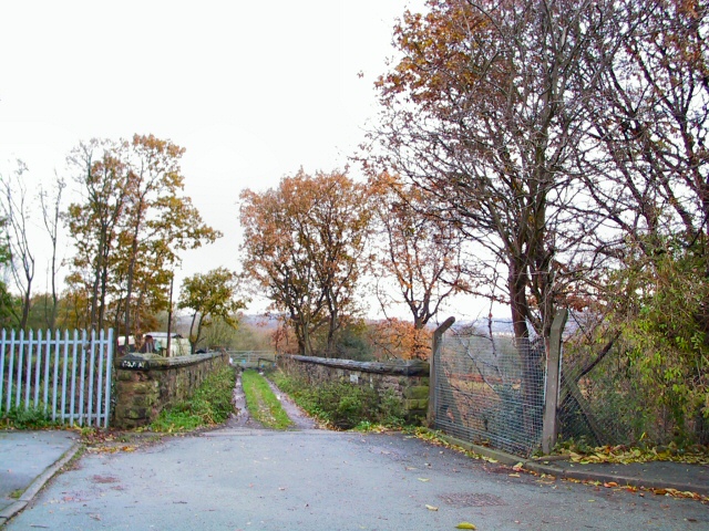
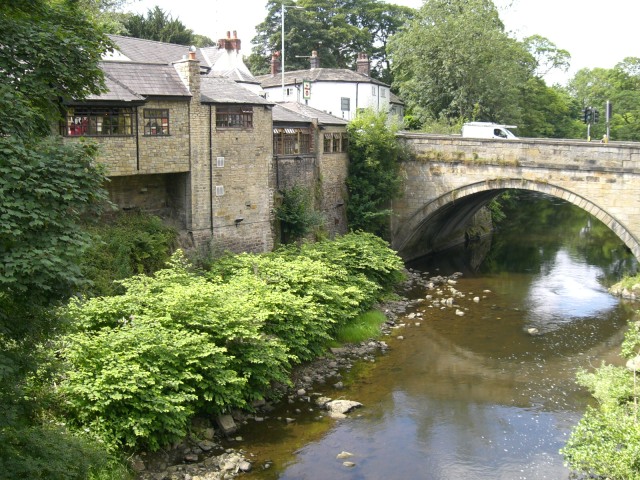
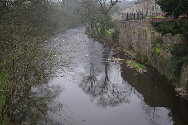
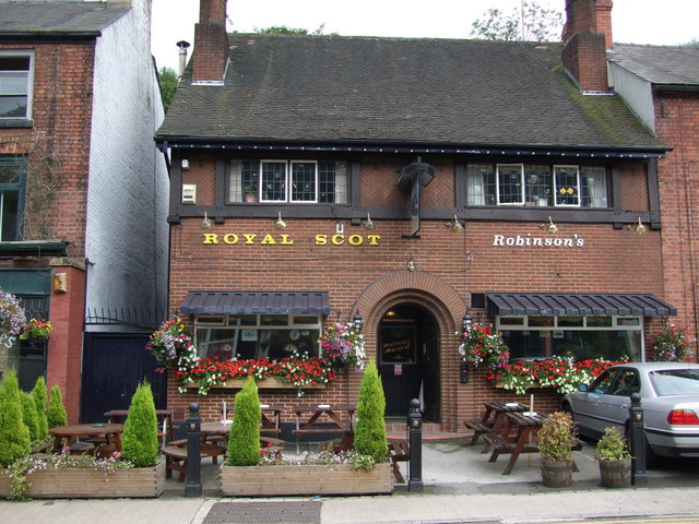
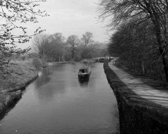
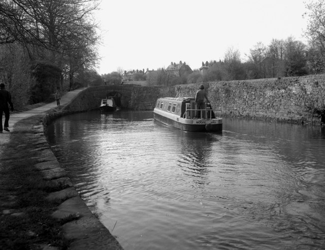
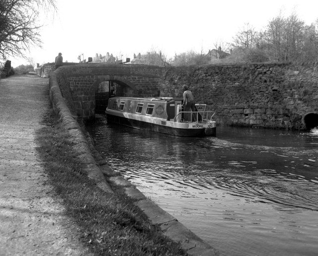
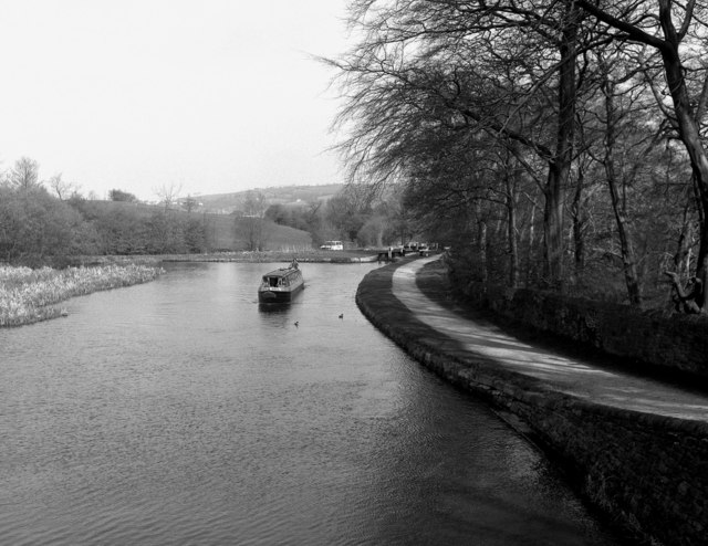
Cote Green Images
Images are sourced within 2km of 53.409944/-2.04585 or Grid Reference SJ9790. Thanks to Geograph Open Source API. All images are credited.


Cote Green is located at Grid Ref: SJ9790 (Lat: 53.409944, Lng: -2.04585)
Unitary Authority: Stockport
Police Authority: Greater Manchester
What 3 Words
///constants.shock.clinked. Near Marple, Manchester
Nearby Locations
Related Wikis

Goyt Way
The Goyt Way is a 10-mile (16 km) walking route from Etherow Country Park, Greater Manchester, to Whaley Bridge, Derbyshire, following the valley of the...

Compstall
Compstall is a village in the Metropolitan Borough of Stockport, Greater Manchester, England; it is situated between Marple Bridge and Romiley and is historically...

Marple Bridge
Marple Bridge is a district of Marple in the Metropolitan Borough of Stockport, Greater Manchester, England, on the River Goyt, which runs through the...

Brabyns Park
Brabyns Park is a public park in Marple Bridge, Stockport, Greater Manchester, England. == History == Brabyns Park was formerly the grounds of Brabyns...
Nearby Amenities
Located within 500m of 53.409944,-2.04585Have you been to Cote Green?
Leave your review of Cote Green below (or comments, questions and feedback).