Carron Glen

Valley in Stirlingshire

Scotland

Carron Glen

Ruined building, Crummocksteps
Ruined building, Crummocksteps Credit: Euan Nelson

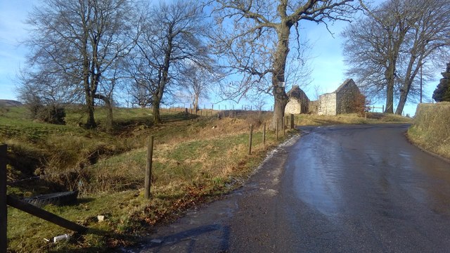
Carron Glen is a picturesque valley located in Stirlingshire, Scotland. Nestled between the towns of Denny and Larbert, it stretches for approximately 2 miles and is known for its stunning natural beauty. The valley is formed by the Carron River, which meanders through the landscape, creating a peaceful and serene atmosphere.

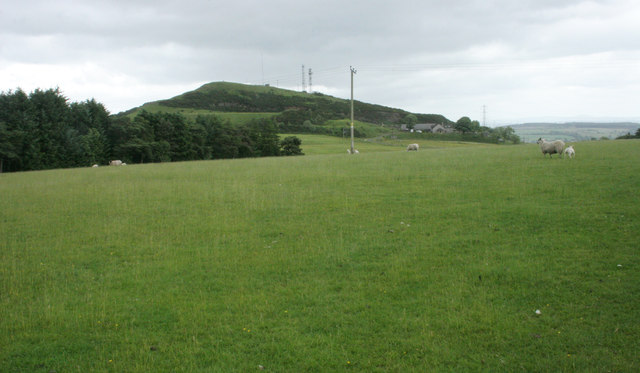
The area is characterized by its lush greenery, with dense woodlands and rolling hills surrounding the valley. The Carron River itself adds to the charm, as it flows gently through the glen, providing a habitat for various species of wildlife. Visitors can often spot birds, such as kingfishers and herons, as well as otters and other small mammals along the riverbanks.

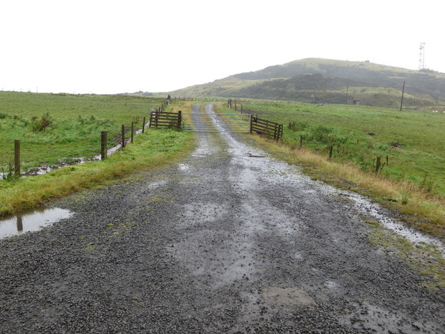
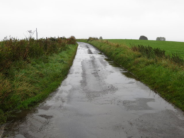
Carron Glen offers several walking trails, allowing visitors to explore the area and enjoy its natural wonders. The pathways are well-maintained and provide easy access to the valley's most scenic spots, including viewpoints that offer breathtaking vistas of the surrounding countryside. Additionally, there are picnic areas dotted throughout the glen, providing an ideal setting for a leisurely lunch amidst nature.

For history enthusiasts, Carron Glen is also home to the remains of the Carron Iron Works, which played a significant role in the Industrial Revolution. The ironworks, established in the 18th century, were once one of the largest in Europe, and remnants of the furnaces and buildings can still be seen today.

Overall, Carron Glen is a hidden gem in Stirlingshire, offering visitors a chance to immerse themselves in breathtaking natural beauty, enjoy tranquil walks, and learn about the area's industrial heritage. Whether it's for a peaceful day out or an exploration of Scotland's history, Carron Glen is a must-visit destination for nature lovers and history buffs alike.

If you have any feedback on the listing, please let us know in the comments section below.

Carron Glen Images

Images are sourced within 2km of 56.032495/-3.9582742 or Grid Reference NS7883. Thanks to Geograph Open Source API. All images are credited.

Ruined building, Crummocksteps
Track leading to Myot Hill Looking northward.
Track leading to Myot Hill
Looking northward.
Road at the entrance to Myothill Mains Looking north-eastward.
Road at the entrance to Myothill Mains
Looking north-eastward.
Field hedge No longer a good hedge to prevent stock movement, but still providing a degree of shelter and wildlife habitat.
Field hedge
No longer a good hedge to prevent stock movement, but still providing a degree of shelter and wildlife habitat.
Sheep grazing Looking towards Myot Hill, which is an Iron Age hill fort and a scheduled monument. Harvies Mailing is the farm to the right of the hill.
Sheep grazing
Looking towards Myot Hill, which is an Iron Age hill fort and a scheduled monument. Harvies Mailing is the farm to the right of the hill.
Minor road In the distance is Myot Hill, which is an Iron Age hill fort and a scheduled monument.
Minor road
In the distance is Myot Hill, which is an Iron Age hill fort and a scheduled monument.
Track to Muirhead Muirhead is a former farmstead, now in ruins.
Track to Muirhead
Muirhead is a former farmstead, now in ruins.
Broadside Farm
Broadside Farm
Broadside Water Treatment Works
Myot Hill from Greensburn
Fankerton
Fankerton
OS Flush Bracket S8931, House, Crummocksteps OS Flush Bracket S8931, House, Crummocksteps - heavily whitewashed and impossible to read
OS Flush Bracket S8931, House, Crummocksteps
OS Flush Bracket S8931, House, Crummocksteps - heavily whitewashed and impossible to read
OS Flush Bracket S8931 on House near Crummocksteps Ordnance Survey Flush Bracket S8931 on House near Crummocksteps
OS Flush Bracket S8931 on House near Crummocksteps
Ordnance Survey Flush Bracket S8931 on House near Crummocksteps
Small waterfall on the River Carron The river tumbles over this rocky step in Carron Glen.
Small waterfall on the River Carron
The river tumbles over this rocky step in Carron Glen.
Ruined farm buildings at Stoneyinch A small upland farm at about 175m above sea level which, presumably, became uneconomic at some point, with its land likely to have been absorbed into a larger farming unit.
Ruined farm buildings at Stoneyinch
A small upland farm at about 175m above sea level which, presumably, became uneconomic at some point, with its land likely to have been absorbed into a larger farming unit.
Hillside between Skea Craig and Shippytrouty Wood An area of hillside on a dolerite outcrop; there are a fair number of scattered Scots pines on this long spur of raised ground, as well as rowans and many gorse bushes.
Hillside between Skea Craig and Shippytrouty Wood
An area of hillside on a dolerite outcrop; there are a fair number of scattered Scots pines on this long spur of raised ground, as well as rowans and many gorse bushes.
Small cairn on Skea Craig The highest point on a dolerite outcrop above the Loch Coulter Reservoir.
Small cairn on Skea Craig
The highest point on a dolerite outcrop above the Loch Coulter Reservoir.
Show me another place!

Carron Glen is located at Grid Ref: NS7883 (Lat: 56.032495, Lng: -3.9582742)

Unitary Authority: Falkirk

Police Authority: Forth Valley

What 3 Words

///disgraced.info.munch. Near Dunipace, Falkirk

Nearby Locations

Fankerton Carron Glen

Related Wikis

Fankerton

Fankerton is a small village which lies within the Falkirk council area of Scotland. The village is 1 mile (1.6 km) west of Denny and 6.3 miles (10.1 km...

Strathcarron Hospice

Strathcarron Hospice is a free palliative care resource in Denny, Scotland, serving people in the Forth Valley and North Lanarkshire areas. It was established...

Stoneywood, Falkirk

Stoneywood is a small village which lies in the Falkirk council area of Scotland. The village is located 0.1 miles (0.2 km) west of Denny and 7.3 miles...

Herbertshire Castle

Herbertshire Castle was a castle built in the Barony of Herbertshire in the early fifteenth century, located near Dunipace, Falkirk, central Scotland....

Nearby Amenities

Located within 500m of 56.032495,-3.9582742
Power: pole
Lat/Long: 56.0302334/-3.9632768
Power: pole
Lat/Long: 56.029734/-3.9624394
Power: pole
Lat/Long: 56.029237/-3.9616082
Power: pole
Lat/Long: 56.0286398/-3.9608874
Power: pole
Lat/Long: 56.0291869/-3.9602958
The data included in this document is from www.openstreetmap.org. The data is made available under ODbL.

Have you been to Carron Glen?

Leave your review of Carron Glen below (or comments, questions and feedback).