Fankerton

Settlement in Stirlingshire

Scotland

Fankerton

Ruined building, Crummocksteps
Ruined building, Crummocksteps Credit: Euan Nelson

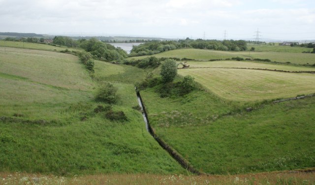
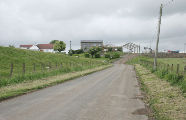
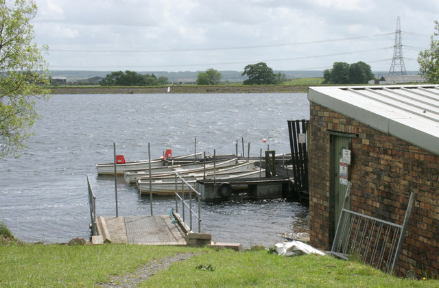
Fankerton is a small village located in the Stirlingshire region of Scotland. Situated about three miles southeast of Denny, it is nestled in the scenic countryside between the River Carron and the Forth and Clyde Canal. Fankerton falls under the jurisdiction of Falkirk Council.

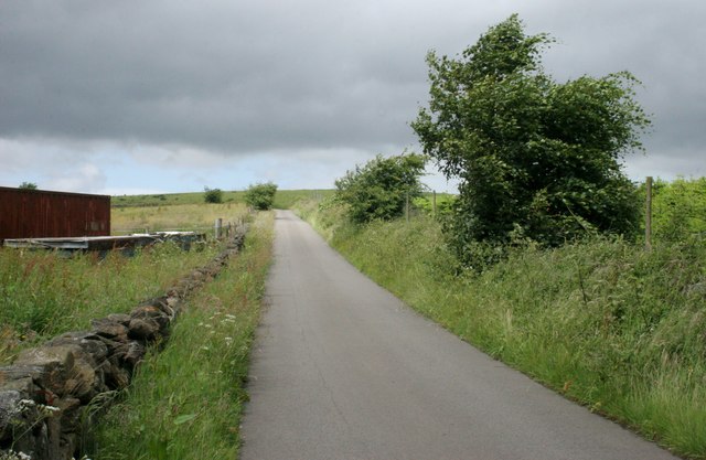
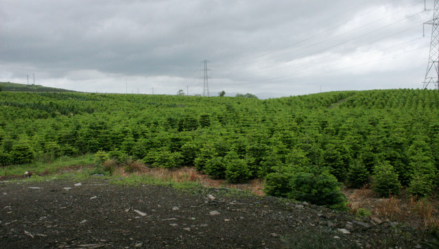
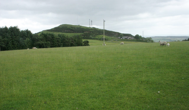
The village has a rich history, dating back to at least the 17th century. It was once known for its agricultural activities, with farming and livestock rearing being the mainstay of the local economy. Today, Fankerton retains its rural charm, with picturesque landscapes and a close-knit community.

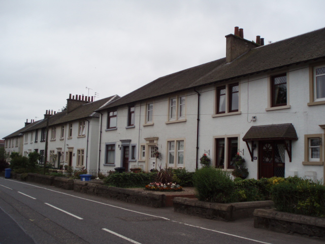
The village is characterized by traditional stone-built houses, many of which have been well-preserved, giving Fankerton a quaint and historic ambiance. The surrounding countryside offers ample opportunities for outdoor activities such as hiking, cycling, and fishing. The nearby canal is also popular for boating enthusiasts.

Despite its small size, Fankerton has a strong sense of community, with various local organizations and clubs that bring residents together. These include sports clubs, community centers, and social groups that organize events and activities throughout the year.

Although Fankerton is primarily a residential area, it benefits from its close proximity to larger towns and cities. The nearby town of Denny provides access to essential amenities such as shops, schools, and healthcare facilities.

Overall, Fankerton is a charming village that offers a peaceful and idyllic lifestyle within the stunning Scottish countryside.

If you have any feedback on the listing, please let us know in the comments section below.
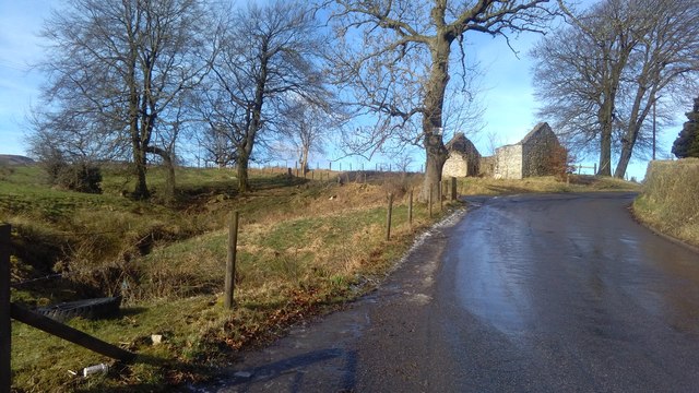
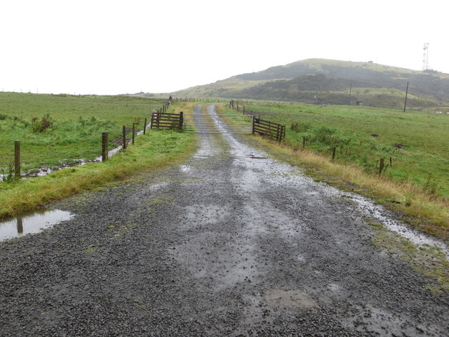
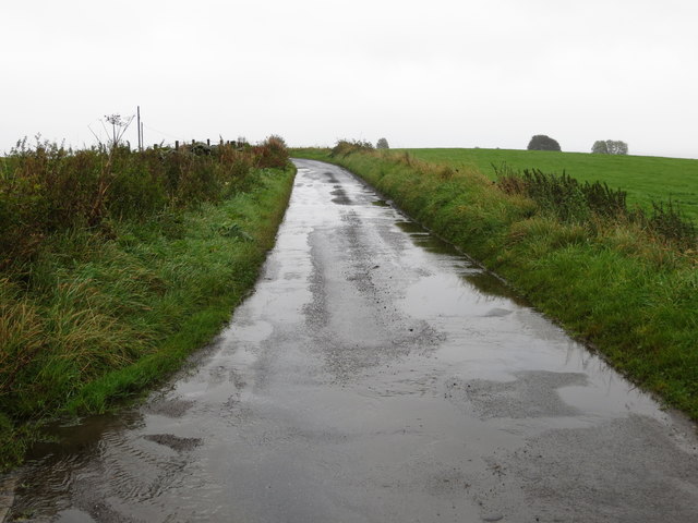
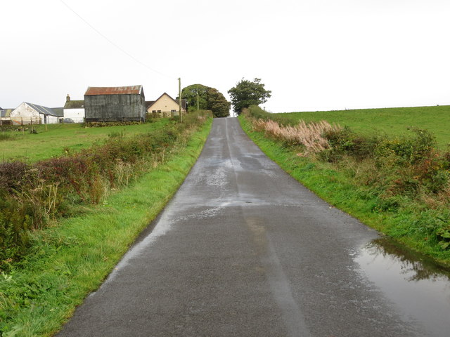
Fankerton Images

Images are sourced within 2km of 56.025576/-3.943125 or Grid Reference NS7883. Thanks to Geograph Open Source API. All images are credited.

Ruined building, Crummocksteps
Track leading to Myot Hill Looking northward.
Track leading to Myot Hill
Looking northward.
Road at the entrance to Myothill Mains Looking north-eastward.
Road at the entrance to Myothill Mains
Looking north-eastward.
Road approaching Blaefaulds Looking south-eastward.
Road approaching Blaefaulds
Looking south-eastward.
Little Denny Burn The burn leads into Little Denny Reservoir in the distance.
Little Denny Burn
The burn leads into Little Denny Reservoir in the distance.
Little Denny Reservoir The Little Denny Burn flows through the hollow in the foreground.
Little Denny Reservoir
The Little Denny Burn flows through the hollow in the foreground.
Drumbowie The embankment on the left is part of the dam wall for Drumbowie Reservoir.
Drumbowie
The embankment on the left is part of the dam wall for Drumbowie Reservoir.
Drumbowie Reservoir Boats beside the boathouse on the northern shore of the reservoir.
Drumbowie Reservoir
Boats beside the boathouse on the northern shore of the reservoir.
Road to the northwest of Glenhead
Field of Christmas trees Beside Glenhead.
Field of Christmas trees
Beside Glenhead.
Field hedge No longer a good hedge to prevent stock movement, but still providing a degree of shelter and wildlife habitat.
Field hedge
No longer a good hedge to prevent stock movement, but still providing a degree of shelter and wildlife habitat.
Sheep grazing Looking towards Myot Hill, which is an Iron Age hill fort and a scheduled monument. Harvies Mailing is the farm to the right of the hill.
Sheep grazing
Looking towards Myot Hill, which is an Iron Age hill fort and a scheduled monument. Harvies Mailing is the farm to the right of the hill.
Broadside Farm
Broadside Farm
Broadside Water Treatment Works
Myot Hill from Greensburn
Fankerton
Fankerton
OS Flush Bracket S8931, House, Crummocksteps OS Flush Bracket S8931, House, Crummocksteps - heavily whitewashed and impossible to read
OS Flush Bracket S8931, House, Crummocksteps
OS Flush Bracket S8931, House, Crummocksteps - heavily whitewashed and impossible to read
OS Flush Bracket S8931 on House near Crummocksteps Ordnance Survey Flush Bracket S8931 on House near Crummocksteps
OS Flush Bracket S8931 on House near Crummocksteps
Ordnance Survey Flush Bracket S8931 on House near Crummocksteps
Show me another place!

Fankerton is located at Grid Ref: NS7883 (Lat: 56.025576, Lng: -3.943125)

Unitary Authority: Falkirk

Police Authority: Forth Valley

What 3 Words

///lighters.reinvest.inherit. Near Dunipace, Falkirk

Nearby Locations

Carron Glen Fankerton

Related Wikis

Fankerton

Fankerton is a small village which lies within the Falkirk council area of Scotland. The village is 1 mile (1.6 km) west of Denny and 6.3 miles (10.1 km...

Strathcarron Hospice

Strathcarron Hospice is a free palliative care resource in Denny, Scotland, serving people in the Forth Valley and North Lanarkshire areas. It was established...

Stoneywood, Falkirk

Stoneywood is a small village which lies in the Falkirk council area of Scotland. The village is located 0.1 miles (0.2 km) west of Denny and 7.3 miles...

Herbertshire Castle

Herbertshire Castle was a castle built in the Barony of Herbertshire in the early fifteenth century, located near Dunipace, Falkirk, central Scotland....

Nearby Amenities

Located within 500m of 56.025576,-3.943125
Fankerton
Created By: POI Editor
Place: hamlet
Source: npe
Lat/Long: 56.0251727/-3.9427933
Power: tower
Lat/Long: 56.0238709/-3.9495437
Hospital
Strathcarron Hospice
Addr City: Denny
Addr Postcode: FK6 5HJ
Addr Street: Randolph Hill
Source: OS_Streetview_Opendata
Wikidata: Q7622034
Lat/Long: 56.0244195/-3.9393207
Power: tower
Lat/Long: 56.0276978/-3.9425112
Power: tower
Lat/Long: 56.029466/-3.9392617
Power: tower
Lat/Long: 56.0253191/-3.9468826
Parking
Capacity: 5
Fee: no
Parking: surface
Source: survey
Lat/Long: 56.0259154/-3.9456068
Post Box
Post Box Type: lamp
Royal Cypher: scottish_crown
Source: survey
Lat/Long: 56.0254068/-3.9423861
Parking
Fee: no
Parking: surface
Source: survey
Lat/Long: 56.0259017/-3.9445266
Scottish Wildlife Trust
Board Type: welcome_sign
Information: board
Operator: Scottish Wildlife Trust
Tourism: information
Lat/Long: 56.0267031/-3.9356872
Power: pole
Lat/Long: 56.028923/-3.9386582
Power: pole
Lat/Long: 56.025222/-3.9506464
Power: pole
Lat/Long: 56.0253315/-3.9491778
Power: pole
Lat/Long: 56.0254397/-3.9476487
Power: pole
Lat/Long: 56.0254933/-3.9466113
Power: pole
Lat/Long: 56.0251662/-3.9471591
Power: pole
Lat/Long: 56.0248332/-3.9465779
Power: pole
Lat/Long: 56.0242232/-3.9455176
Power: pole
Lat/Long: 56.0240299/-3.9443343
Power: pole
Lat/Long: 56.0236912/-3.9423011
Power: pole
Lat/Long: 56.0240975/-3.9414241
Power: pole
Lat/Long: 56.0244875/-3.9405179
Power: pole
Lat/Long: 56.0238448/-3.9403429
Power: pole
Lat/Long: 56.0232907/-3.9401534
Power: pole
Lat/Long: 56.0227994/-3.9398638
Power: pole
Lat/Long: 56.0223162/-3.9395534
Power: pole
Lat/Long: 56.0218738/-3.9392826
Power: pole
Lat/Long: 56.0282731/-3.9391389
Power: pole
Lat/Long: 56.0276702/-3.9395534
Power: pole
Lat/Long: 56.0267668/-3.9402346
Power: pole
Lat/Long: 56.0258449/-3.9408658
Power: pole
Lat/Long: 56.0250963/-3.9407679
The data included in this document is from www.openstreetmap.org. The data is made available under ODbL.

Have you been to Fankerton?

Leave your review of Fankerton below (or comments, questions and feedback).